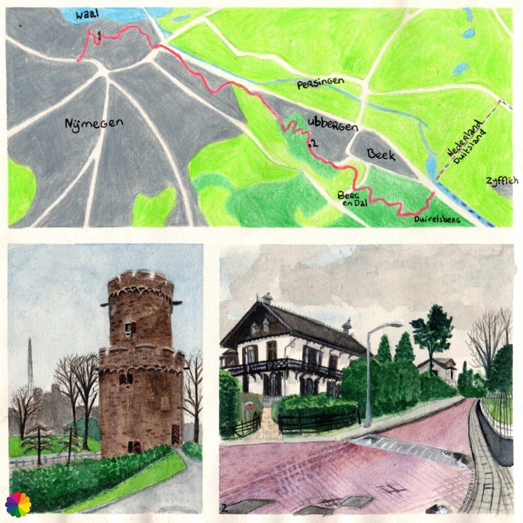
Today is the big day: I will complete my first long-distance hiking trail in the Netherlands. Well, the Dutch part, because the Great rivers trail goes even further into Germany towards Kleve. I start in Nijmegen and leave the great rivers behind me. I seek higher ground in the fantastic Berg and Dal region. My finish line is at the Duivelsberg (Devil’s Mountain), where long distance trail 16 the Roman Limespad also ends.
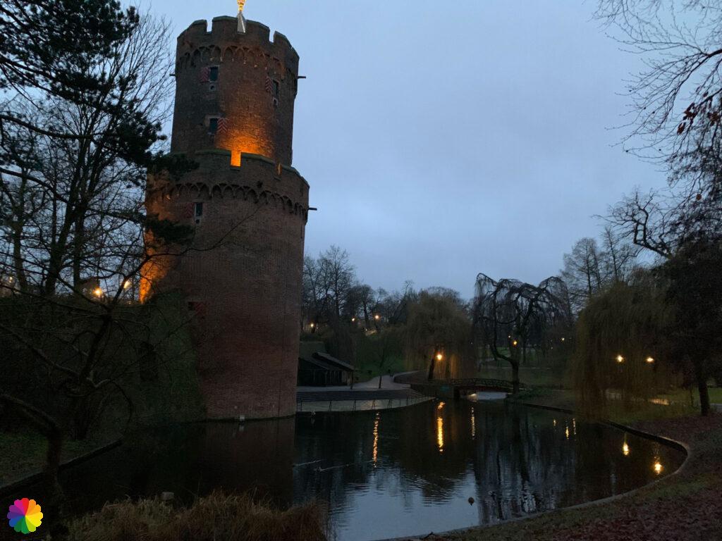
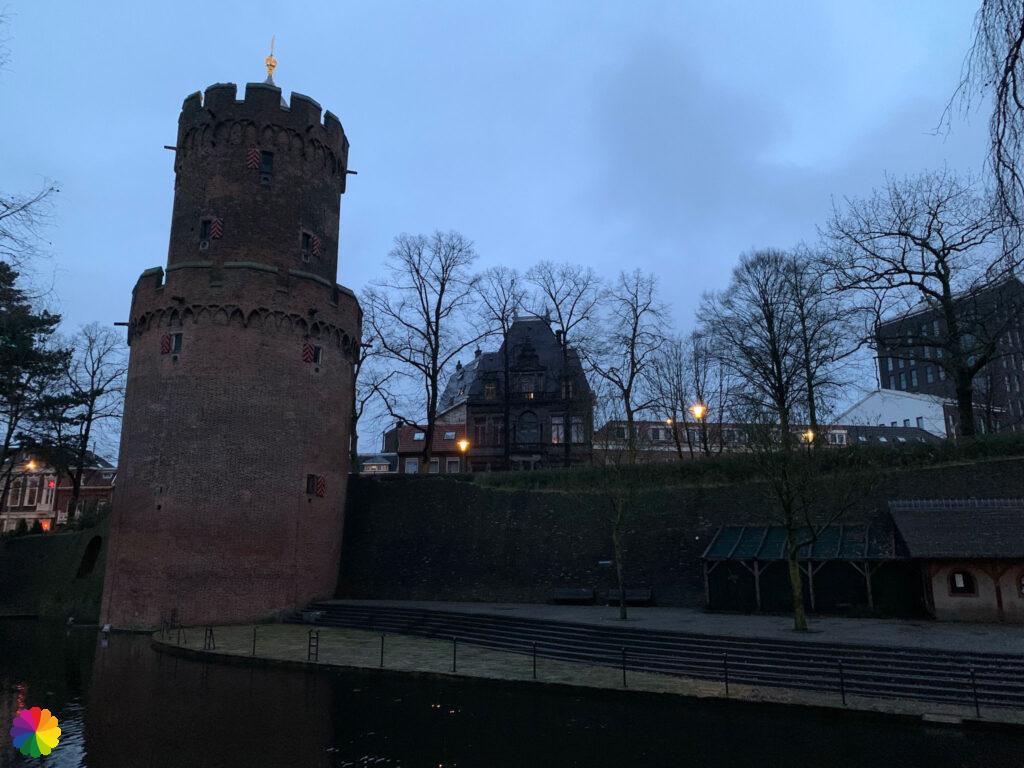
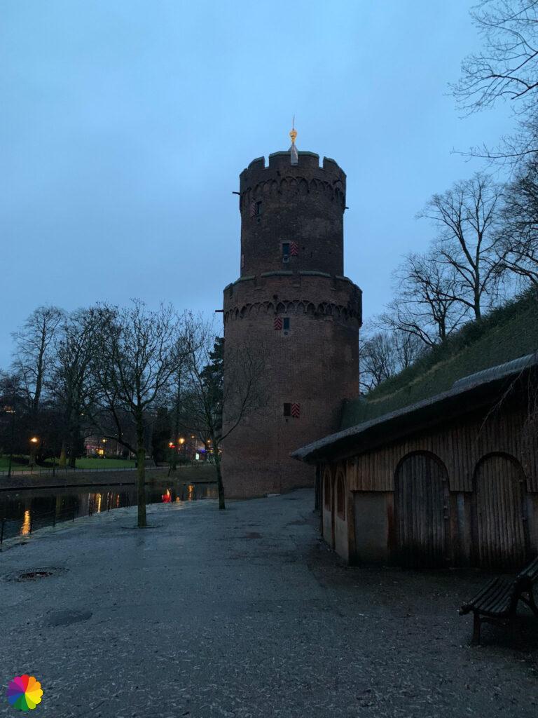
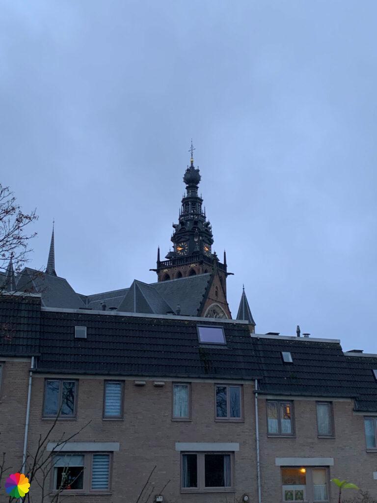
It’s still dark in Nijmegen
I travel to Nijmegen on the second-to-last day of the year (2021). I had planned to complete the Great rivers trail this year. And I am just about to achieve that. The starting point of this hike is at the Waal river, where I ended last time. Via a back-and-forth track I first walk from Nijmegen station to the Waal river via the Veemarkt. Only to find out at the Waal river that I have to go back to the Kronenburger park again via the Veemarkt.
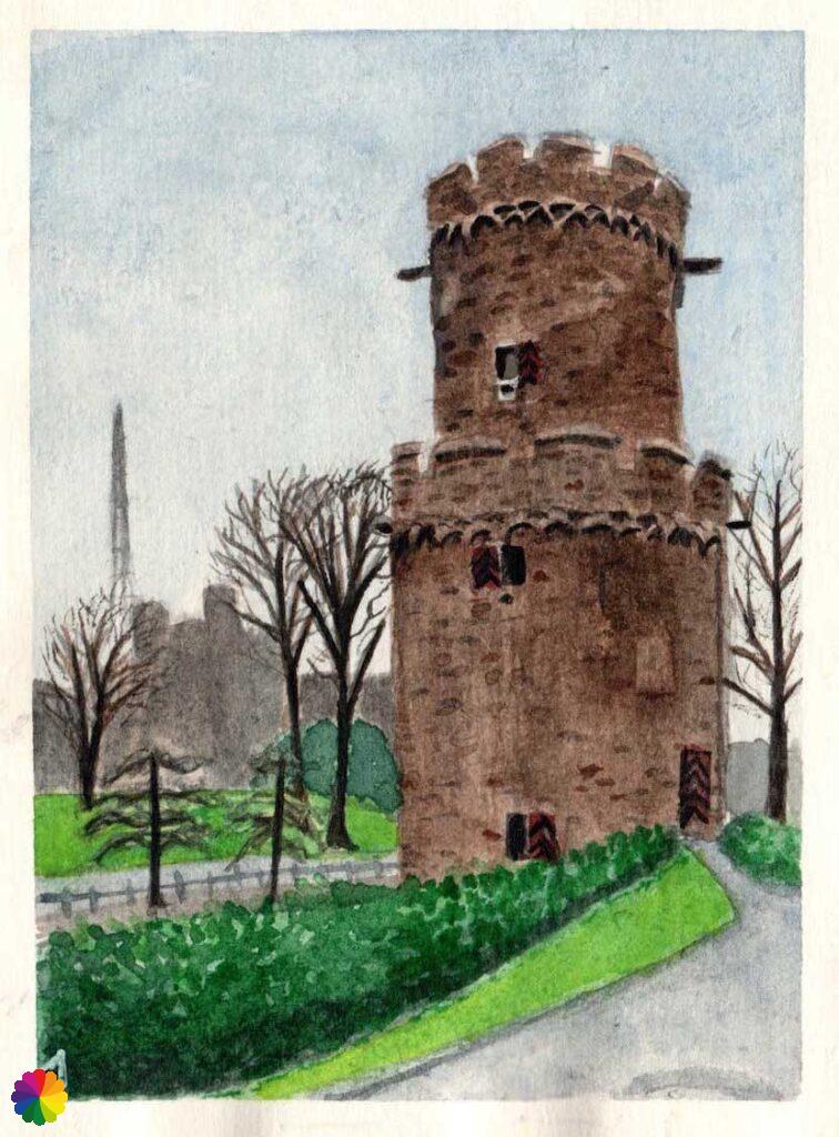
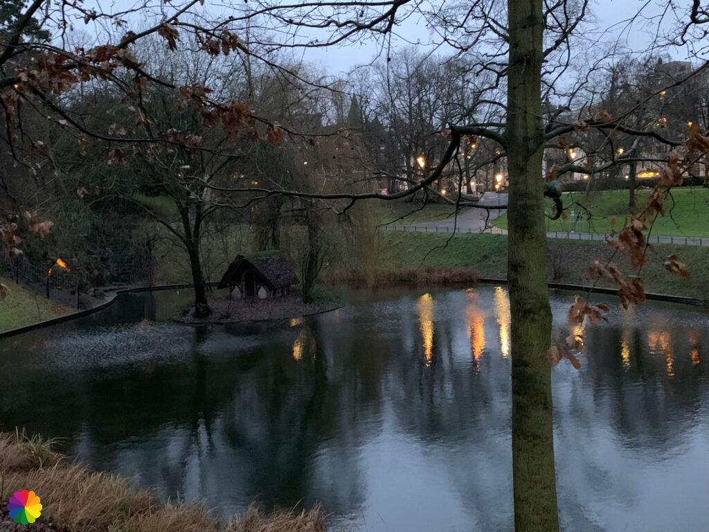
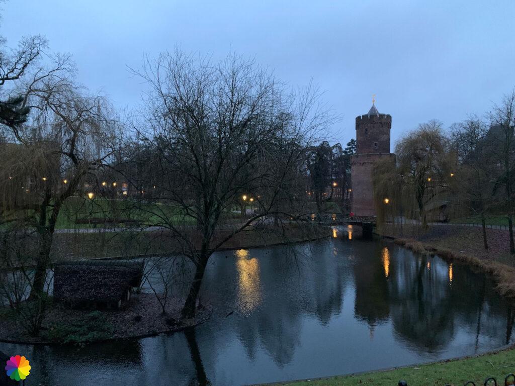
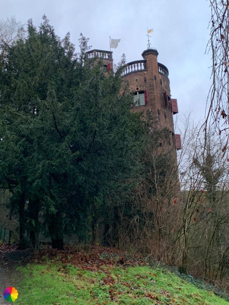
The trail does not go through the park, but I walk an extra lap through it myself. This is because it is still dark and the medieval tower in the park looks beautiful in the blue light. I walk around the pond in the middle of the park. In the pond is a huge duck villa.
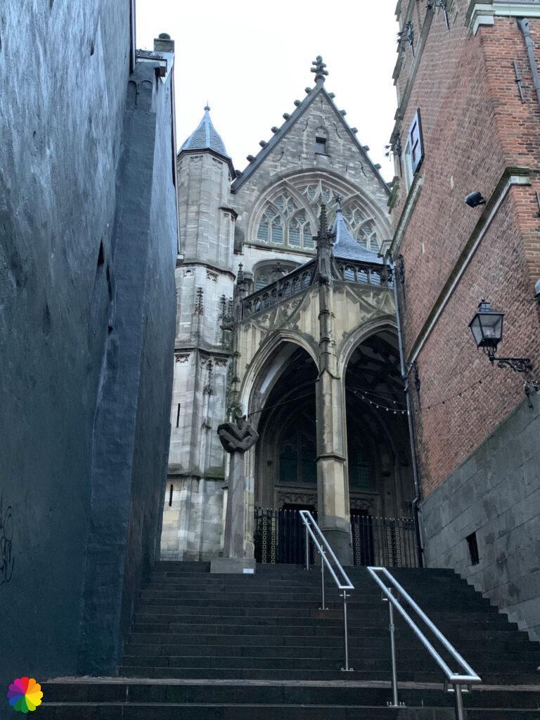
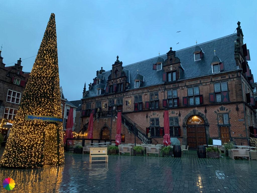
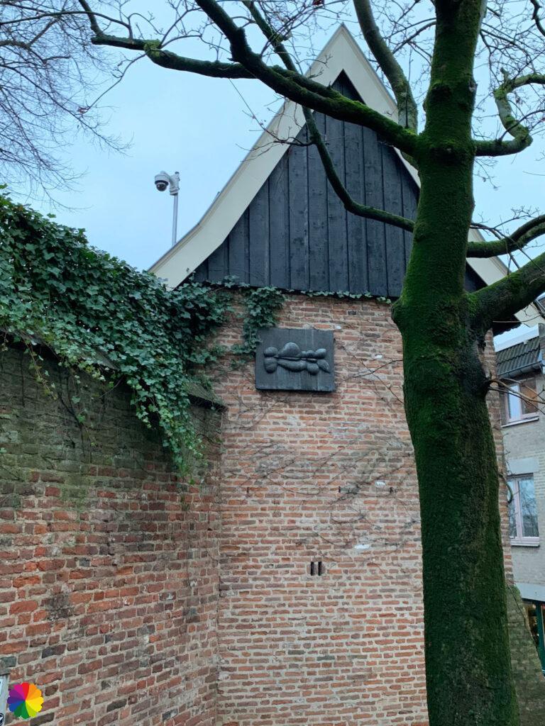
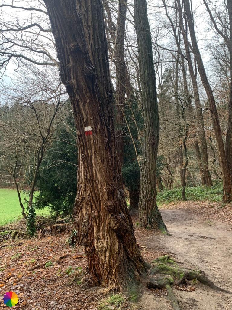
After the lap through the park, I climb steeply up through the city centre. The shops are still closed. To my left, St Steven’s Church peeks out between the buildings. A gargoyle keeps watch. I really should have gone in here, but finding the trail in a city is quite tricky. There are different stickers on each lamppost; the red and white markings are easily overlooked. I pass the Grote Markt and the Waag. It looks cosy with the festive lights.

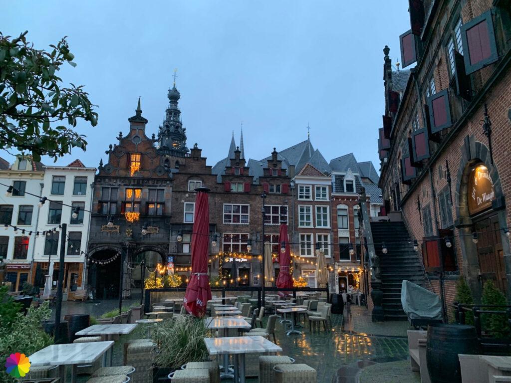
I turn left into a narrow street. I reach a square with a terrace and a restaurant in a beautiful building. I go right around the building, walk down a flight of stairs and there I come across the markings again. I turn right and then left and suddenly I am back at the Waal river.
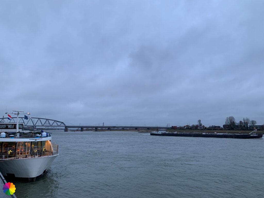
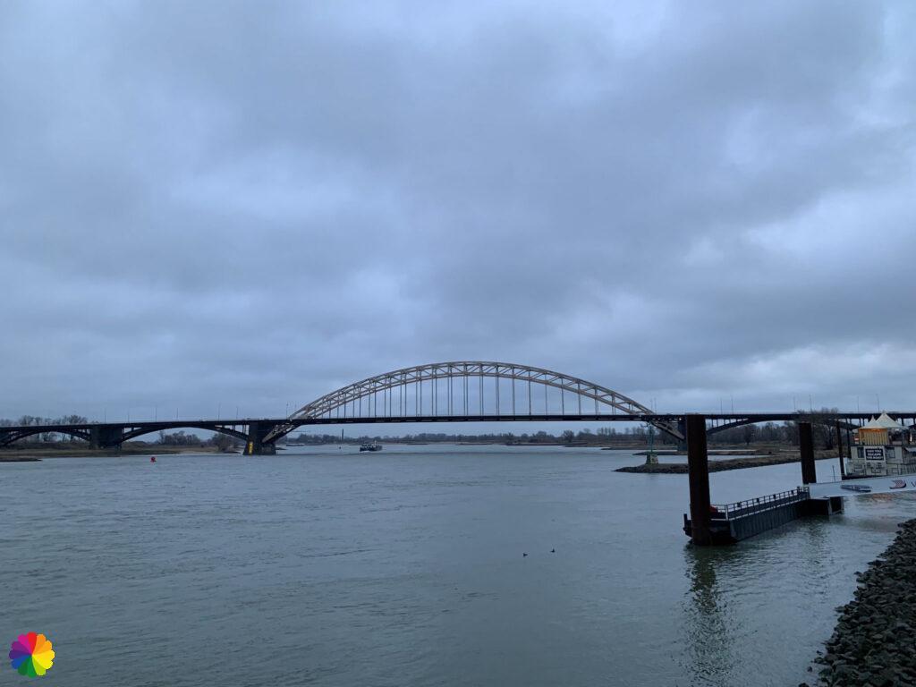
I walk a bit on the promenade along the Waal river. At the lawn, I take a break and enjoy my coffee and the view.
The Valkhof and Hunner park
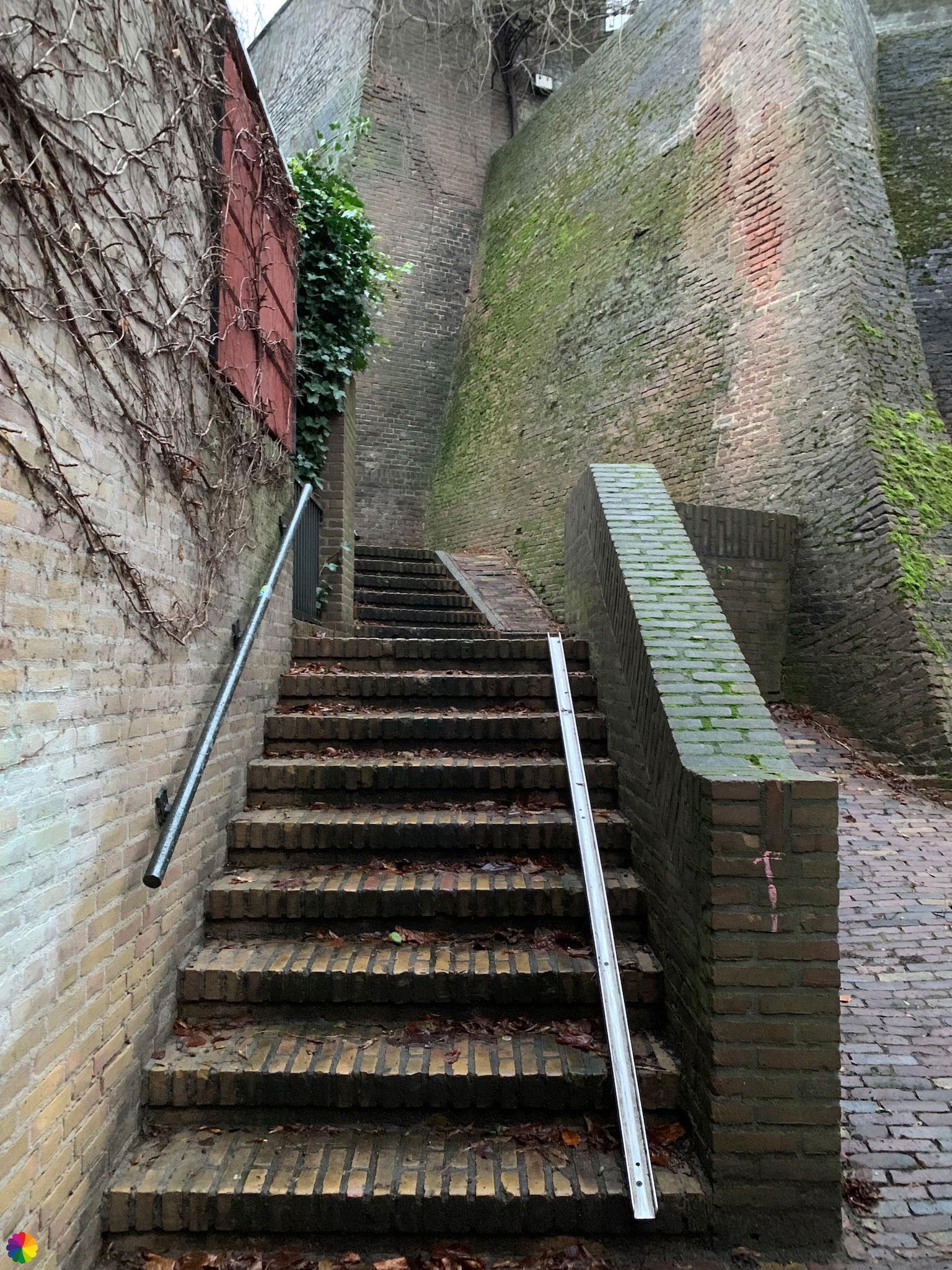
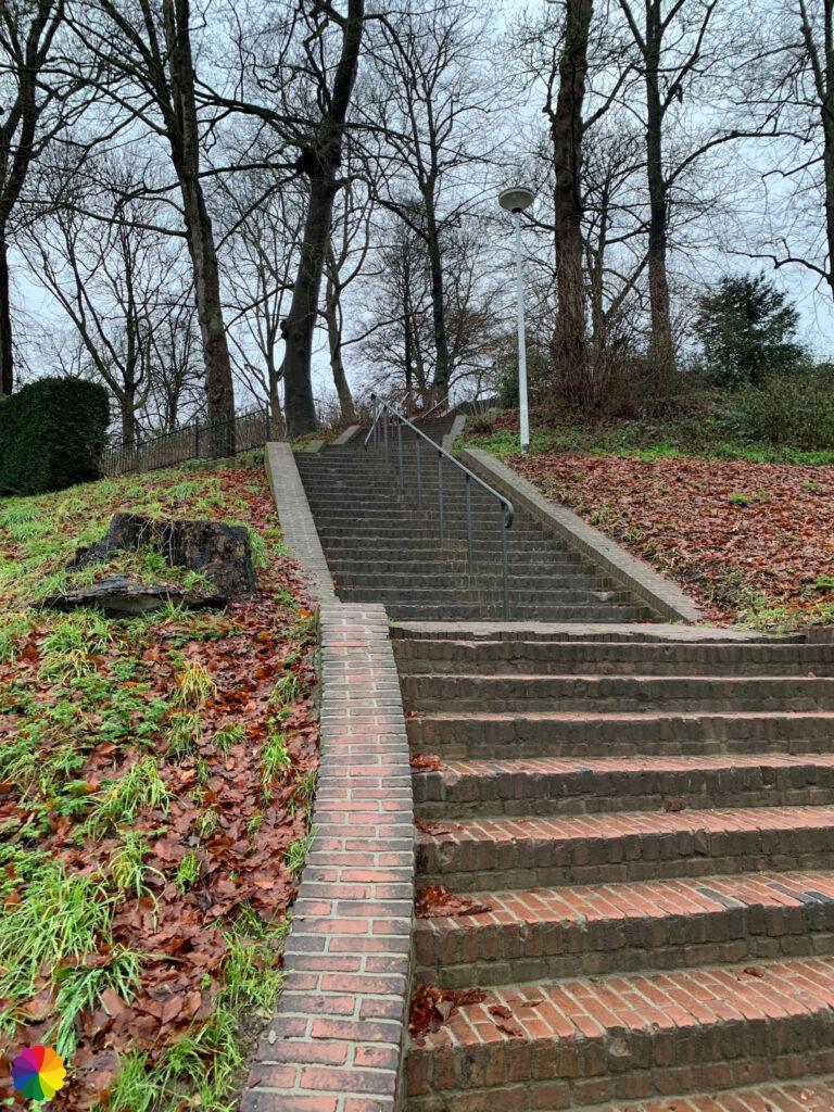
I go up via a set of stairs near museum the Bastei. What a difference in height! Halfway up the steps, I have a nice view over the river.
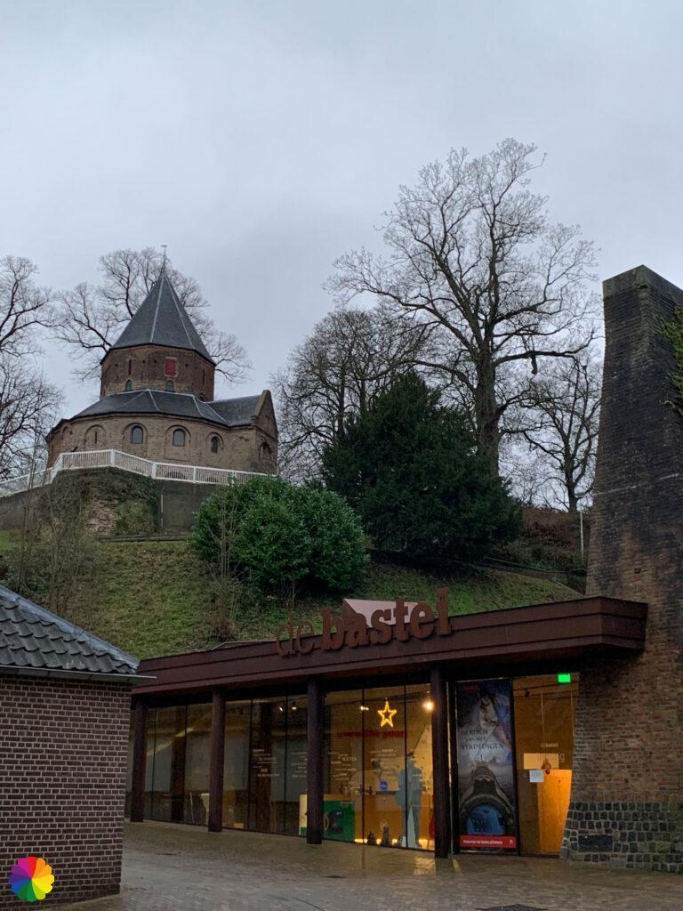

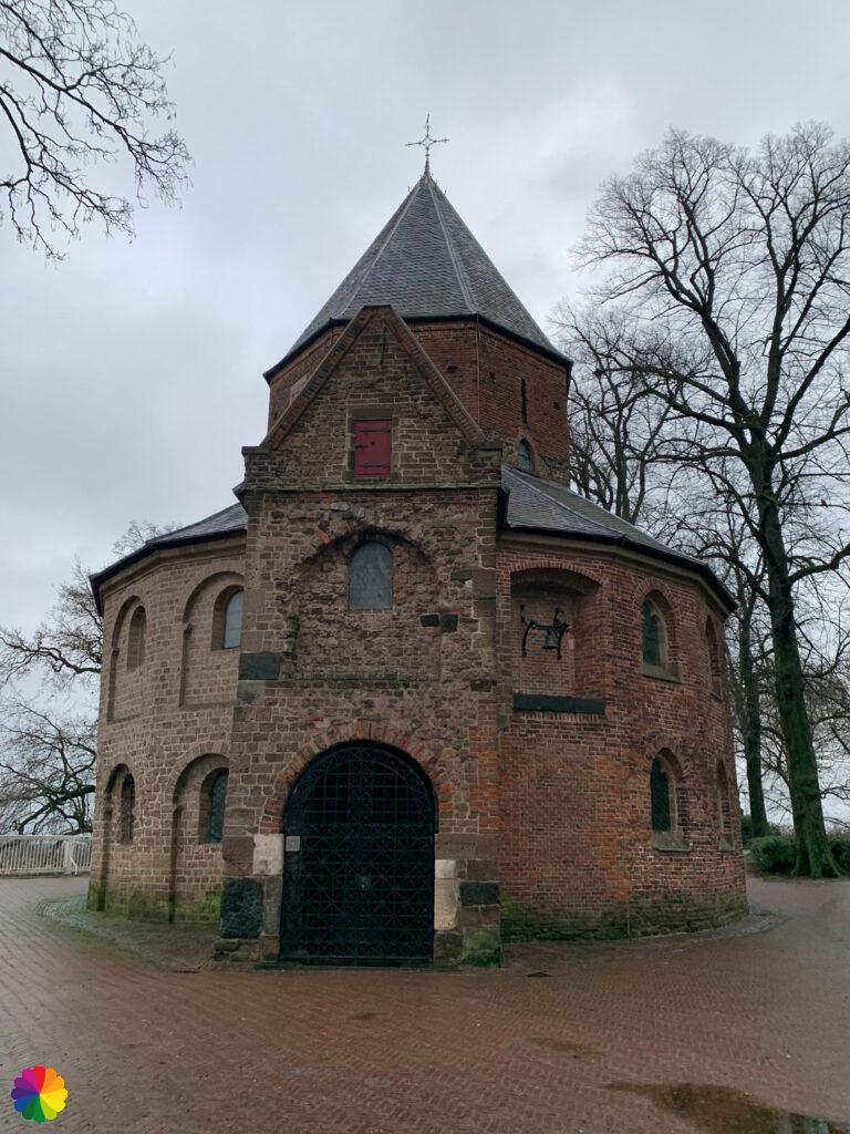
At the top of the stairs, I am in Valkhof Park. Immediately after the stairs is the medieval St Nicholas Chapel.
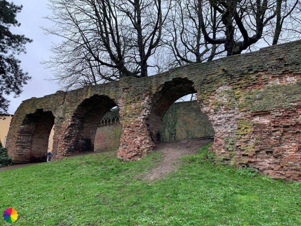
I walk around the chapel and am in the middle of the park. Further on in the park is an ancient ruin, which I briefly walk to. Then quickly back down the steps.


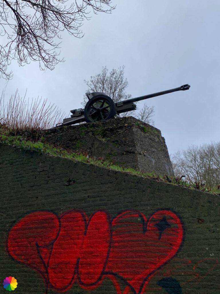
At the bottom of the steps, I cross a busy intersection, then turn right and walk past a wall with a heart of graffiti and a cannon on top. Then I pass hotel Belvédère housed in a castle.
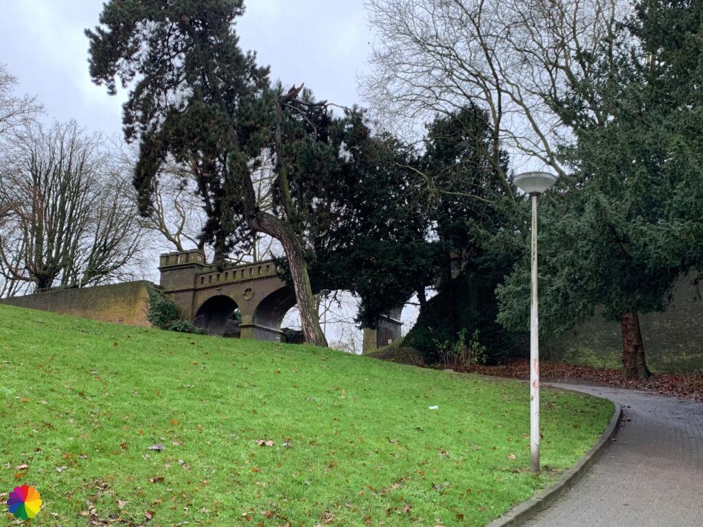
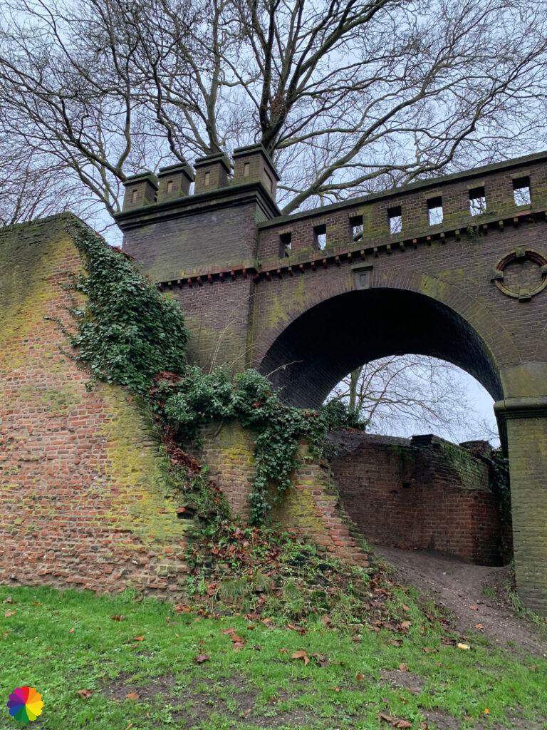
I am now in Hunner Park and walk past a historic gate and wall. I also take a photo of the statue in the middle of the park.

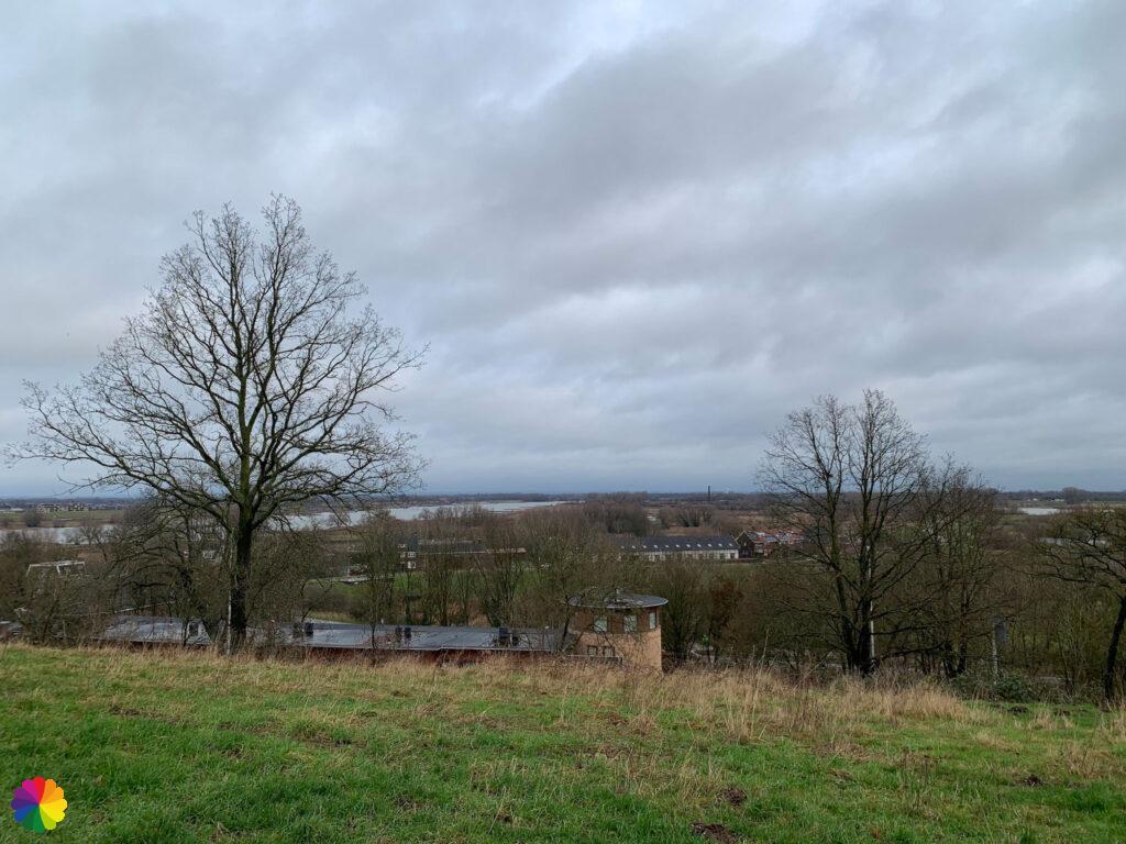
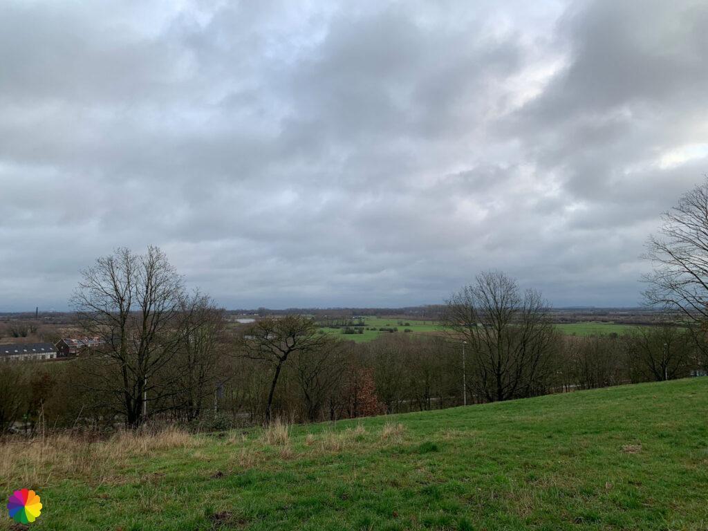
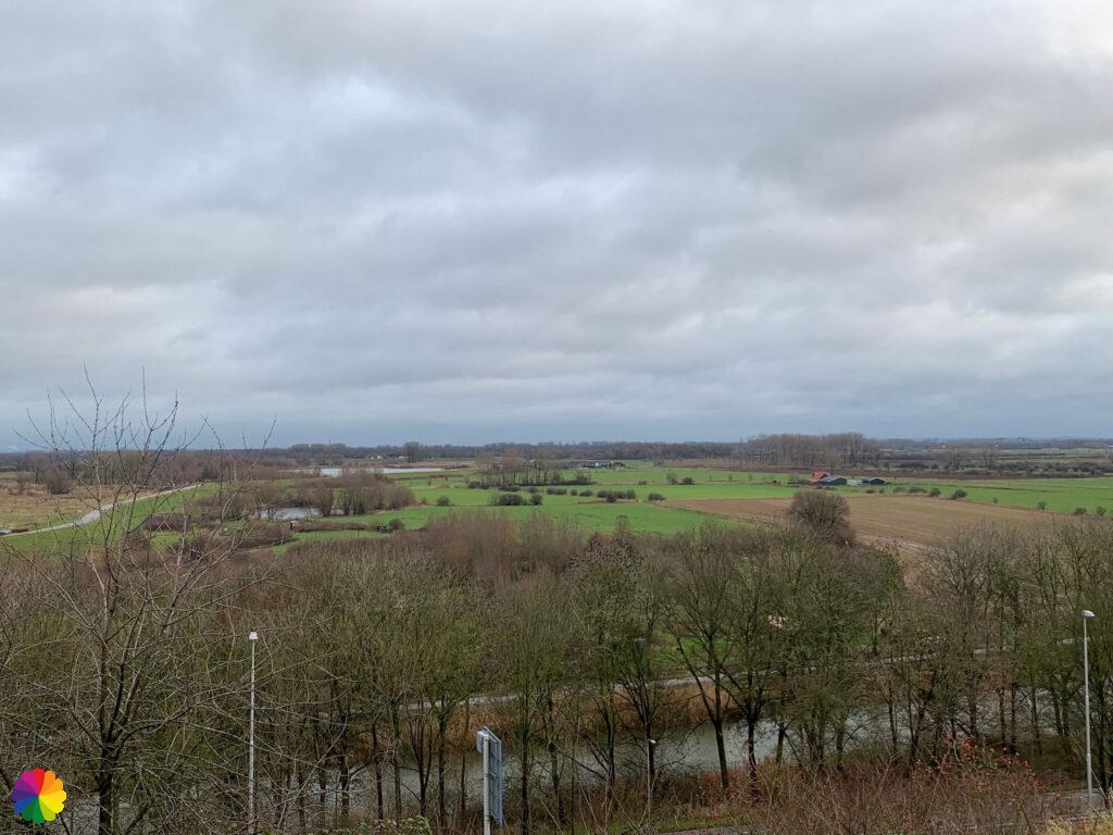
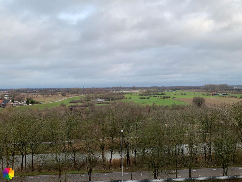
I cross another junction and head up a footpath steeply at a nursing home. Never knew there were such differences in height within a city in the Netherlands. From this height, I have a view of the Waal river and the Ooijpolder. I walk a little over a wall to get a better view.
Past the nursing home, I turn right and walk through a residential area. I come across information panels on Roman history. Long distance trail 16 the Limespad also passes here, which has as its theme the northern edge of the Roman Empire. And so, as the oldest city in the Netherlands, the Limespad also passes through Nijmegen. Also, the Roman Limes has now been added to the list of UNESCO World Heritage Sites.
Other trail guide about Nijmegen region
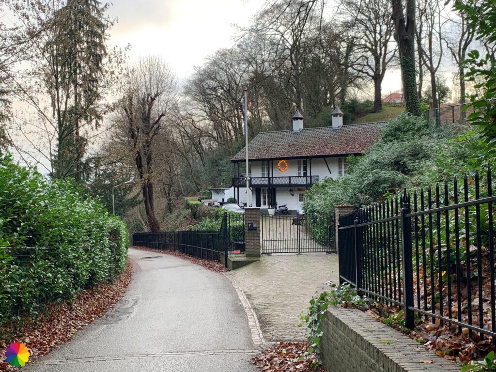
I have to be careful to follow the right markings. I turn left and walk steeply downhill past the most beautiful houses. I can’t believe my eyes. The houses seem to have come straight from Austria. How beautiful it will be here when it has been snowing. But also slippery, because the road is very steep. I walk along a path behind a house and am at the foot of the hills in Ubbergen. At a bus stop, I take a break.
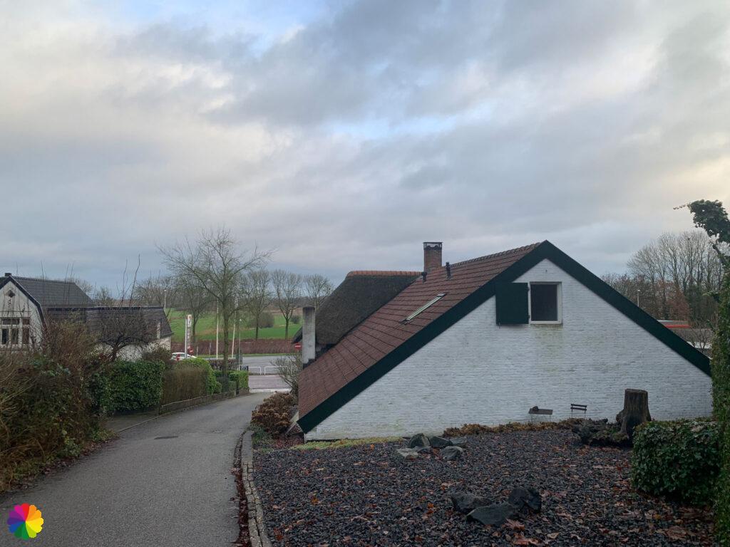
Up hill, down hill
I walk along the road for a bit, I keep to the right and go up steeply past more pretty retreats. Not much later, the path goes down a bit and I am once again near the road with a beautiful villa on the other side.

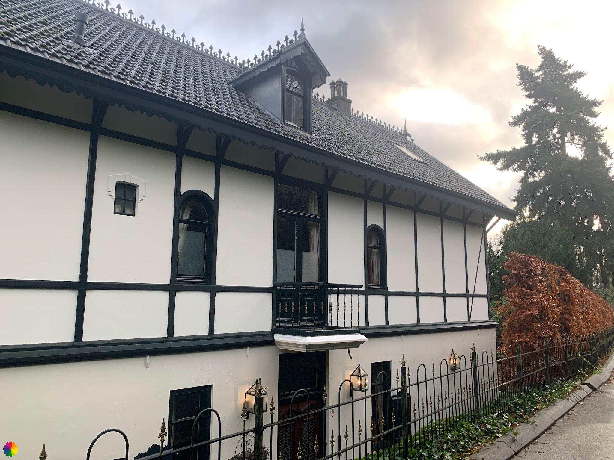
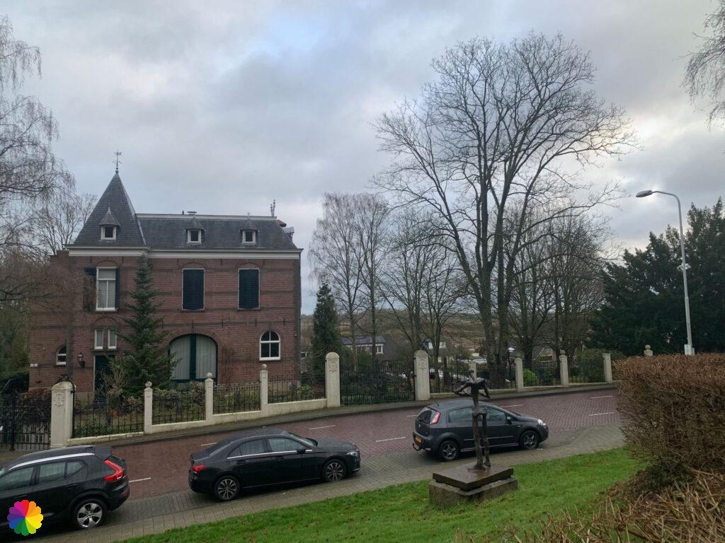
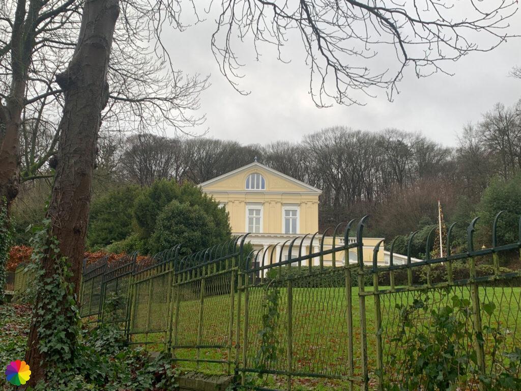
And again I go up a hill. You can’t call this part of the trail monotonous. I pass a small white church and next to it a giant pastel yellow country house. Eventually I reach a Y-junction where villa het Maartenshof is located. Here I turn right.


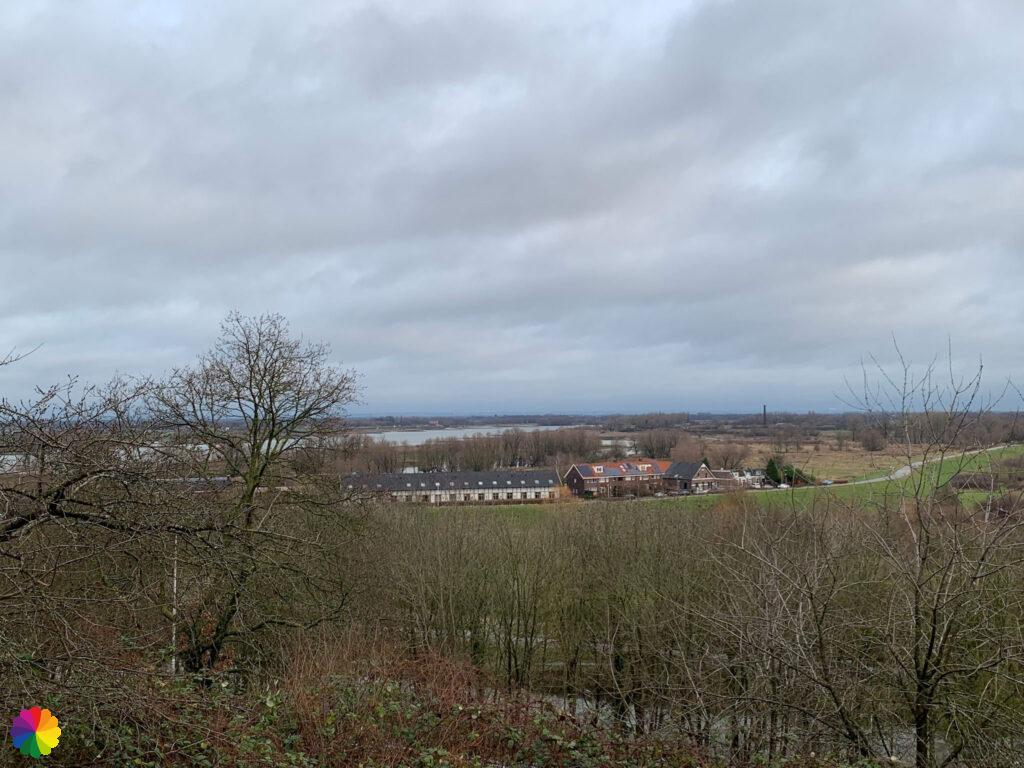
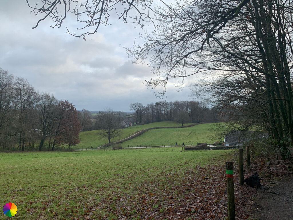
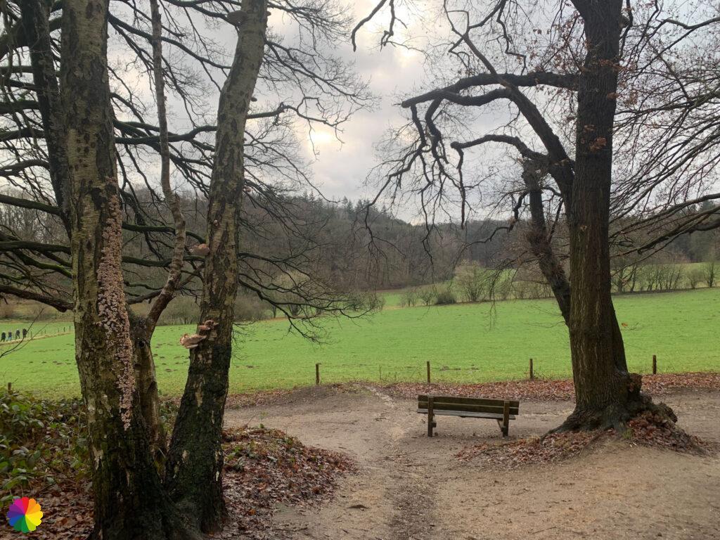
The road gets even steeper. I start to feel it in my legs. At the top of the hill, I turn left and I am in the forest area of Beek Estate. Further on at a bench, I have a beautiful view over the valley with a village in the distance. A gentleman next to me says it’s Persingen, the smallest church village in the Netherlands. I copied the latter from Wikipedia, by the way. I thought he said it was the oldest village in the Netherlands. And that seemed logical to me since the oldest city, Nijmegen, is nearby. Anyway, back to the hike.
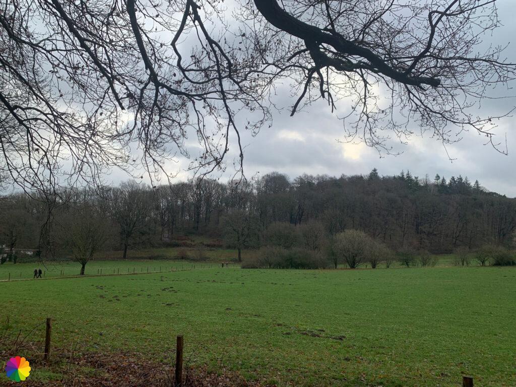
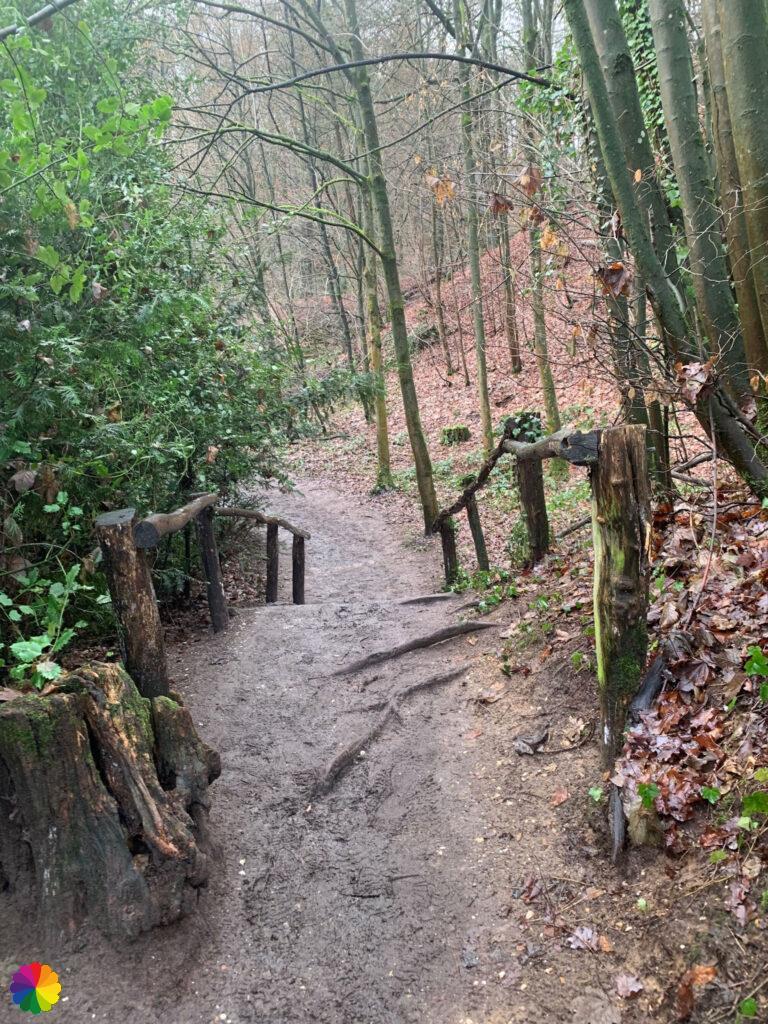
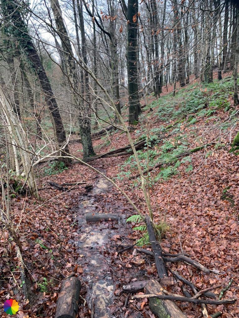
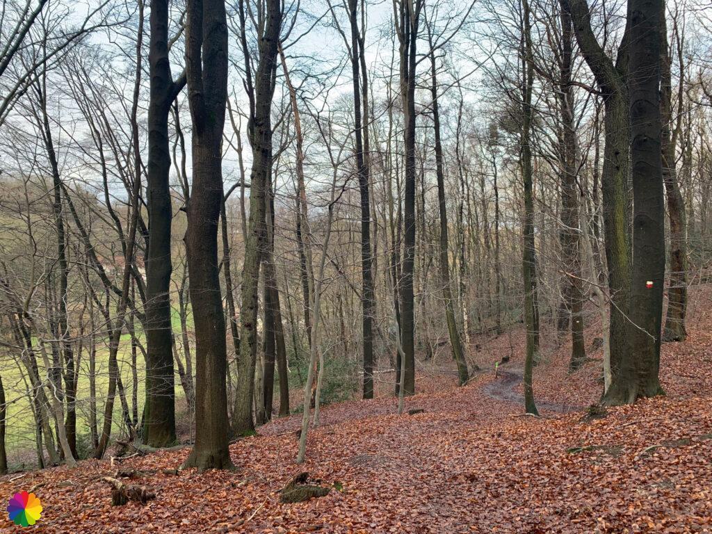
Once again I walk up and down hills, but this time between the leafless trees. It is quite busy today, I meet many other hikers.
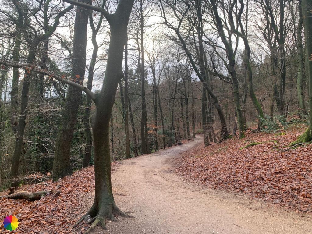
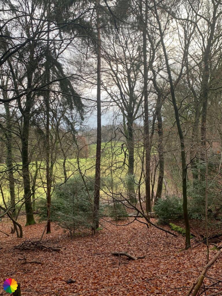

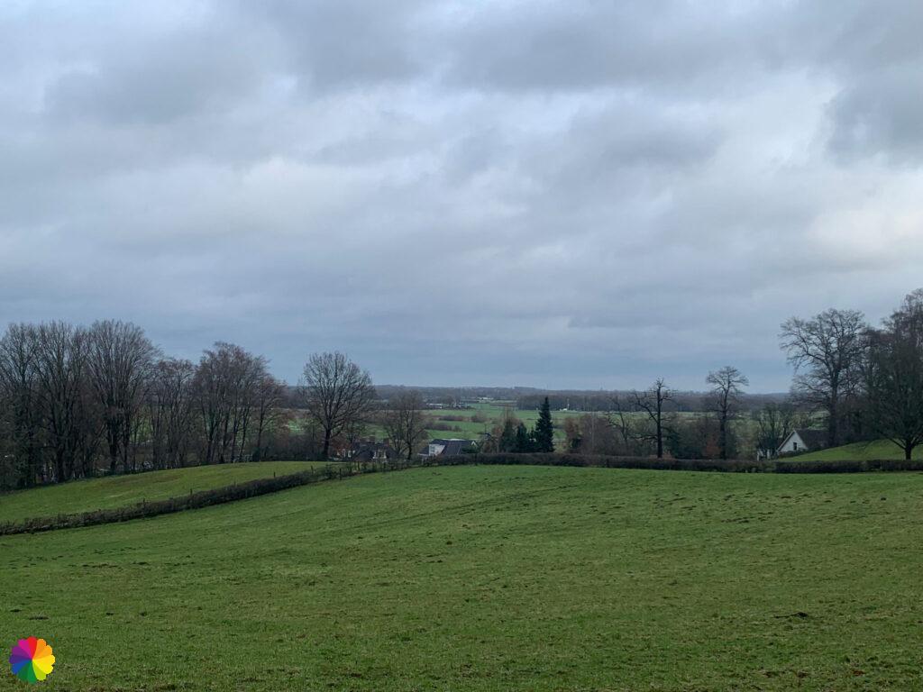
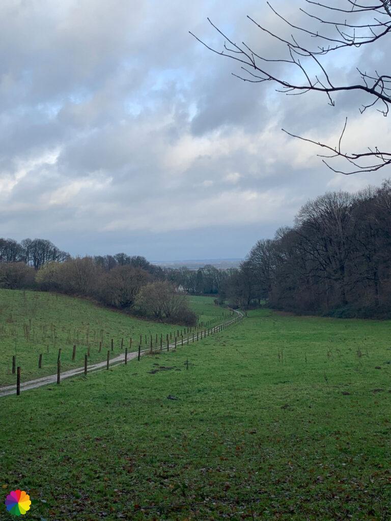
The N70 hiking trail also passes through this area, I occasionally come across markings. This trail has been named one of the most beautiful hikes in the Netherlands. I can agree that it is beautiful here. The path goes down and up again and I walk along the forest edge with rolling, green hills. What a beautiful landscape, I have not seen this before on my hikes.
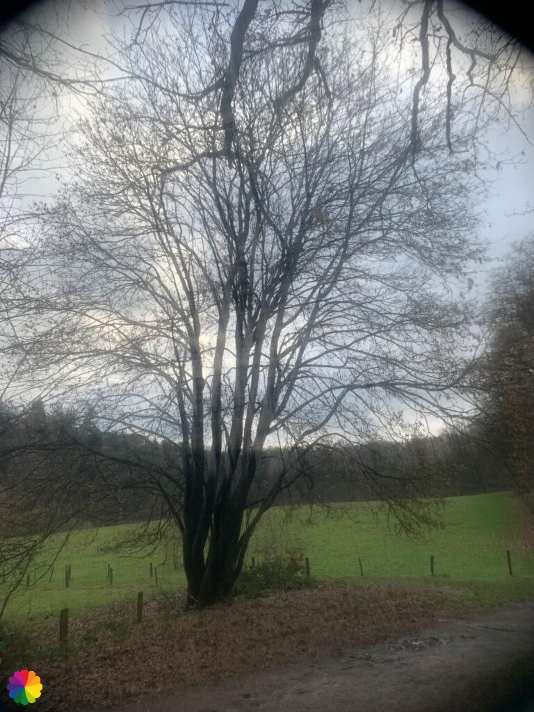
I got special lenses for my mobile camera for Christmas. This is what I am trying out here, for example with a fog filter.
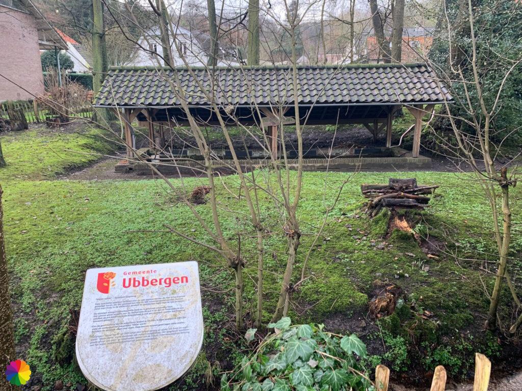
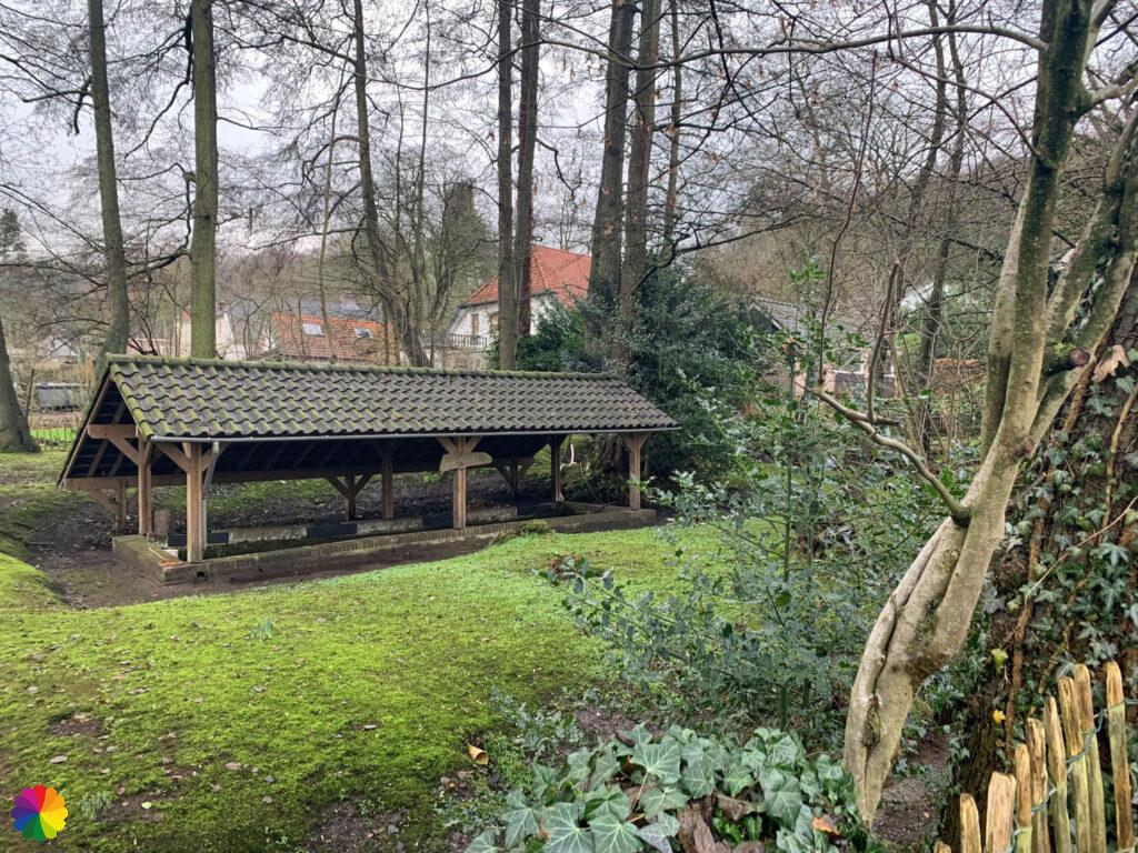
After the green hills of the valley, I reach the village of Beek. I pass a monumental cesspool.
This cesspool was located in the hamlet of Elzen and was still used until 1929, before the sewage system made its appearance. The cesspool was used as a washing place by people from the neighbourhood. The well is fed by pure spring water from the Elzenbeek. In 2002, the well was restored.
Source (in Dutch): Erfgoednet Berg en Dal
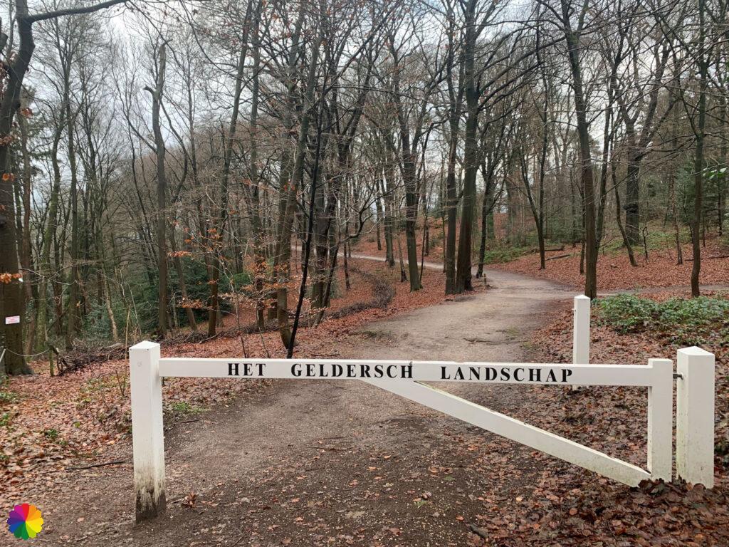
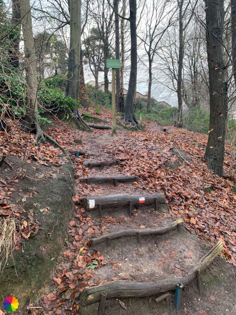
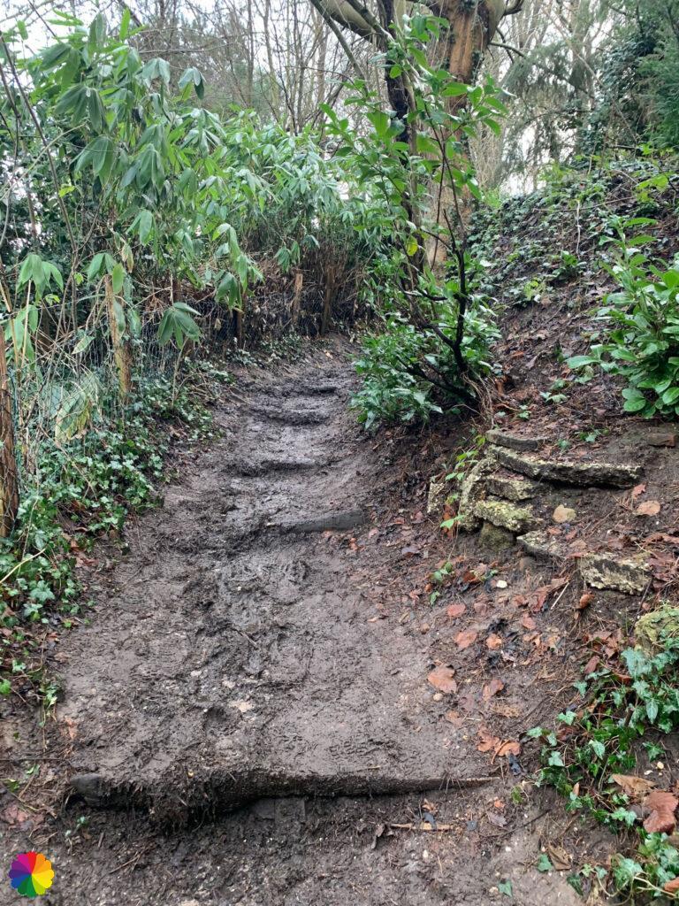
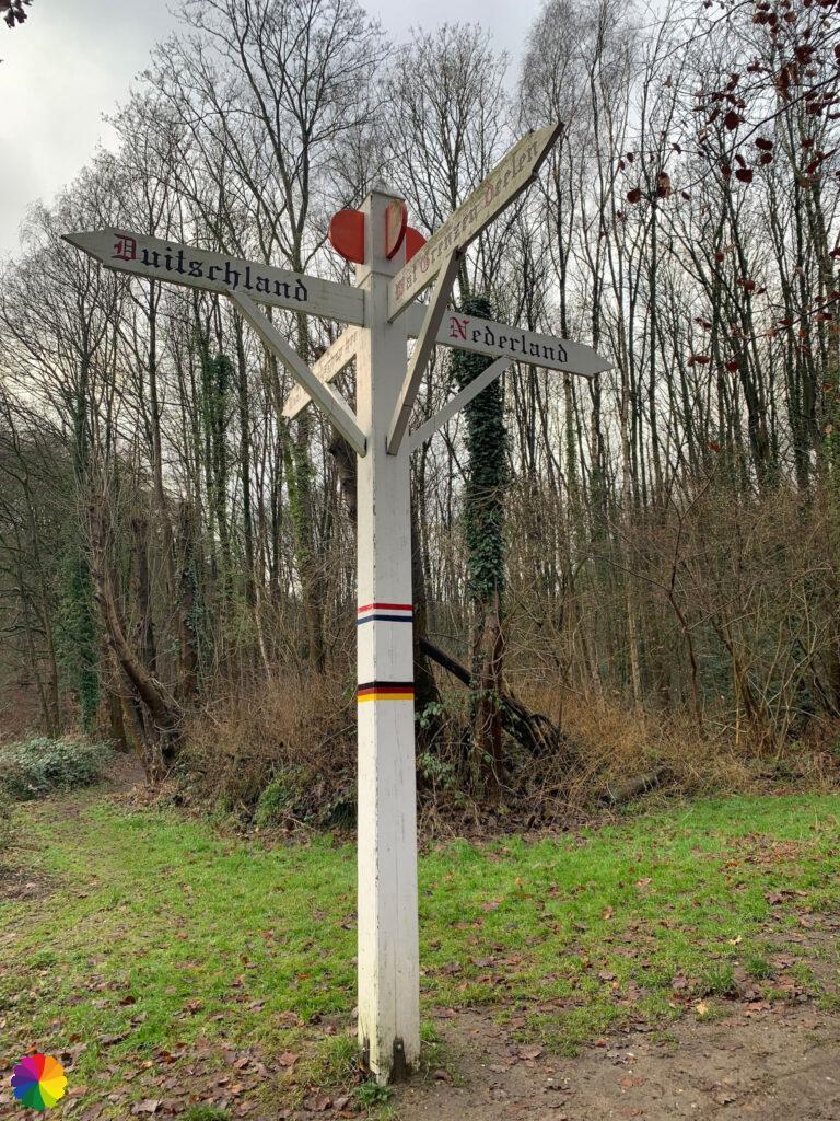
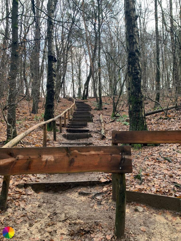
The fun is not over yet. In Beek, I head up the hill via muddy paths and steps. I go higher and higher before going down again. Because of all the going up and down, the hike doesn’t go very fast. The slippery paths don’t help with walking fast either. Arriving in the valley, a familiar signpost is located. I have seen this signpost with Netherlands – Germany on photos before.
Fooled by the Devil’s Mountain
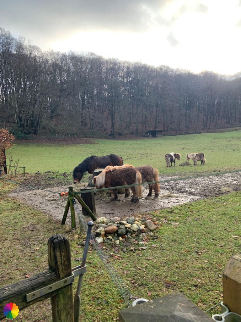
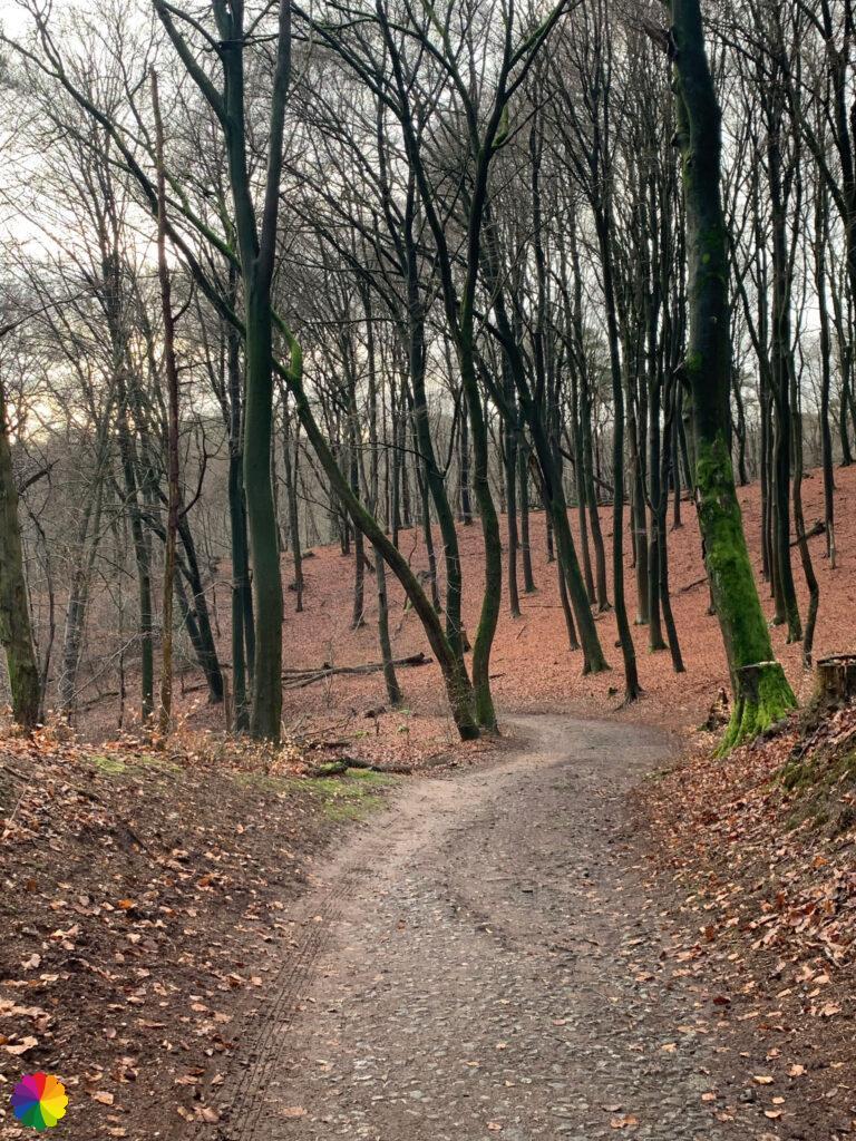
In the valley, I walk past a meadow with ponies. I turn right and climb up a flight of steps. Some runners pass me, running through the mud. On top of the hill, I have a view of the valley I was just at. Again, the path goes up and down. I continue along an ancient cobbled path, I believe also a remainder from Roman times.


I cross a road and go up a flight of steps. This is where the Duivelsberg (Devil’s Mountain), my finish point, should be. At the top, the view is very disappointing. I had understood that it should be a phenomenal view. But looking in the trail booklet, I see that I still have to go a bit to the left. The Devil(‘s Mountain) has fooled me!
At a pancake restaurant, finally, I’m at Devil’s Mountain. It is immediately a lot busier. Here is a point where several hiking trails cross: this one, but also the famous Pieterpad and the regional path through the Region of Nijmegen.
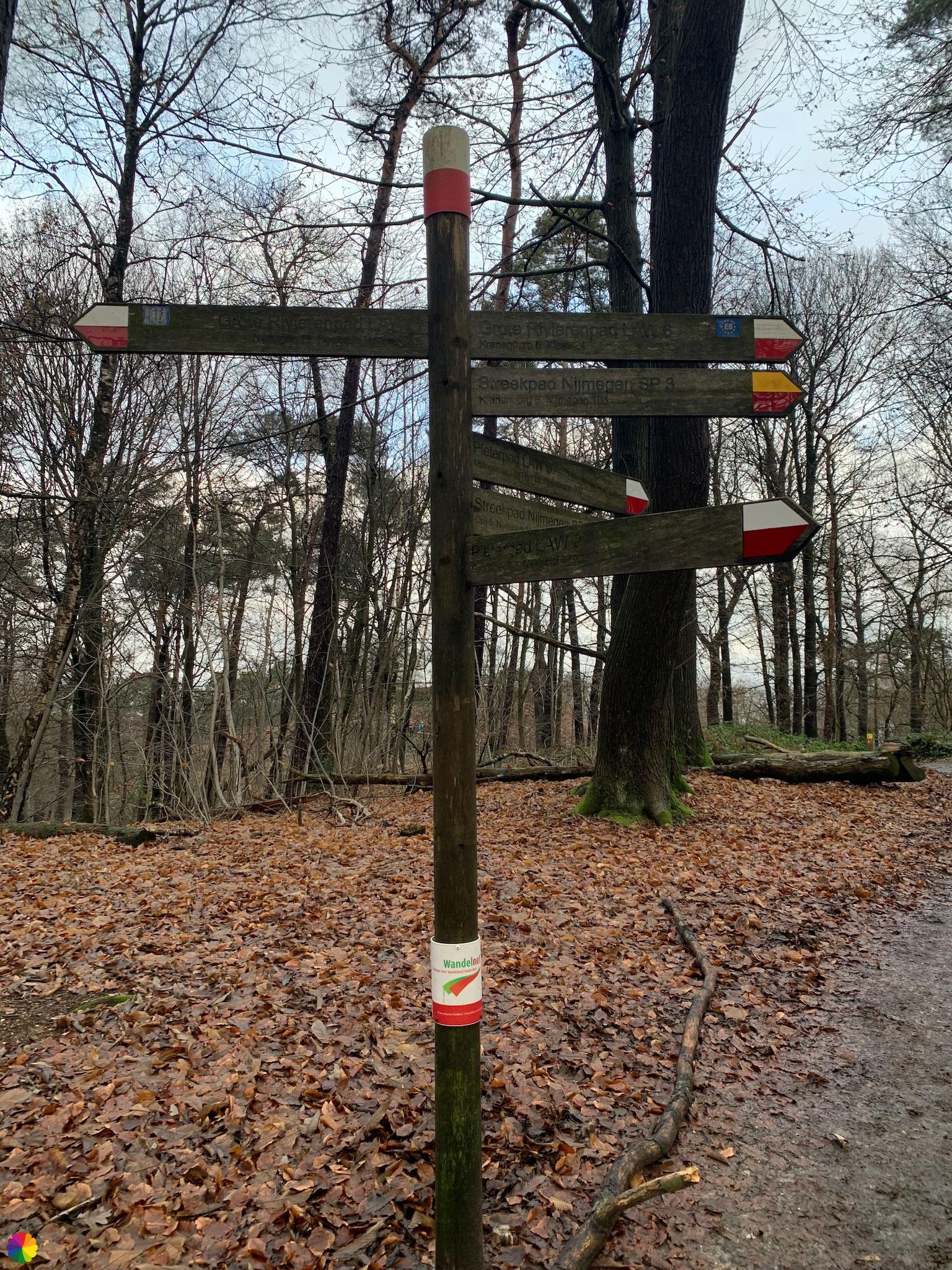
I turn left and head up a hill with rose bushes towards the viewpoint. But even this is not yet the Devil’s Mountain viewpoint. I’m on Fortress Hill, the real viewpoint is a bit further on. Haha, I get pranked every time.
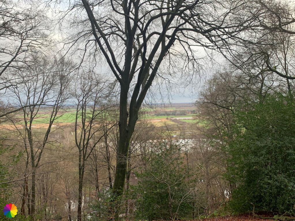
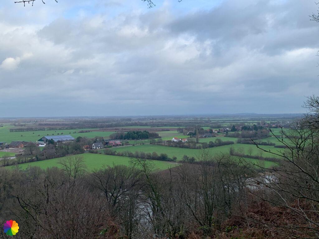
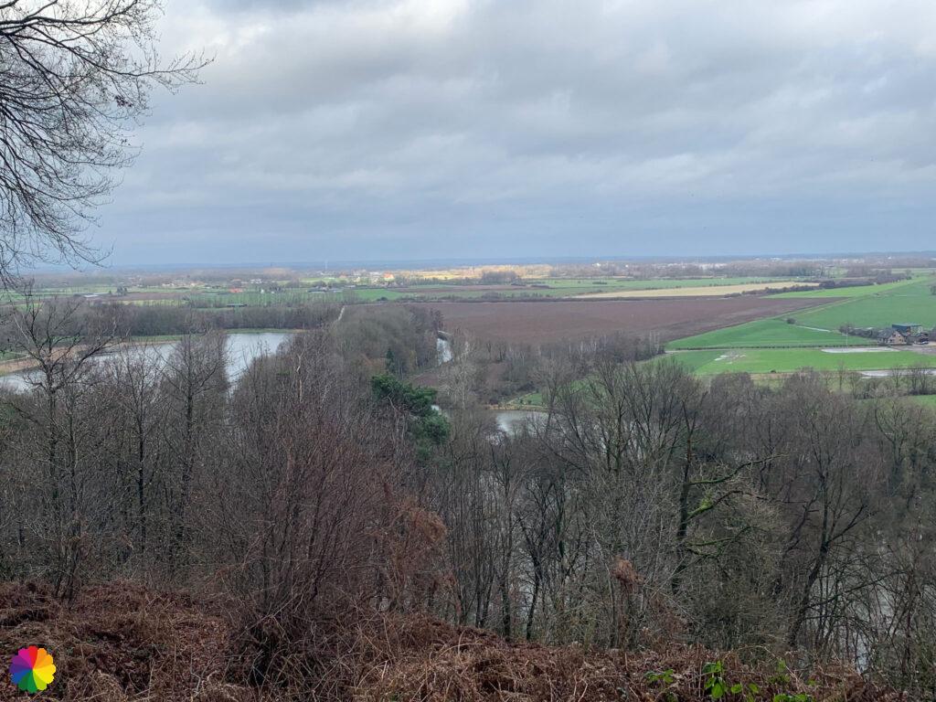
Once on Devil’s Mountain, the view is indeed phenomenal. Far below, I can see the valley with fields in various shades of green and bordered by rows of trees.

The name Devil’s Mountain probably comes from Duffelsberg meaning Duffels hill or mountain. The Duffelt is name of the region between Nijmegen and Kleve in Germany.
Source (in Dutch): Wikipedia
For me, this is the finish line of this trail. I am proud of myself for (almost) completing a long distance trail in the Netherlands. Hopefully many more long distance trails will follow. I still have to go down Devil’s Mountain on the other side, though, in search of the nearest bus stop. At the foot of the ‘mountain’, the Great river trail still turns right into Germany, towards Kleve, the official end point.
Final thoughts
What an amazing hike! I intensely enjoyed the city of Nijmegen and the Berg en Dal region. I was pleasantly surprised by the many height differences in this part of the trail. It is quite different from the flat stages of the rest of this trail. I am very happy to conclude the Great rivers trail with a wonderful hike.
More info:
Trail: Section 14 LAW 6 Great rivers trailWhere: from Nijmegen to Duivelsberg, Gelderland, the Netherlands.
No. of km: +/- 14 km
Hiking date: 30 December 2021
Materials used in illustrations: Coloured pencils for the map and watercolour paints for other illustrations
Rating: ⭐⭐⭐⭐⭐
Pin this hike
Would you like to do this wonderful hike as well? Pin this hike on Pinterest to save for later!

ColourFlux Studio makes use of so-called affiliate links. If you buy a product through the link in an advertisement, ColourFlux Studio receives a small amount. There are no additional costs for the buyer.
Back to Blog.


