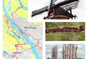
Today, I reach the Rottemeren via the Great rivers trail in the Netherlands. I have mentioned it twice before, but now the time has arrived. I start my hike in Zevenhuizen and walk towards the Rottemeren and the Rotte, then I go through the Hoge and Lage Bergse woods. At my destination in Hillegersberg Rotterdam, I have completed Variants A and B of the Great rivers trail in two circles.
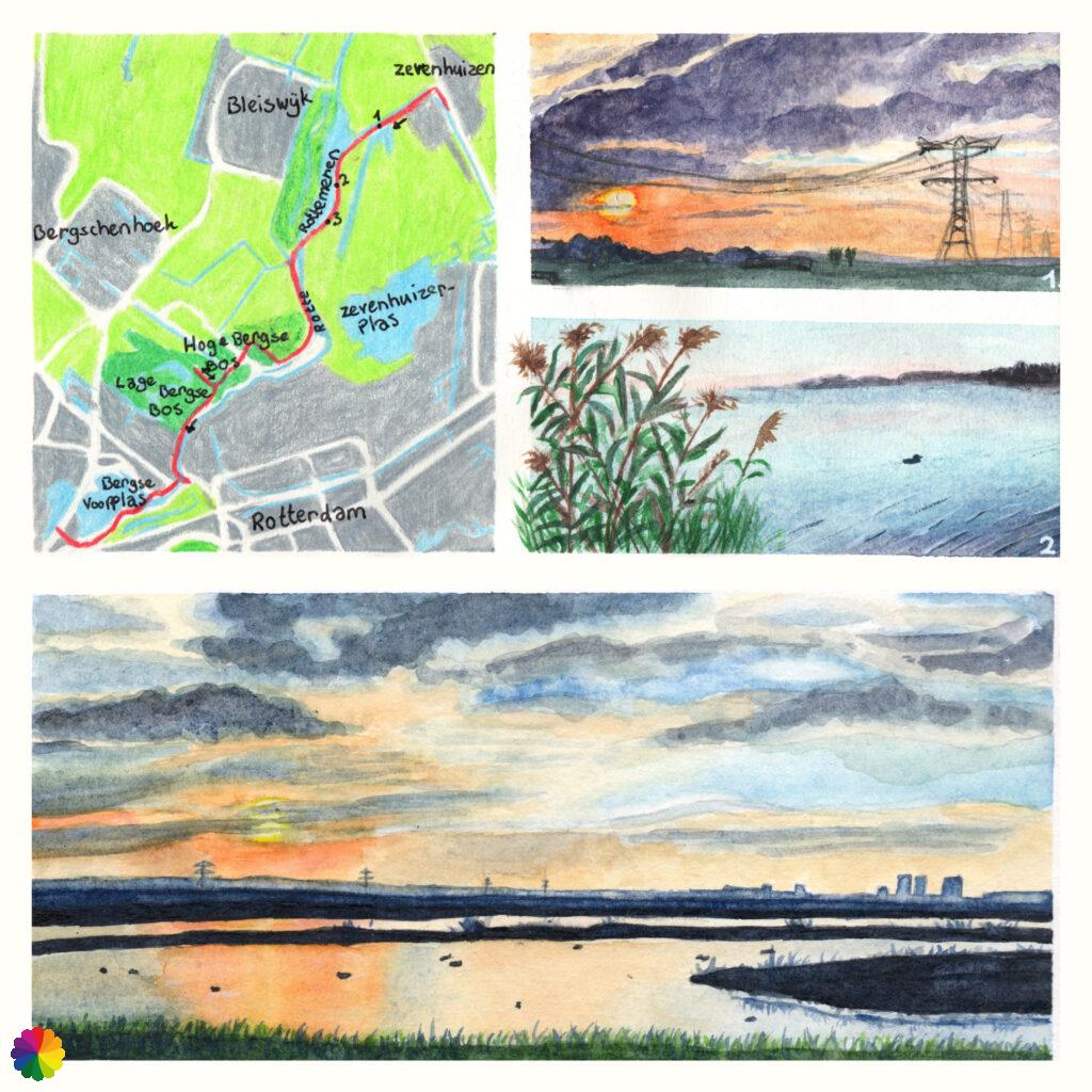
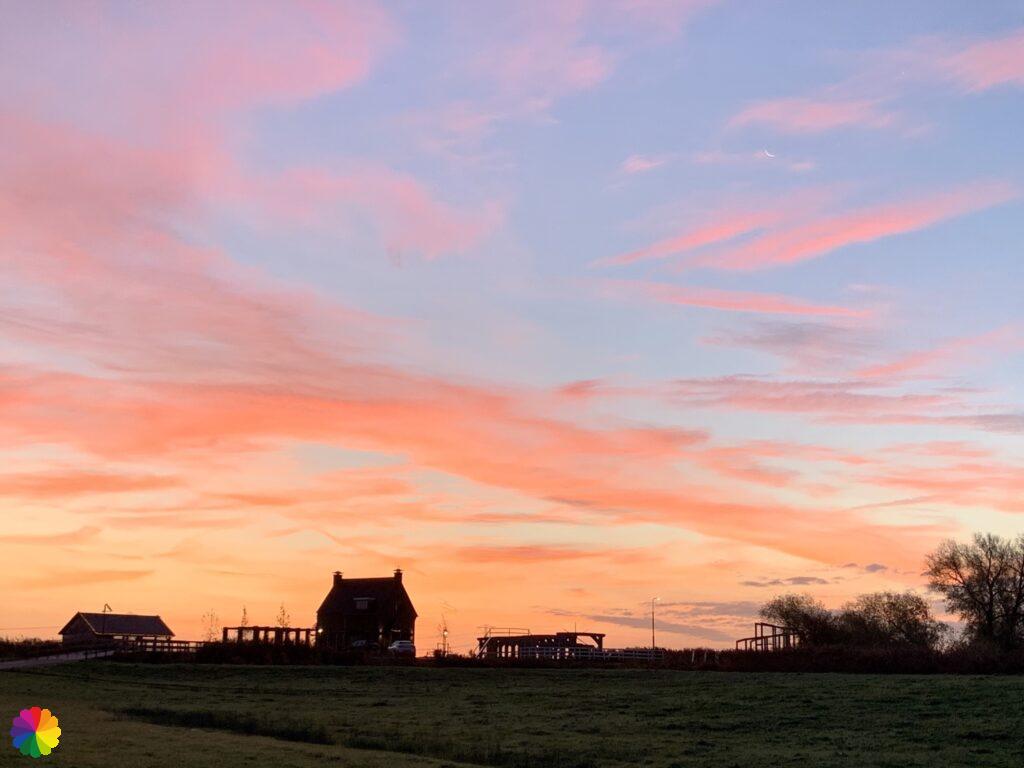
In Zevenhuizen at sunrise
Hiking at sunrise has been very pleasing to me lately, despite the fact that it is sometimes cloudy and the sun is hardly visible (see links to earlier blogs I wrote about it). So I try to be in Zevenhuizen around sunrise. I can see a red glow on the horizon and from the bus it is already beautiful. I am keeping my fingers crossed that I will still be in time. To be sure, I get off the bus one stop earlier. Once in Zevenhuizen, the red glow of the sun is mostly hidden behind the houses. Just my luck. 😂
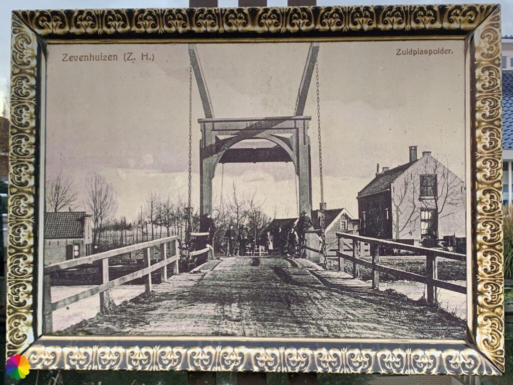
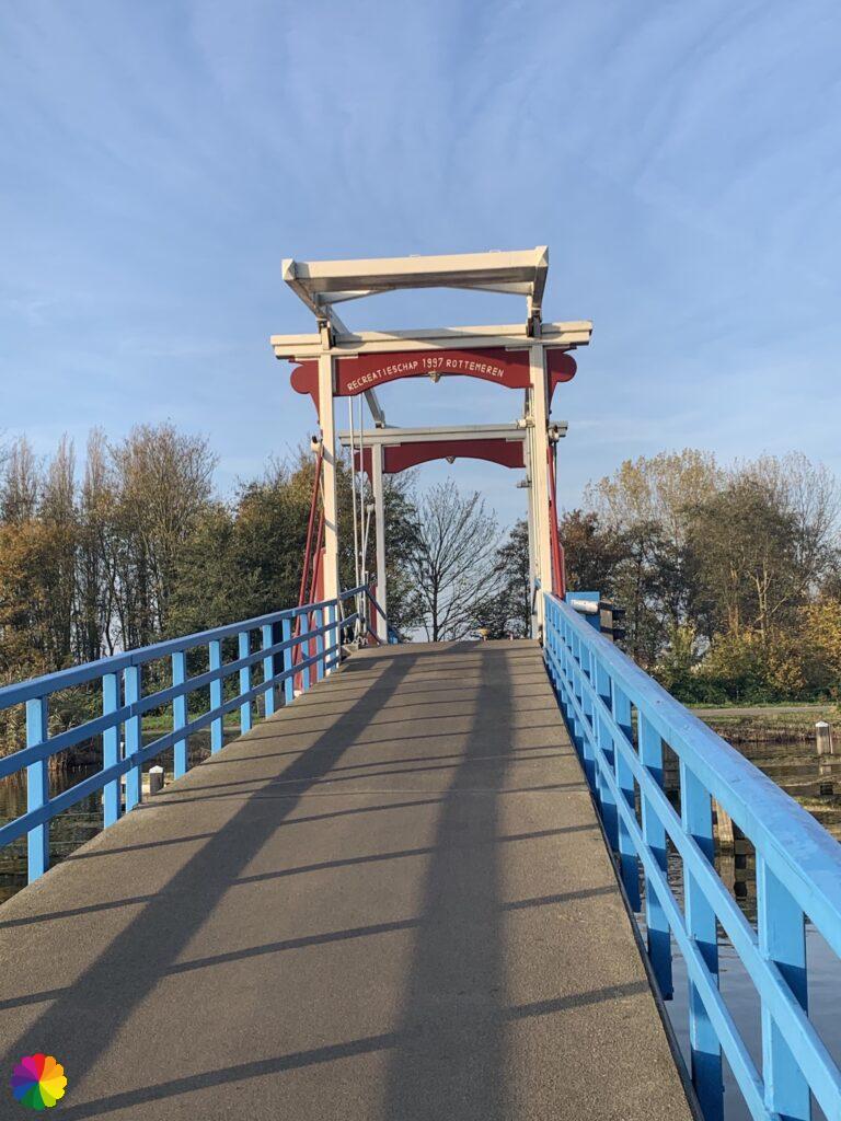
Because I got off the bus one stop earlier, I have to walk to the actual trail first. That is certainly no punishment. First, I cross a drawbridge again. There is also a panel here with a photo of how the bridge used to look like, not changed a bit 😉 !
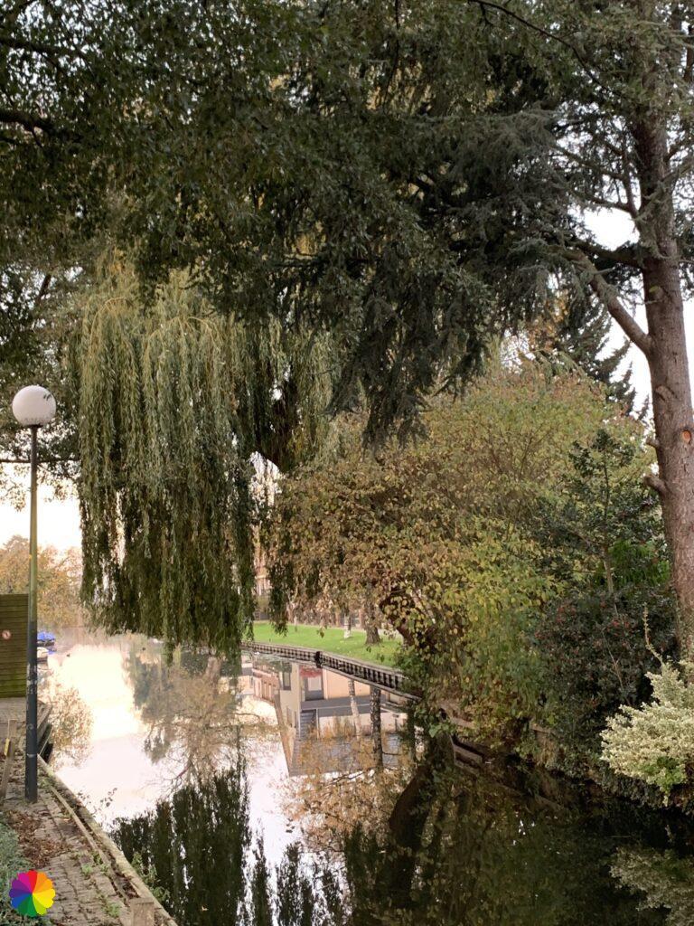
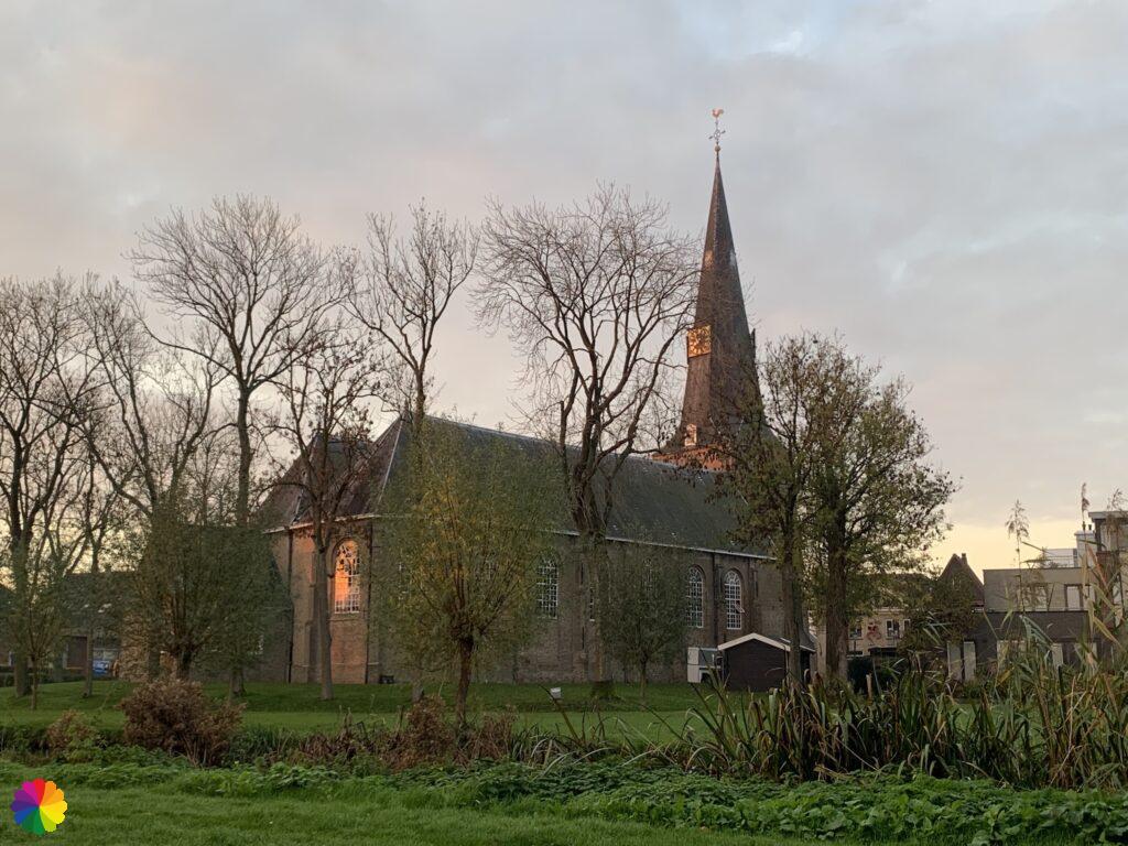
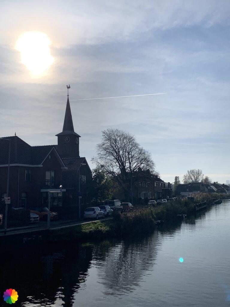
I walk through a beautifully landscaped park along the Ringvaart canal, which I have walked along many times in my previous hike. I have to say that this is the nicest part along this canal. I pass the towns’ church, in the windows the red glow of the sun still reflects a little.
A little further, I turn left and cross the Ringvaart canal one last time. After another left turn, I am in the main street of Zevenhuizen, but now on the other side. Just before the square in the centre where I stopped last time, I turn right. A few minutes later I leave Zevenhuizen behind me.
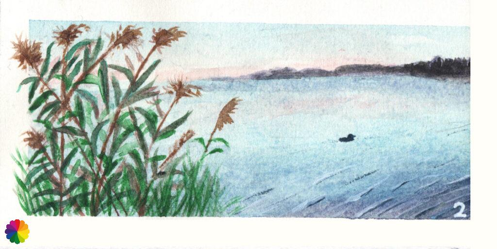
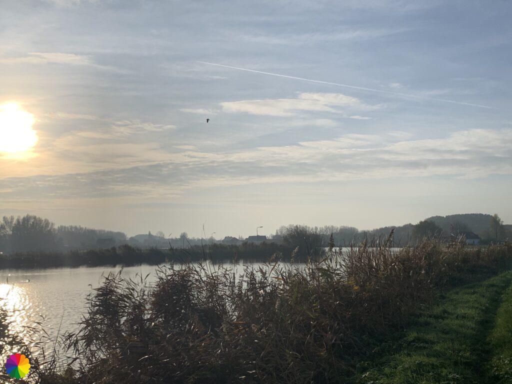
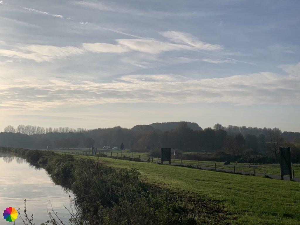
It is only a few kilometres to the Rottemeren from here. I walk along the Hennipsloot for a while. This canal eventually flows into the Rotte near the Korenmolen. Next to the canal is a grassy path and I decide to walk there instead of on the cycle path, but soon I go back. The grassy path is a bit slippery and I walk right along the water. That is not a good combination for clumsy Margrita. On my left, I have a wide view of the polders where the sunrise is now clearly visible. The glow has unfortunately disappeared, but that does not make it any less beautiful. In the distance, I can see the tall residential towers of Nesselande.
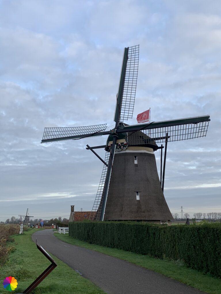
Actually, I was planning to do an extra lap towards the windmill quadrangle in the Tweemanspolder and then return to the route over the path along the Rotte and the Korenmolen. At the Bridge over the Hennipsloot, I have to turn right for this. But I don’t do it, it is still a long way to Hillegersberg and then I will add extra kilometres. When I arrive at the Korenmolen, I see that the path along the Rotte is only open from 10 o’clock and it is only half past 8. A good decision indeed!
The windmill quadrangle consists of four connected mills along the Rotte and served to keep the Tweemanspolder dry. The mills were in use until 1952 and played an important role in the Second World War by draining the inundated polder. Along this part of the Rotte, there are several information panels about the events in the Tweemanspolder during the war.
Source (in Dutch): Ook dit is de Rotte
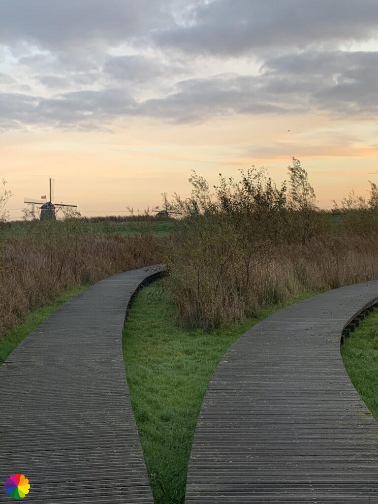
A week later, I went back to see the mill quadrangle. Not via the same trail: I first got off the bus at Bleiswijk and walked via the Bleiswijkse Fles – with the most beautiful sunrise ever and a boardwalk path(!) – to the crossing over the Rotte near the A12 motorway. Then, on the other side of the Rotte, I saw the four windmills in a row. I am not going to write a blog about this, but I want to share some photos (see gallery below).


Rottemeren
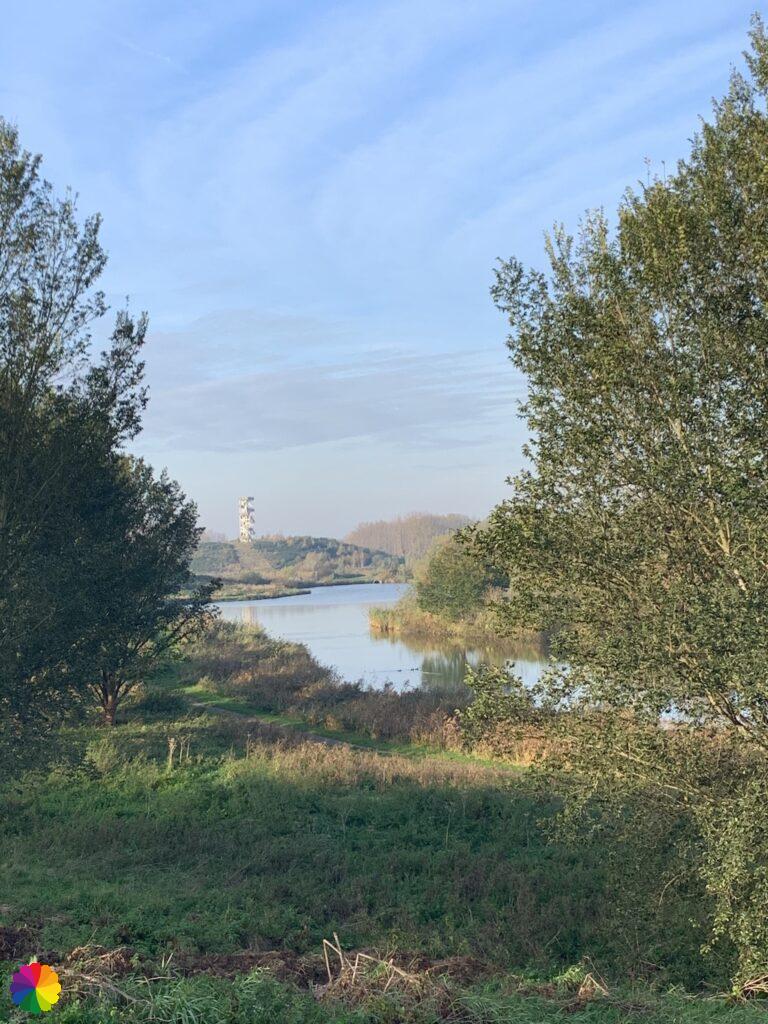
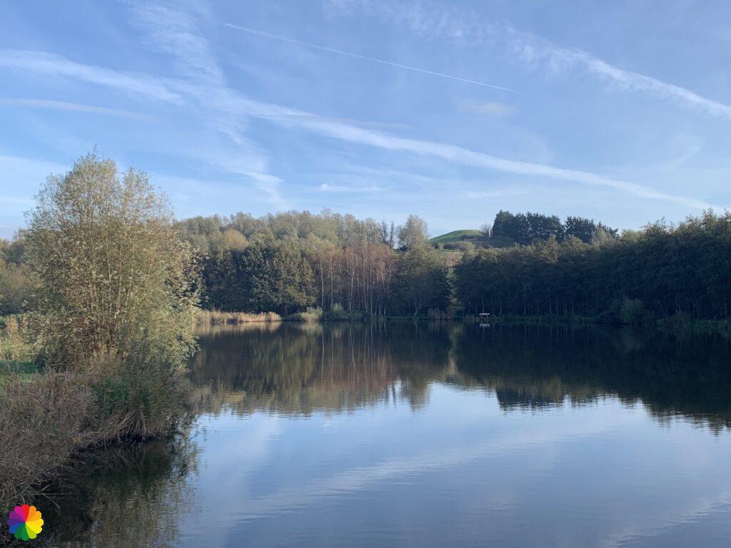
The Rottemeren are two lakes in the Rotte river near Bleiswijk and Bergschenhoek. A large recreation area has been created around the Rottemeren and extends between Bergschenhoek, Bleiswijk, Zevenhuizen and the districts of Hilligersberg, Ommoord and Nesselande in Rotterdam.
The area consists of:
- Hoge Bergse woods
- Lage Bergse woods
- Bleiswijkse Zoom
- Bleiswijkse Fles
- Nessebos
- Zevenhuizerplas
- Eendragtspolder
- Zevenhuizer Zoom
Of course, there are also plenty of hiking and cycling paths in each of the above areas. On the websites of Ook dit is de Rotte and Staatsbosbeheer you will find various hiking and cycling trails (see links in the source).
Source (in Dutch): Ook dit is de Rotte and Staatsbosbeheer
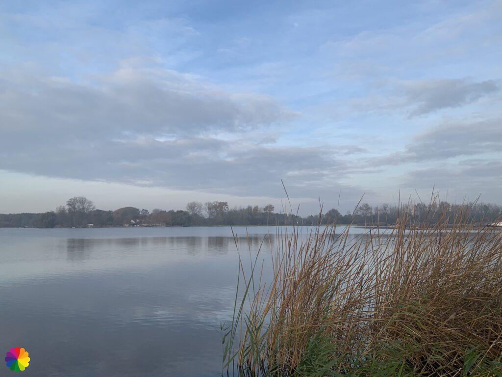
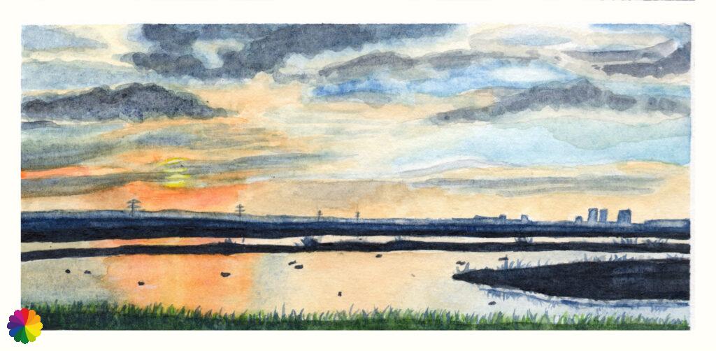
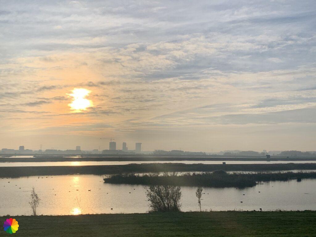
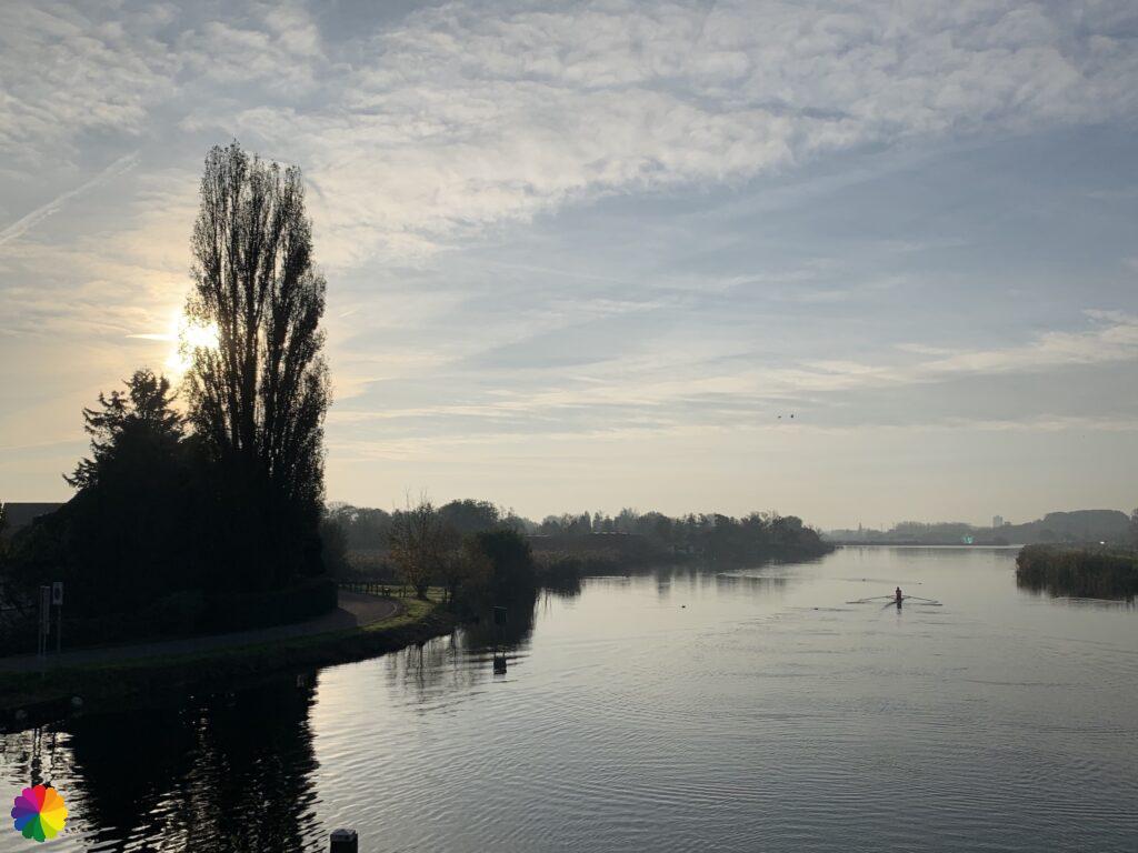
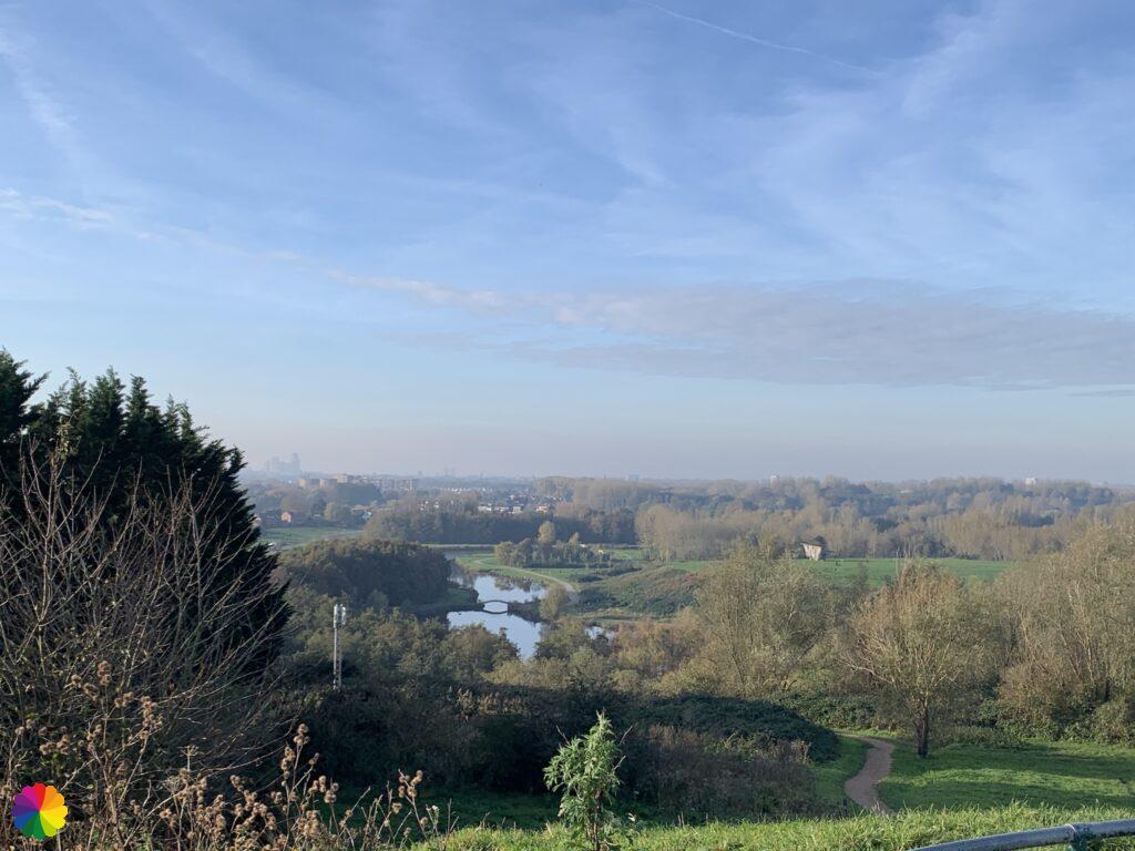
At the Korenmolen (flourmill), I finally have a nice view of the Rottemeren.
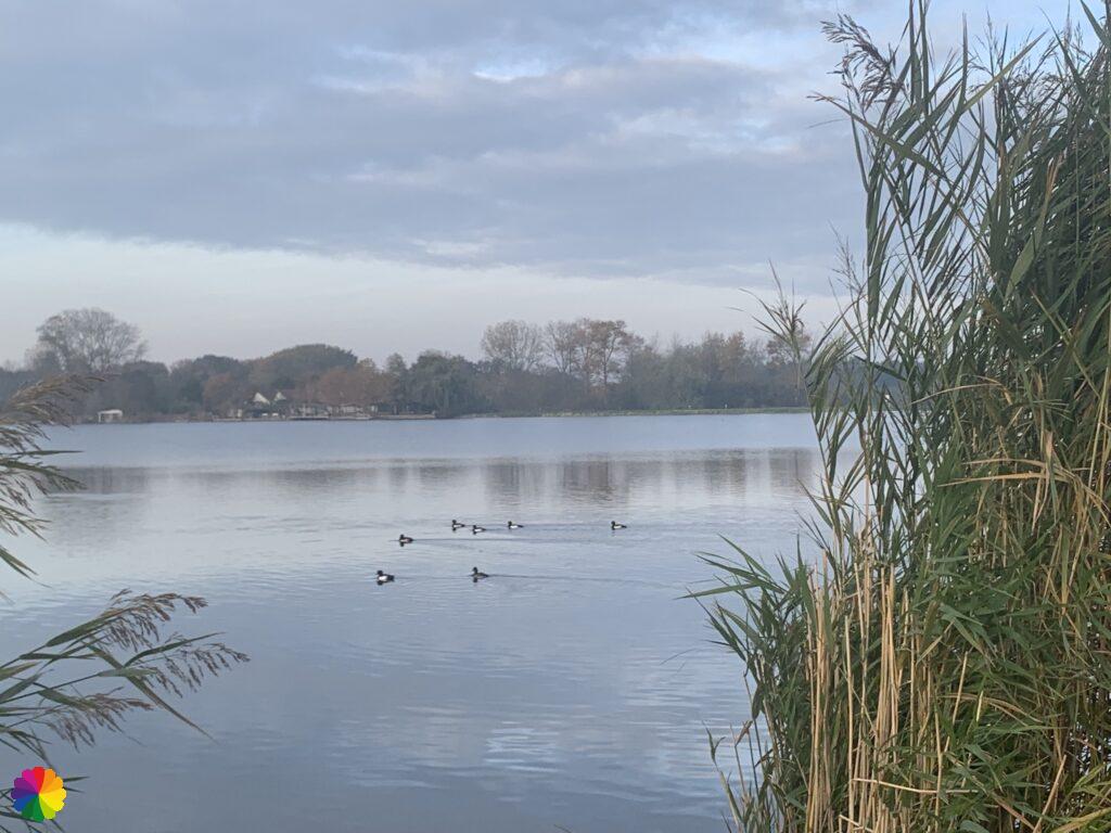
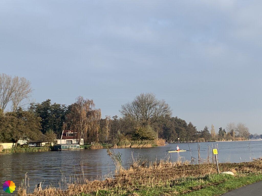
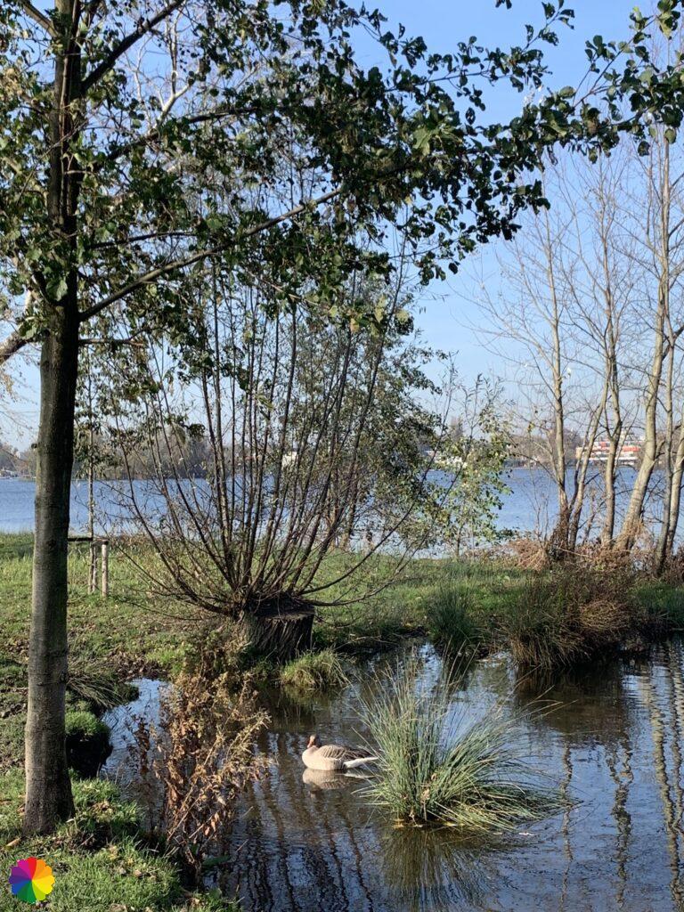
Behind me, the sun has risen a little higher above the Willem Alexanderbaan. This is a rowing course in an oval with a perfectly straight road running through it. Around the rowing course, ponds with small islands have been created, where many water birds find their rest. Over the footpath on the Rottekade, a wooden staircase with a platform has been built, so that you have a slightly higher view of the rowing course and the Rottemeren.
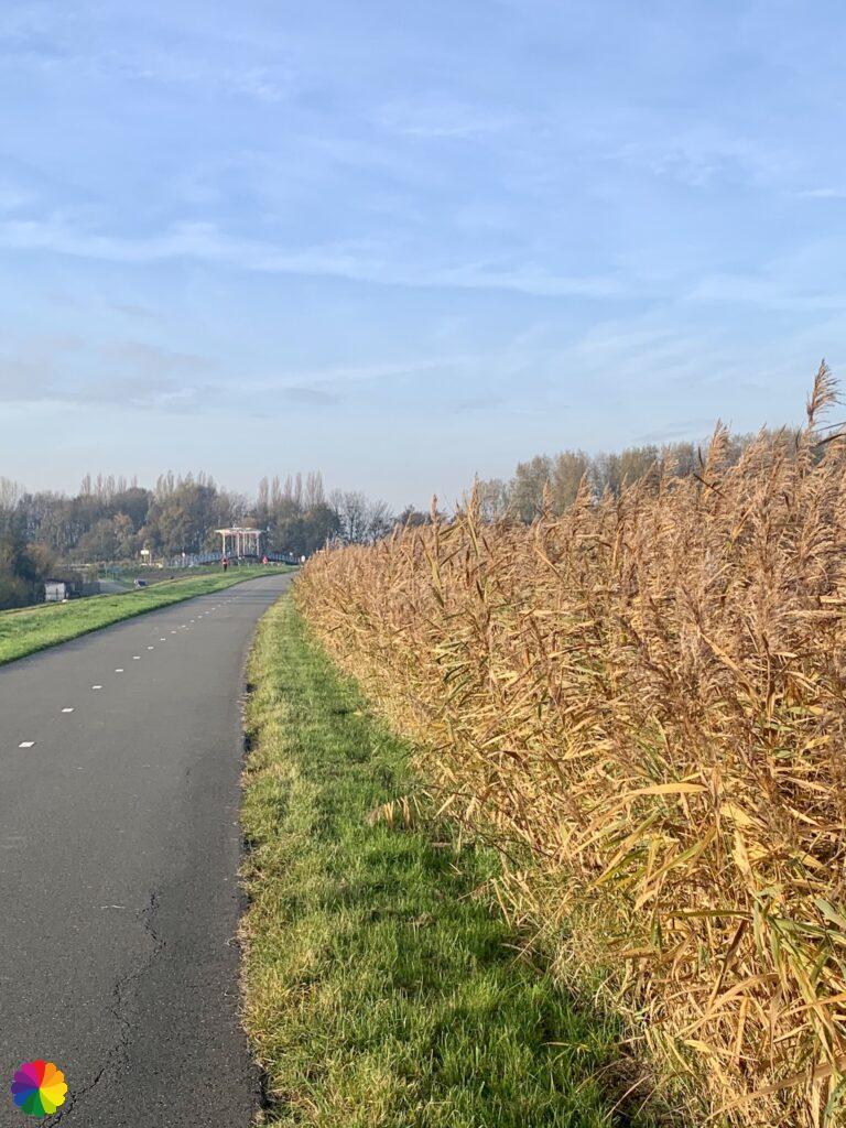
After a short break on the wooden stairs, I continue along the Rottekade along golden-yellow reeds. Further on, the Pekhuisbrug comes into view. As I cross the bridge, a rower passes underneath. Rowing on the Rotte is much more fun than rowing in circles on such a dull rowing course!


On the other side of the bridge, I am standing on the edge of the Bleiswijkse Zoom on my right. However, I do not go that way, my trail goes to the left. First, a bit along the Rotte and a little later I arrive at the Hoge Bergse woods.

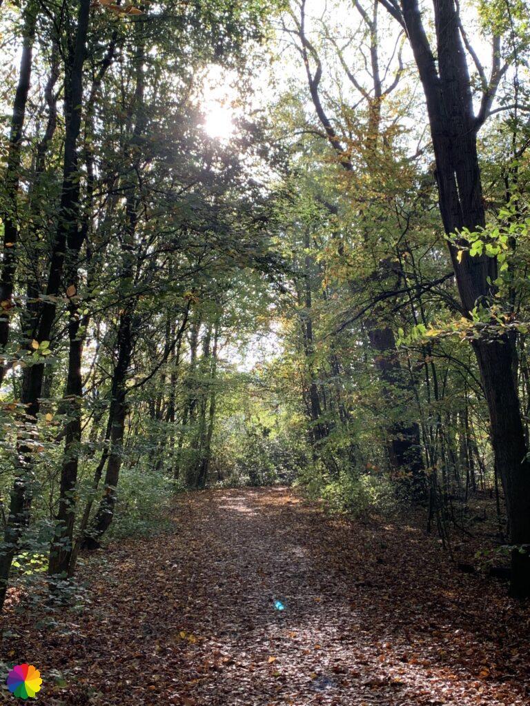
Hoge Bergse woods
At the edge of the Hoge Bergse woods is a footpath through the so-called Wiebertjes. This is landscape art in which the patch of nature has a geometric design in the form of ‘Wiebertjes’, the diamond-shaped candies. From above, the diamonds can be clearly seen. My trail does not go through here, so I quickly go on.
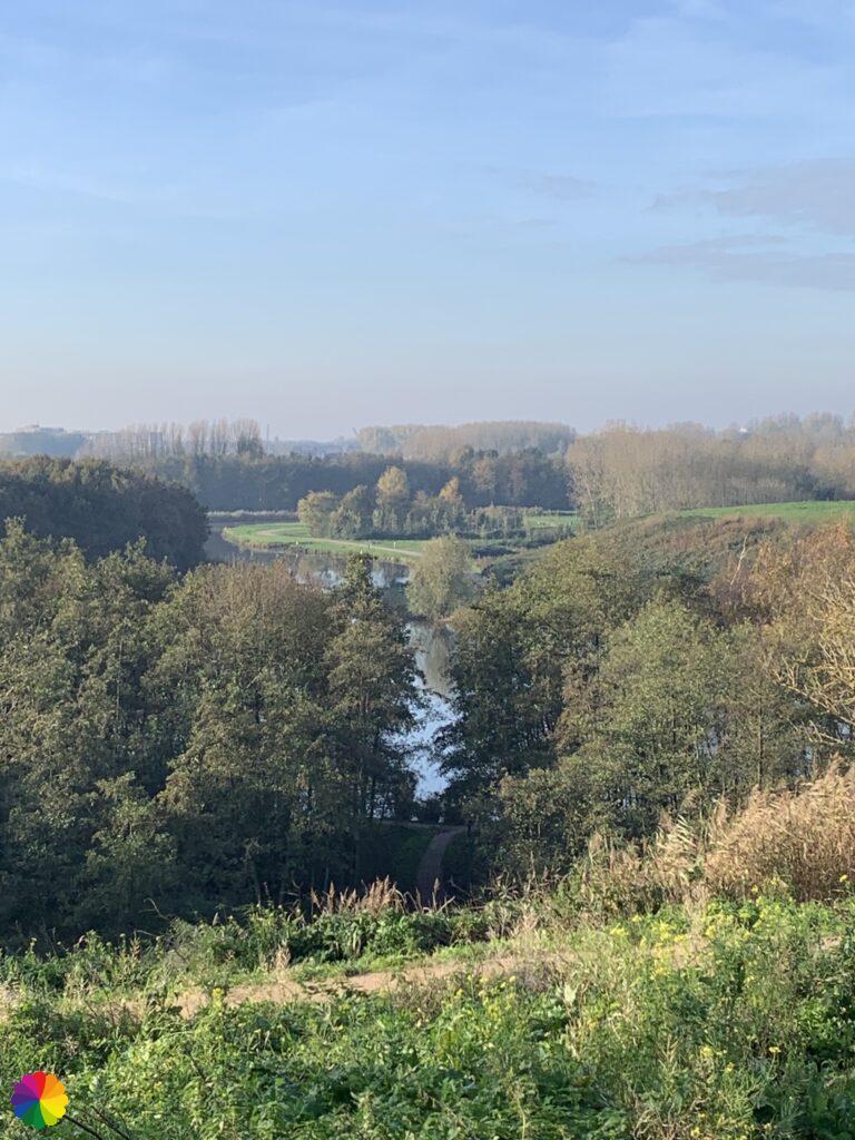
I walk along winding paths, past small lakes and over white bridges. The Hoge Bergse woods did not appeal to me, because it is mainly oriented to outdoor sports, such as climbing on a climbing wall, mountain biking, canoeing and even skiing (there is a ski slope). But it is also a good place for the hiker. Much nicer than the Lage Bergse Bos it turns out later.
Other trail guide about the same region
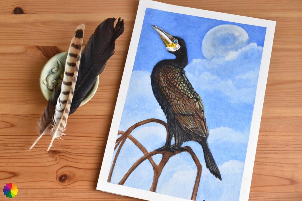
High up in a treetop I see a cormorant looking out over the woods, behind him the outline of the moon can be seen. This was an inspiration for an illustration I made. The original illustration and greeting cards of the cormorant with moon are for sale in my Webshop.


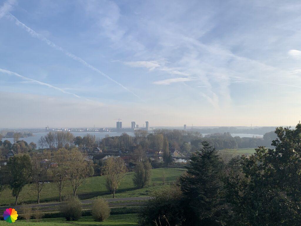
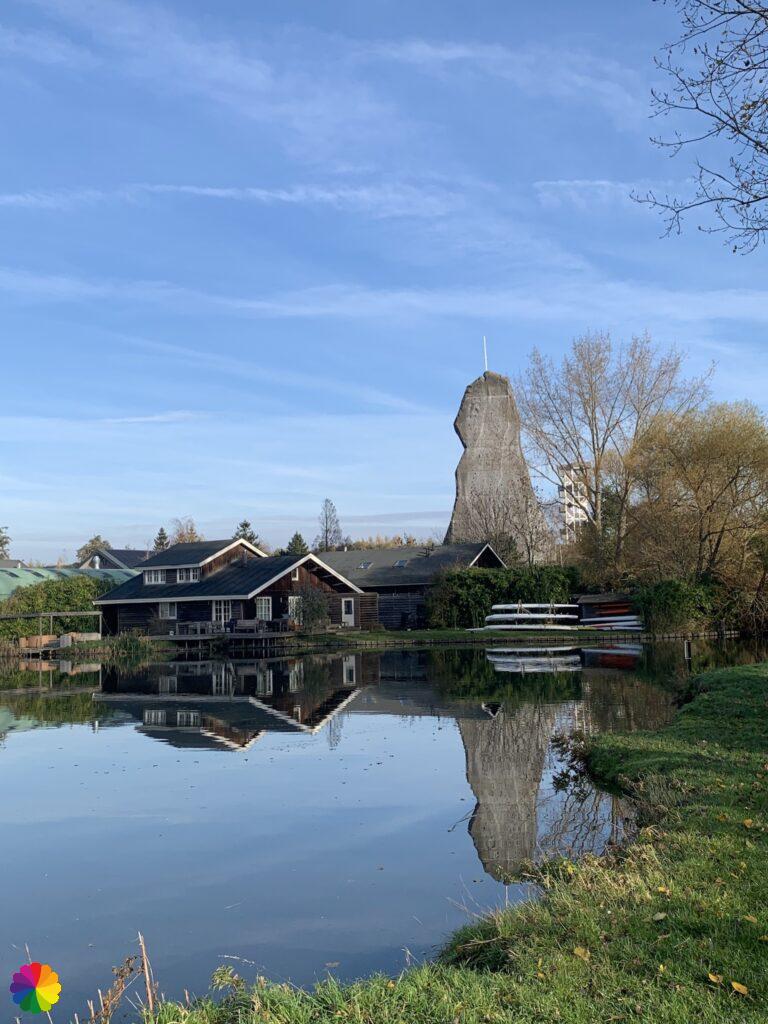
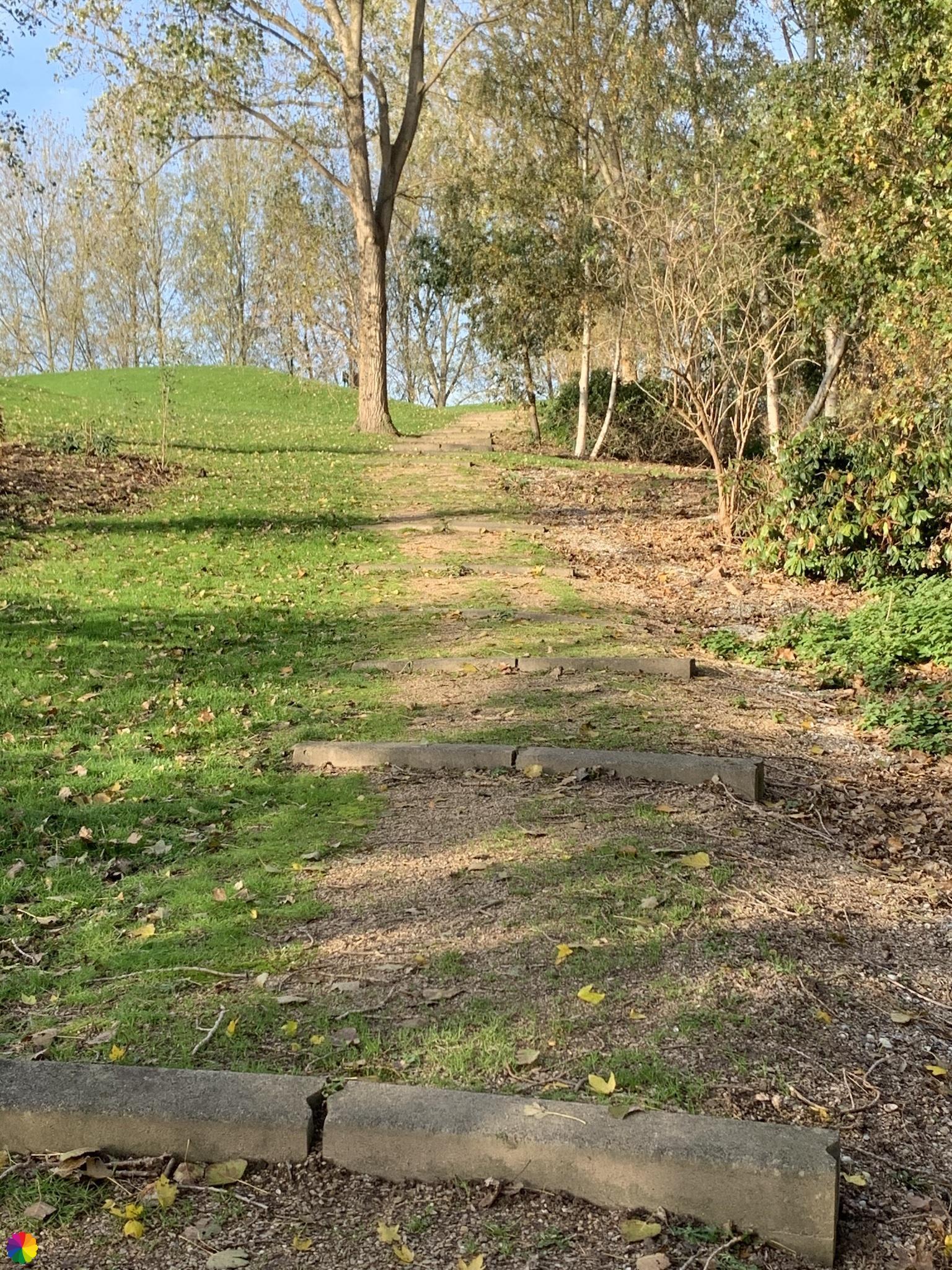
In the Hoge Bergse woods, I even have to climb a bit, not on the climbing wall that can be seen in the distance, but on an artificial mountain hill. The Hoge Bergse woods is in fact built on demolition and construction waste, like more recreational areas in the Netherlands. This waste hill is also the highest point of the Hoge Bergse woods. I have a beautiful view over the whole Rottemeren area and the skyline of Rotterdam.

On the other side of the hill, it is quite steep, so I have to watch where I walk. By constantly looking at the ground, I also lost the trail marks for a moment, but I know which way to go and a little later, at the parking lot, I have picked up the trail again.
Getting lost on the golf course
The trail now partly leads over a golf course between the Hoge and Lage Bergse woods. I walk on gravel paths along the various holes. The golfers say hello to me. Halfway at the parking lot, I again fail to see any markings. My gut tells me to get out at the main exit, but my head says that if there are no markings I should keep going straight ahead. I can surely get off the golf course on the other side. When I get closer to the edge of the golf course, I see that there is no passage there. Let’s go back again.
Back at the parking lot, I decide to turn left towards Bergweg of Bergschenhoek. That is not part of the trail at all, but I want to get off this golf course as quickly as possible. The golfers now look at me as if I do not belong here. And that is true, with my backpack, water bottle and hiking shoes. After a few winding paths along even more holes, I can see the public road, but there is a ditch in between. I consider jumping over the ditch, but decide not to. I might get arrested for sneaking through the bushes. So I go back to the parking lot and follow my first instincts. Just outside the main exit, I see the markings again… Another few extra unnecessary kilometres 🤦🏻♀️😅.


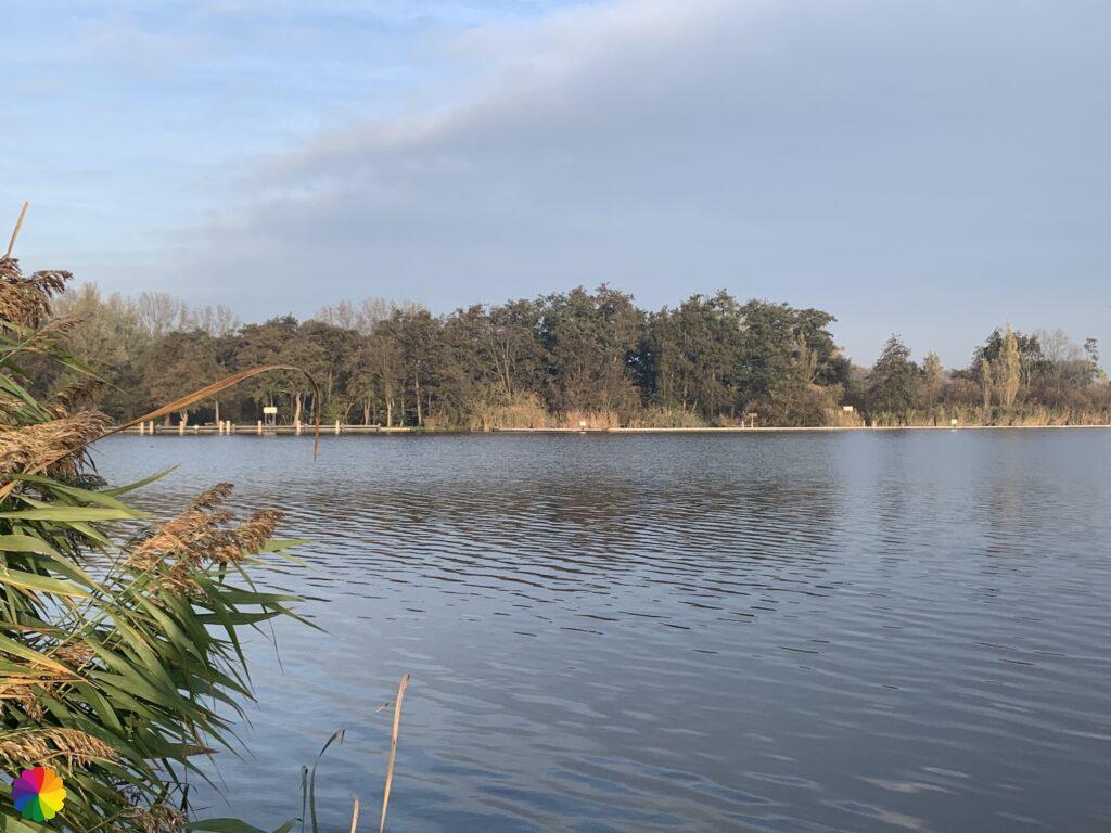
Lage Bergse woods
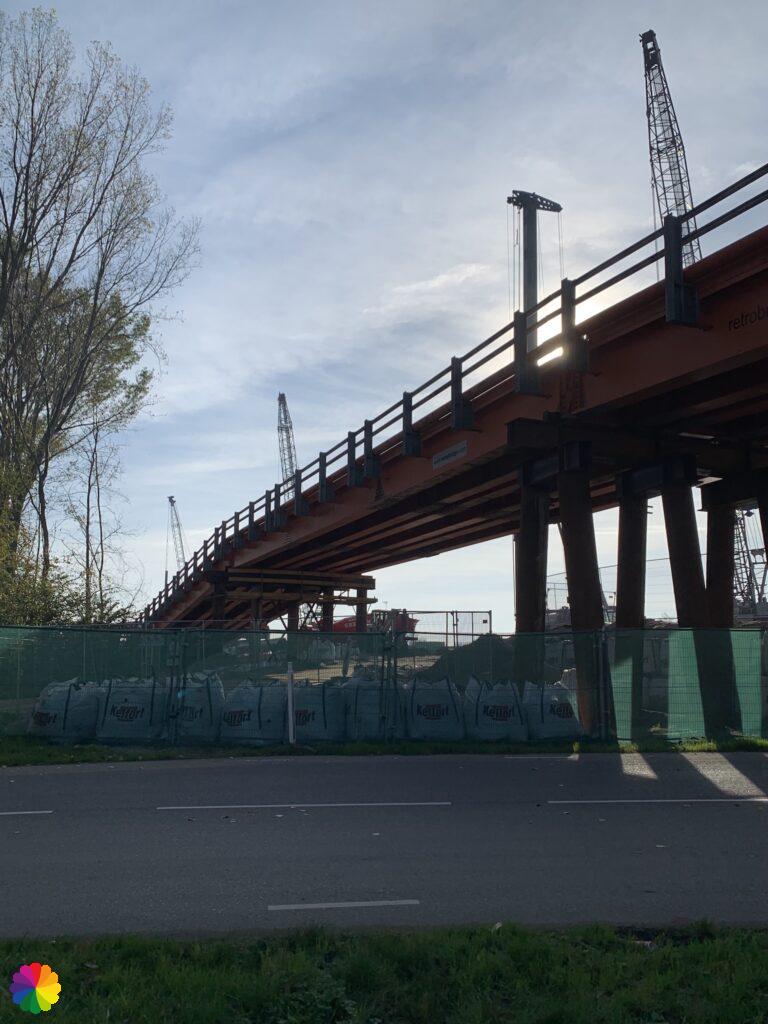
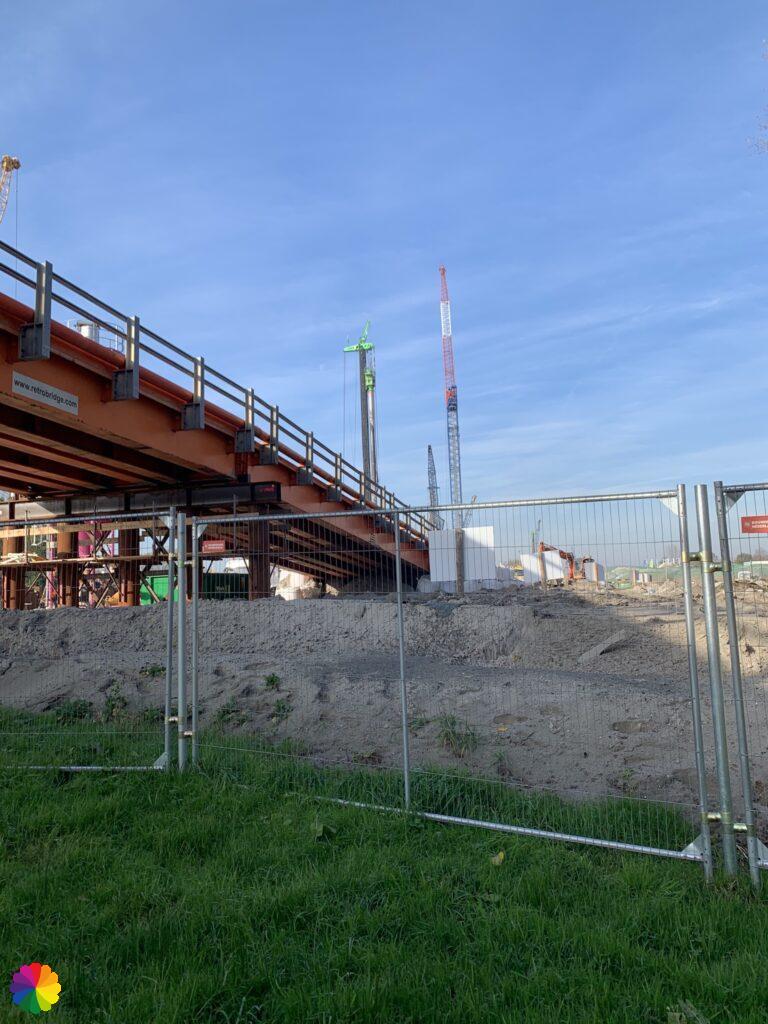
In the Lage Bergse woods, it is difficult to find the markings again. This is not my own fault, but because part of the Lage Bergse woods has been swept away for the construction of a tunnel. This tunnel and the new A16 motorway are a faster connection between the A13 and A20 motorways.
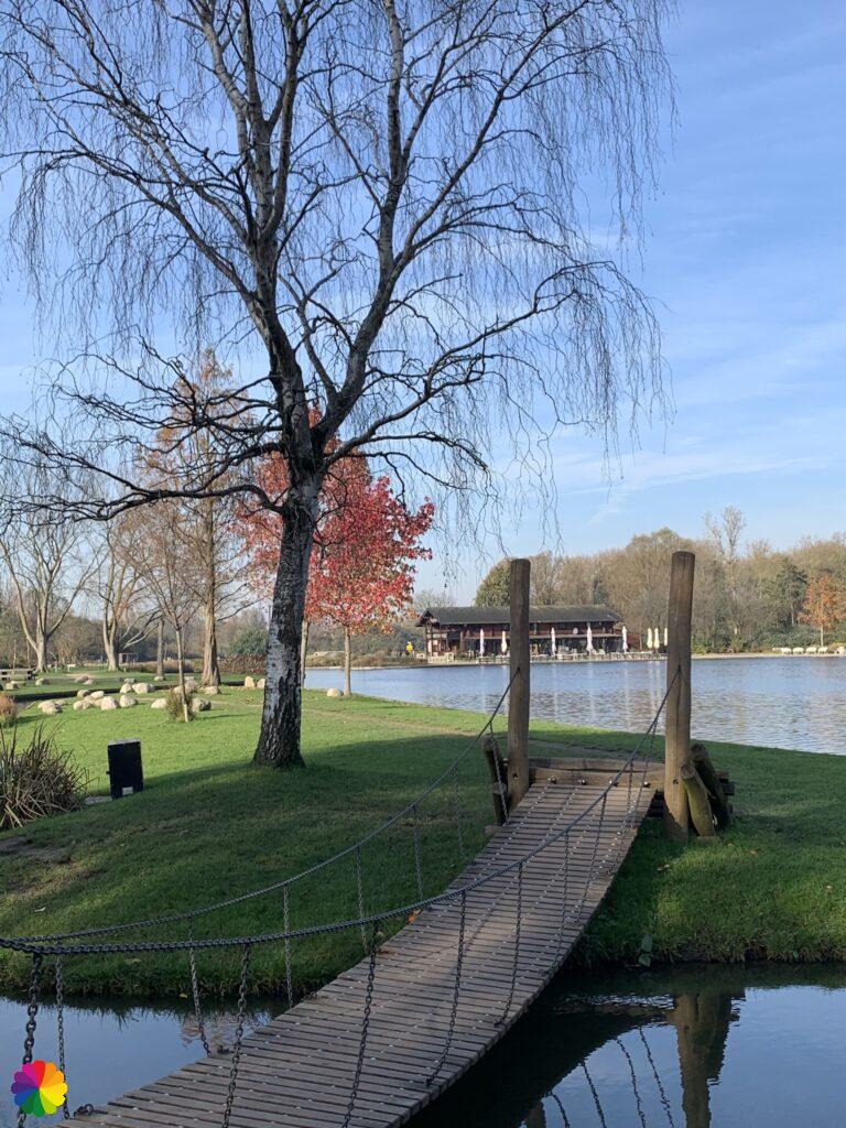
First, I walk along the Bergse Plas with its nice footpaths and suspension bridge. It has an oriental feel to it.
Soon I arrive at the fences of the construction site. I have to go back a bit on the Rottebandreef and then further on the Rottekade under a temporary bridge. This is where they are actually working on the tunnel. I knew that I would come across the construction site on this hike. It is a really strange surprise when you expect to find a nice recreational forest, but then have to go through a huge construction site to get to the forest first.
But not to worry, after the construction of the tunnel the Lage Bergse woods will be redesigned with a green tunnel roof. Since the tunnel will be finished in 2022, it will take a few years for the forest to build up and grow. More information can be found on a16rotterdam.nl (in Dutch).
Terbregge and Hillegersberg, Rotterdam
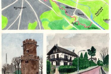
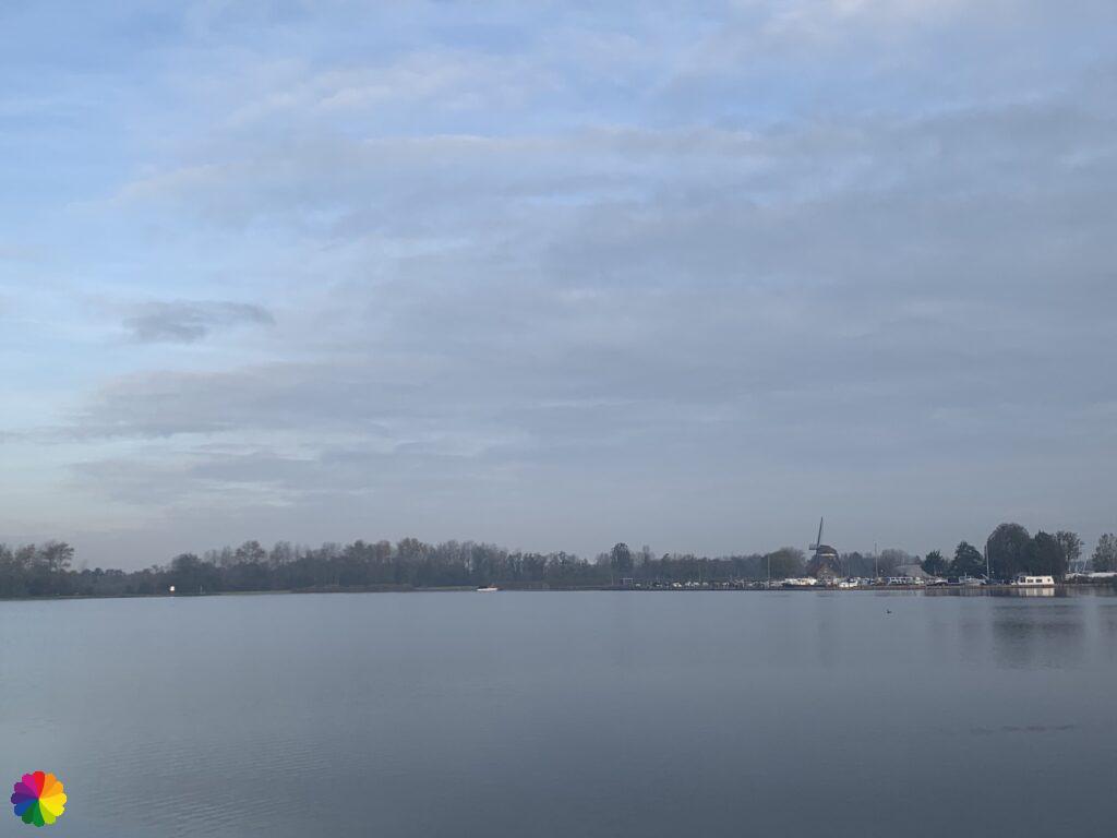
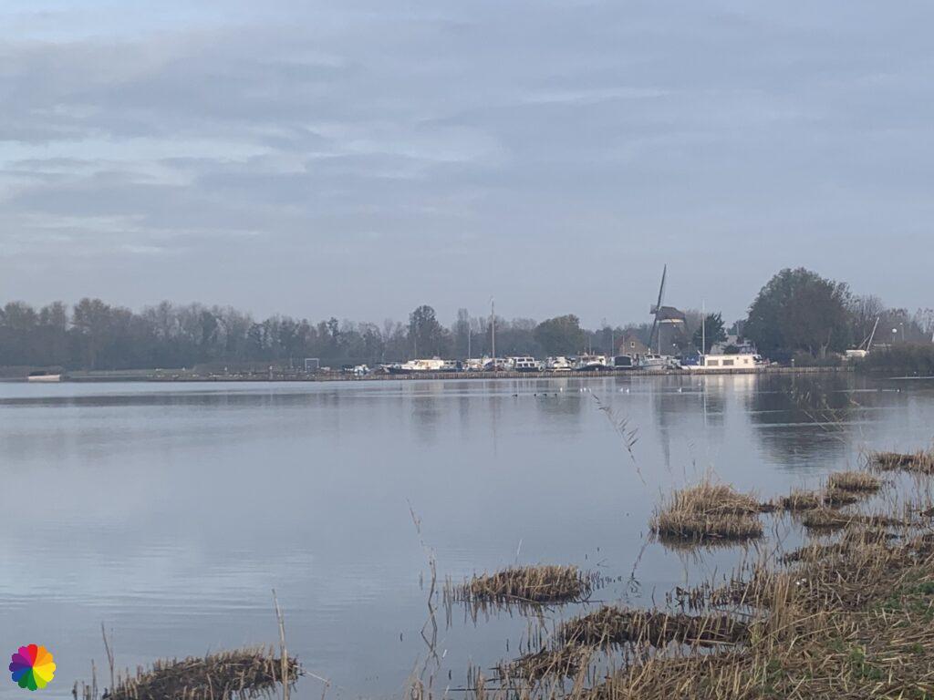
Fortunately, the construction site is of only brief duration and I soon find myself in the Molenpark in the Hillegersberg district of Rotterdam. At the Molenlaan I cross the Molen bridge to take a quick photo of the little church at Terbregge. In my second blog I wrote that I wanted to hike from Schiedam to Terbregge. I did not quite finish this hike, I stopped at the Kleiweg in Rotterdam. Now I have finally arrived at Terbregge via a complete detour. Of course, I have to photograph this milestone. Terbregge itself is not very interesting. A few streets and a church, that’s all it is. Way worth it to go all this way for 😂.
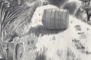
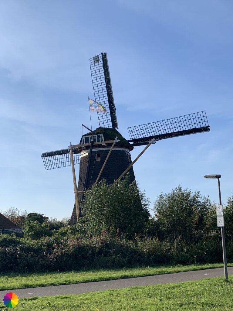
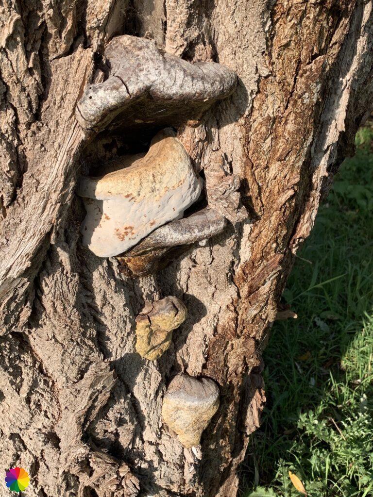
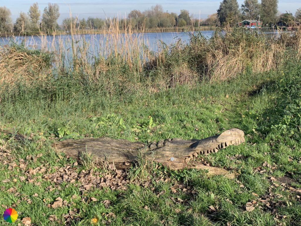
The last part of the trail goes through the Molenpark for a while. I pass windmill De Vier Winden (The four winds), which I suspect the Molenlaan, -bridge and -park owe their name to. Further on, another mill can be seen, the Prinsenmolen. The next park I walk through is called the Prinsenpark. This park is a long strip of green between the Rotte and the Bergse Voorplas. On the way, I come across a large mushroom on a tree trunk (a real tinder fungus) and another tree trunk in the shape of a crocodile.


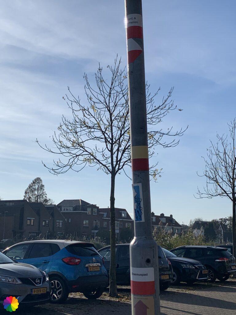
A few hundred metres more and I will have completed my hike at the point where the Erasmus trail begins, as can be seen by the markings on the lamppost. At this point, in about half a year, I have hiked in two circles straight through and all around Rotterdam. I have now completed a fair bit of the Great rivers trail, both variant A and variant B, and a part of the original trail. I am pleasantly surprised with all the nice hiking possibilities close to where I live. Next time, I’ll continue with the original Great rivers trail and I’ll start again from the wonderful Loet woodlands.
Final thoughts
The Rottemeren recreation area is such a nice place to hike. There is so much variation in nature and recreation, and so close to the city. Despite the fact that there is a big construction site, I really recommend going there for a hike or a bike ride. But beware: don’t get lost on the golf course!
More info:
Trail: Section 17 Long distance trail 6 Great rivers trailWhere: from Zevenhuizen to Hillegersberg, Rotterdam, Zuid-Holland, in the Netherlands.
No. of km: +/- 17.5 km
Hiking date: 6 November 2020
Materials used in illustrations: Coloured pencils for the map and watercolour paints for the other illustrations
Rating: ⭐⭐⭐⭐
ColourFlux Studio makes use of so-called affiliate links. If you buy a product through the link in an advertisement, ColourFlux Studio receives a small amount. There are no additional costs for the buyer.
Back to Blog.