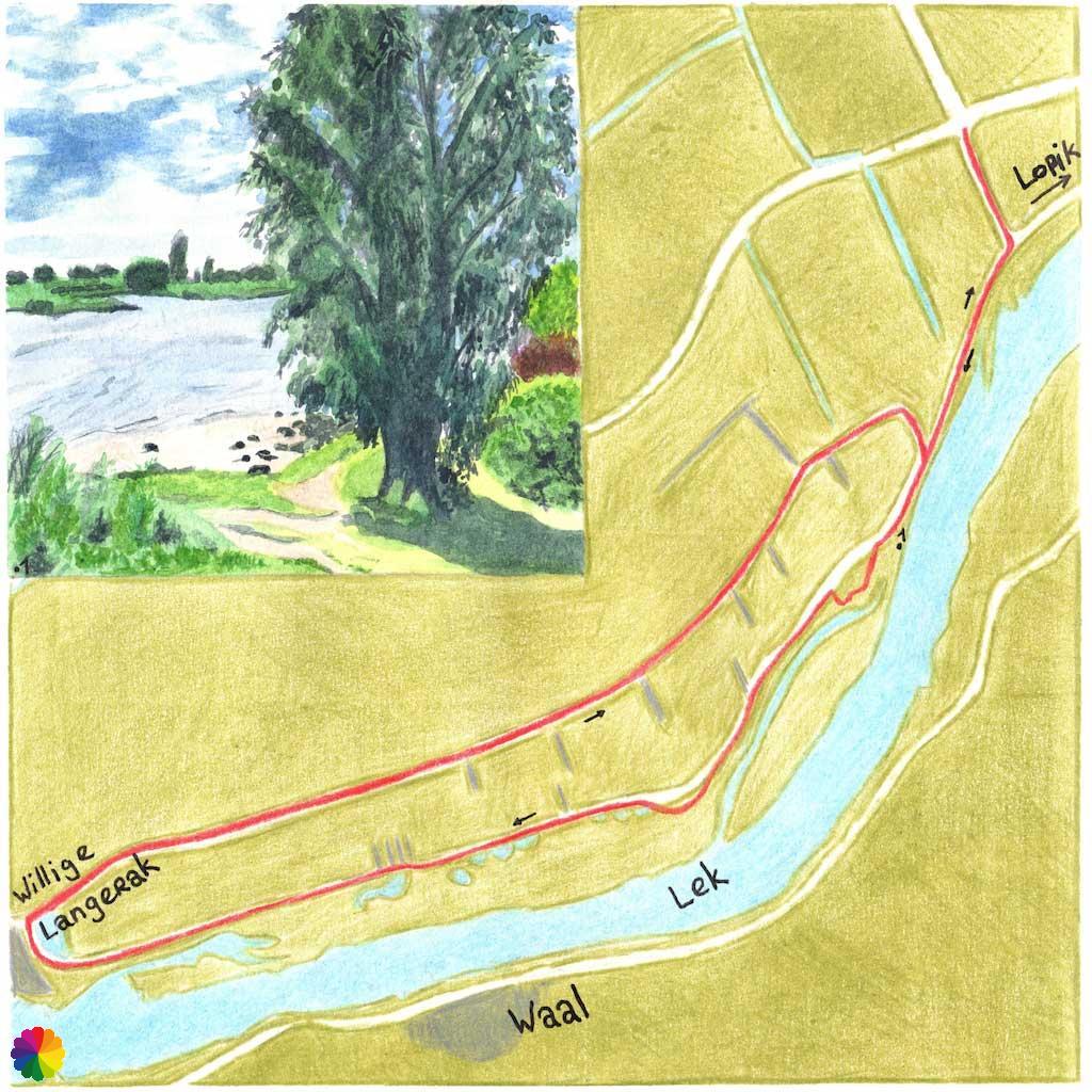
In the summer of 2020 I did another hike from the ANWB’s trail booklet Hiking in the Green Heart in the Netherlands. This time the hike is near Lopik and follows a trail largely along the river Lek to the town called Willige Langerak. This is also the name of this hike: Willige Langerak trail.
On my way to the river Lek
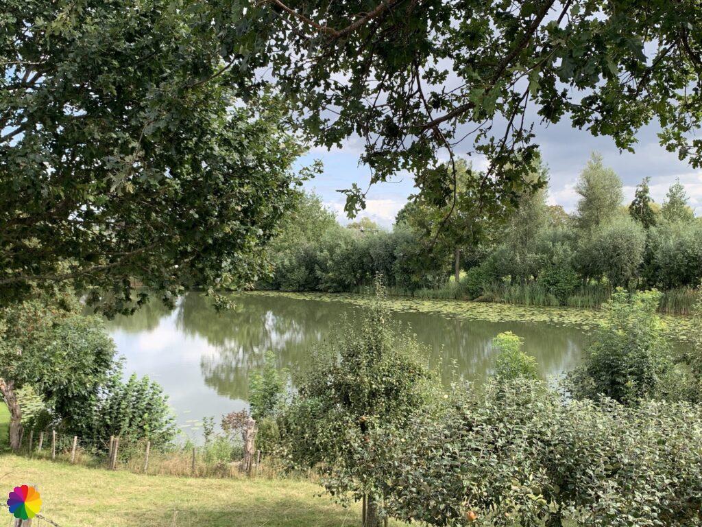
The nearest bus stop is on the edge of Lopik. From Rotterdam Capelsebrug it’s roughly a 45-minute bus ride. At the bus stop, I immediately turn left and walk along a polder road towards the river Lek. In the distance, you can already see that the Lek is a lot higher. Further on, the road suddenly becomes a lot steeper and at the top, at the T-junction, I have a beautiful view of the river from the Lekdijk. I turn right on the Lekdijk West.
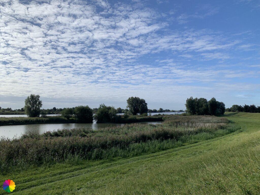
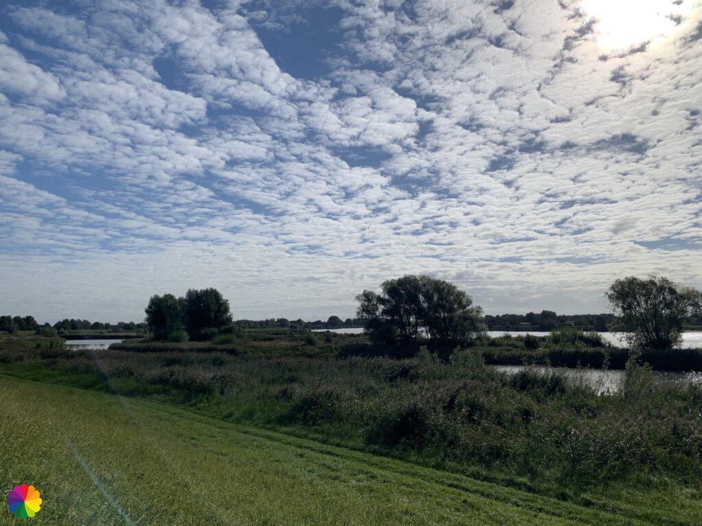
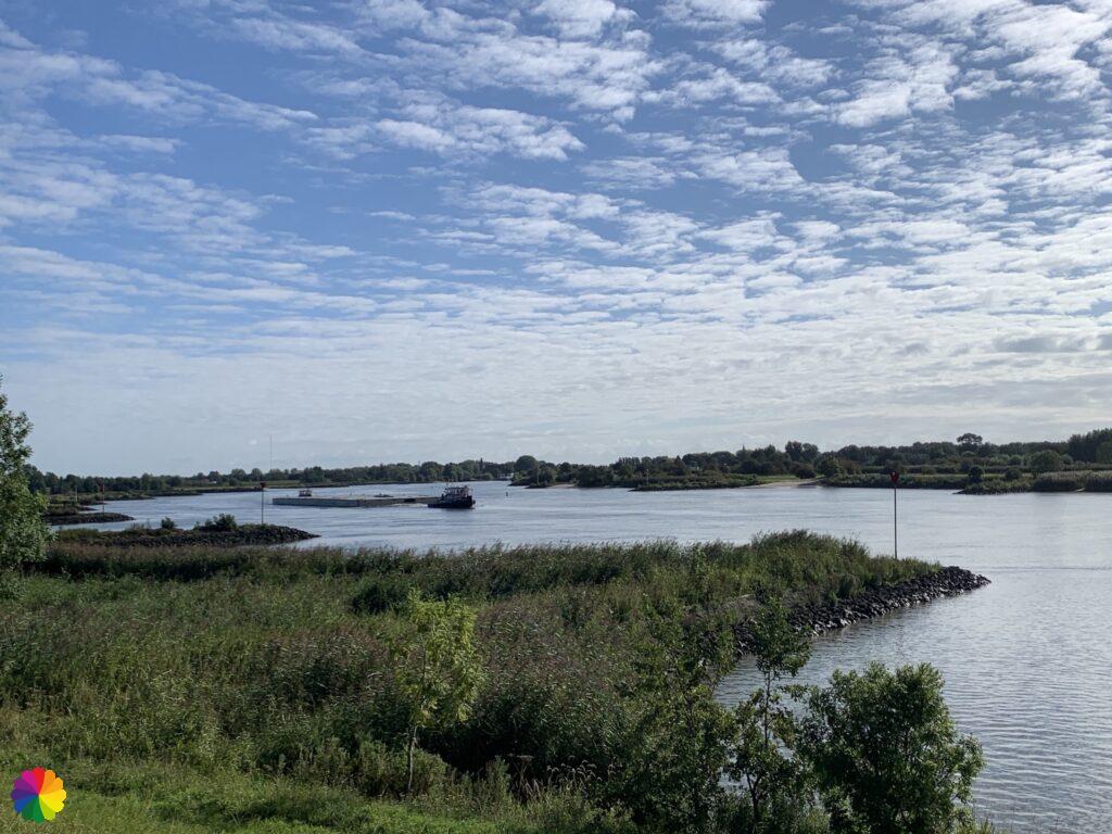
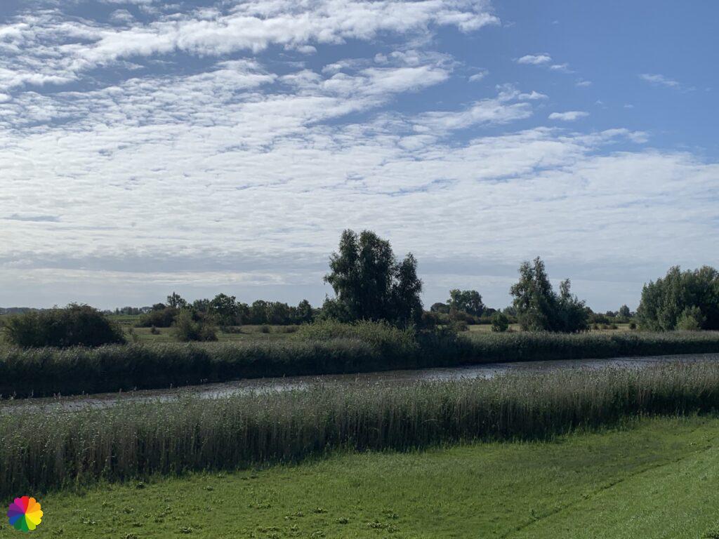
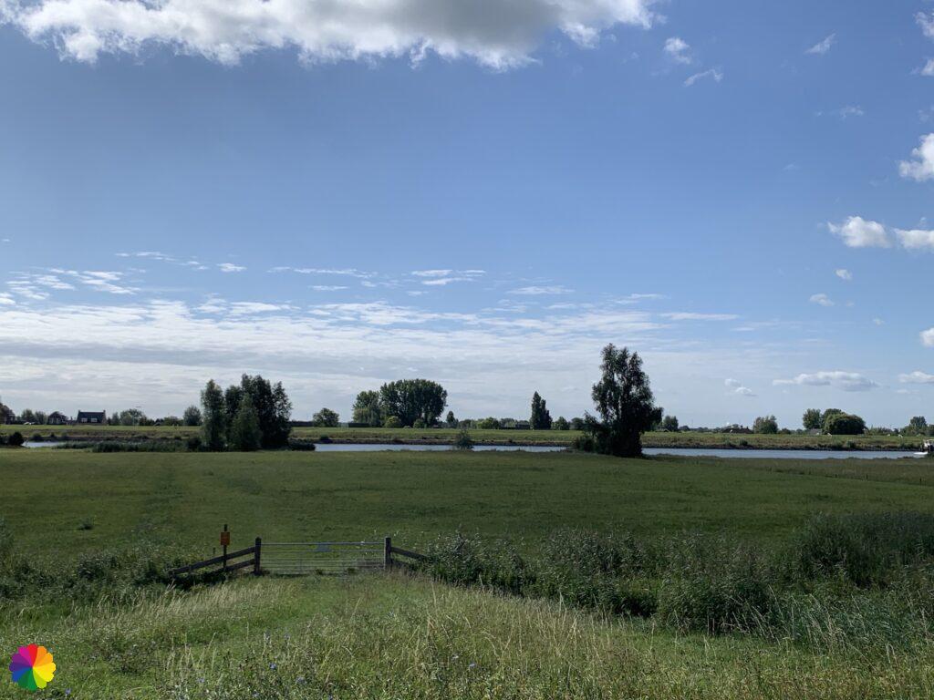
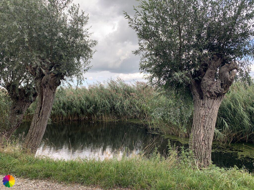
I walk a long way along the winding Lekdijk and look out over the floodplains of the Lek. On this side and the other side of the river, several little river beaches can be seen.
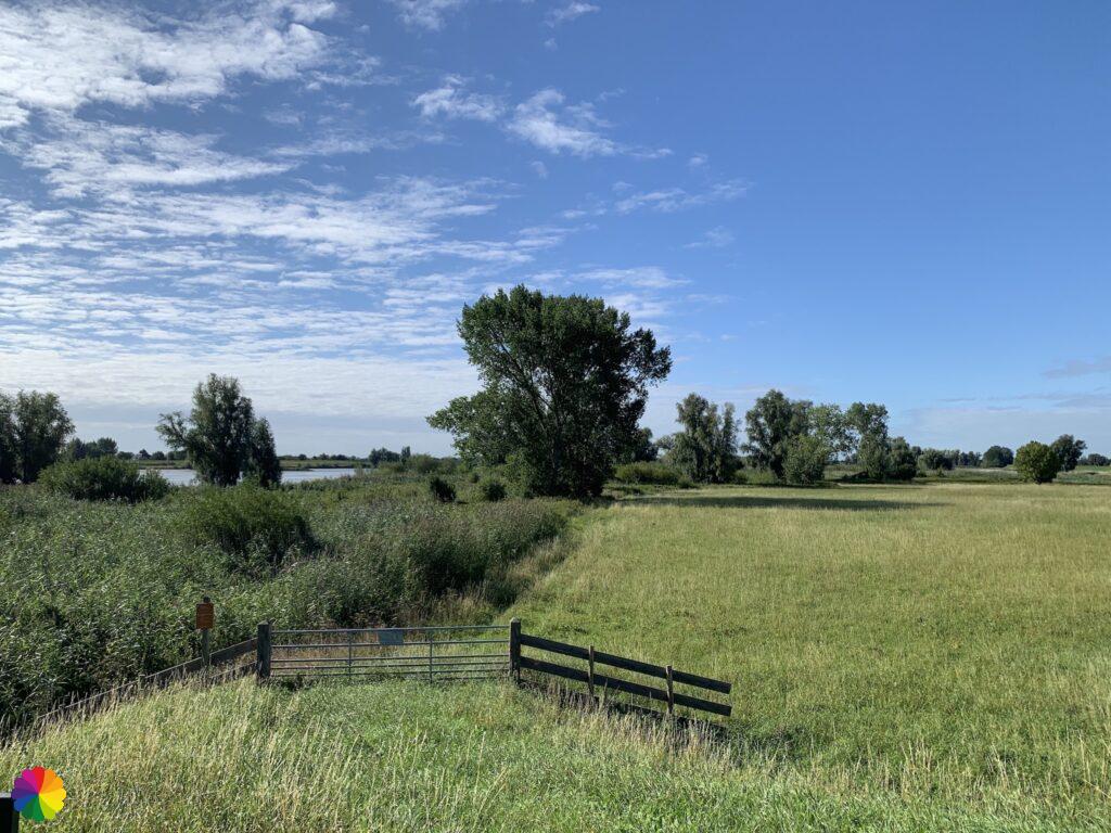
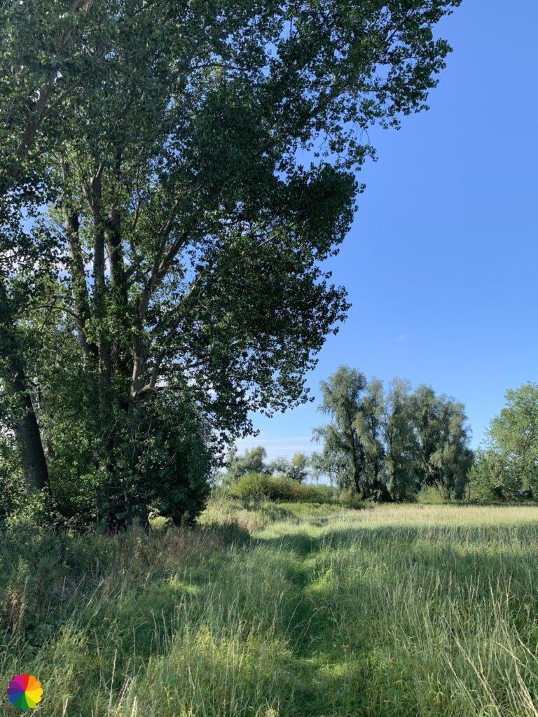
Near such a river beach, I take a short break on a bench. In the floodplains of the river Lek , there are many freely accessible footpaths. The trail also sends me into the floodplain from this point on. I climb over a fence and walk along the footpath towards a group of trees. The further I walk, the higher the grass gets. At a certain point, I’m no longer sure whether I’m still walking on the path. But it does look as if there is some sort of passage. The grass is now up to my armpits. A footpath like this is nice, but this is very impractical. I hope that the paths are not like this everywhere, I can’t really get going like this.
Other trail guide about the Green Heart
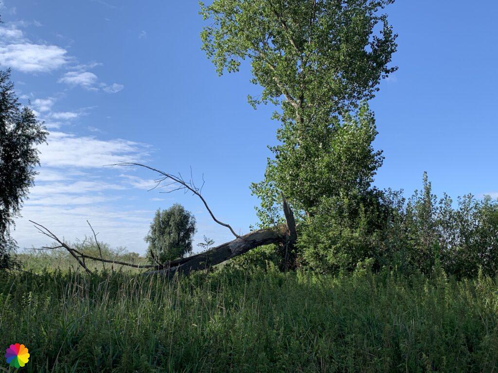
A little later, the path sends me back onto the dike and I end up on the Lekdijk again via a small overpass. I check whether I have caught a tick, but that is not the case.
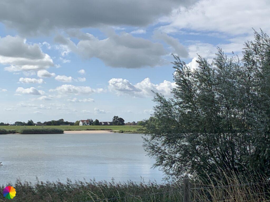
Geological monument De Bol
I am now passing a kind of island, the river is a long distance away. Later, I discover that I have hiked past a geological monument called ‘De Bol’.
Source (in Dutch): Lopiknatuurlek.nl

The trail sends me into the floodplains once more. I climb over a small overpass again and walk a bit on the path. I don’t like walking on this path. So I decide to slowly walk up the dike and at the next overpass go back onto the paved road.
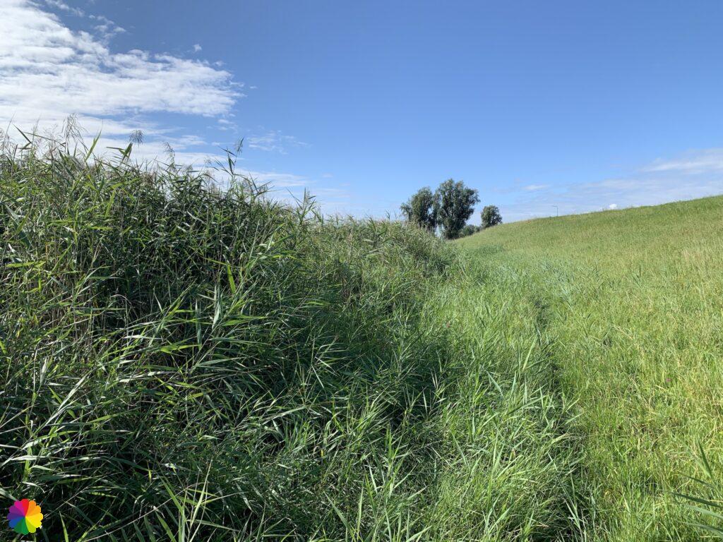
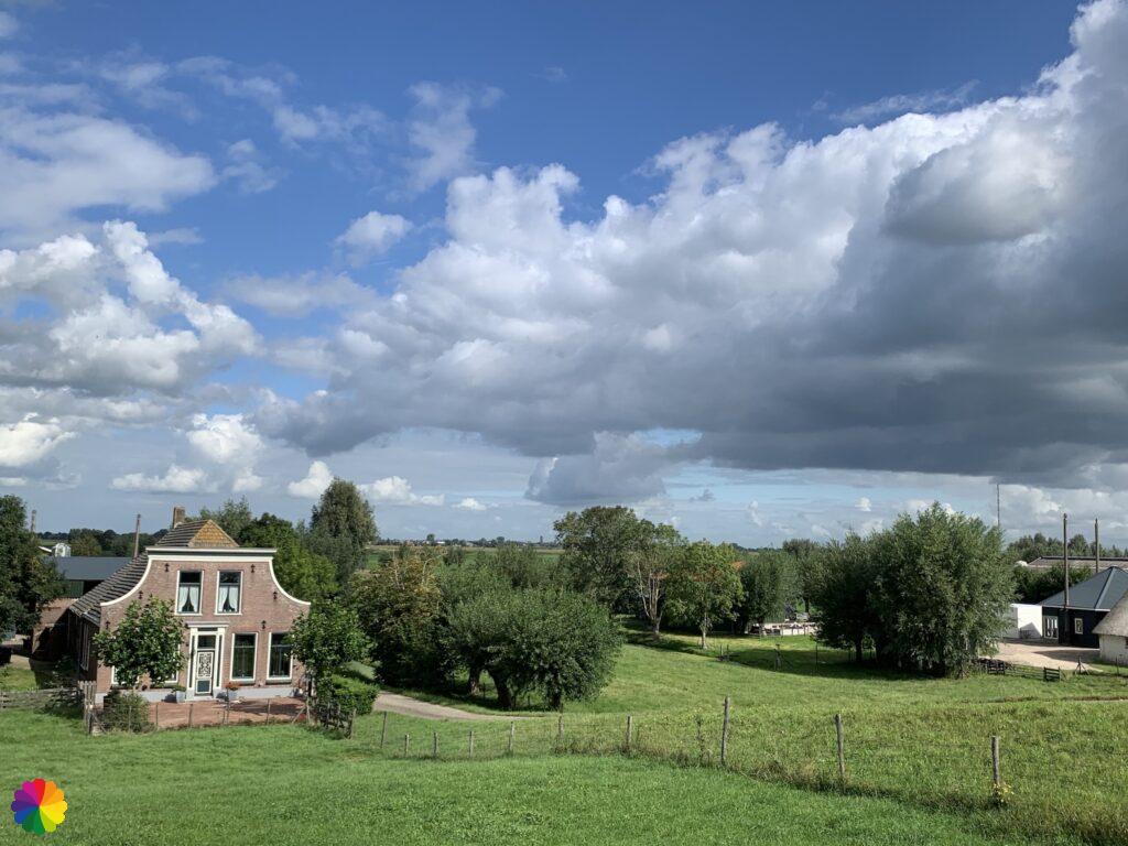
A little further on, the trail goes into the floodplains a third time, but I prefer to stay on the Lekdijk now. I like the view of the floodplains better than walking through it. Behind the dike is also the outstretched Lopikerwaard with many beautiful farms. Also not a bad thing to look out over.
Willige Langerak
town with the name of the trail. I take one last look at the Lek and walk down the dyke on my right.
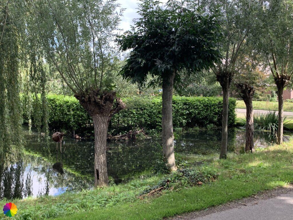
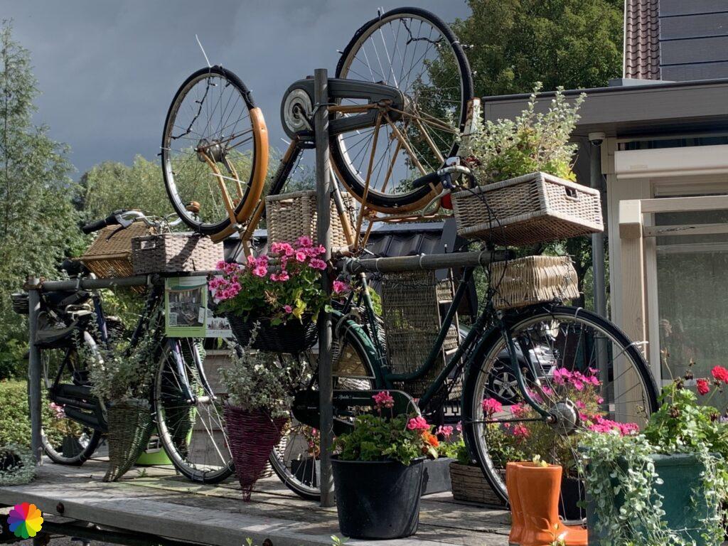
I see nothing much of the town. On the edge of Willige Langerak, the trail immediately heads back in the other direction. I walk on the Graaf Floris IV road along a pond and at restaurant de Wilgensprong I turn right on the Tiendweg. At this restaurant, there is a funny artwork made of bicycles.
The part back on the Tiendweg is a long, straight gravel path. As I have written before: I don’t like long, straight roads. So I set my mind to zero and continue along the road at a faster pace.

About 3 km further on I can turn right and walk the same part over the Lekdijk back to the bus stop.
Final thoughts
In itself, the trail along the river Lek was nice to walk, because of the curvy river and the bits through the floodplains it feels less like just straight ahead. The way back over the Tiendweg was straight on for a long time. Therefore, a bit of a boring trail. In spite of that, I enjoyed it.
More info:
Trail: Willige Langerak trailWhere: Between Lopik and Willige Langerak, Utrecht, in the Netherlands
No of km: +/- 10 km
Hiking date: 10 August 2020
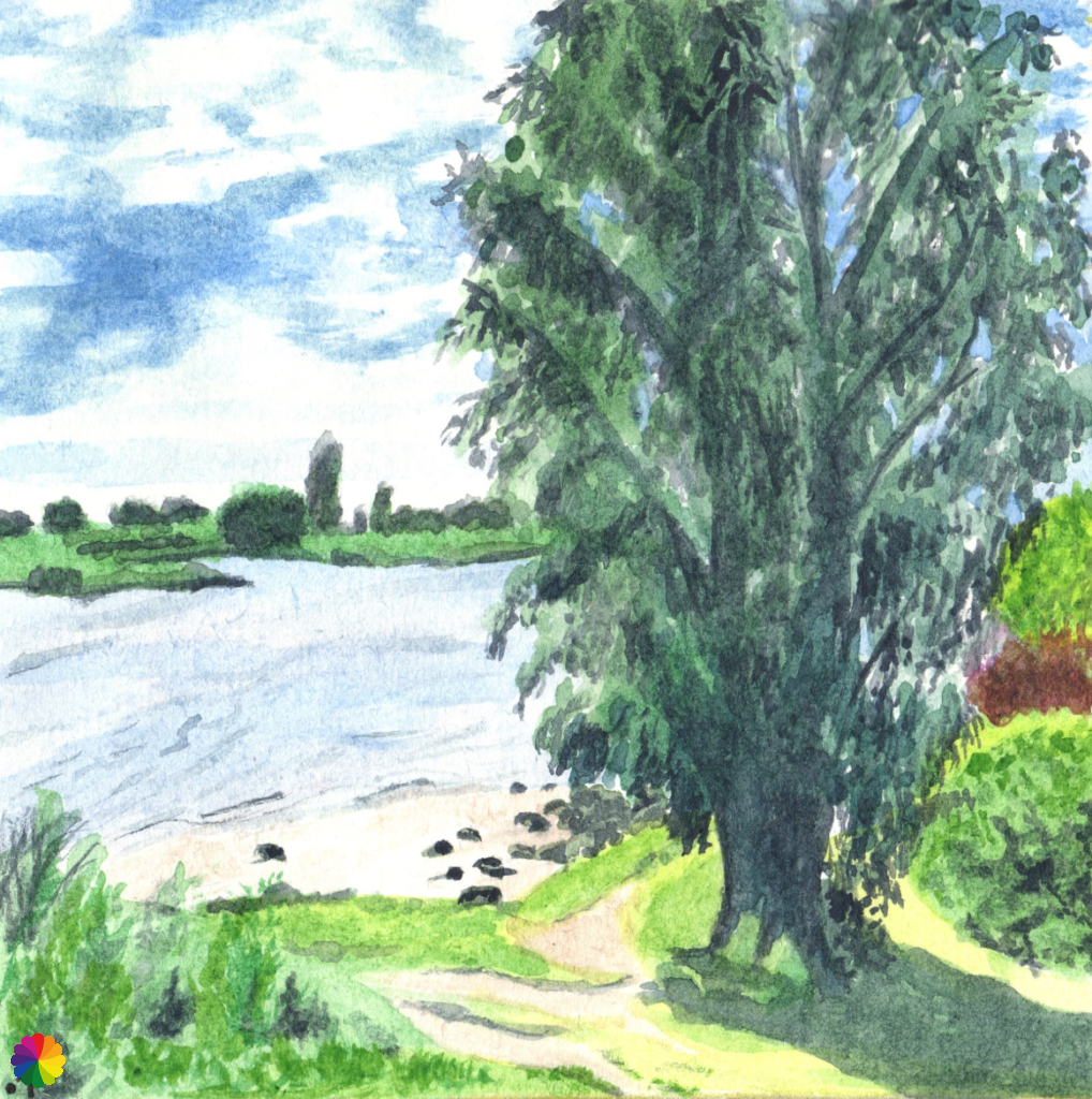
Materials used in illustrations: coloured pencils for the map, watercolour paints for the river beach
Rating: ⭐⭐
Hiking booklet (not for sale anymore):
The hiking trail can still be found on the toproutenetwerk.nl (Toeristisch Overstappunt): TOP Boskoop (in Dutch).
By the way, this was the last blog post about hiking in the Green Heart for now and also the last Green Heart hike I did in 2020. I hope to complete all the hikes from the booklet in 2021. I still have 4 to go!
Back to Blog