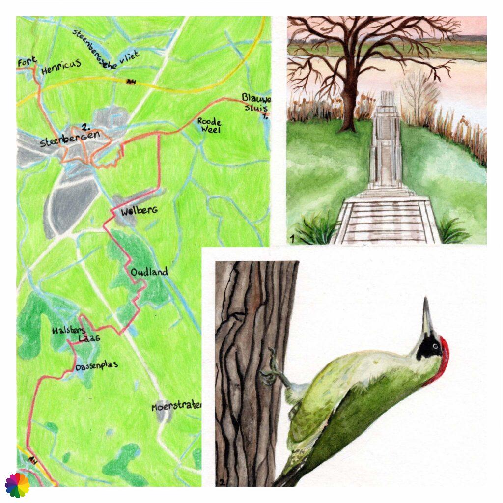
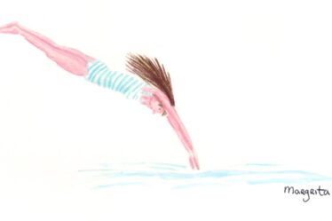
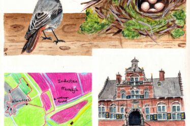
I divided the trail of the Southern Waterline between Halsteren and Steenbergen in the Netherlands into two parts, so that I could make a side trip to Blauwe Sluis. This place is outside the trail, but worthwhile for a visit because of the longest picnic bench and fishing jetty in the Netherlands, as well as bird watching hut de Roode Weel.
The first part goes from Halsteren to the outskirts of Steenbergen and the second part from Blauwe Sluis to Fort Henricus and town of De Heen.
Part 1: Halsteren – Steenbergen
Nature reserve Halsters Laag
From Halsteren, I walk in the dark past the gnome houses I discovered in my previous hike. I walk to Fort de Roovere and the Pompejus tower, where I pick up the trail. It has now become light as I walk past the tower.
I walk along the edge of the forest and cross the highway via a bridge. I leave the forest behind for now. On the other side of the highway is the polder called Het Laag (The Low).
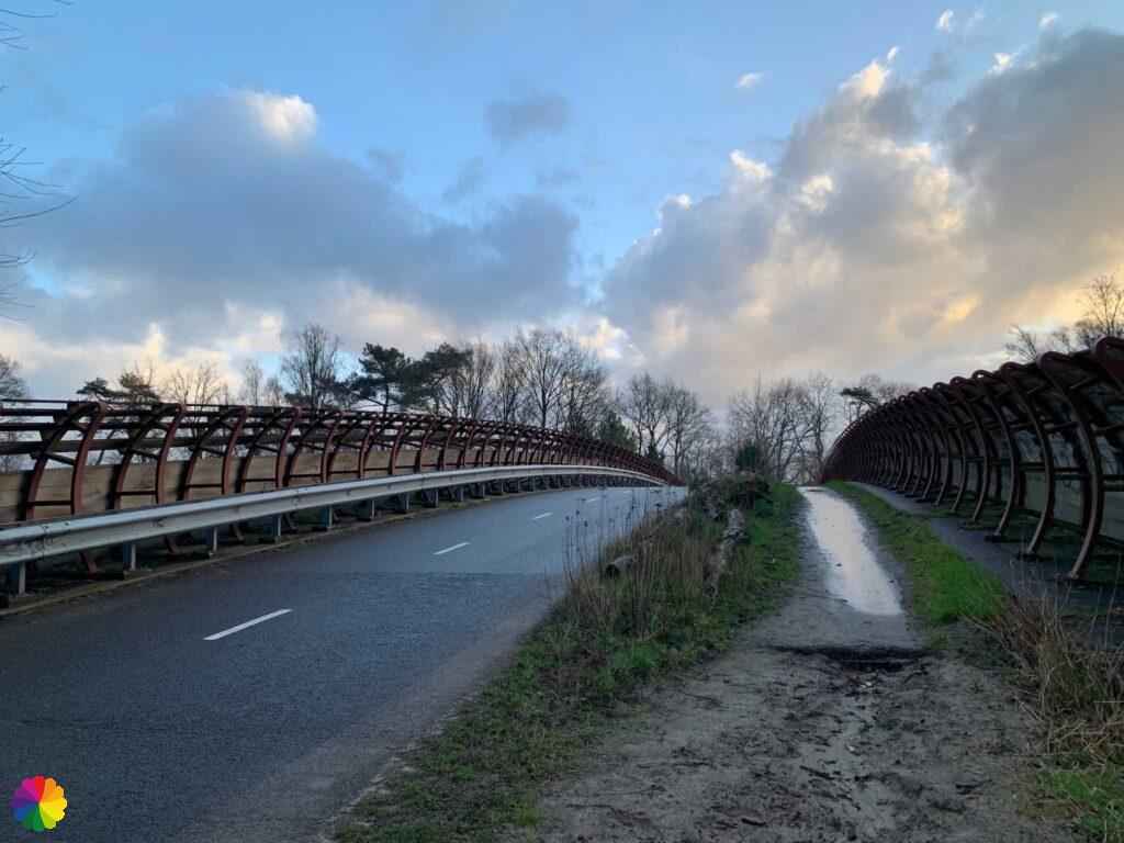
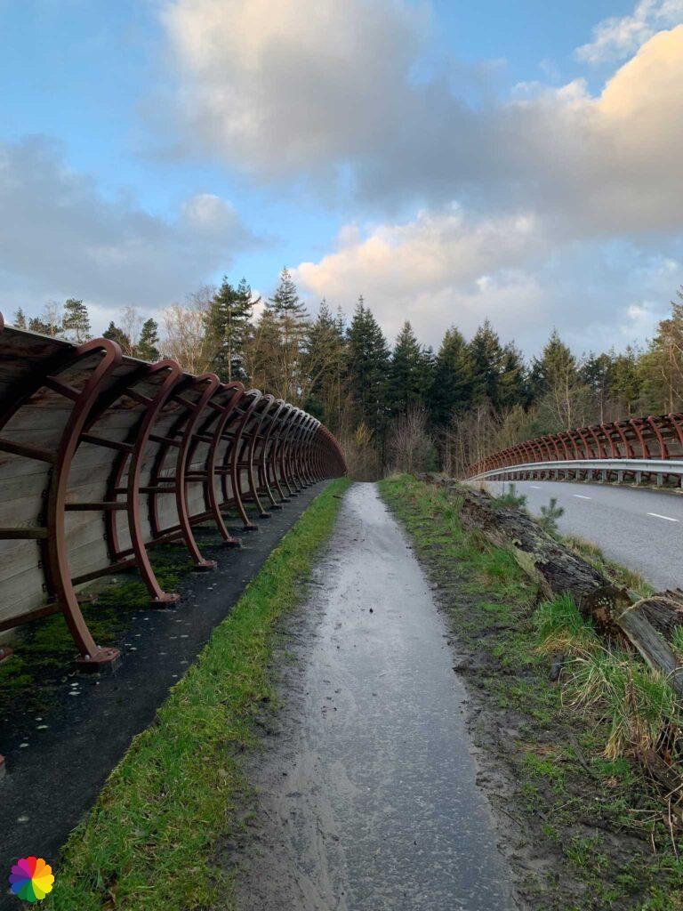
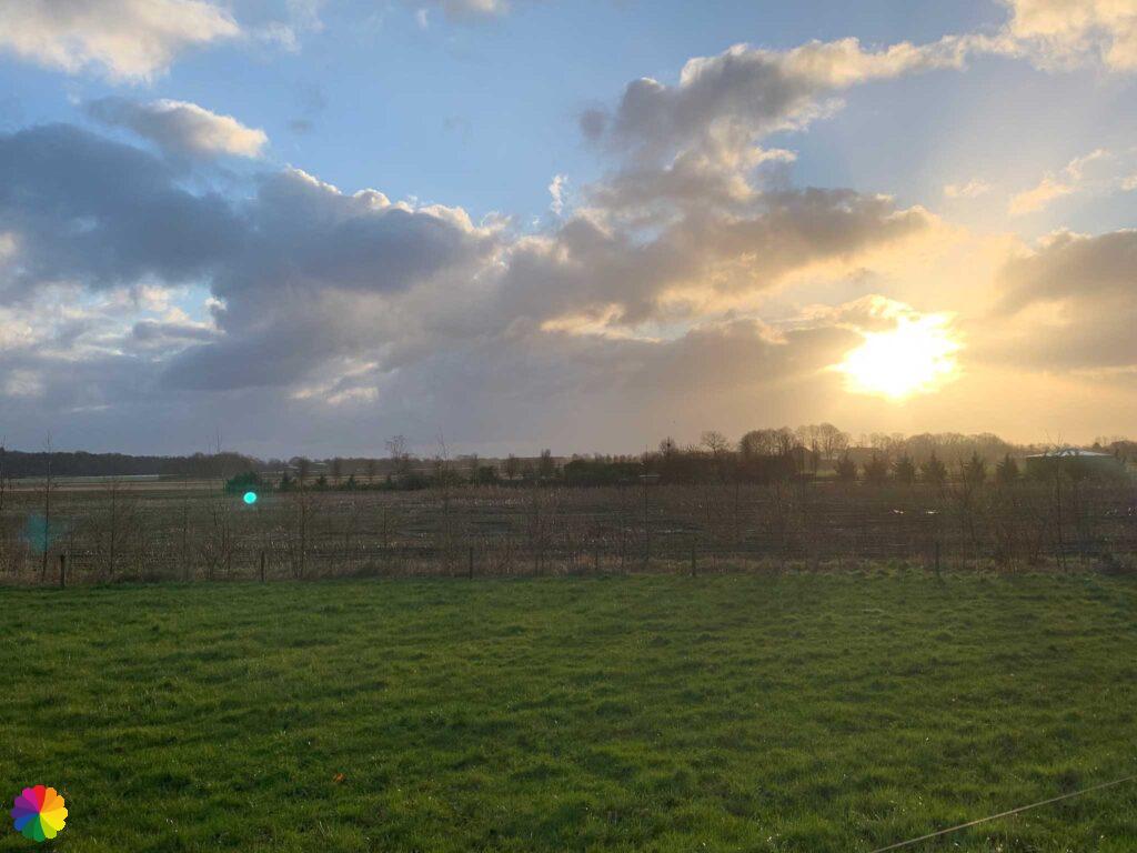
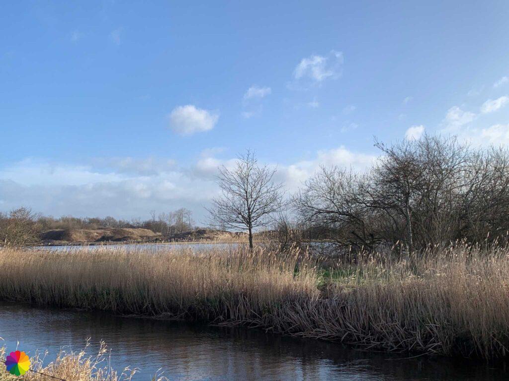
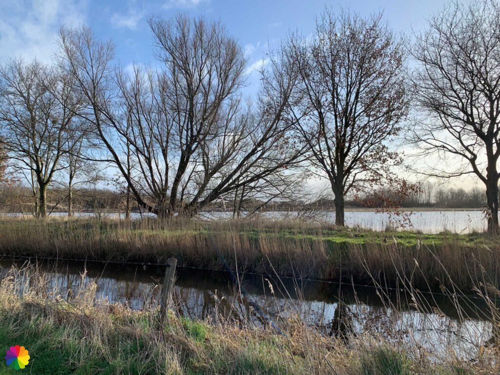
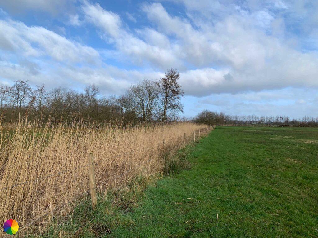
First I walk a boring stretch along the highway, but soon I turn right onto a path right through the polder. Even in winter, the polder is beautiful. I see many pools surrounded by golden grass and reeds.

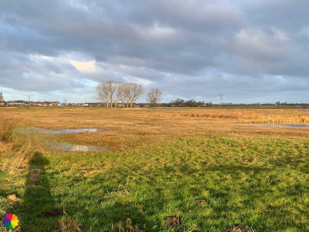
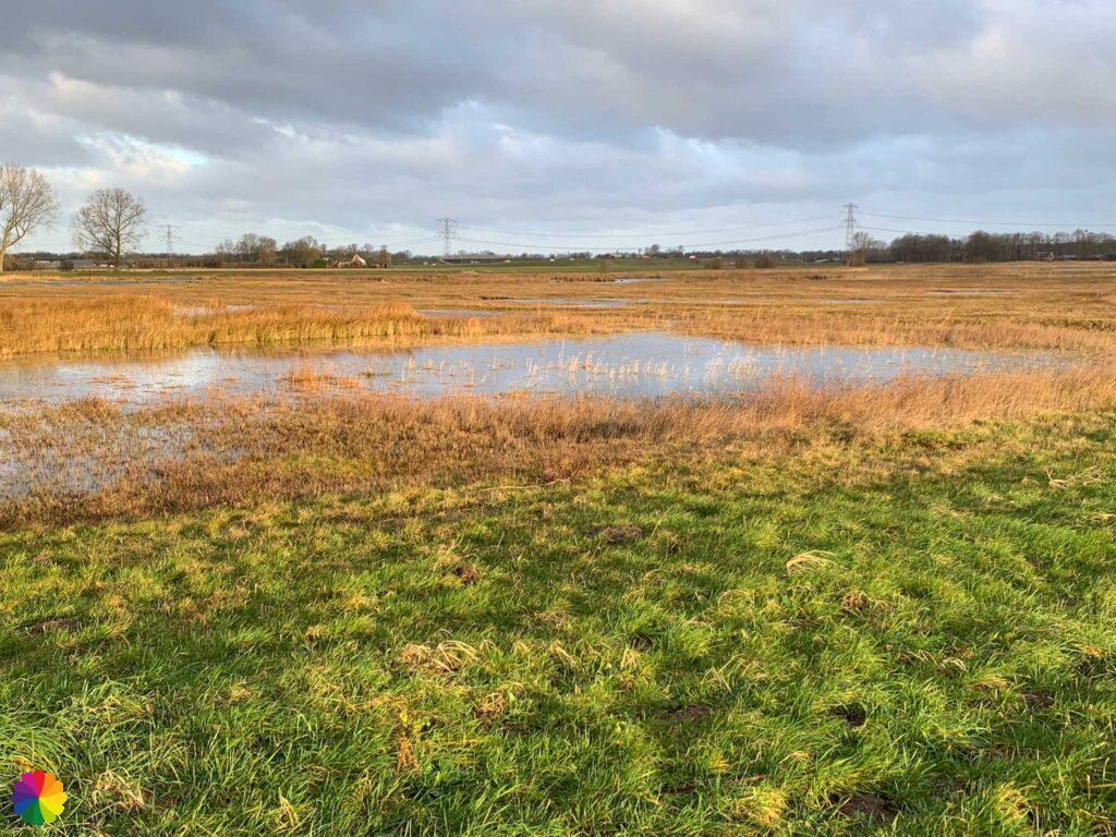
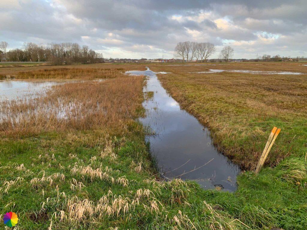

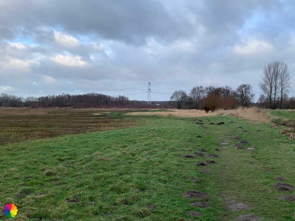

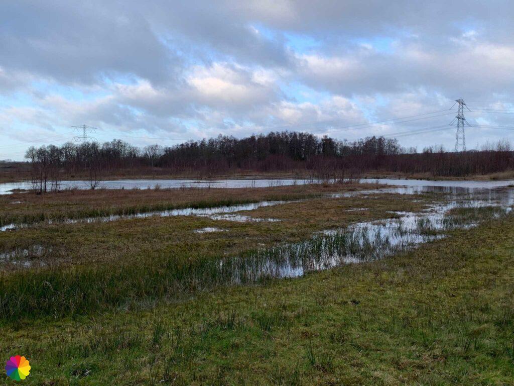
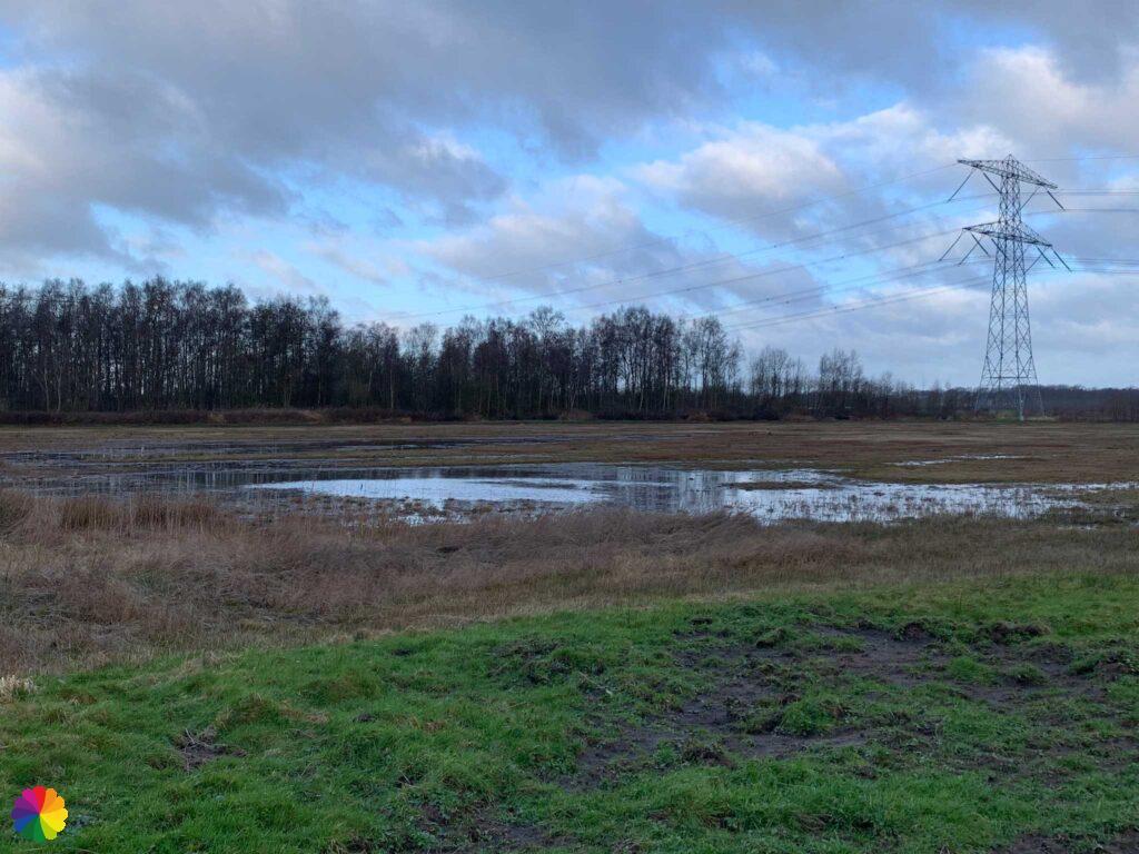

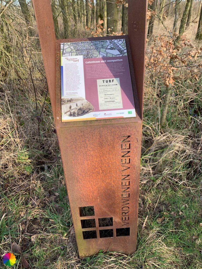
I am in the Halsters Laag (Halsters Low) nature reserve. I see markings of a boot trail. So far I didn’t need any boots, but I am happy with my high hiking shoes. Along the way, I come across an information column and a poem about the Vanished Peatlands. Incidentally, I have come across these information columns and the same poem before, such as on a trail near Etten-Leur. It turns out that in the West Brabant region and in Flanders (Belgium), several information columns have been placed with facts about the peat extraction that took place long ago in this region.
Het Laag consists of the Halsters Laag and Oudlands Laag nature reserves. At the time of the 80-year war, Het Laag functioned as an inundation area. It was under water for 20 years to stop the enemy. Today, the Halsters Laag is a beautiful nature reserve with pools, reed beds, marsh forests and wetlands.
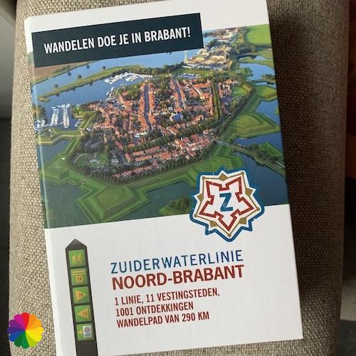
Source: trail booklet Zuiderwaterlinie

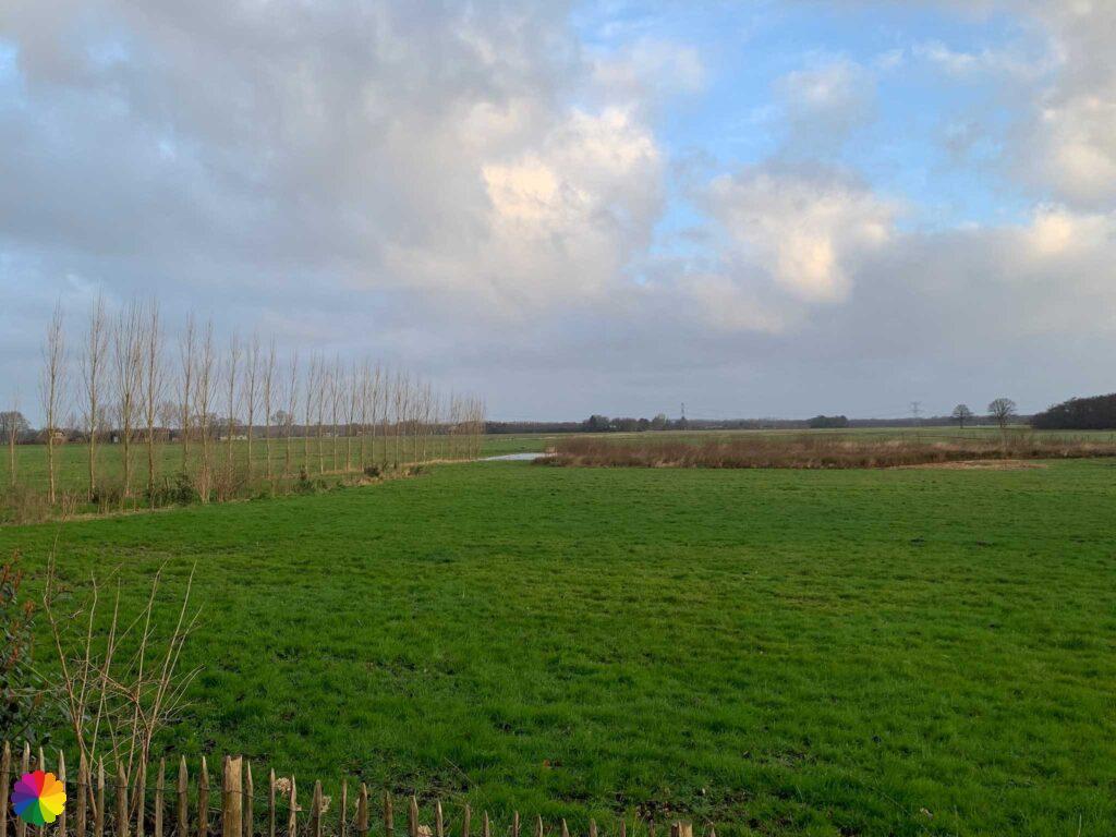
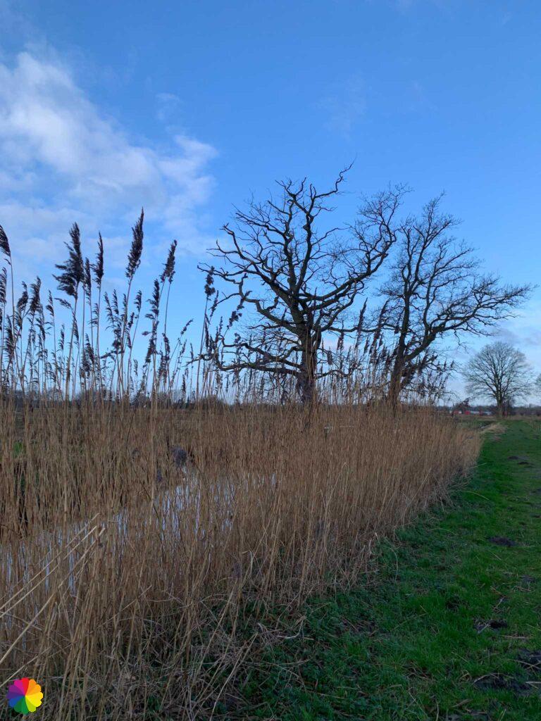

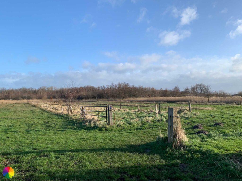
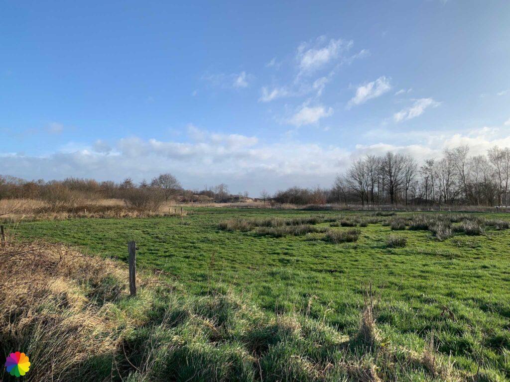
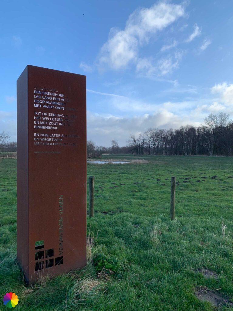
Taking the boot trail through the polder, I reach the Badger Lake. It is more densely vegetated here and there are more bushes and trees. I can see the lake between the trees. On nice winding paths, I walk along the lake. At a small bridge, I take a break.
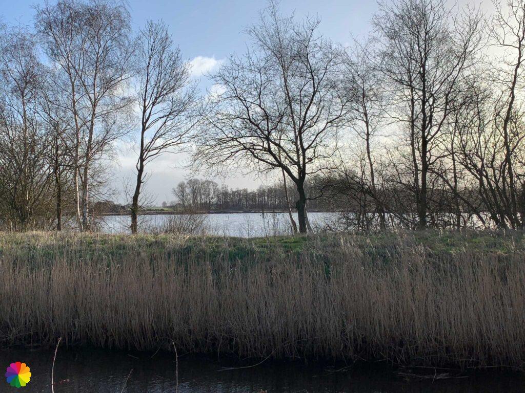
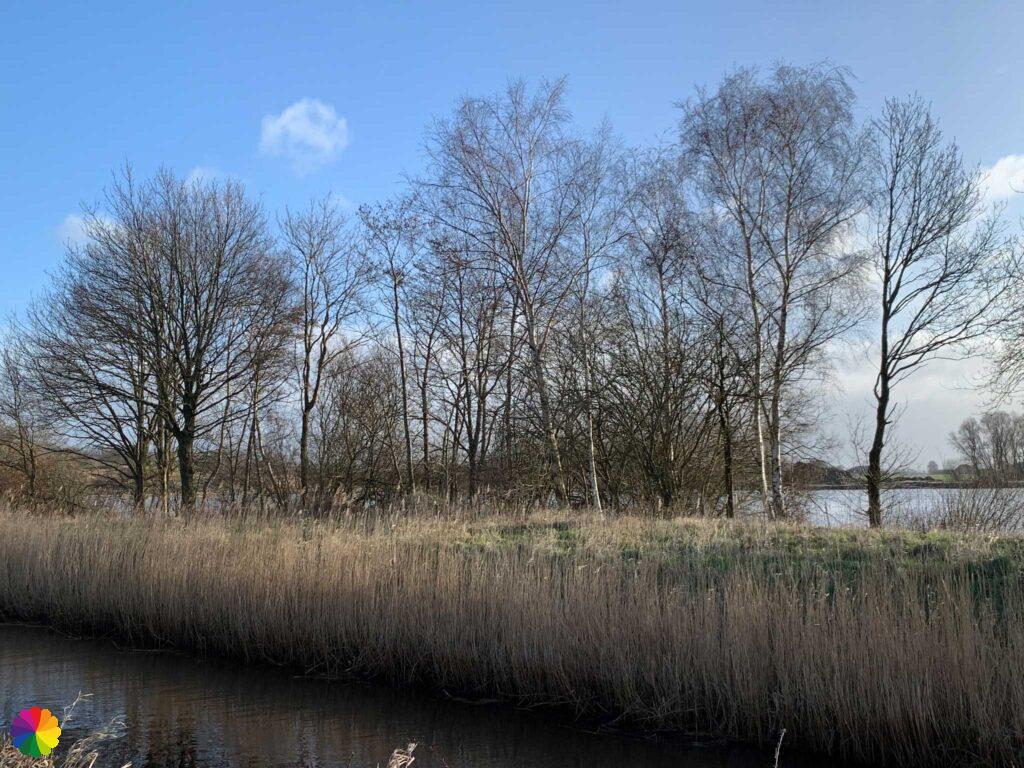
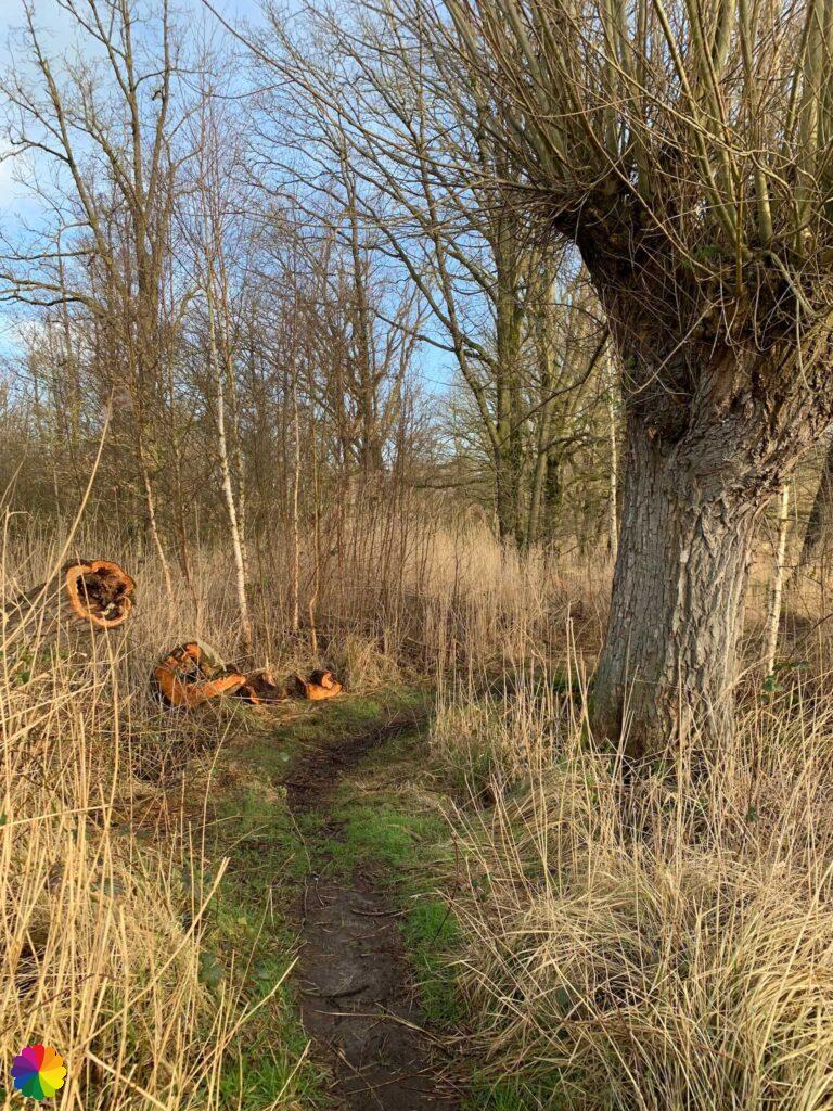
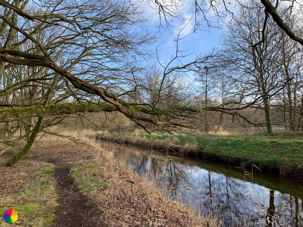
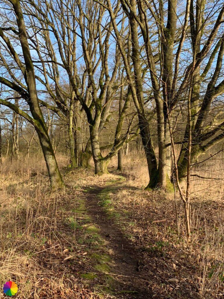
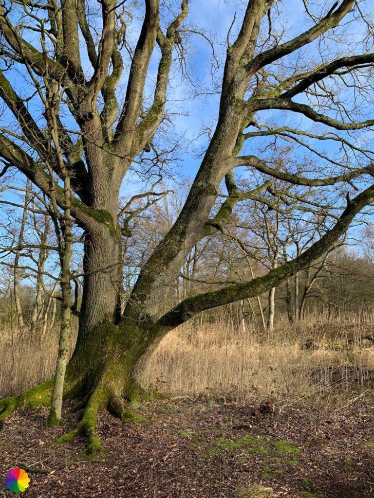

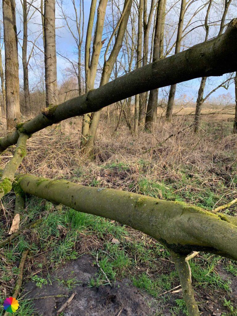
From here, the path becomes more difficult. There is a lot of storm damage in the form of fallen trees. One tree has even fallen right across the path and I have to wriggle through the branches. I also come to a fence that I have to climb over. On the other side of a fence is a deep mud puddle for which I need boots after all. Via the side, clinging to barbed wire, I manage to get past it.
I walk past more marsh forest, but I have lost the markings. I turn left and right and then I see the paved road ahead. When I reach the road I still don’t see any markings. I didn’t come out right after all. I turn right and there is a marking after all. Fortunately, I have only wandered a short distance.
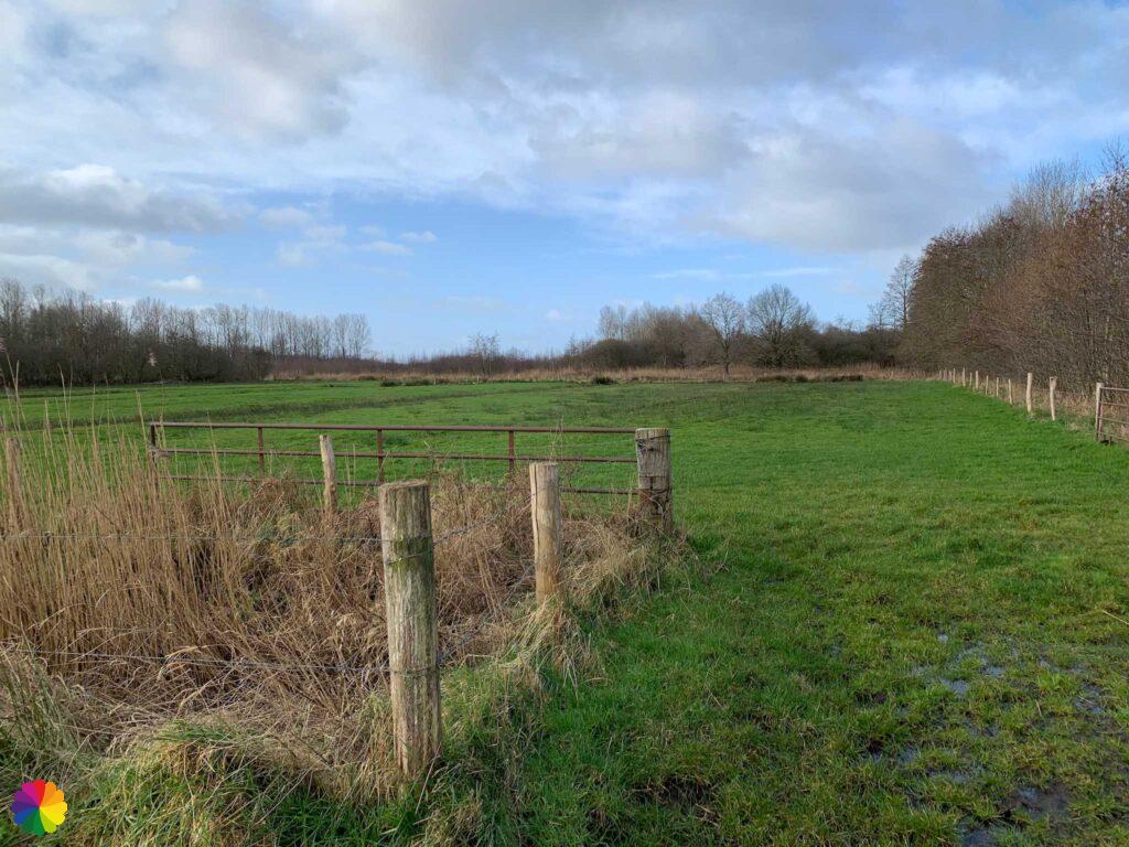
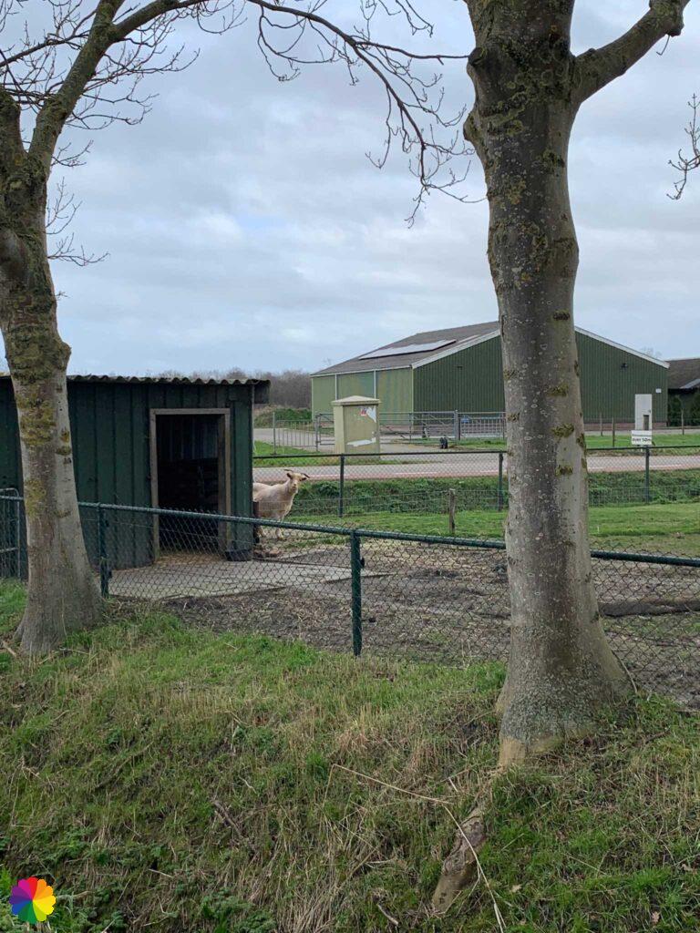
At the corner of the road is a farmhouse and a goat pasture. A goat looks curiously around the corner of its pen.
Nature reserve Oudland
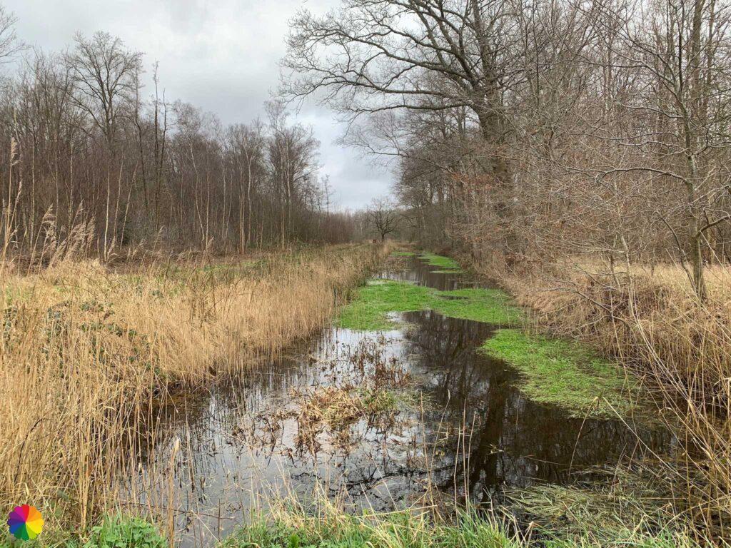
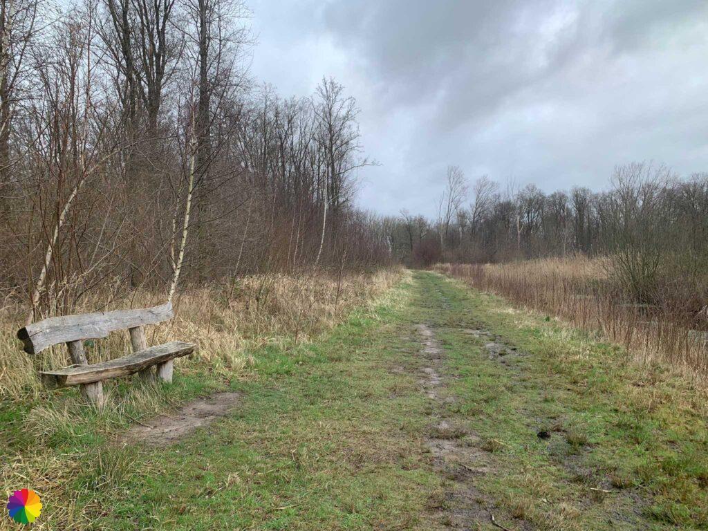
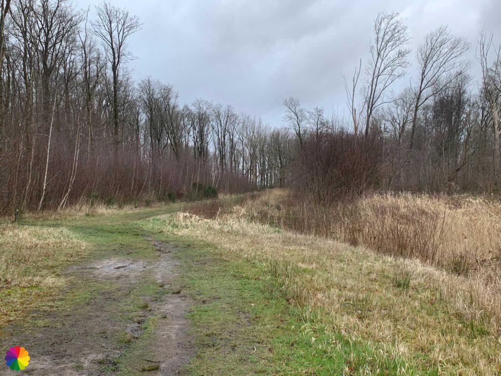
Via a farm road, I walk towards the Oudland forest. It is a varied course on forest paths, grass paths and along creeks. Lovely such an unexpected stretch through the forest! All around me I hear the tapping of woodpeckers.
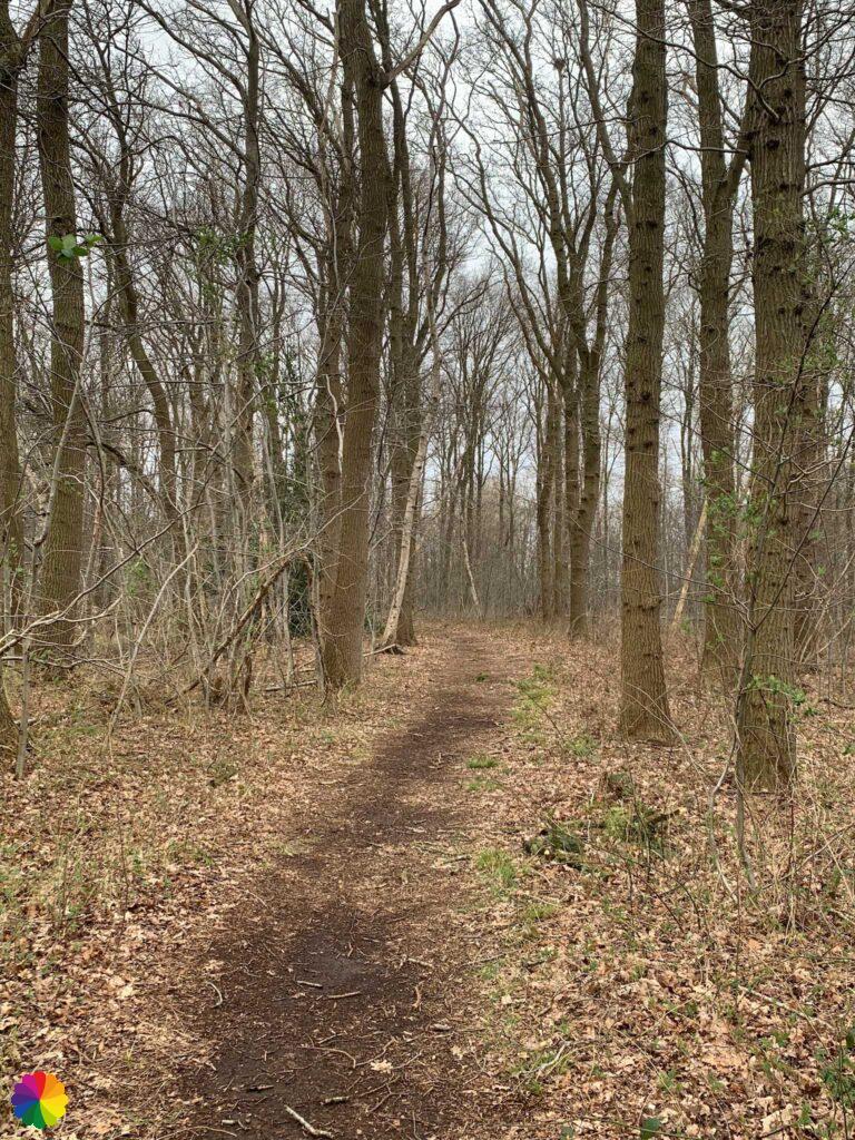


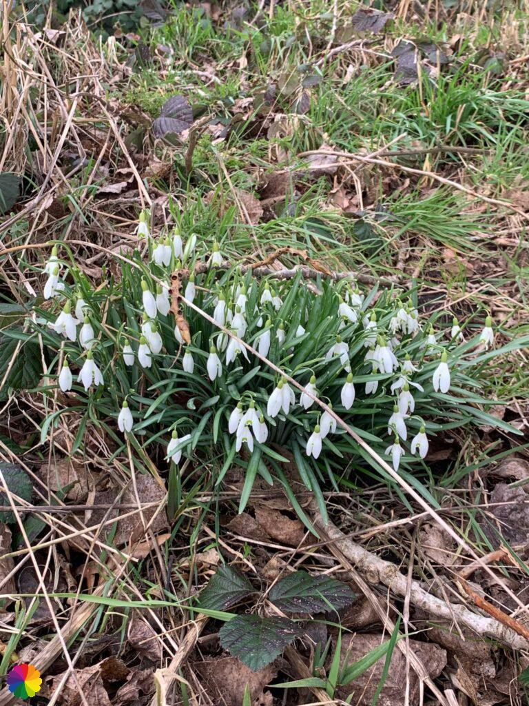
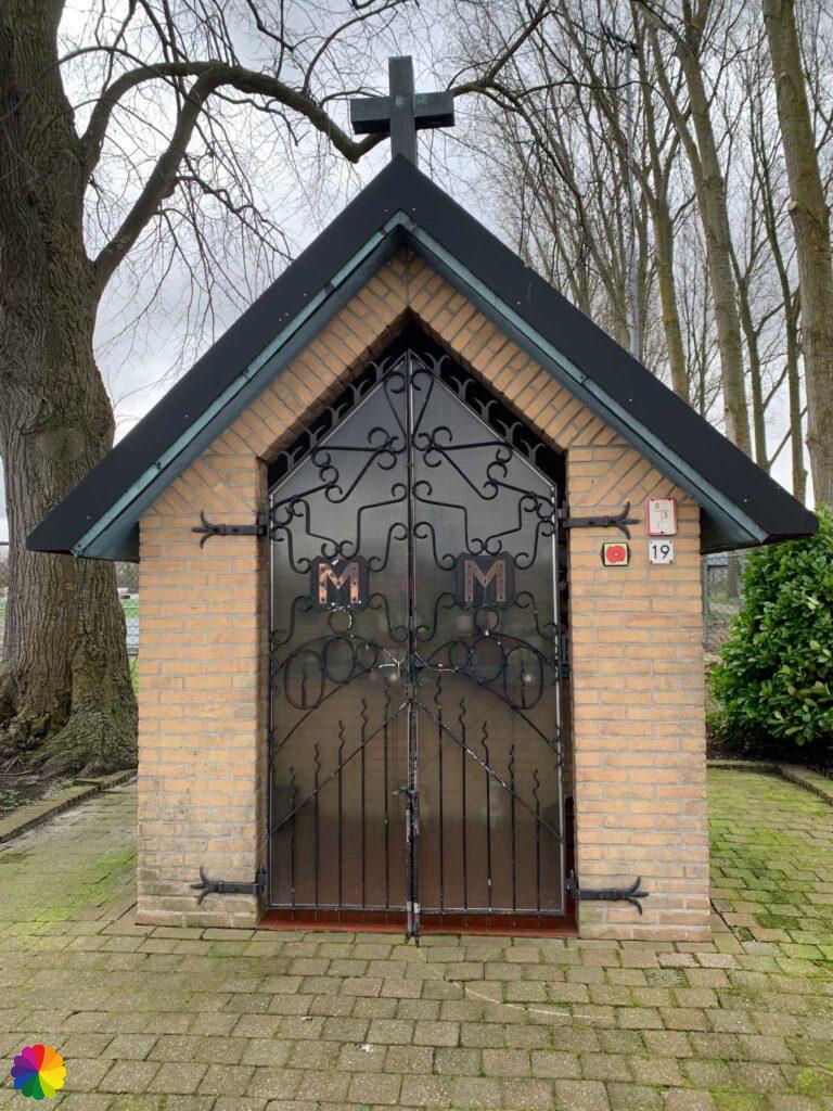
I soon leave the forest again and walk along a farm road once more, this time towards Welberg. On the way, I come across the first signs of spring: snowdrops! Further on, I turn right into the town of Welberg. At the corner of the road is a little chapel. Unfortunately, it is closed.
At the church in Welberg, I should actually go straight on to Steenbergen, but I read in the trail guide about Blauwe Sluis, where, besides a sluice, there is also the largest picnic bench and fishing pier in the Netherlands. I also pass bird-watching hut de Roode Weel.

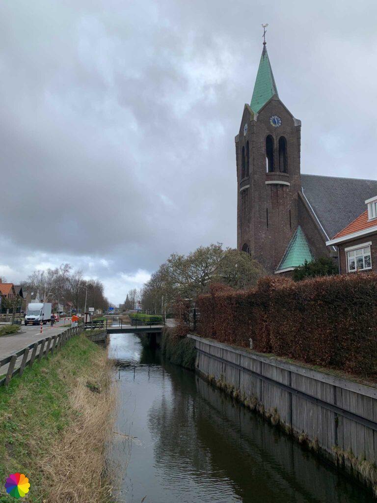
I am already walking in the direction of Blauwe Sluis, but I notice that I am starting to get very tired. I decide to take a different route towards Steenbergen. Next time I’ll just start in Blauwe Sluis, then I won’t have to skip this detour. I did this a week later.
Part 2: Blauwe Sluis – Fort Henricus
Pink skies in Blauwe Sluis
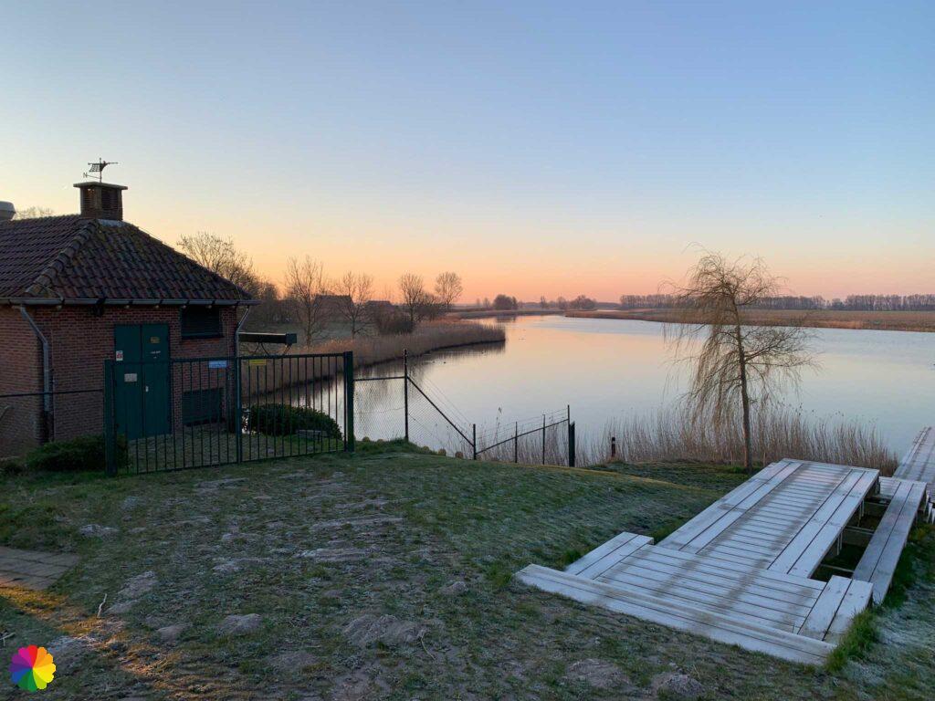
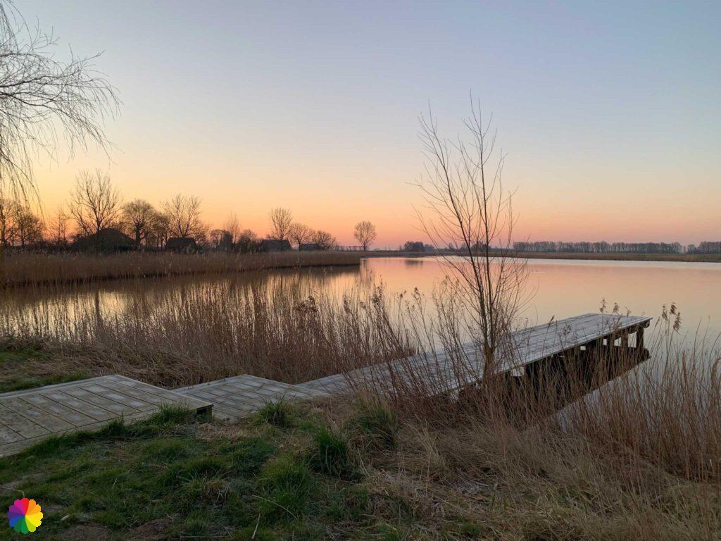
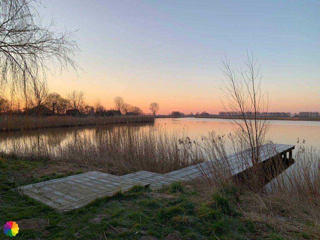
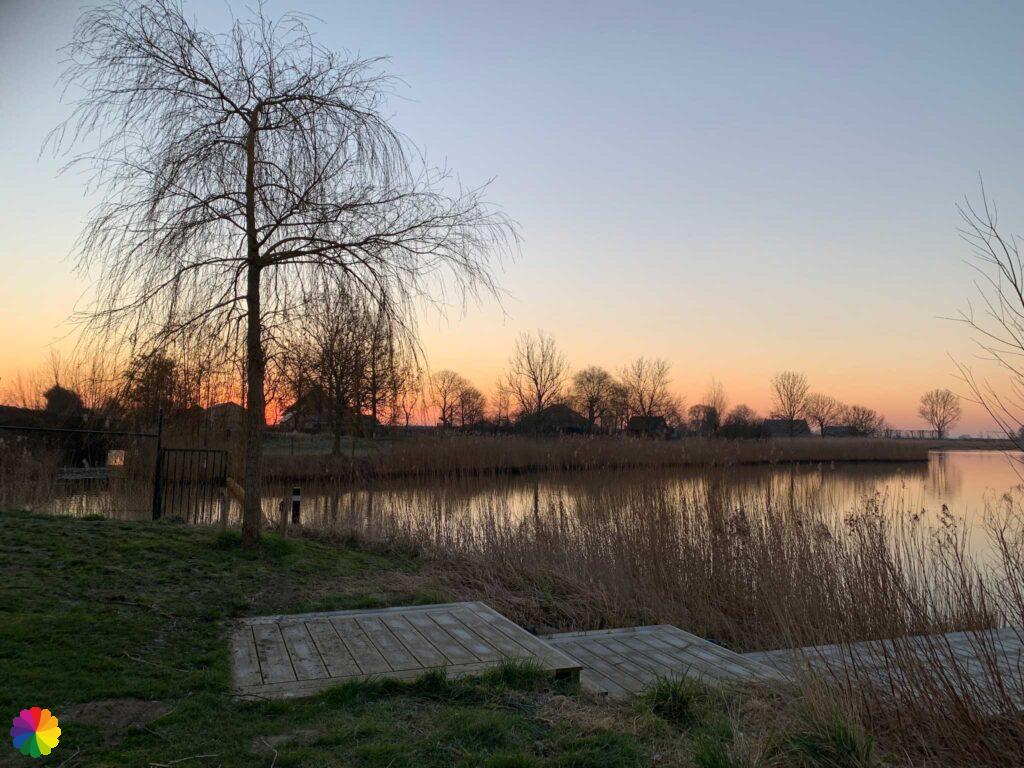
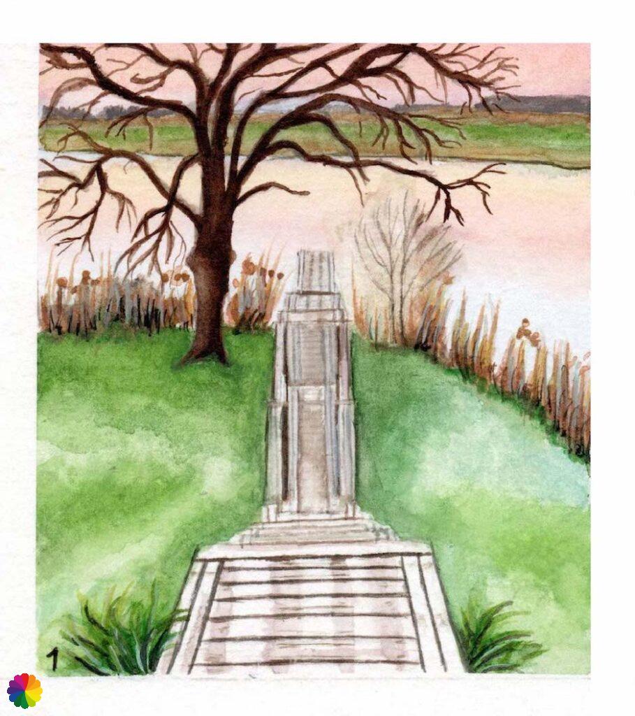
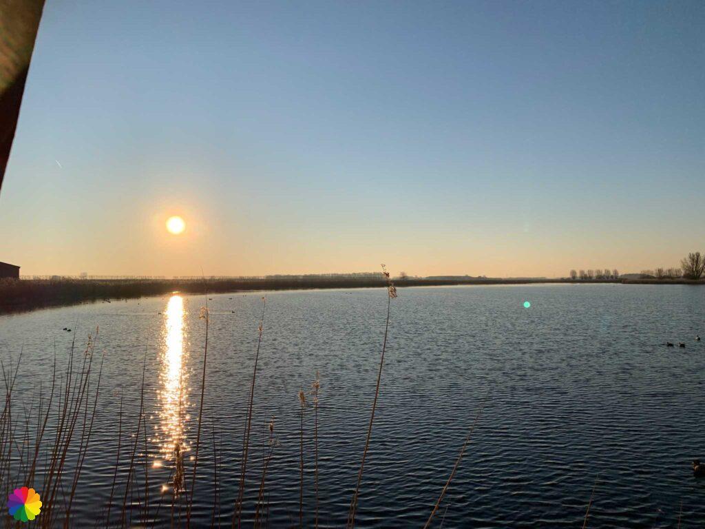
A small local bus takes me to Blauwe Sluis. I am dropped off a bit too far, so I have to walk back a bit. There is the sluice with its picnic bench and fishing jetty. A really nice place to be. I’m there at sunrise and the sky colours beautiful pink and lilac. The frost on the grass and jetty also gives it a fairytale feel.

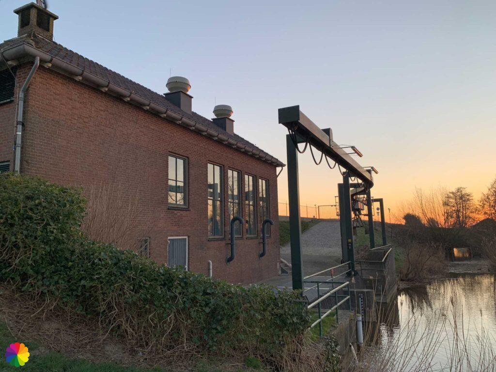
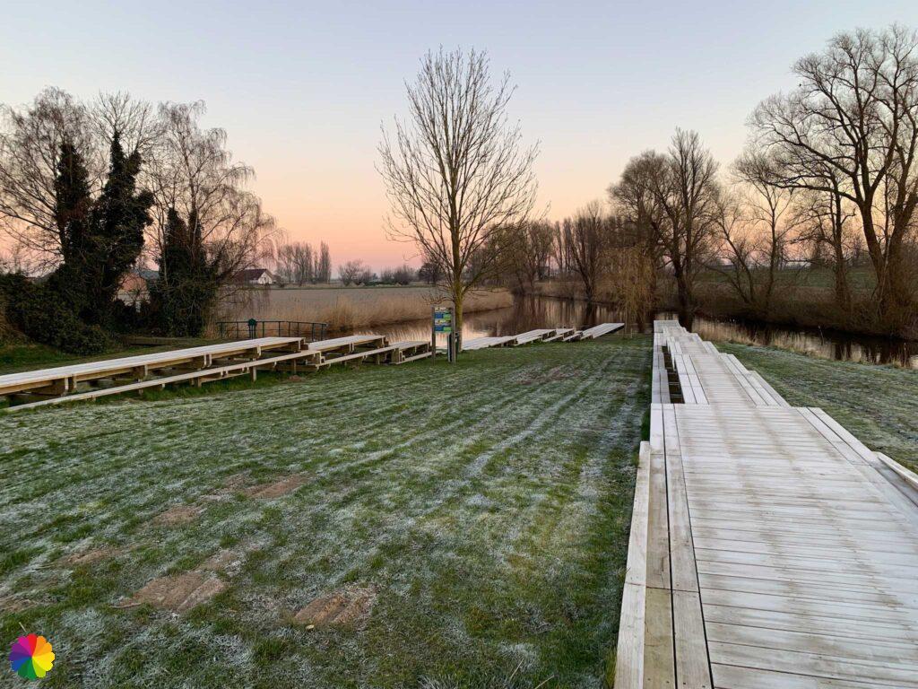
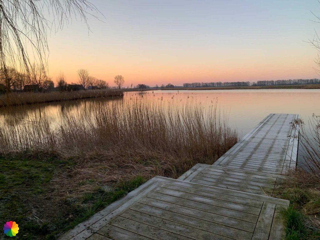
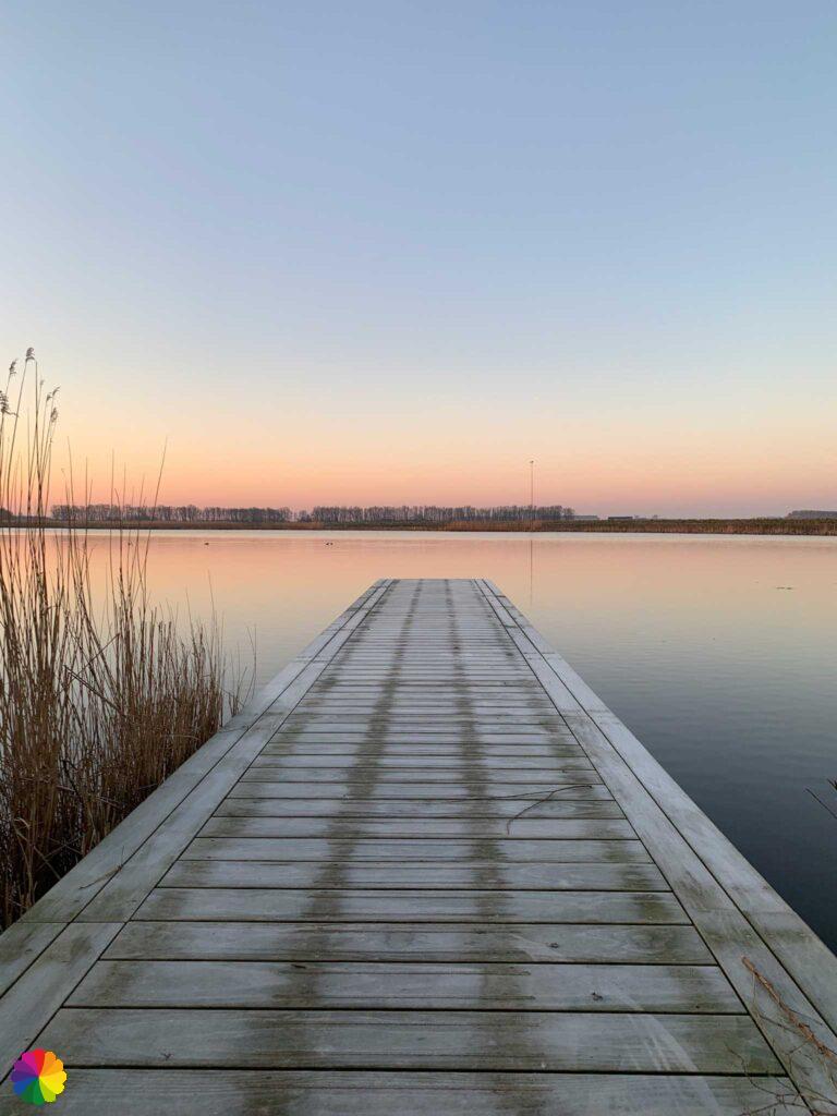
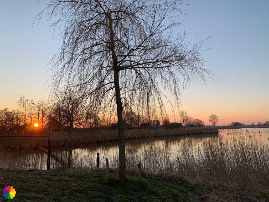
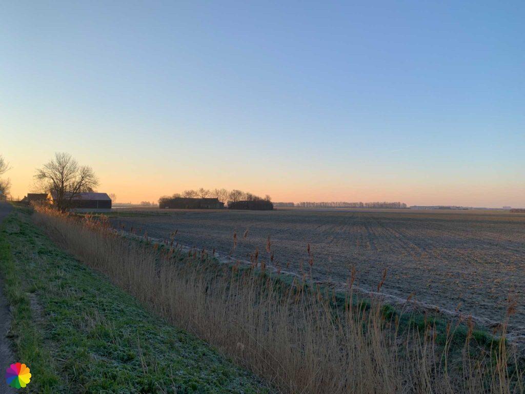
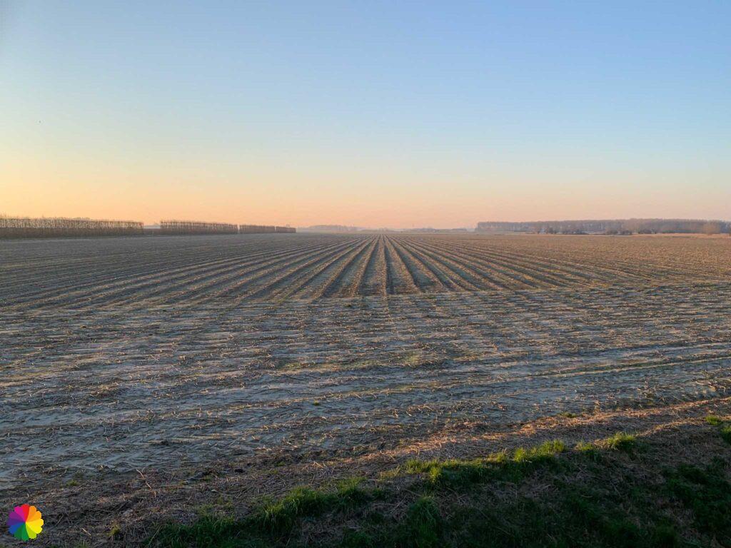
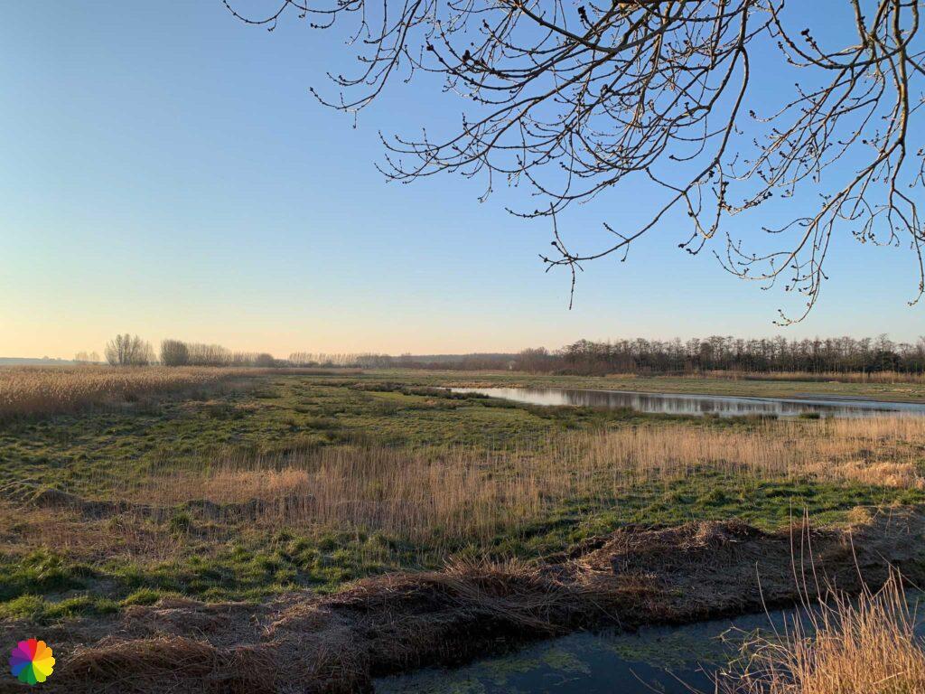
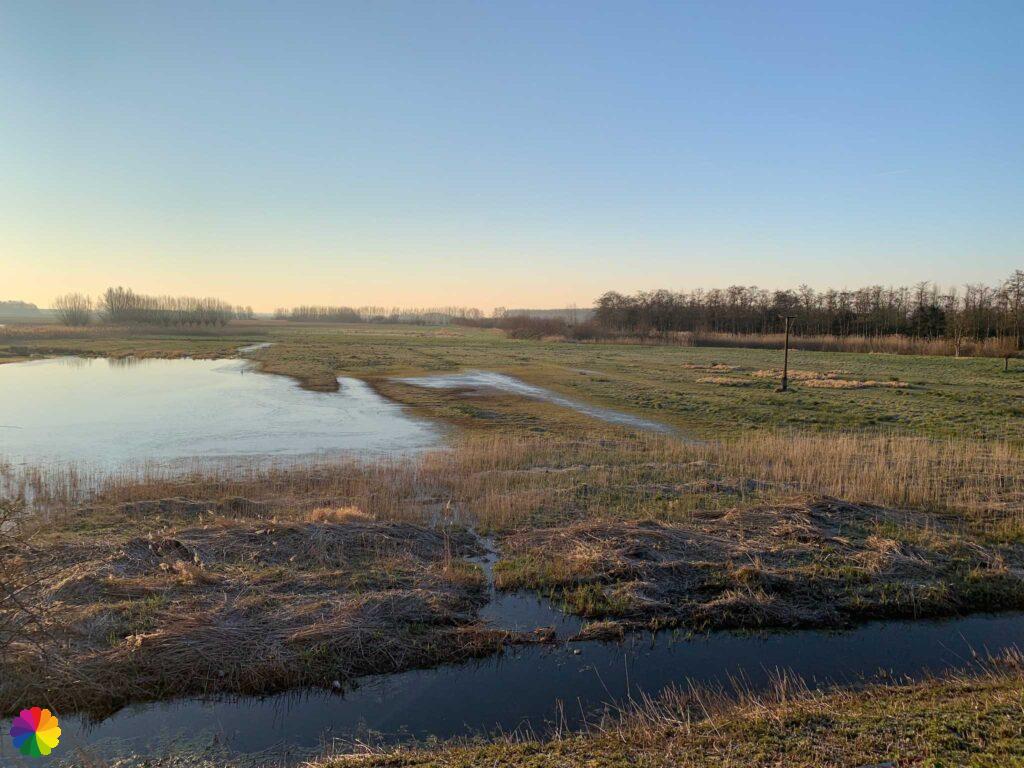
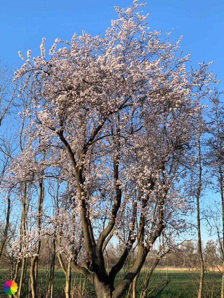
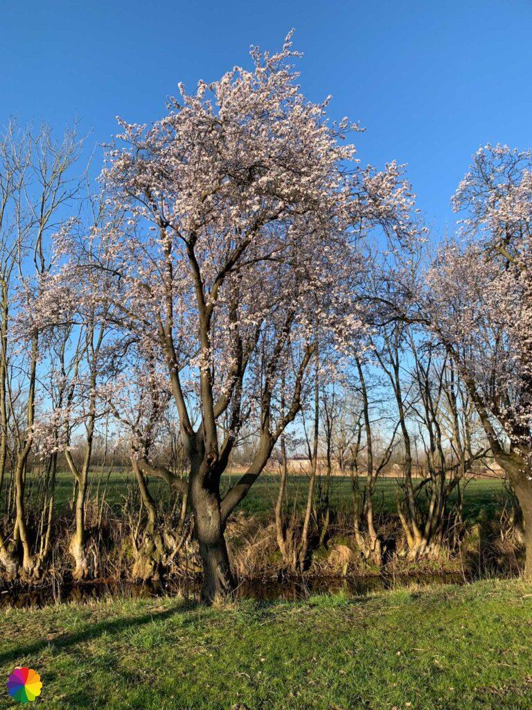
It is time to start the hike. I set off for Steenbergen. With the rising sun, I have a beautiful view over the farmlands. I even come across the first blossom of the year. My morning can’t go wrong and I have only just started!

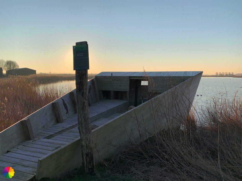
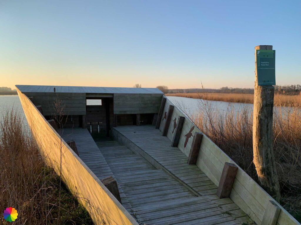
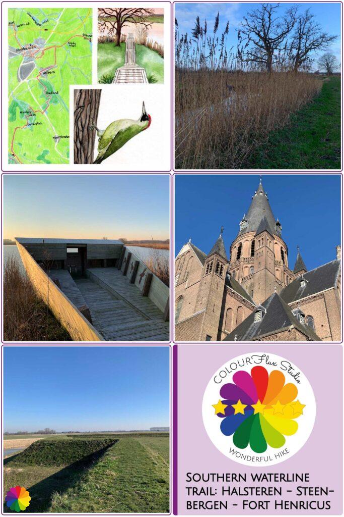
The second part of the off-trail outing is up: bird-watching hut the Roode Weel. The hut has an unusual shape and is located on a lake of the same name. The low sunlight makes it difficult to peer through the peepholes. There are some birds, but difficult to distinguish because of the bright light.

Steenbergen
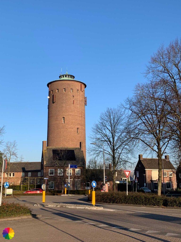
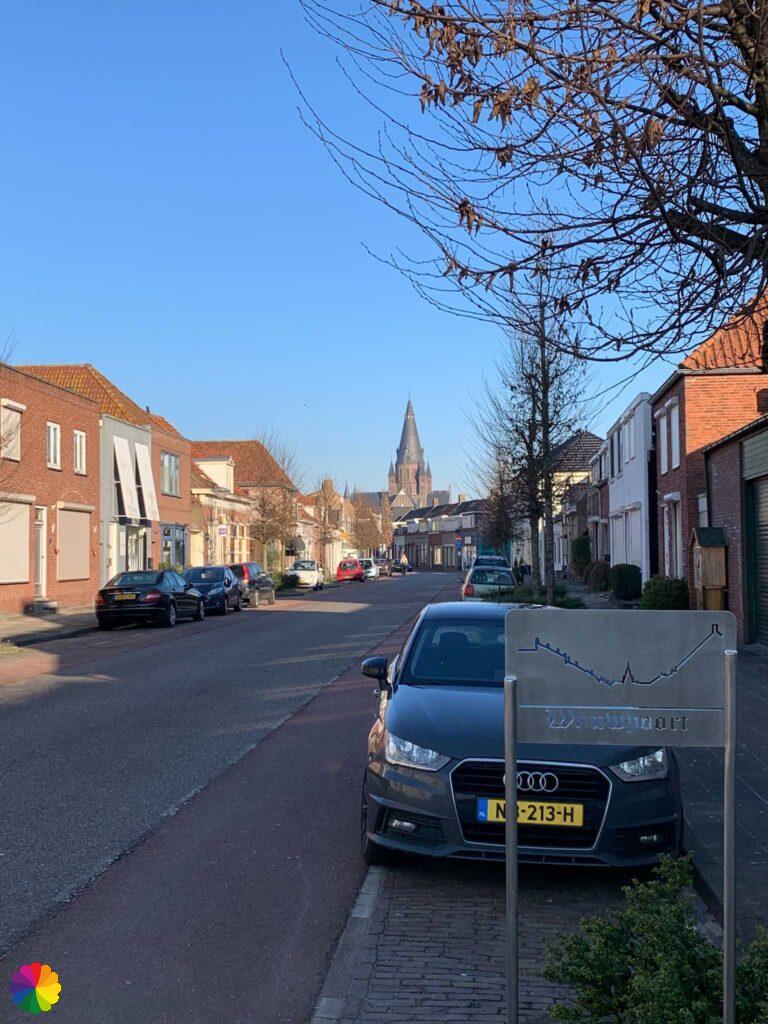
Now on to Steenbergen, easily spotted by the large St Gummarus church that you can see from far and wide. Half an hour later, I reach Steenbergen by the water tower. I first walk in the opposite direction around Steenbergen. There used to be a fortification wall here, now only recognisable by the zigzag shape of the road.
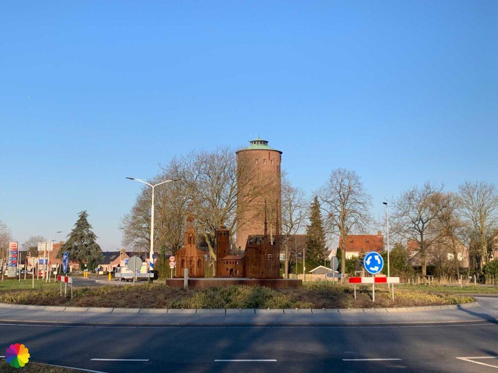
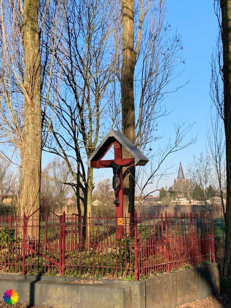
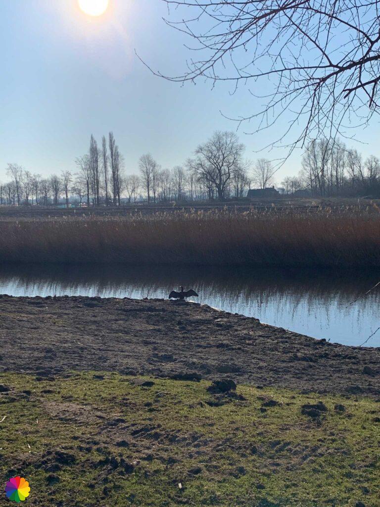
I pass a road cross with the St Gummarus church in the background. On the west side at the Wouwpoort, I enter Steenbergen. Via a small park, I walk back towards the trail. A cormorant is nicely drying its wings.
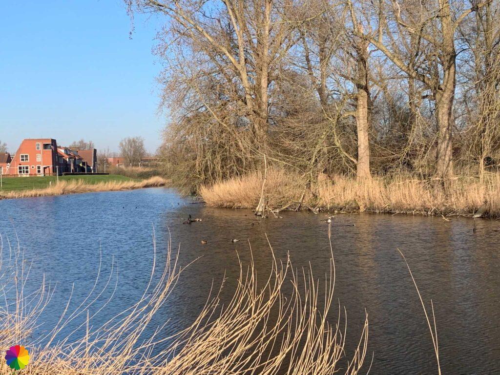
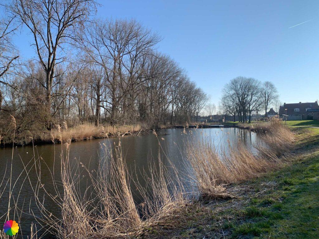
I am now walking in the right direction again. Once again I pass through a park, here too the zigzag shape of the Breede Watergang canal is a reminder that Steenbergen was once a fortified town. On a bench by the water I take a break. In a flash, I see something green fly by, followed by a laughing sound. From the sound I recognise the bird as a green woodpecker. This bird ‘chases’ me more often on walks. I hear the bird laughing, but I hardly see it.

This woodpecker species is olive green in colour with a red ‘cap’ and a black patch around the eye. Males also have a red patch under the eye. The green woodpecker is common in old deciduous forests, but nowadays also in recreational forests, city parks and sports parks.
The woodpecker nests from March to June and has one clutch of four to six eggs. Its nest is a carved hole in an old deciduous tree.

Source (in Dutch): Vogelbescherming
Other trail guide about the same region
I walk towards the centre of Steenbergen. The St Gummarus church can be seen throughout the hike and now I walk right past it. I also pass another church of a slightly more modest size.
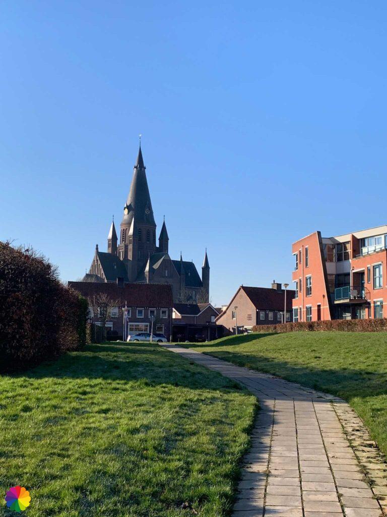
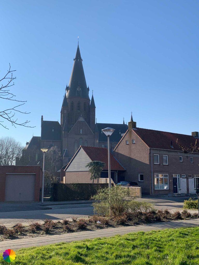
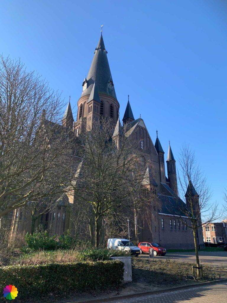
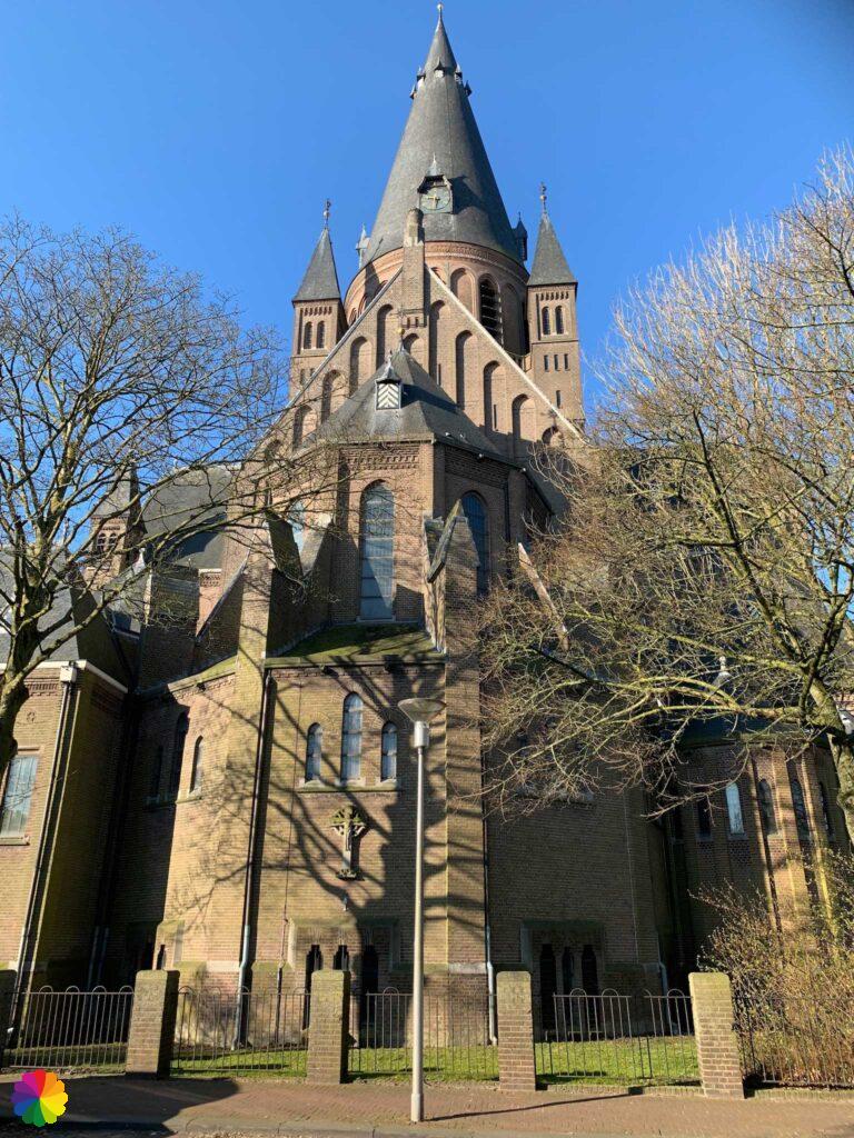
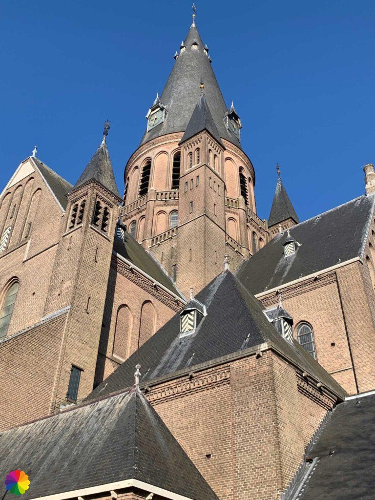
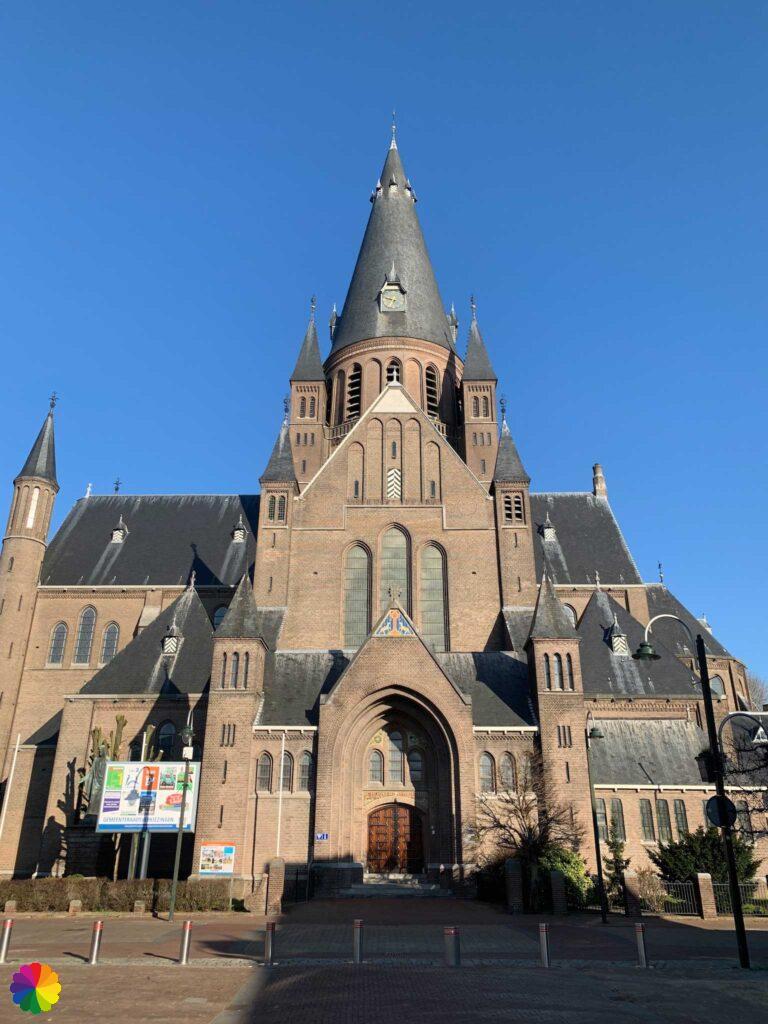
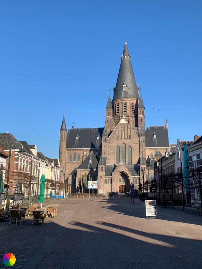
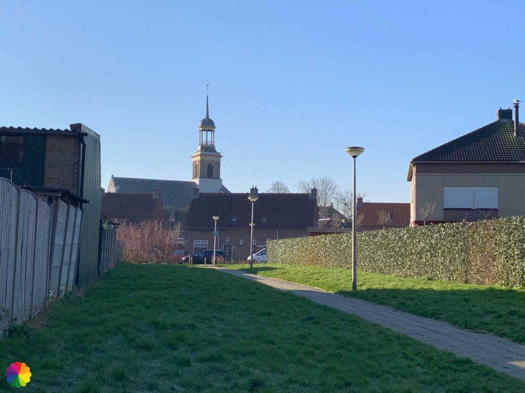
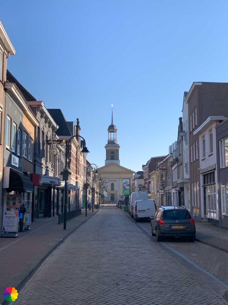
I walk right across the square in the city centre and stroll through pretty, old streets with beautiful houses. Just before I reach the Wouwpoort again, I turn right and pass through another park.

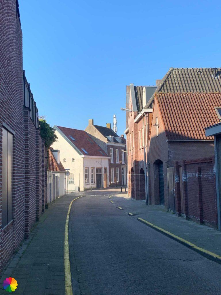
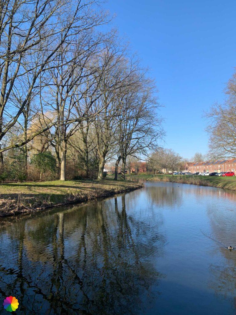
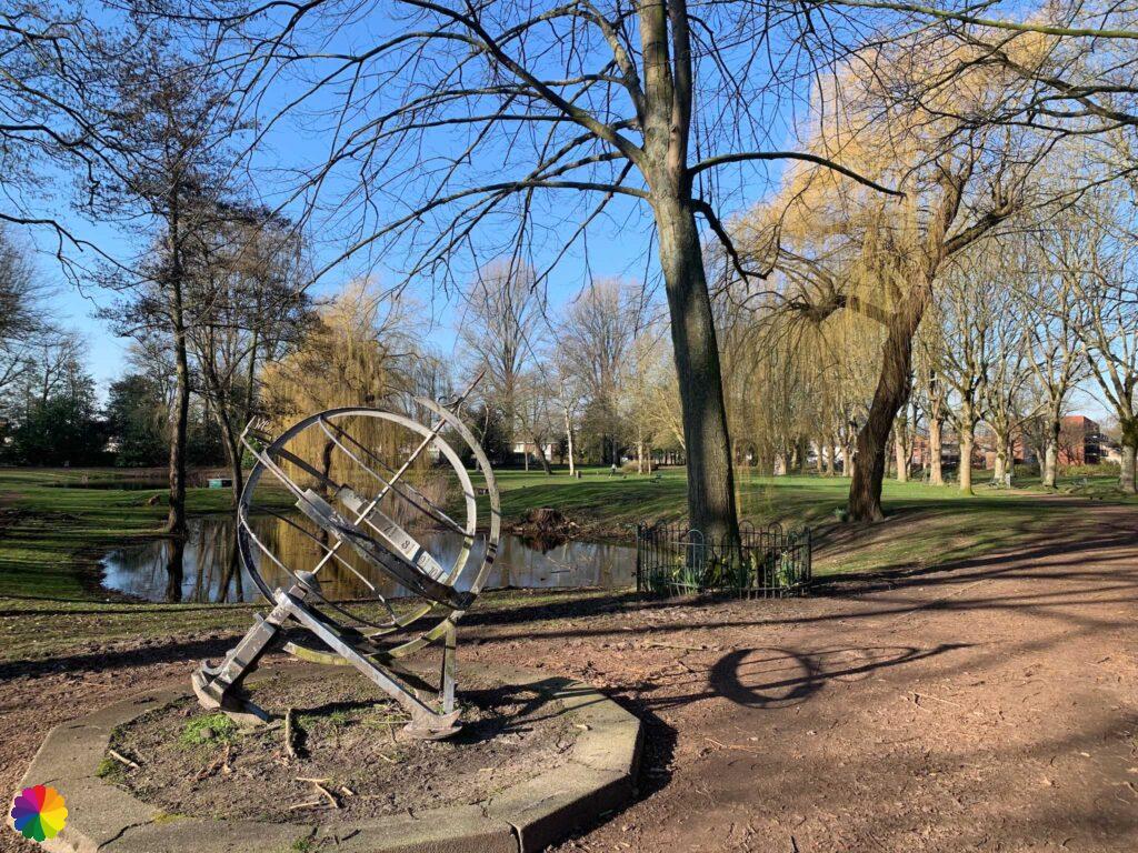
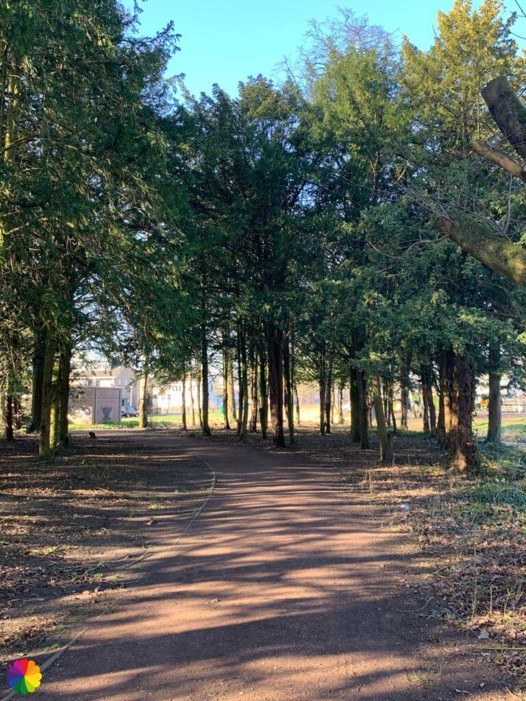
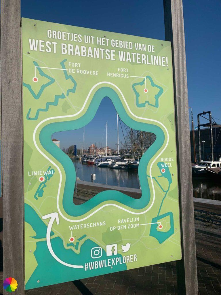
Steenbergen not only has many parks, but also a harbour and that is where I have arrived. There is an information panel about the West Brabant Waterline with the various fortifications found in this region.
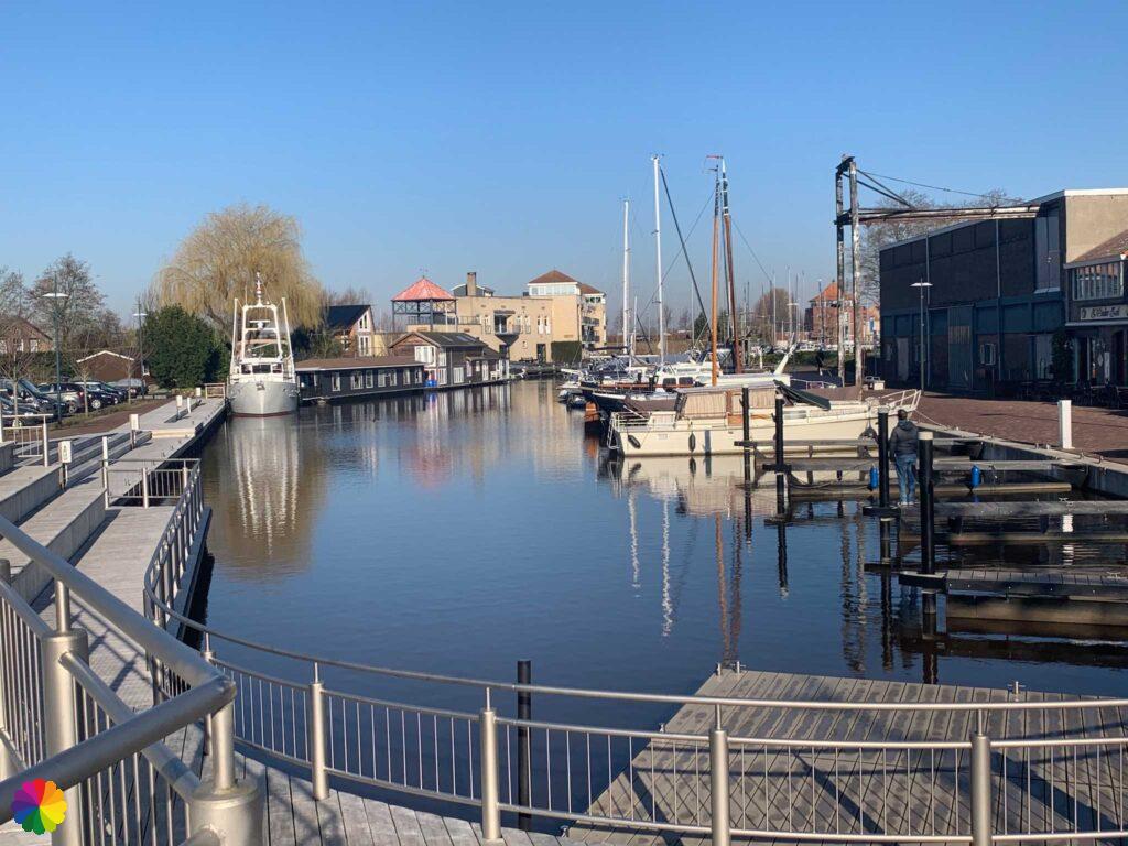
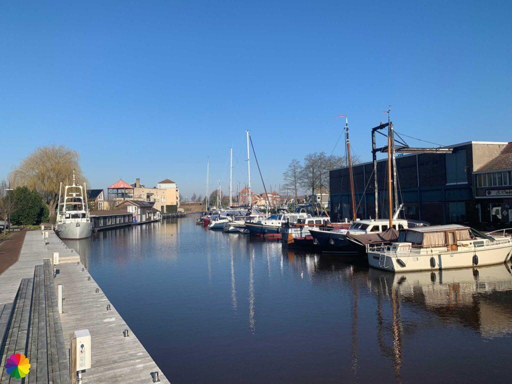
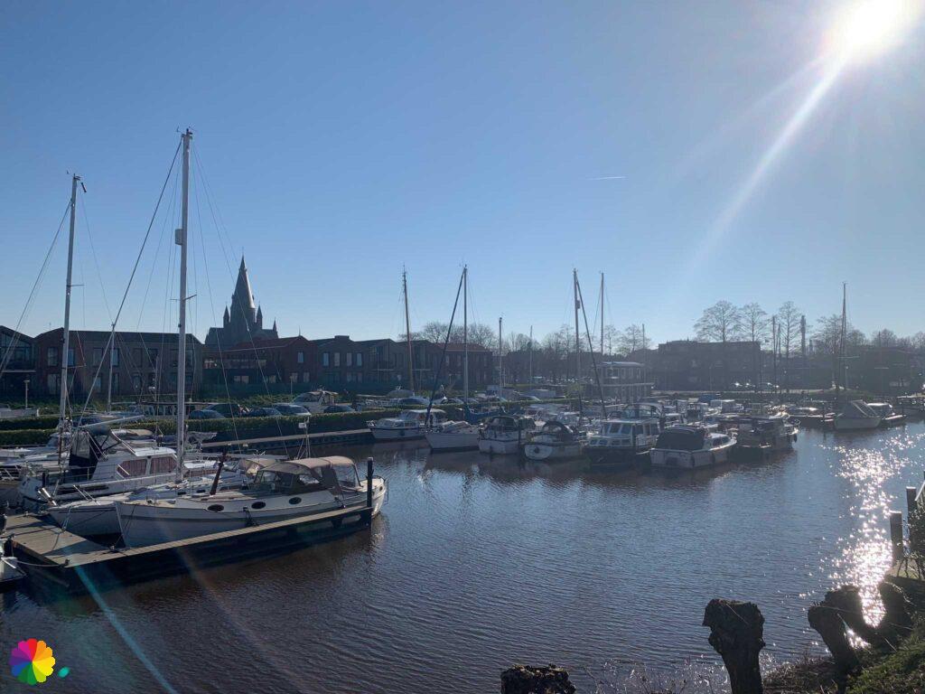

Fort Henricus
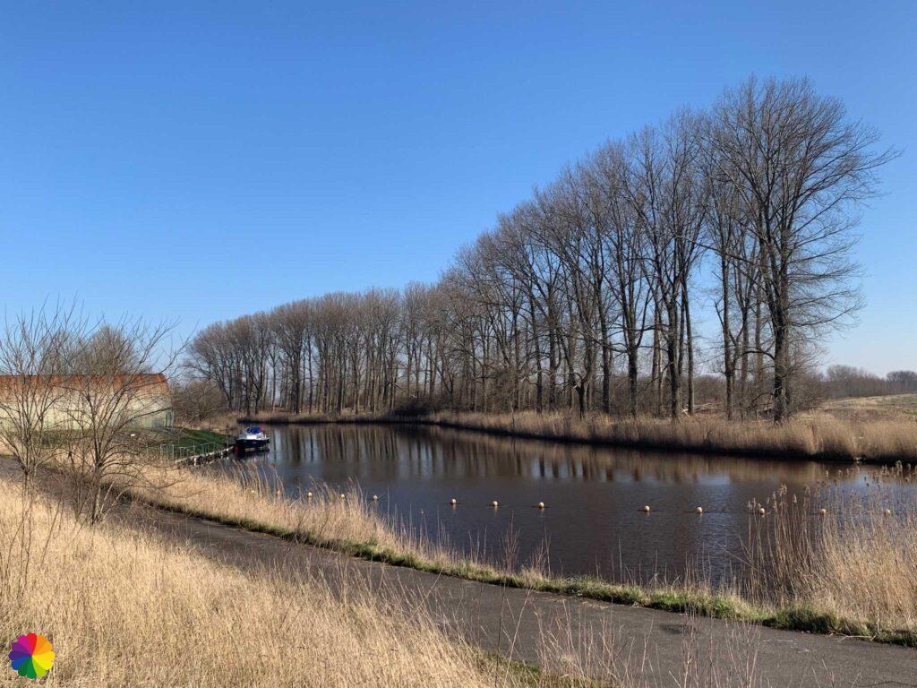
From the harbour, I walk in a straight line towards Fort Henricus. First through a residential area of Steenbergen and then a polder road. I have the Steenbergsche Vliet canal on my right the whole time.
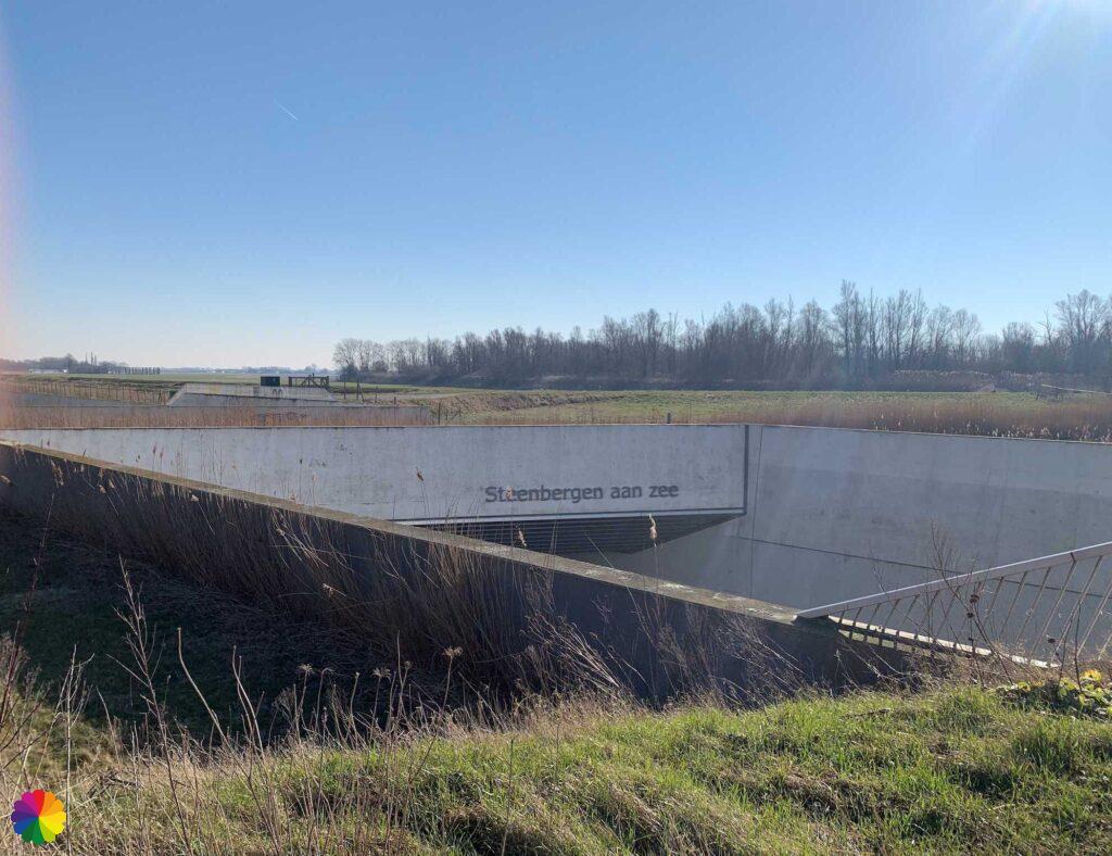
In the distance, I see a fence with a yellow sign of Natuurmonumenten. I am curious and go to look at the fence, but it turns out to be Fort Henricus already. The fence is open and I can just go in.

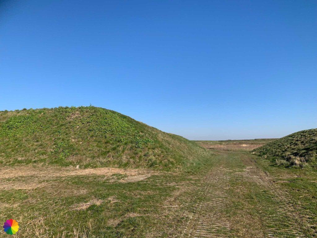
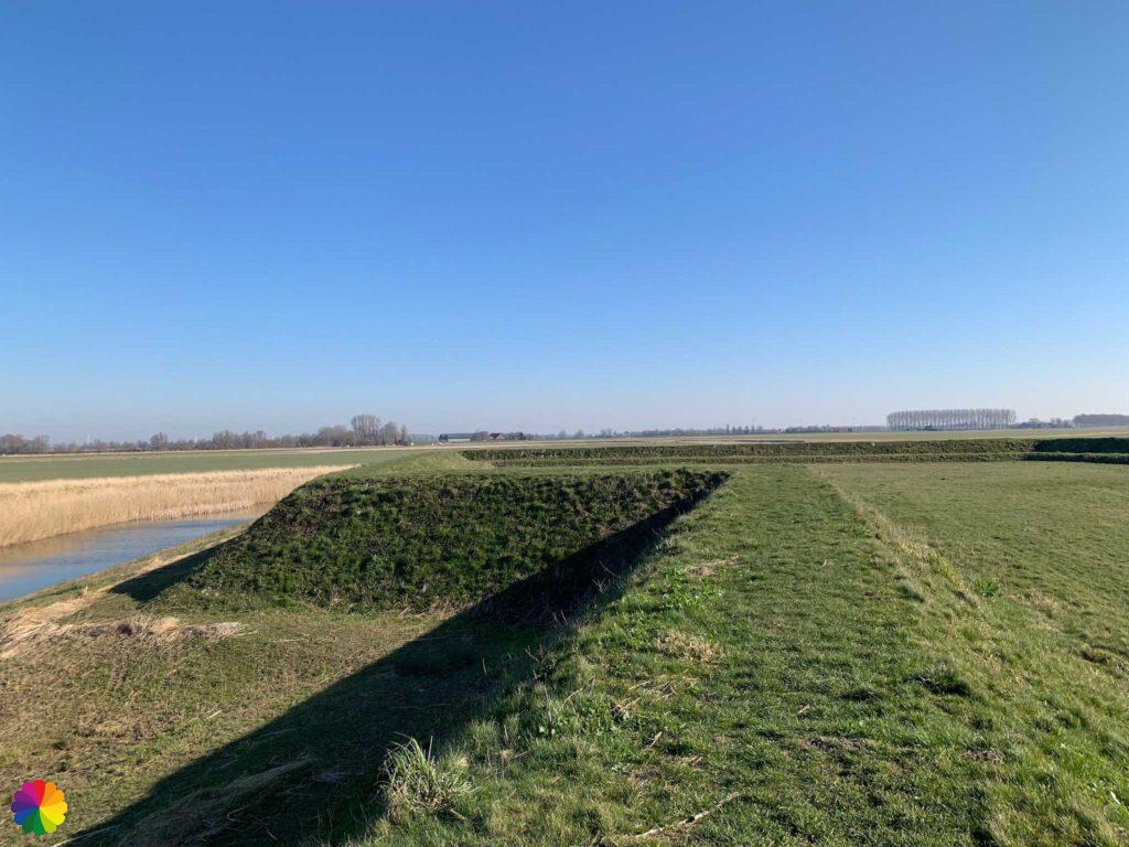

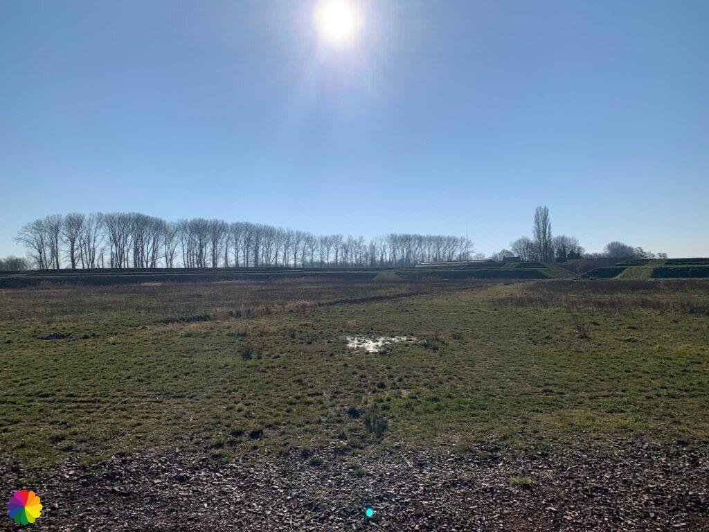
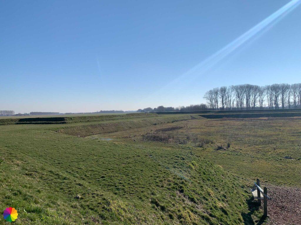
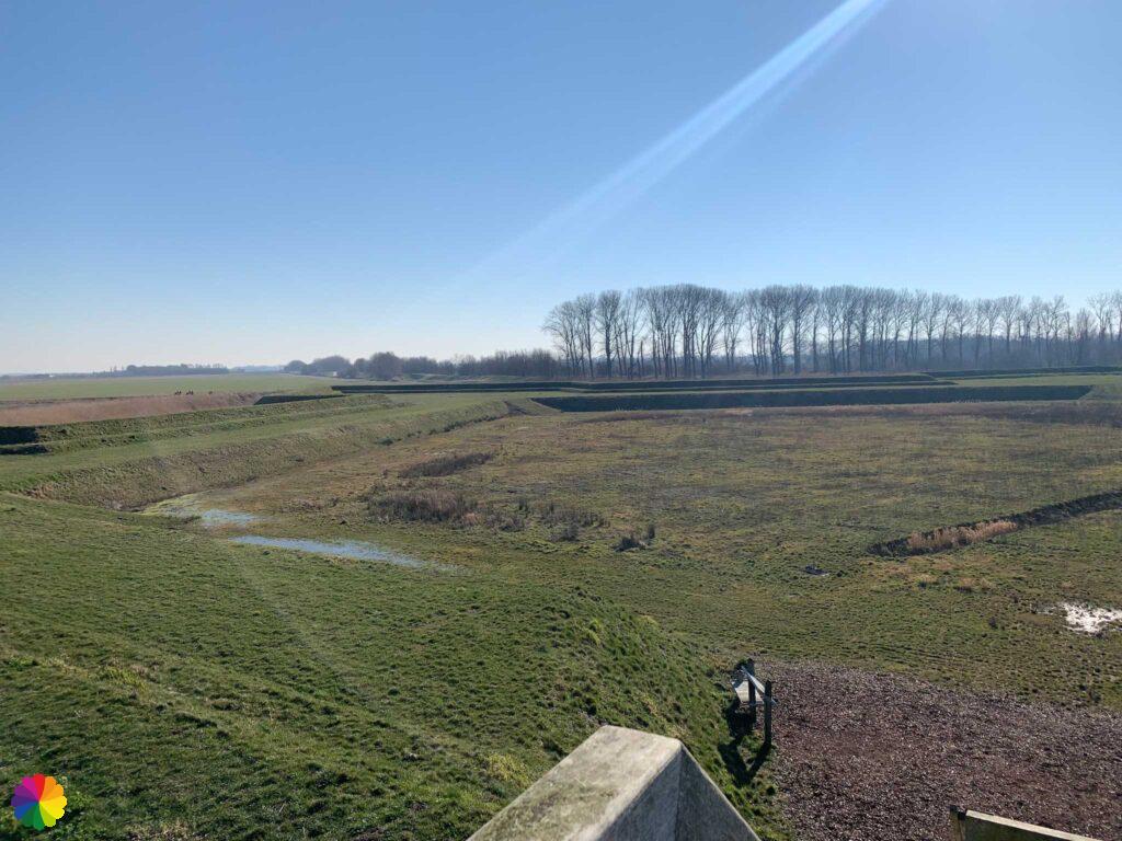
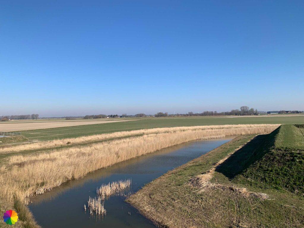
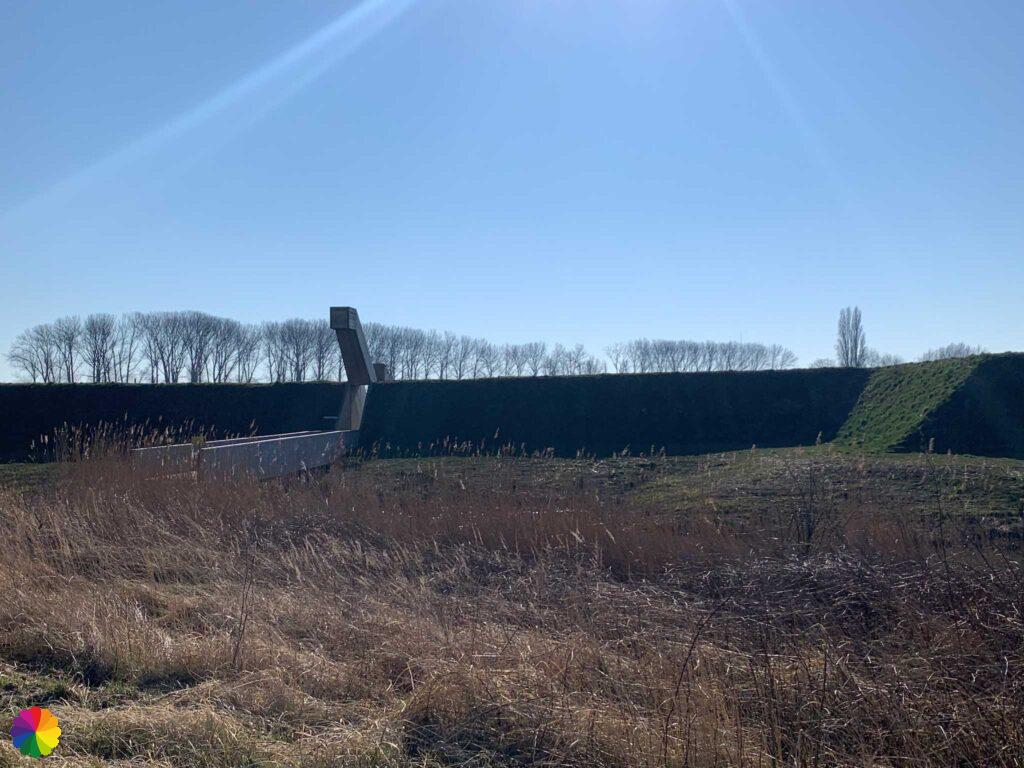
Fort Henricus is part of the West Brabant Waterline and was built to defend Steenbergen’s harbour and sluice. Several years ago, the contours of the fort were completely reconstructed. From above, you can see that the fort has the well-known star shape.
Source (in Dutch): Zuiderwaterlinie
I walk straight through the fort towards an observation tower. The tower has two platforms from which you can view the entire reconstructed fort. I find it very special to see the contours of such a fort. Truly an idyllic spot in the middle of the polder. Too bad it is so difficult to reach by public transport, otherwise I would definitely go there more often.

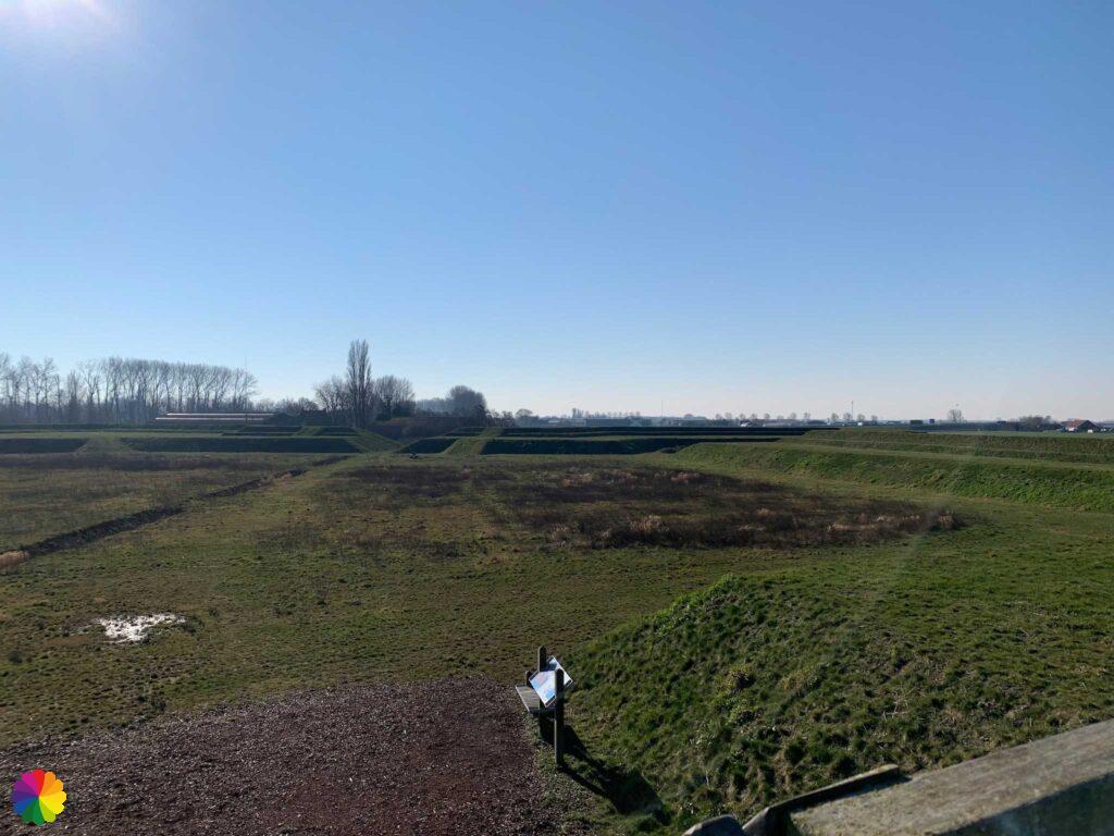


The trail continues along a grassy path along the Steenbergsche Vliet to the town of De Heen. There is also the nearest bus stop. But the bus is already leaving in half an hour and otherwise I have to wait 1.5 hours for the next one. I decide to skip the grassy path and walk along the paved road to De Heen. In 20 minutes I am in De Heen and I can just about catch my bus.
Final thoughts
Another wonderful hike on the Southern Waterline trail! I did not expect this to be a wonderful hike (in two parts). The Halster Laag and the Oudland forest are surprisingly nice nature reserves. I wouldn’t have wanted to miss the trip to Blauwe Sluis, especially with the beautiful pink sunrise.
In addition, Steenbergen is a nice town to visit with the large St Gummarus church as its centrepiece. The visit to Fort Henricus is a great end to the hike.
More info:
Trail: Section 1 and Section 2 Southern Waterline trailWhere: from Halsteren to Steenbergen and Fort Henricus, Noord-Brabant, the Netherlands.
No. of km: +/- 13 en 14 km
Hiking date: 25 februari and 4 March 2022
Materials used in illustrations: Coloured pencils for the map and watercolour paints for the illustrations
Rating: ⭐⭐⭐⭐⭐
Pin this hike
Would you like to do this wonderful hike as well? Pin this hike on Pinterest to save for later!
More spectacular sunrises
ColourFlux Studio makes use of so-called affiliate links. If you buy a product through the link in an advertisement, ColourFlux Studio receives a small amount. There are no additional costs for the buyer.
Back to Blog.
