This time my hike goes according to plan. I start at the Erasmus Bridge and go through various neighbourhoods in the South part of Rotterdam to the residential area of Smitshoek. The Erasmus trail still runs as far as the Oude Maas, but I will save the last part for next time.
The convenient thing about long-distance hikes is that you can decide for yourself how far you walk the trail. You do have to find out for yourself what the best option is with regard to public transport. On the way back I choose to take the tram from Carnisselande and stay in the tram until close to home. That’s for later, first go on with the hike!
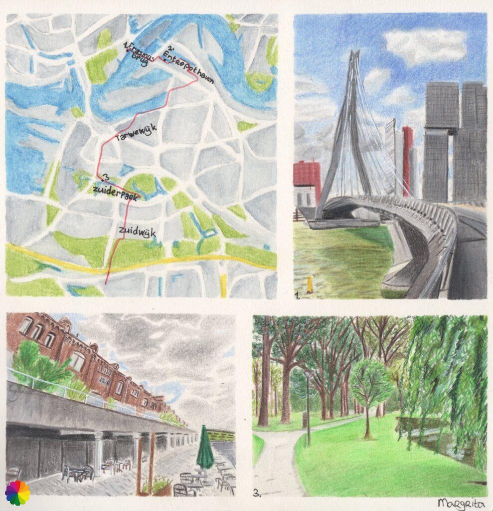
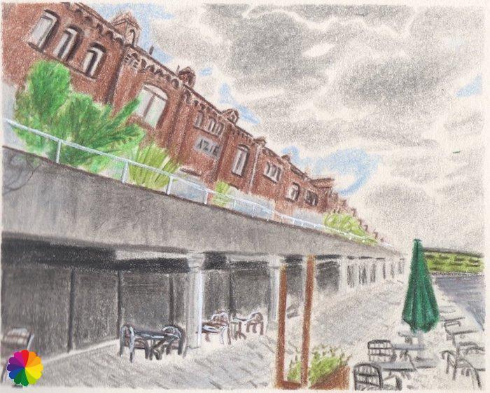
Entrepothaven
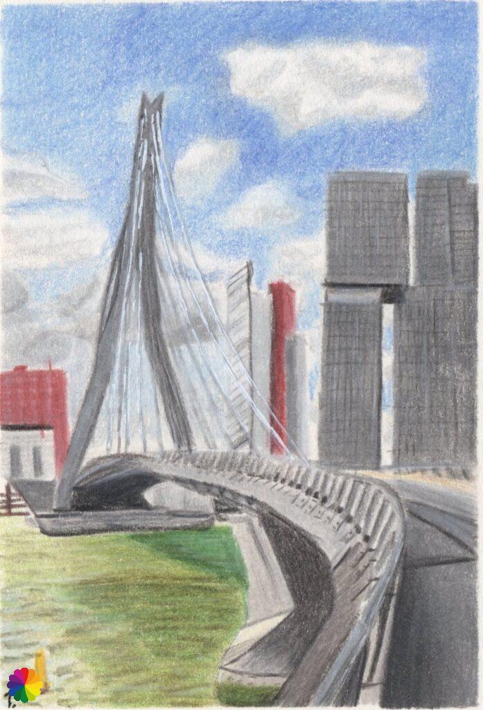
In my previous blog post, I had already taken several photos of the Erasmus Bridge. This time I made an illustration of the bridge, which is also called the Swan. The sky is of a nice blue colour, but a splash of rain is expected today. Luckily I walk through the city and I can take shelter when it starts raining.
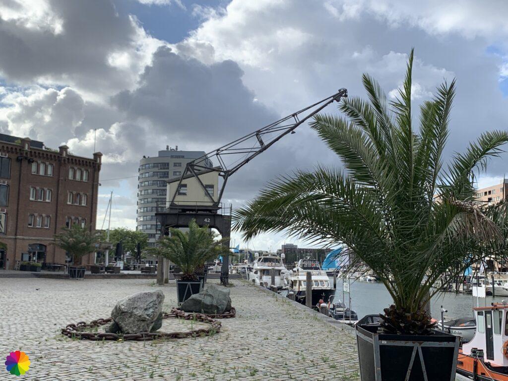
I cross the Erasmus bridge and turn left immediately after the bridge. I walk past the tall office buildings, then go under the Poortgebouw and arrive at the Entrepothaven. I walk through the marina and pass the Entrepot building where several restaurants are located. In the evening this seems like a cosy spot, now it is still early and everything is closed.

I walk through the marina and suddenly it starts raining. For a moment I find some shelter. The rain is brief and I continue on the Oranjestraat. Then I turn right and walk via Vuurplaat to the Brede Hilledijk. I walk over the dike until metro Rijnhaven and turn left there.
Tarwebuurt
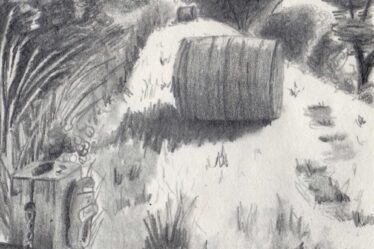
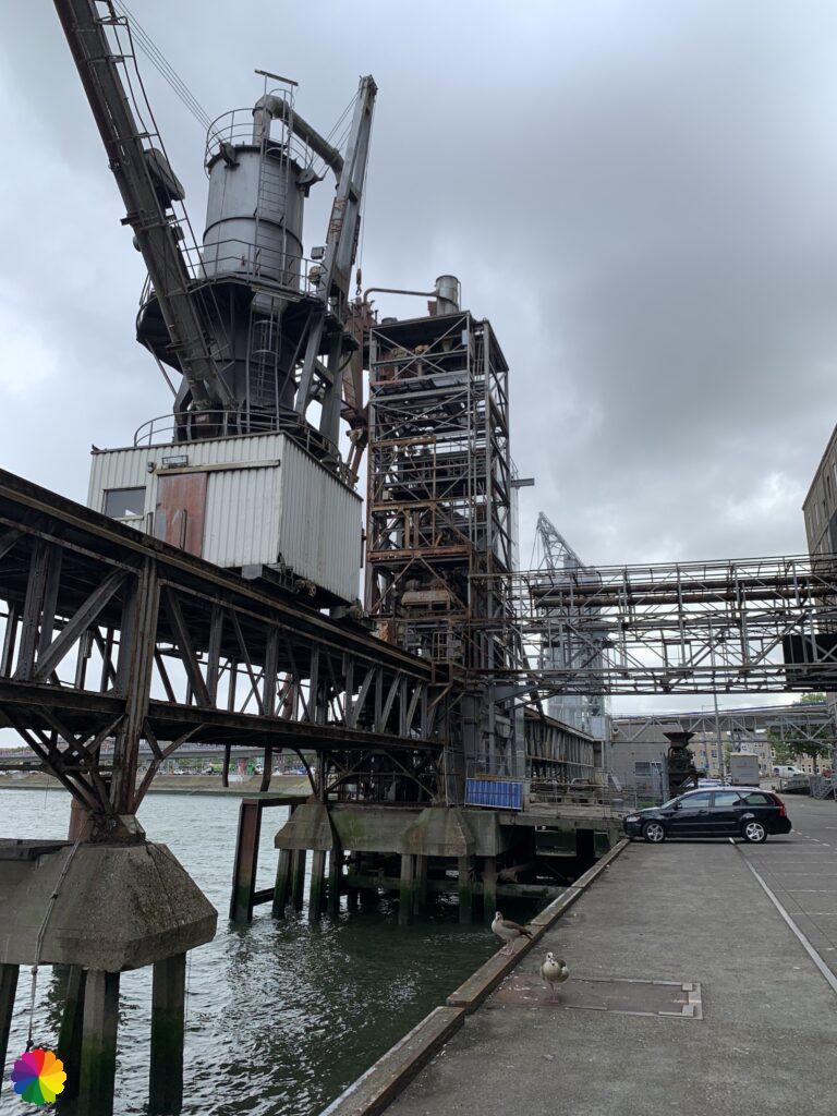
I eventually arrive at the Maashaven and the Maassilo, a former grain silo and now an event location. I have to go behind the Maassilo past where trucks come and go.

I walk along the water until I can’t go any further and turn left. I cross the road and walk right over the dike of the Brielselaan. Then I go along the Wolphaertsbocht. I walk in the Tarwebuurt (Grain neighbourhood), which is a less pleasant part of the trail. There are many old, run-down houses. I turn left into the Lepelaarssingel. Most of the canals in Rotterdam are beautiful and well maintained. Unfortunately there is a lot of plastic and other rubbish in this canal. But maybe it happens to be a poor day. Not worth taking pictures of now. I go on quickly and at the end of the canal I reach the Zuiderpark.
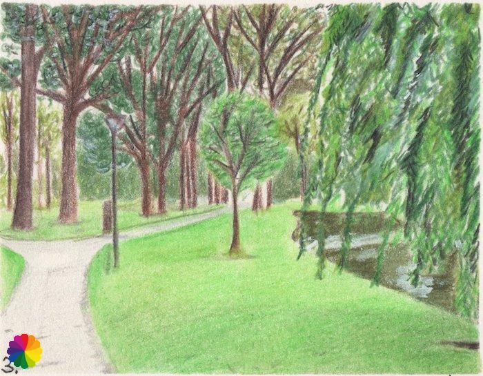
Zuiderpark
The Zuiderpark is a huge park, it is even the largest city park in the Netherlands.
Sources: Rotterdam parks and Wikipedia (in Dutch).
The first part of the park straight ahead is what you expect from a park: footpaths, grass, trees and ponds. Quickly there are more trees and it looks more like a forest. I arrive at the large pond in the middle of the park. I can hardly see the pond because of the reed collars on the side. I turn left and walk along the reed for a quite a while. On my left are the allotments.

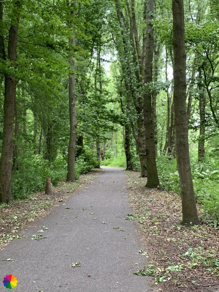
I cross the Zuiderparkweg and walk through a piece of forest. I end up in the Zuidwijk district, also a lesser district to walk through. A drunk man sits on a bench talking to himself. My trail goes right past him, I decide to avoid him and go through a different street. After a few more streets I’m at the end of the district and also at the end of the city of Rotterdam.
Smitshoek
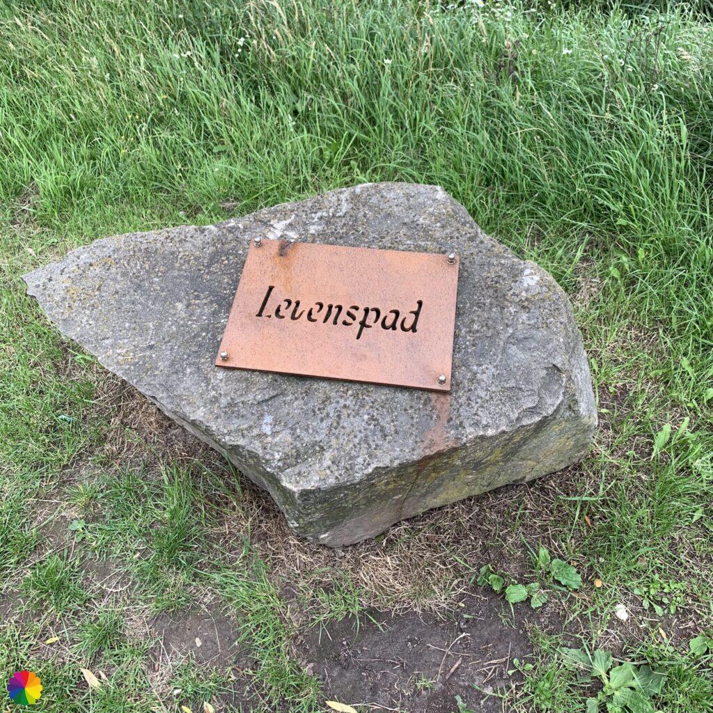
I am now walking along the Smitshoekseweg with majestic houses and driveways. Here I cross the Havenspoorpad, a green strip on the outskirts of Rotterdam. I see a boulder with Levenspad (Life path) on it. At home I look up what the Levenspad actually means.
Along the path there are now three information panels and boulders with Levenspad on them. Near the special pollard willows there is a tile with a number. And on the information panels are the names of the loved ones with the number of the corresponding pollard willow.
Source (in Dutch): Levenspad.net
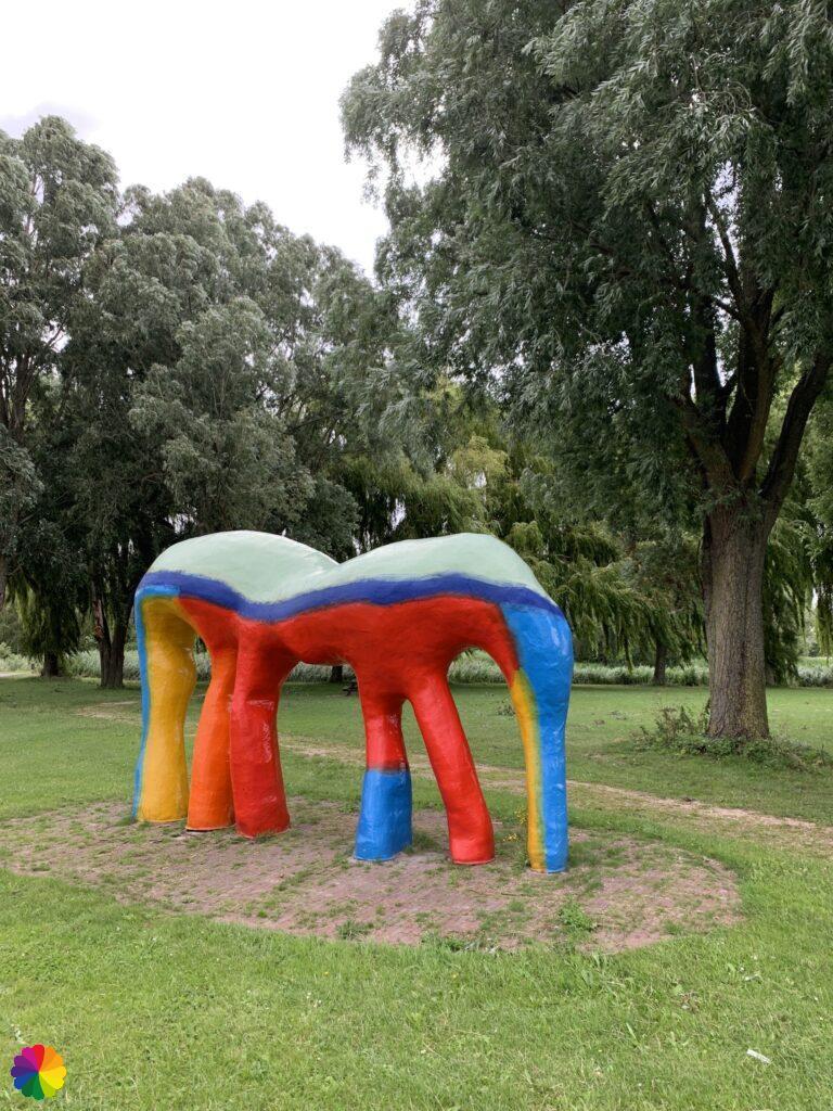
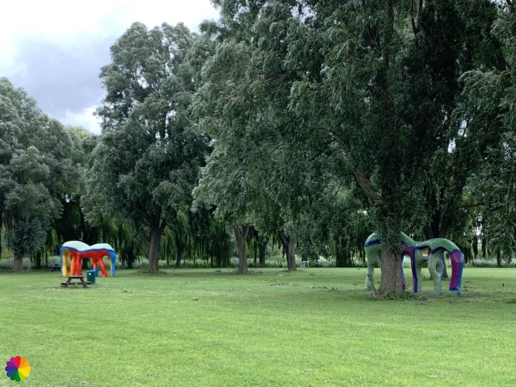
I go further on the Smitshoekseweg and arrive at a park with two abstract elephant statues.

Other trail guide about Rotterdam
The last part I walk along the water connection between the Zuiderpark and the Zuidpolder of Barendrecht which is called the Blauwe verbinding (source: rotterdam.nl). I read on an information panel that this is a recreational waterway which you can cruise through with canoes, rowing boats and whisper boats. The waterway runs via a water tank under the highway.
I stop my hike at the corner of the Heulweg and the Voordijk near the residential area of Smitshoek. From here it is a few km walk to the tram in Carnisselande, which takes me straight home.
Final thoughts
This part of the Erasmus trail through the South part of Rotterdam is considerably less interesting than the first part. I liked the section through the marina and the Zuiderpark, but there are also lesser sections through the Tarwebuurt and Zuidwijk. But maybe I’m a bit prejudiced, because I live in the North part of Rotterdam. I also think it’s a pity that the Kop van Zuid and Katendrecht have been skipped. I personally find that a nice place to walk. So a two star rating for the trail this time.
More info:
Trail: Section 20 Long distance trail 6 Great rivers trail, Variant B Erasmus trail.Wherr: from the Erasmus bridge, Rotterdam to Smitshoek, Zuid-Holland in The Netherlands.
No. of km: +/- 11 km
Hiking date: 6 July 2020
Materials used in illustrations: Inktense pencils and coloured pencils
Rating: ⭐⭐
ColourFlux Studio makes use of so-called affiliate links. If you buy a product through the link in an advertisement, ColourFlux Studio receives a small amount. There are no additional costs for the buyer.
Back to Blog