Today I have a second chance to photograph the windmills of Kinderdijk at sunrise. But the day before I already saw from the weather forecast that it was not going to happen this time either. In retrospect, I should have gone a week later, believe me, then the sunrise would have been fairy-tale like. But this is for next time. Now on to this hike: this one goes from Kinderdijk to the Loetbos, north of Lekkerkerk in the Netherlands. Because I was curious to see the Bakkerswaal duck decoy with bird watching screen, I added an extra roundtrip through the Krimpenerwaard.
To the Kinderdijk windmills from Alblasserdam
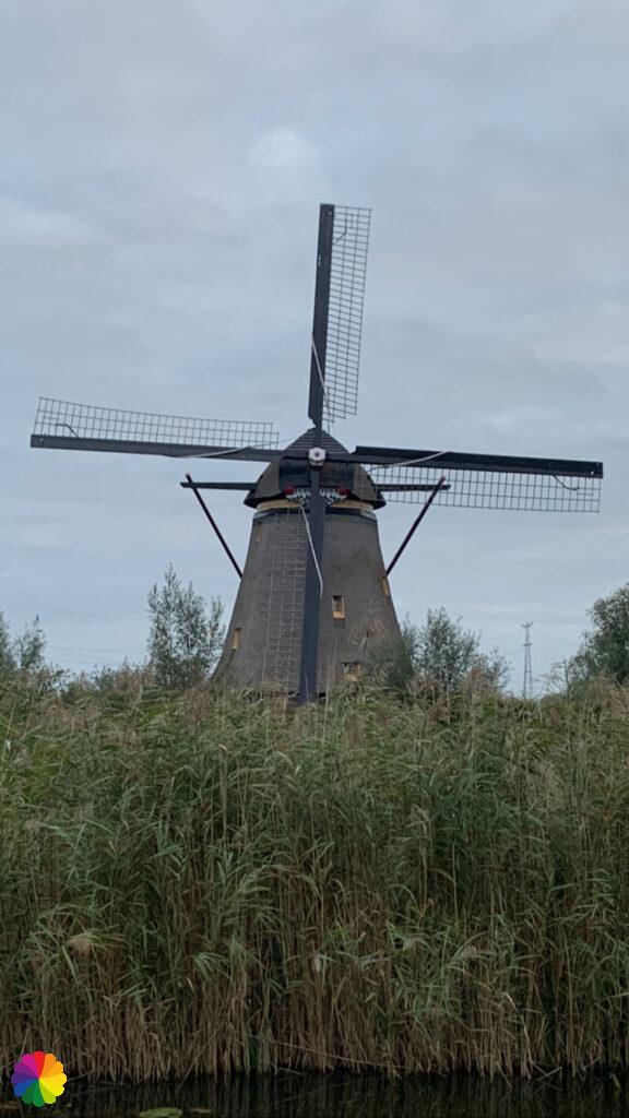
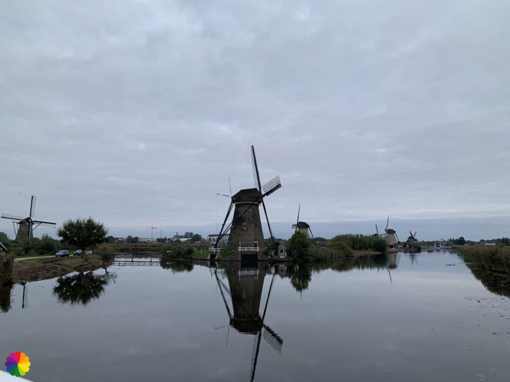
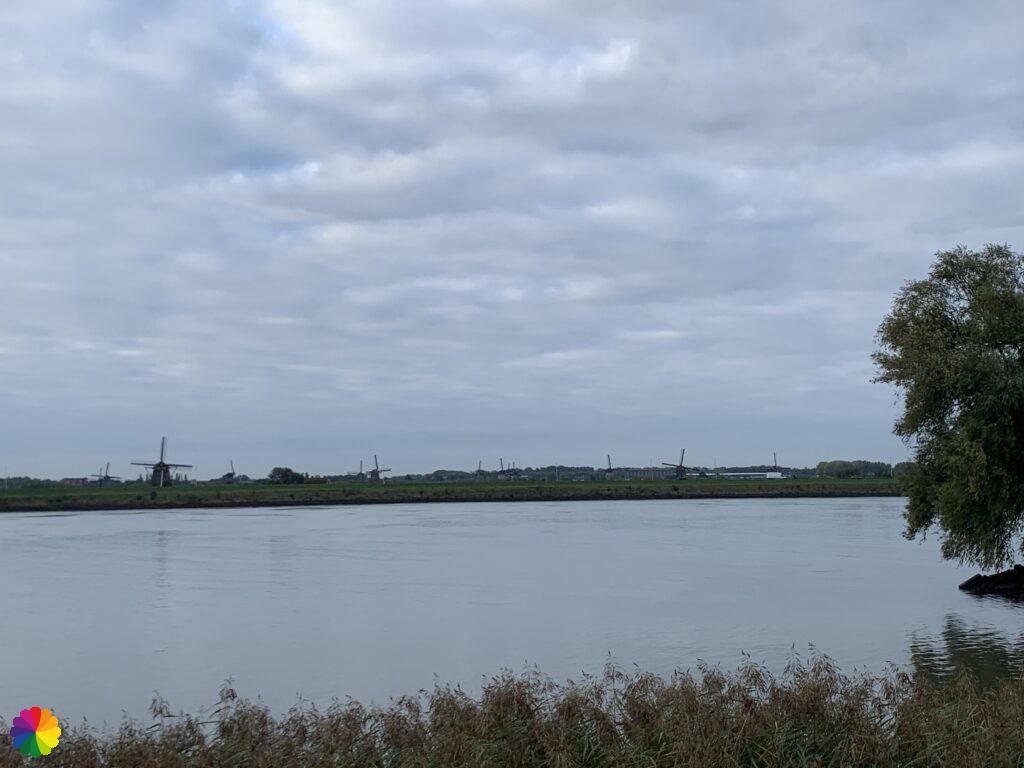
This time, I will approach the windmills from the side of Alblasserdam. In Alblasserdam, I get off at the nearest bus stop to the windmills. I wait until it gets lighter. Just like last time, it is still dark.
I see no flocks of starlings, nor any starlings sitting on a windmill, as on my previous hike. I do see a red sun in the distance between the clouds, but I can’t get a good photo of it. It is cloudy again. I’m not very lucky to see a beautiful sunrise.
I have another chance for a sunrise photo shoot with other famous windmills of the Zaanse Schans. Unfortunately, I will not be able to travel there by train anytime soon, due to stricter lockdown measures.
As I write this blog, it is spring and I have been to the Zaanse Schans, and I have got the sunrise photos! The blog about the Zaanse Schans has now been completed. I’m about six months behind chronologically, but I’m trying to catch up by following trails I’m not going to write about. And partly because of the lockdown, I stayed in Rotterdam for the winter (in 2021). I hope to catch up one day, but don’t count on it.
Other trail guide about the same region
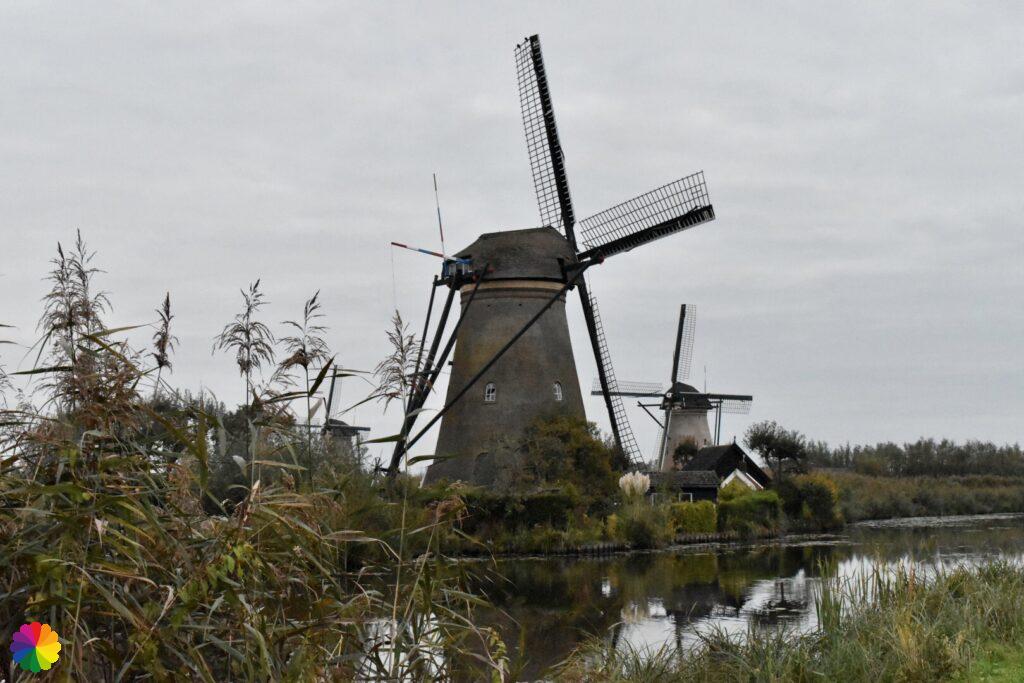
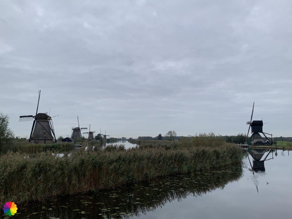
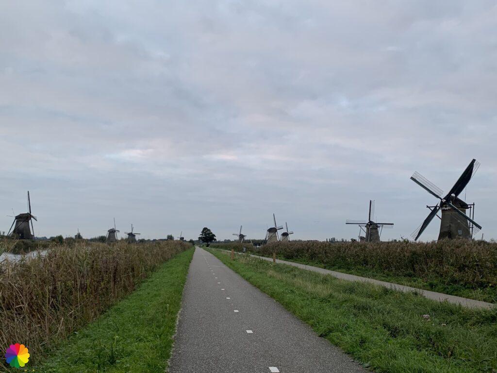
But anyway, back to this hike. This time I go a little faster along the windmills. If you want to see lots of photos of the mills, check my previous blog post. When I look back at the photos from the second time, they are not as beautiful. The sails of the mills near the Overwaard river are not neatly in the same direction either.
Great haste makes great waste
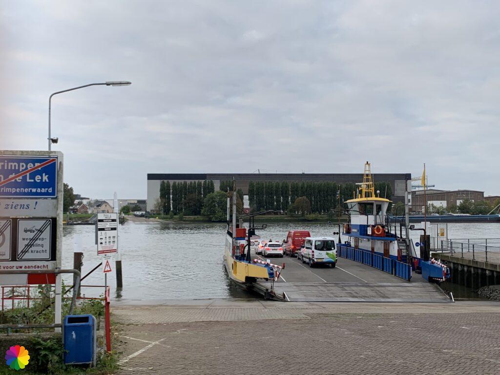
At the visitors’ centre, I store my camera and continue the trail. I now have to go to the ferry to get to the other side of the Lek river. I looked up the departure times of the three point ferry (between Kinderdijk, Krimpen aan de Lek and Ridderkerk) beforehand and had to hurry a little to catch the next one.Fortunately, I am on time at the dock, there is already a boy waiting with a bicycle. Suddenly, I see that this is not the three point ferry, but the stop of the water bus. Oh no, this is not right! I look in the trail guide and see that I have to walk a bit through the town of Kinderdijk. I really have to hurry now to catch the ferry. I have to wait half an hour for the next one. I walk along quite a nice path through Kinderdijk and see nice houses flashing by, but I don’t have time to look around and take photos. I can see the ferry coming towards Kinderdijk in the distance.
Out of breath and with my face mask half on my face, I reach the ferry just in time. When I get on the ferry, it goes straight to the other side. By the way, I didn’t need my face mask in the open air. Once on the other side, I take a break on a small wall. I see the ferry leave for the other side immediately. I thought that it would only continue later, or at least in the direction of Ridderkerk. Afterwards, it turns out that, in addition to the three point ferry, there is also a normal two-way ferry between Kinderdijk and Krimpen aan de Lek. So not in such a hurry at all. The stop for the three point ferry also turns out to be next to this stop and I totally overlooked it. How difficult I sometimes make things for myself!
Duck decoy Bakkerswaal
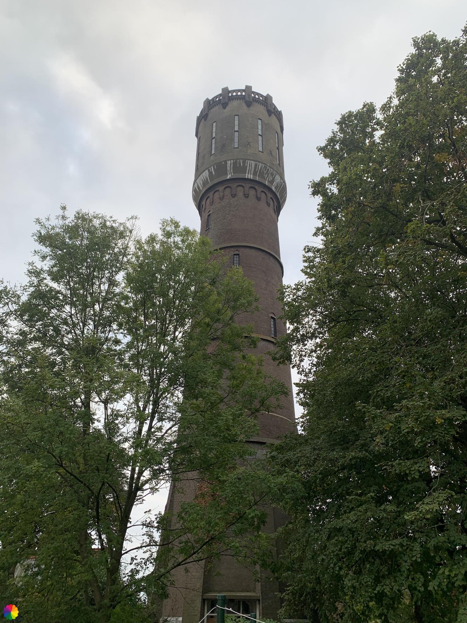
After my break, I continue the trail through Krimpen aan de Lek. I turn right on the Rijsdijk. I pass houses behind the dike on the left and a water tower on the right.
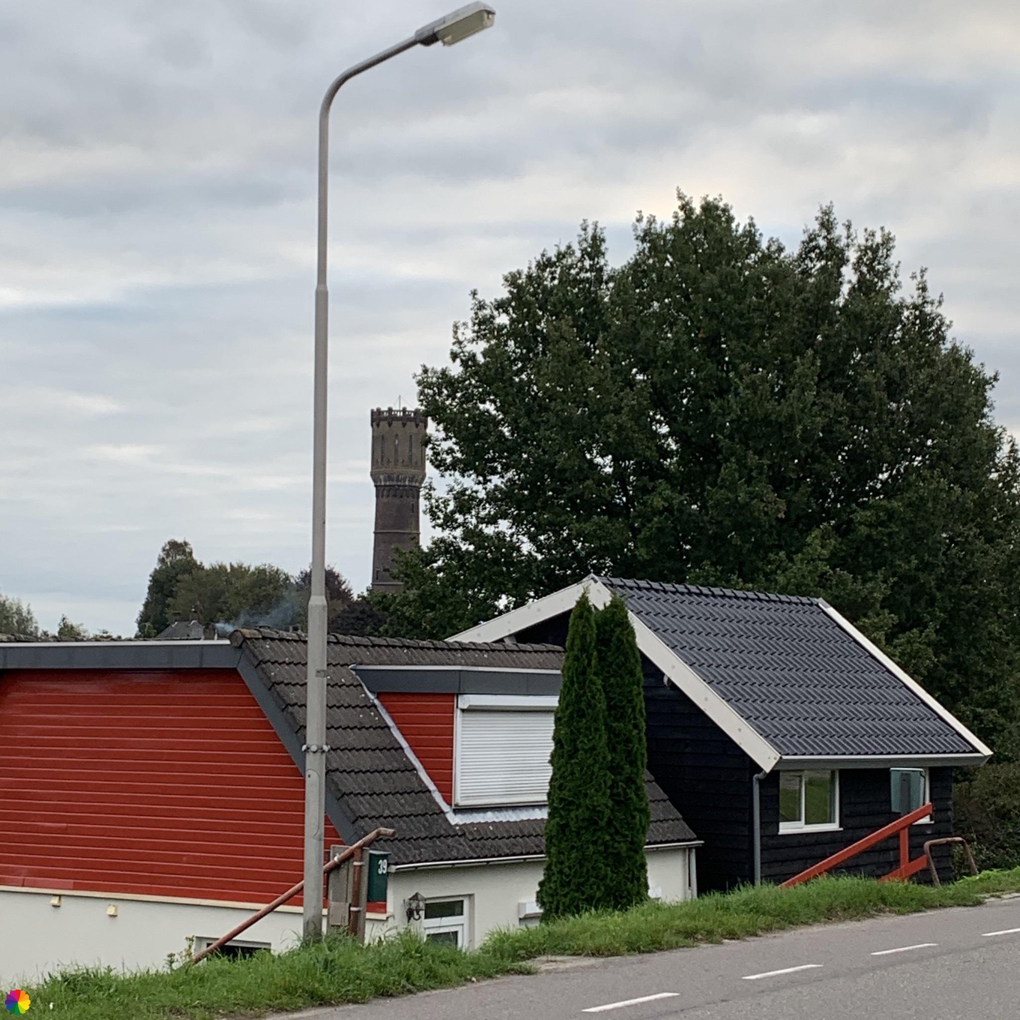
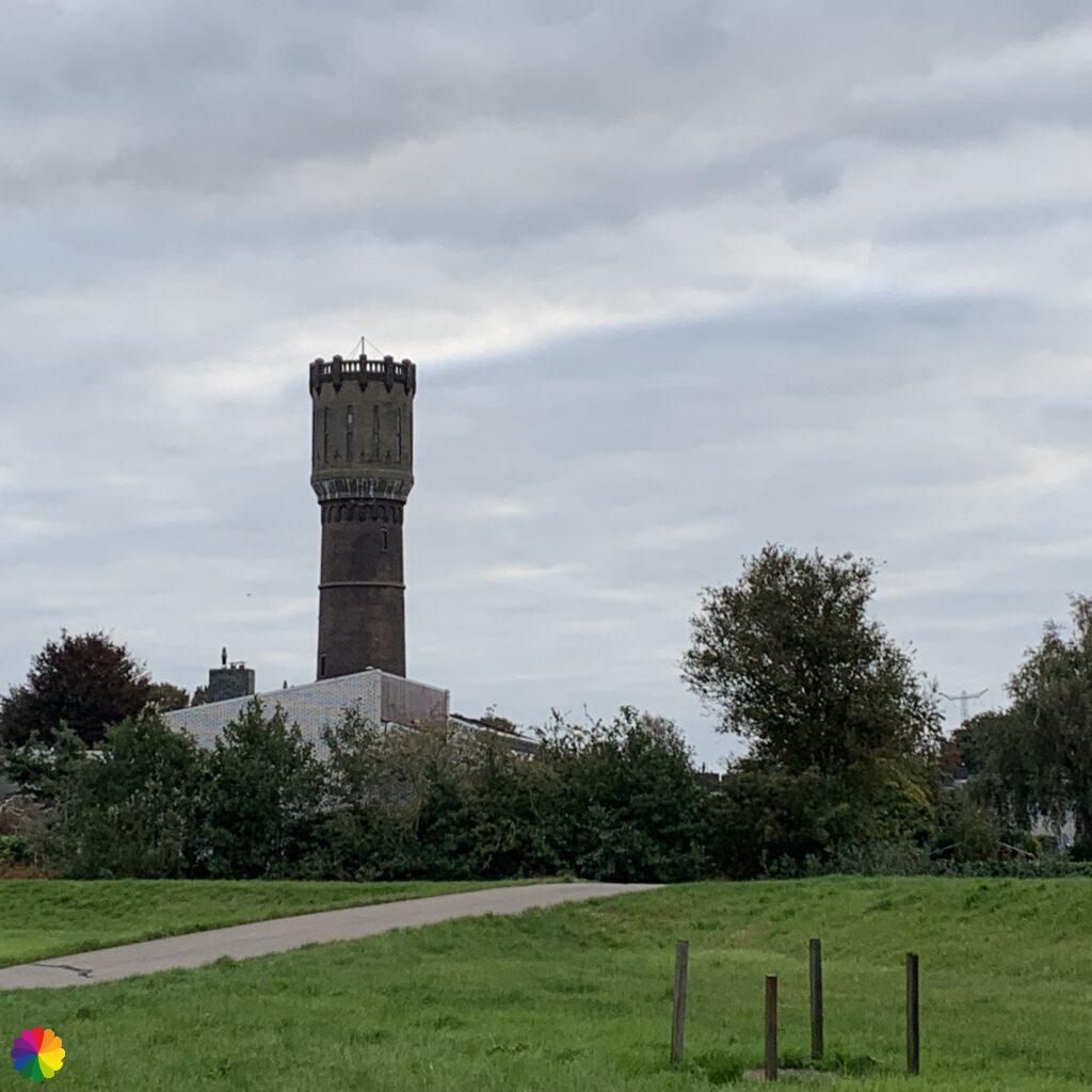
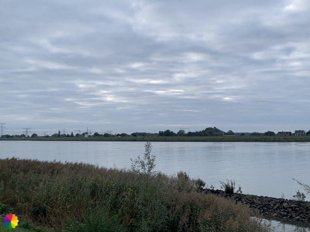
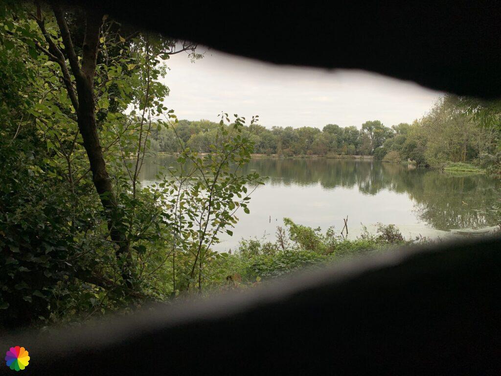
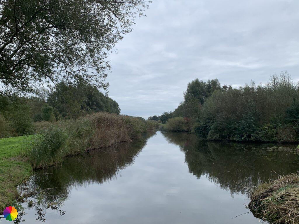
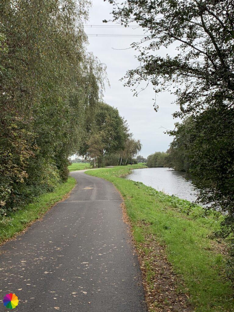
In the trail guide is a section about the Bakkerswaal duck decoy, which is just outside the trail. I was curious and I decided to add this extra trip to my hike. To do this, I turn right onto the Schuwwacht. This road goes straight alongside the river Lek. On the left-hand side, several farms can be seen behind the dike. There are also large trees showing the first signs of autumn. On the other side of the Lek, I again see the windmills of Kinderdijk. And a little further on, a white windmill in the distance.

After a while, I reach the Bakkerswaal duck decoy area. A sign on the dyke points to a set of stairs and a path down to the bird-watching screen.
A duck decoy is a lake or pond where wild ducks used to be caught for consumption. Decoy ducks were used to lure wild ducks to the lake. Nowadays, a duck decoy is mainly used for research purposes.
Bakkerswaal is the largest duck decoy area in the Netherlands that is still in use. The pond was created by a breach in the dike. In the winter, thousands of ducks spend their time here, coming from far and wide.
The area around the duck decoy is not freely accessible, with the exception of the bird-watching screen. On the website of Stichting Zuid-Hollands Landschap, guided group excursions can be booked in the summer for a closer look at the duck decoy.
Sources (in Dutch): Stichting Zuid-Hollands Landschap and Wikipedia
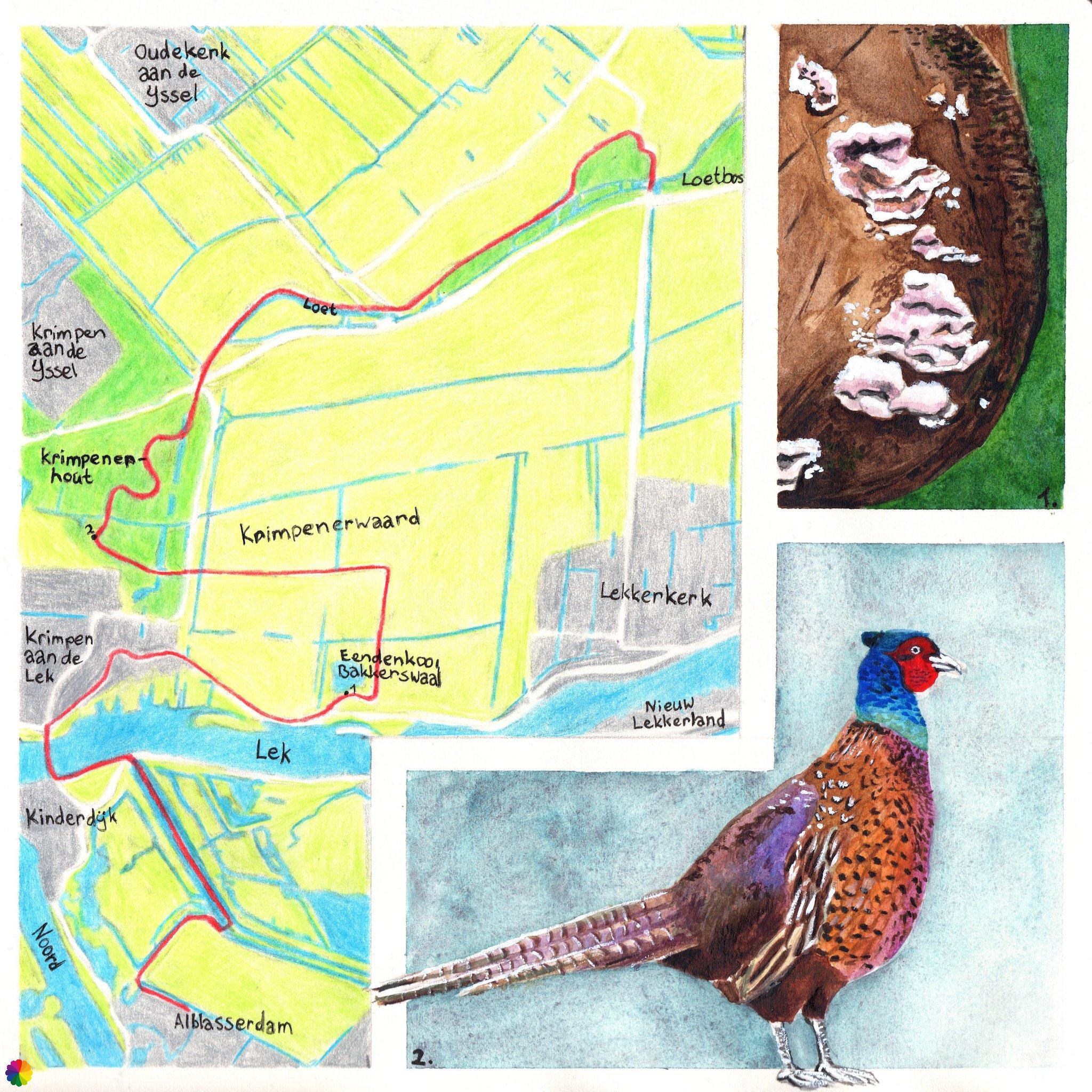
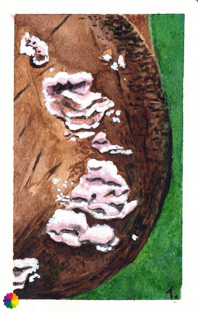
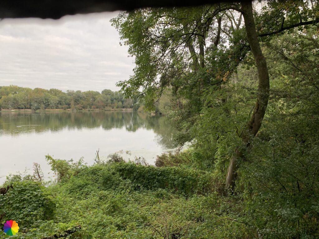
I go down the stairs and walk on the path between the thick growth of bushes. I also pass a tree stump with a kind of white fungi. Jeej, another mushroom, number two!


At the end of the path is the bird-watching screen. I peek through the cracks of the screen over the lake, but the birds are all on the other side. There is not much to see. Binoculars would be handy in this case. So I go back up the dike.
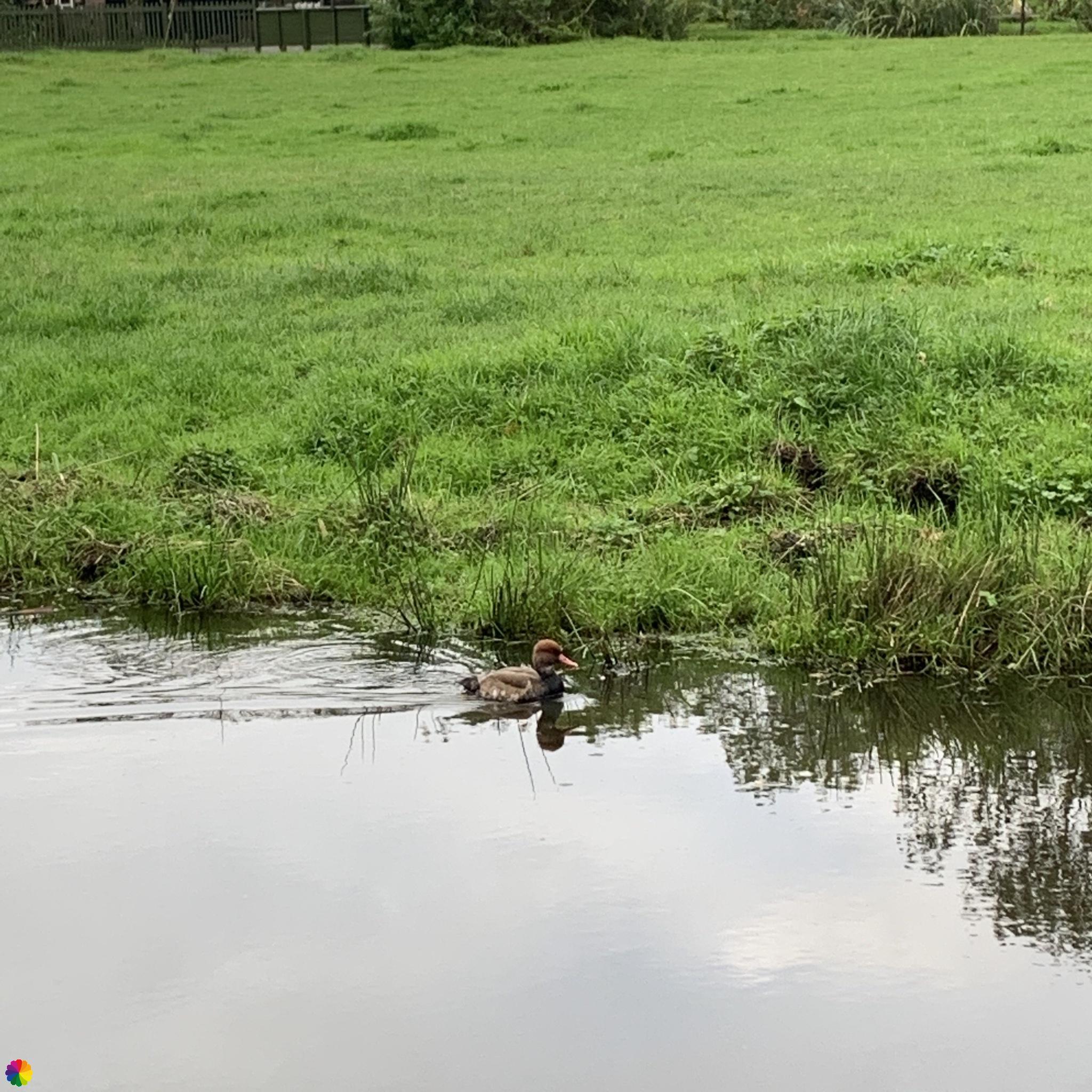
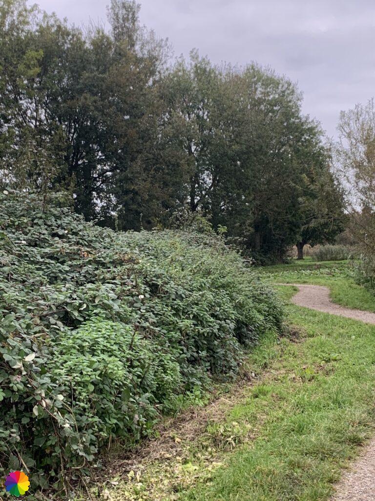
To avoid going back the same way, I first go along the Lek for a while and then turn right, down another set of stairs to the Kooiweg. After another right turn I walk at the back of the duck decoy on a polder road through the Krimpenerwaard. I come across a stray duck, I suspect a red-crested pochard.

Krimpenerhout
Krimpenerhout is a recreational area between Krimpen aan de IJssel and Krimpen aan de Lek. It is a nice area for hiking and cycling and there are various activities for children. There is also a surfing and swimming lake. In the energy forest, electricity masts and nature are combined.
On the website of Staatsbosbeheer you will find various hiking trails through Krimpenerhout.
Sources (in Dutch): Staatsbosbeheer and In de Krimpenerwaard
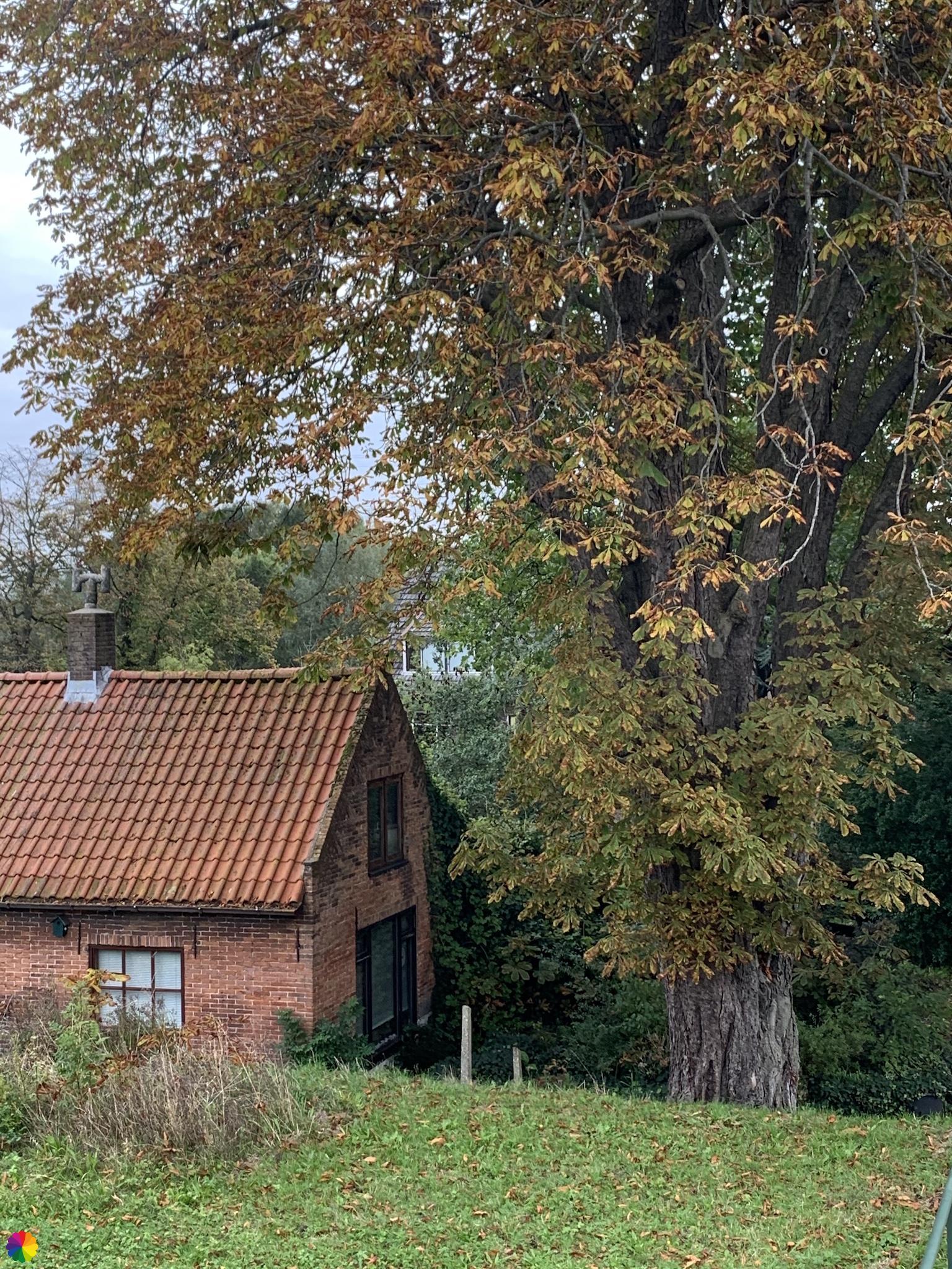
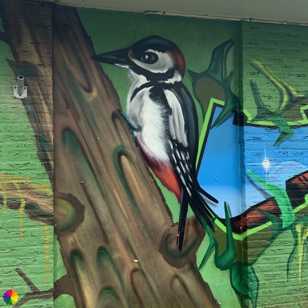
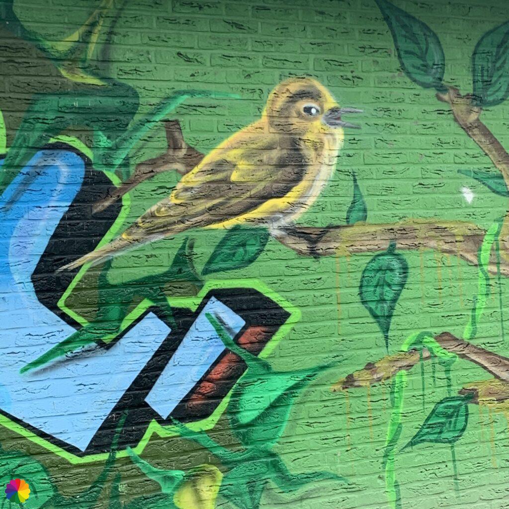
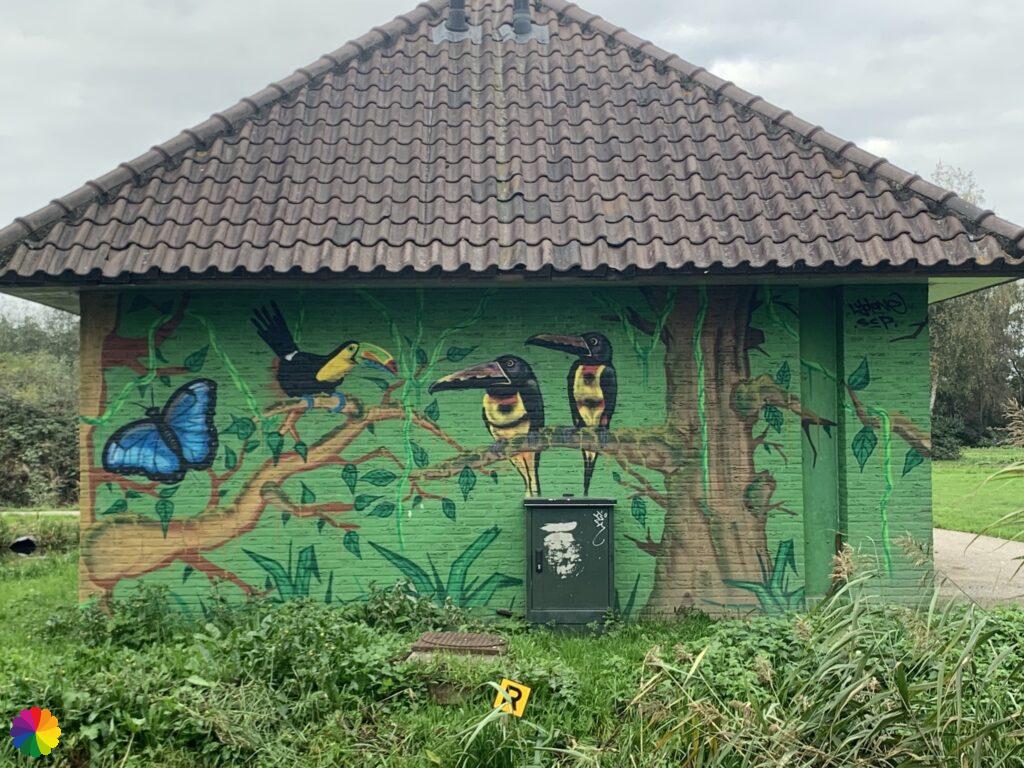
I take a break on a bench opposite some nice murals on a small building. I can’t find out who made them. I think there was a big tag with the name on it, but of course I didn’t take a photo of it 🤷🏻♀️.
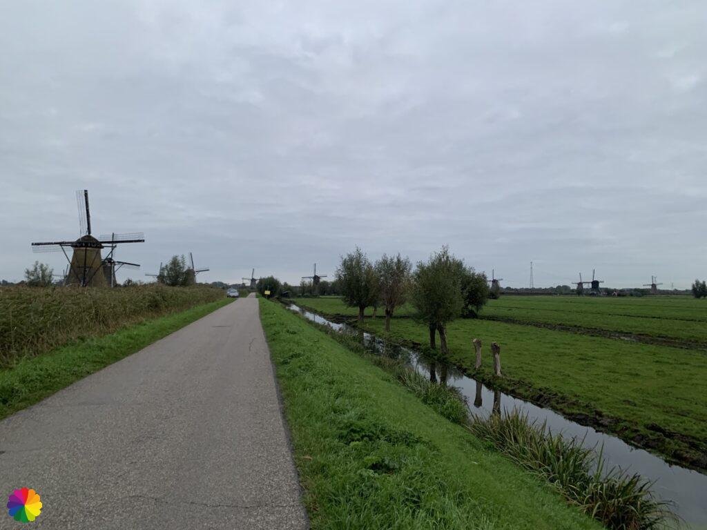
To my right, I see something scurrying in the grass. It is a group of pheasants. I don’t dare come too close to take a photo, as I don’t want to scare them away.
Male pheasants are beautifully coloured birds with a long tail. Some males have a white ring around their neck. The females are less visible with camouflage colours, but have a long tail just like the males. The pheasant is not native to Western Europe but was introduced by the Romans. Pheasants mainly live on the edge of woods, croplands and reeds. Pheasants live in a harem structure: one male lives with several females.

Source (in Dutch): Vogelbescherming
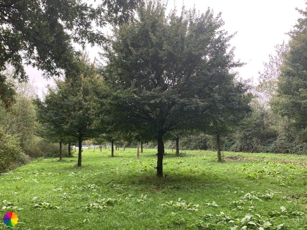
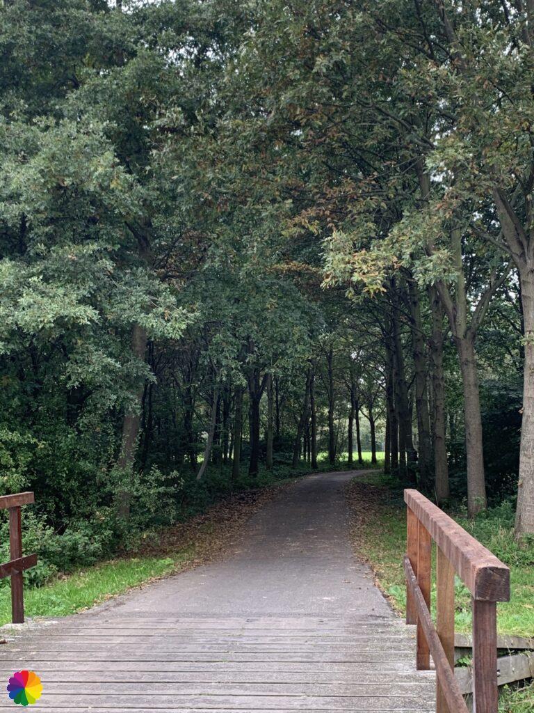
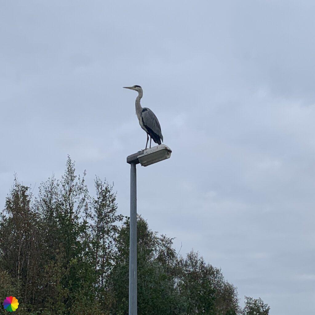
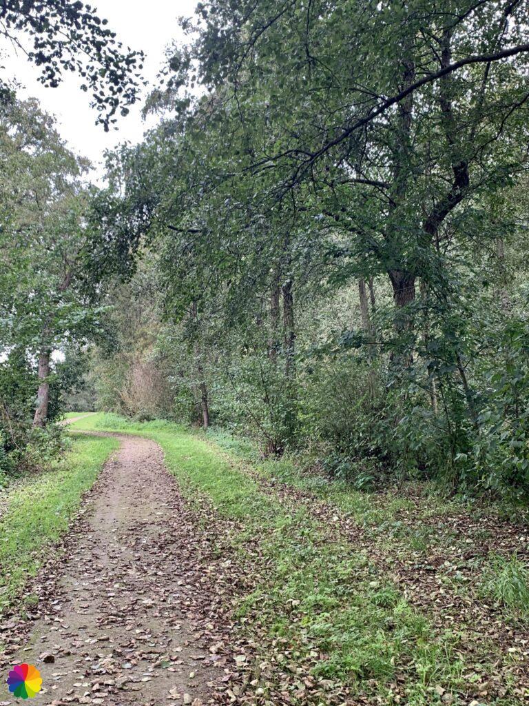
After a few minutes, I continue through the Krimpenerhout. I walk along winding paths, over small bridges and through small woods. High up on a lamppost, a heron stands looking out over the Krimpenerhout. He stays put while I walk under the lamppost.
Strolling along the little Loet river
After Krimpenerhout, I cross a roundabout at the N210 motorway and turn right onto the cycle path. I walk along the little river called the Loet. It is a nice green strip for a stroll, but the sound of roaring cars from the motorway can be heard constantly. That makes it a bit less pleasant. At the junction towards Ouderkerk aan de IJssel I cross over and continue strolling along the Loet river. This is also where the Loetbos starts, which owes its name to the small river.

This western part of the Loetbos is not very interesting; you mainly walk along the woods and not through it. And although it is autumn, most of the leaves are still on the trees. At the parking lot I stop my hike. From here, you can follow the main trail in the direction of Bergambacht. But you can also take Variation A towards Rotterdam via Krimpenerwaard, Zuidplas and Rottemeren. Next time I will continue with Variant A and go an extra round trip through the eastern part of the Loetbos. I will be curious to see whether that part is interesting. I can tell you now: it certainly is!
Final thoughts
The windmills of Kinderdijk are once again beautiful. The part to Bakkerswaal, through the Krimpenerwaard, the Krimpenerhout and part of the Loetbos were nice, but not very special. That’s why I give this hike a three star rating. By all means, I didn’t take a wrong turn this time, but you shouldn’t be hasty either!
More info:
Trail: Section 5 en Section 6 Long distance trail 6 Great rivers trailWhere: from Kinderdijk to Loetbos near Lekkerkerk, Zuid-Holland, in the Netherlands.
No. of km: +/- 14 km
Hiking date: 16 October 2020
Materials used in illustrations: Coloured pencils for the map and watercolour paints for the other illustrations
Rating: ⭐⭐⭐
ColourFlux Studio makes use of so-called affiliate links. If you buy a product through the link in an advertisement, ColourFlux Studio receives a small amount. There are no additional costs for the buyer.
Back to Blog.


