If you hike a long-distance trail you cannot avoid the fact that there are less nice parts in between, this was the case with the hike between Heenvliet and Rozenburg. This was due to the route being very boring, but especially to the oppressive warm weather when I did the hike last summer. To bridge the lesser parts (now even literally 😄) it’s a matter of just walking on to a point where it’s enough and you can go home again. Or there will eventually come a moment when it is nice again. For instance, at the end of this hike I came across a small (again literally) surprise. So it is definitely worthwhile to read this blog!
Heenvliet and Zwartewaal
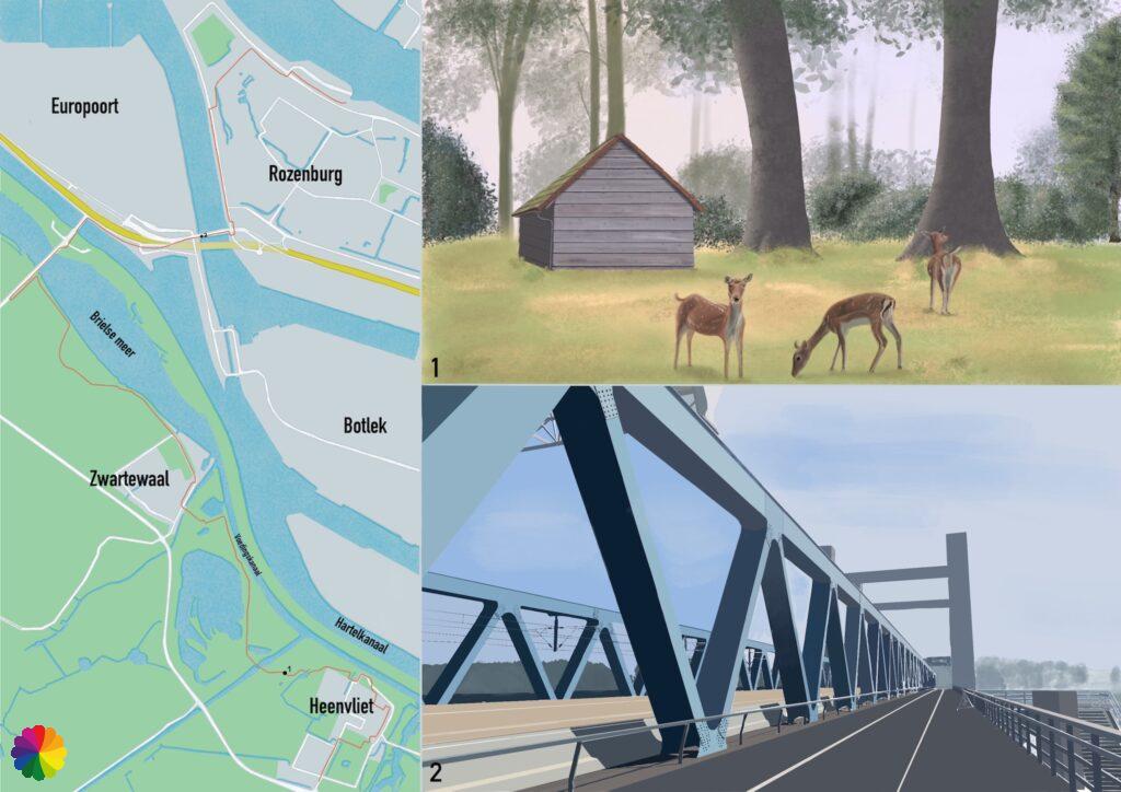
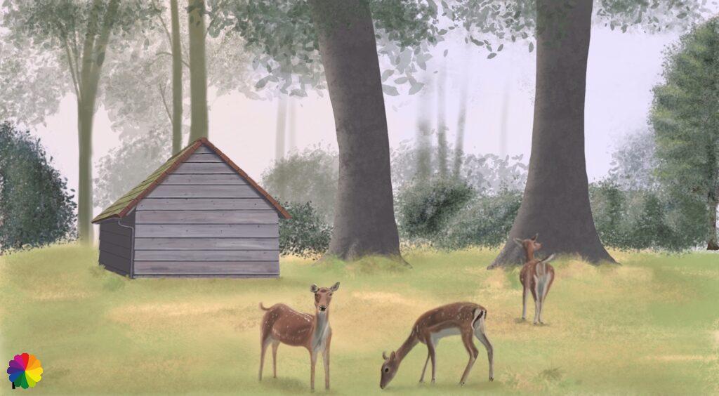
I get off the bus at Heenvliet. I walk into Heenvliet and go to the point where I stopped last time. I can’t find the markings of the trail. I zigzag through the residential areas of Heenvliet until I arrive at the northern edge of the town and come across the markings. I go through a park. A little further on I pass a deer park and the deer come running at me as fast as they can. As soon as they see that I don’t have any food they turn around again.
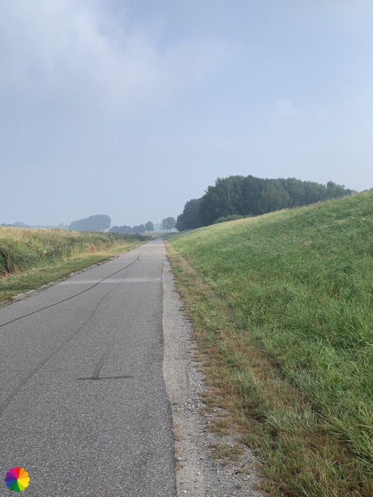
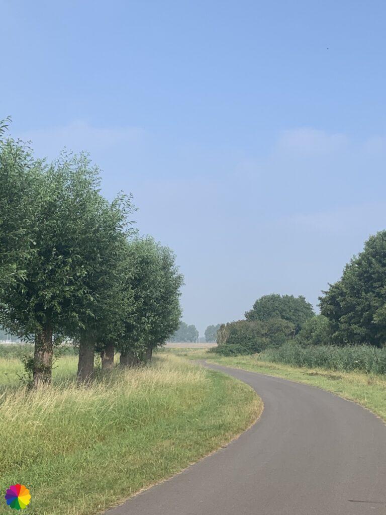
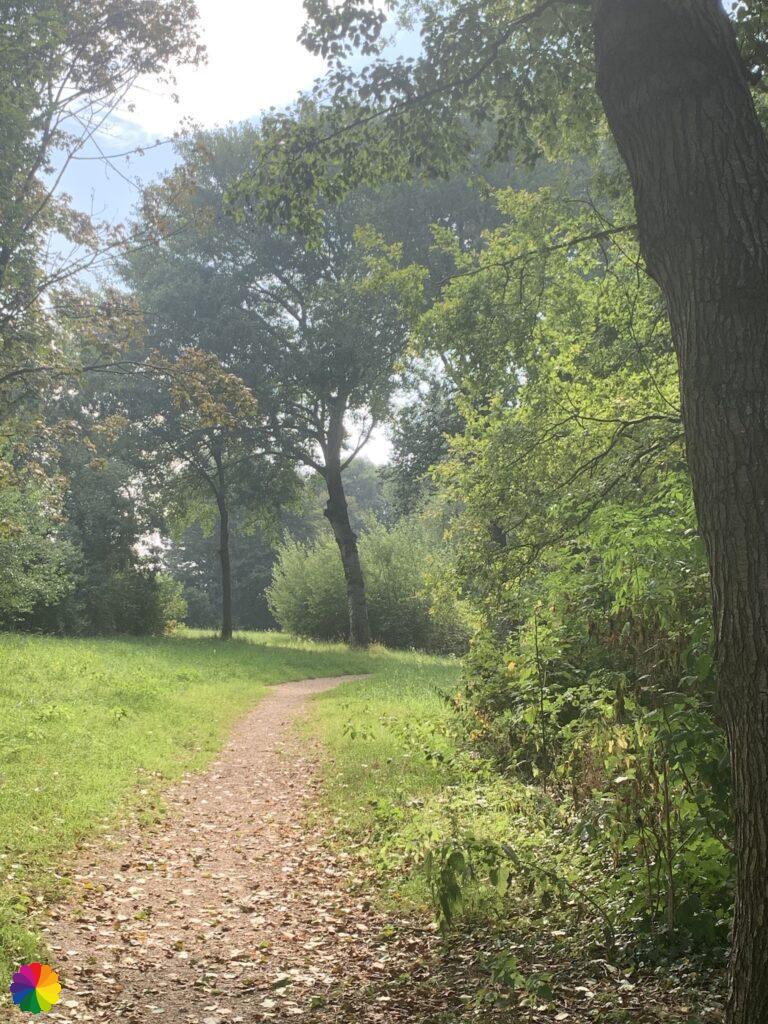
After the park I leave Heenvliet and walk a long part over the Wieldijk along the Voedingskanaal where I also went passed in the previous hike on this trail. How warm and oppressive is the weather today! I’m sweating like a pig, with every step the sweat gushes from my head. That is not a pleasant walk. Even in the photos you can see how warm it is.
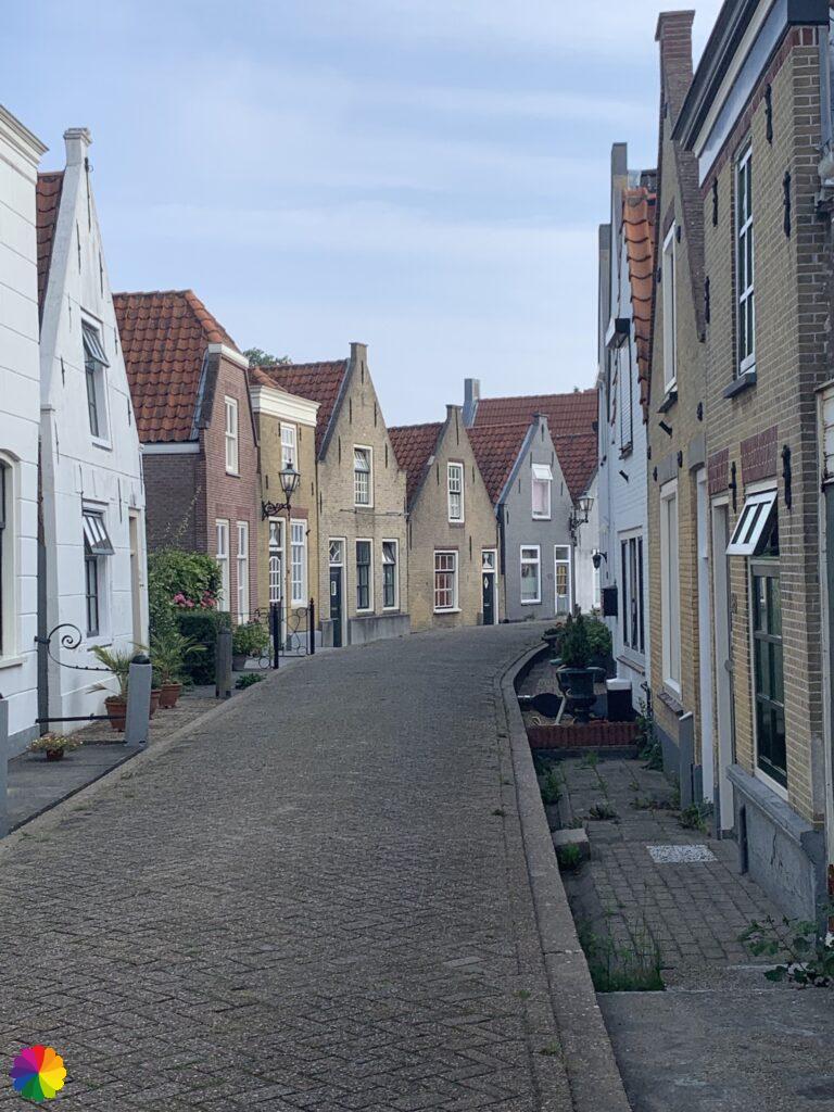
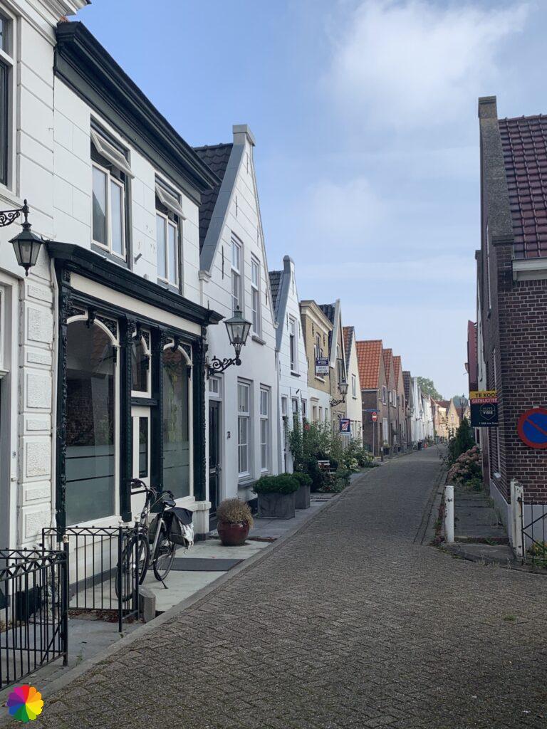
The Wieldijk leads me along the marina of Zwartewaal. Zwartewaal is a small town with a couple of beautiful houses. Within 5 minutes I am already through the small town.
I go through the polder again, this time over the Maasdijk. If you keep following this road you will eventually arrive at the fortified town of Brielle. I ignore Brielle for now and turn right into the Onderneming. Further on I can see the first bridge I have to cross: the Brielse bridge.
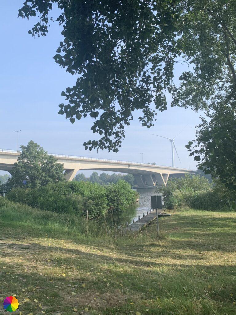
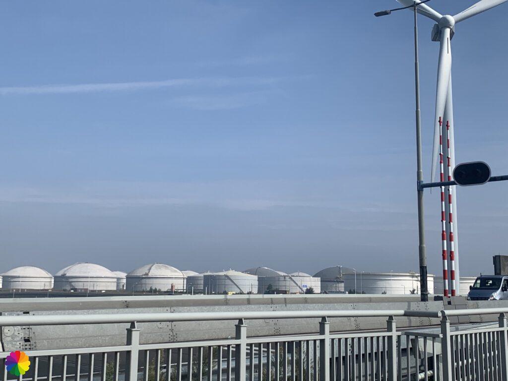
Once on the bridge, the oil tanks and the factories of the Europoort can be seen on the left and the Botlek on the right. I find the industrial area quite interesting, but because of the poor weather it does not interest me very much now. I quickly cross the bridge.
Other trail guide about the same region
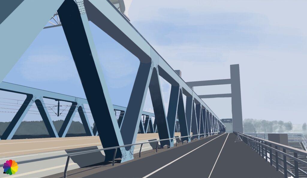
Immediately after the Brielse bridge, the next bridge is already there: the Harmsen bridge. After a short distance over the Rozenburg island, it is soon time for the last bridge, the Calandbrug.
At the end of the bridge I go over a footpath to the right, then I turn right again immediately down the bridge. The town of Rozenburg is already in sight.
Rozenburg
Source: Wikipedia (in Dutch)
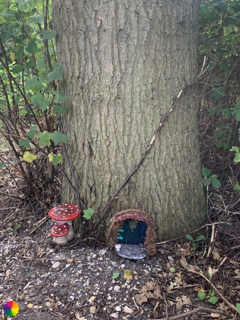
After a long stretch on the Noordzeeweg I turn right and walk through the town of Rozenburg. I pass a petting zoo and a town garden. A little later I turn right on a footpath through a little part of green. At one point I see a mushroom standing near a tree. I still think: “it’s summer, still a bit early for mushrooms”. Suddenly I see next to the mushroom a small door in the tree! I guess there is a gnome or a fairy living there. What a funny surprise!
A little further on I walk along the Boulevard and near the ferry to Maassluis I stop my hike. A nice point to start again next time. I look for the nearest bus stop.
Final thoughts
This was one of the least favourite hikes I have ever taken. As I wrote in the introduction: the trail was boring and the weather was uncomfortable. I also didn’t take a lot of photos. I give this hike a rating of one star.
More info:
Trail: Section 2 Long distance trail 6 Great rivers trailWhere: from Heenvliet to Rozenburg, Zuid-Holland in the Netherlands.
No. of km: +/- 11 km
Hiking date: 14 August 2020
Materials used for illustrations: Digital illustrations made in Procreate on the iPad
Rating: ⭐
This time I chose to make digital illustrations. I’ve been wanting to learn for some time how the drawing app Procreate on the iPad works. I thought this would be a nice way to get acquainted with it. You can do such fun things with it. For me it was the first time I made a digital painting. It was very challenging (just like the hike), but I didn’t give up and the result is still nice for a first time. I did take a short cut in the illustration of the bridge. To save time I actually covered the picture. This was a good exercise in perspective, colour theory and shadows. The reference photos I used are my own.
ColourFlux Studio makes use of so-called affiliate links. If you buy a product through the link in an advertisement, ColourFlux Studio receives a small amount. There are no additional costs for the buyer.
Back to Blog.