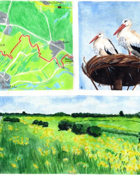
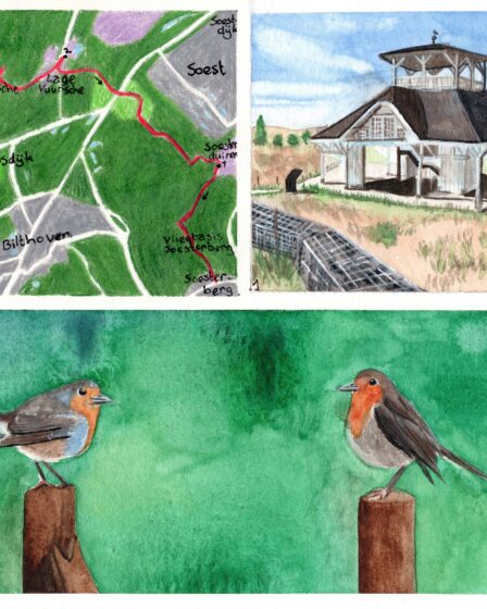
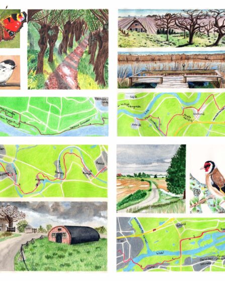
To be honest, this part of the Migration birds trail is not what I am looking forward to. Looking in the trail guide, all I see is farmlands from Langbroek to Amerongen. That will be a monotonous hike. But that turns out to be anything but true. Will you join me on this surprisingly fun part of the Migration birds trail?
Utrecht
Migration birds trail: from Maarn to Langbroek – ⭐⭐⭐
Today I hike a section of the Migration birds trail, between Maarn and Langbroek in the Netherlands. First of all, I go back a bit on the trail, because last time I skipped nature reserve the Koeheuvels (Cow Hills). I’m glad about that in retrospect, because it turns out that the Koeheuvels and another trip off the trail, to watchtower De Kaap, are the most enjoyable part of the hike. Are you curious? I’ll tell you all about it.
Wooden shoes trail: Stoetwegen trail – ⭐⭐⭐
Wooden shoes trails are fun! I’ve already picked out the next one. In this blog just a short description of the trail (a trail shortener 😉), a few photos and a simple sketch to illustrate. No need for a hiking map, the info on the website is clear enough. This time a report on the Stoetwegen trail.
Migration birds trail: from Soesterberg to Maarn – ⭐⭐⭐⭐⭐
Snow! Totally unexpectedly, I hike through a winter wonderland today! I start in Soesterberg and go via the Den Treek Henschoten estate past the pyramid of Austerlitz and via the town with the same name I continue through the forest to Maarn.
Migration birds trail: from Hollandsche Rading to Soesterberg – ⭐⭐⭐⭐
It has been about a year since I hiked a section of the Migration birds trail in the Netherlands. It is about time for another hike on this beautiful trail. Today, I will visit the towns of Lage Vuursche, Soest and Soesterberg, with many paths through the forest and along the heatherlands in bloom. At the last minute, I will also walk through the Soesterberg airbase park.
Recap long distance trail 6 Great rivers trail
I have now completed my first long-distance hiking trail (LAW): LAW 6 The Great Rivers trail. This trail goes from west to east in the Netherlands (or vice versa) and passes several major rivers in the Netherlands, such as the Nieuwe Waterweg, Oude Maas, Hollandse IJssel, Lek, Linge and the Waal.
Wooden shoes trail: Duck decoy trail – ⭐⭐⭐
Wooden shoes trails are fun! I liked the first wooden shoes trail trail I hiked so much that I quickly picked another one. In this blog, just a brief description of the trail, a few photos and a simple sketch to illustrate. Nothing more. No need for a hiking map, the info on the website is clear enough. This time I hiked the Eendenkooienpad (Duck decoy trail).
Overview hiking trails in the Green Heart
In September 2021, I completed the last hike from the booklet Green Heart trails of the ANWB. This booklet contains 43 round trails in the Green Heart region in the Netherlands. The booklet is no longer for sale and the hexagonal ANWB trail markings are outdated or no longer present everywhere, but the trails can still be hiked and found here and there on the internet. Therefore, I created an overview of where you can find these trails online. I also describe a top 5 of favourite hiking trails from this booklet.
Migration birds trail: from Baarn to Hollandsche Rading – ⭐⭐⭐⭐⭐
The heather season has not yet ended at the beginning of September (2021), so I am hiking another part of the Migration birds trail in the Netherlands. I travel to Baarn and have several options for the finish line: Hollandsche Rading, Lage Vuursche or perhaps Soesterberg. As you can see from the title, it has become Hollandsche Rading. On the way, I have been busy photographing the many mushrooms, heather and other flora and fauna. So the hike is not very long this time.
Wooden shoes trail: Benedeneindse trail – ⭐⭐⭐⭐
Wooden shoes trails are great! I didn’t want to write a blog post about them at first, I have plenty other trails to do, but I am so enthusiastic about these paths. That’s why I created a shorter version for Wooden shoes trails, or in other words: a trail shortener. Just a short description, a few photos and a simple sketch to illustrate. That’s it. A hiking map is not necessary; the information on the website is clear enough. This time I hiked the Benedeneindse trail.