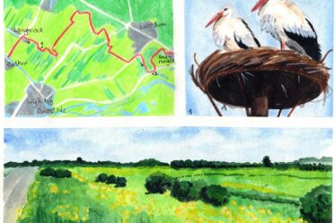
Already a week after my previous hike on the Great rivers trail, I return to Herveld-Zuid. I can almost see the finish line. Unfortunately, the trail takes an unexpected turn. From Herveld, I hike the original trail from the booklet via Slijk-Ewijk, Oosterhout and Lent to Nijmegen. Only halfway along the trail I find out that there is a diversion….

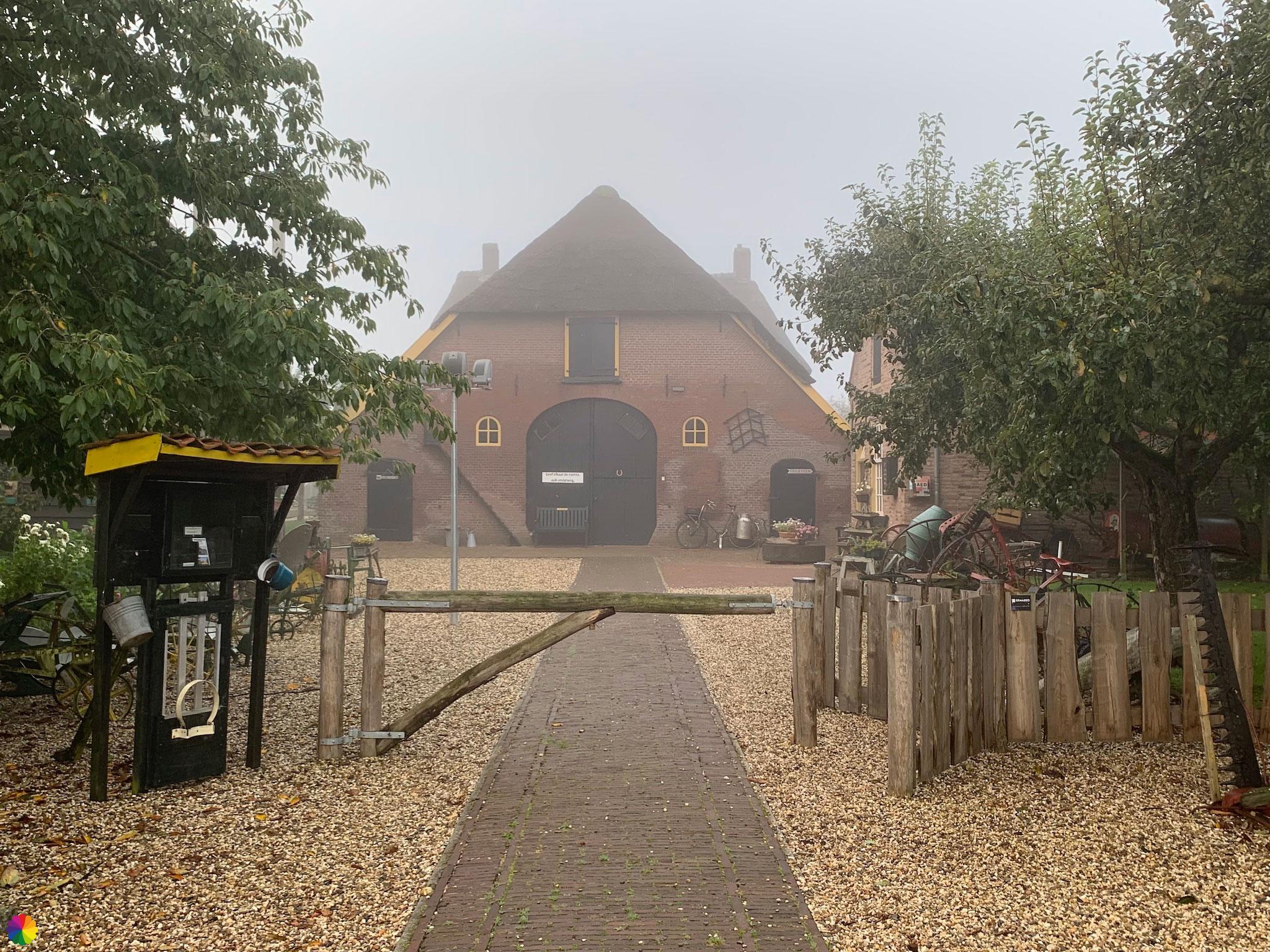
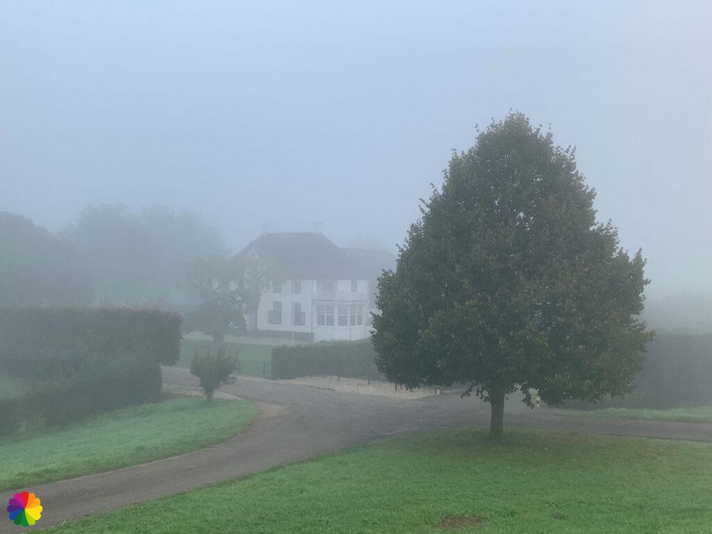
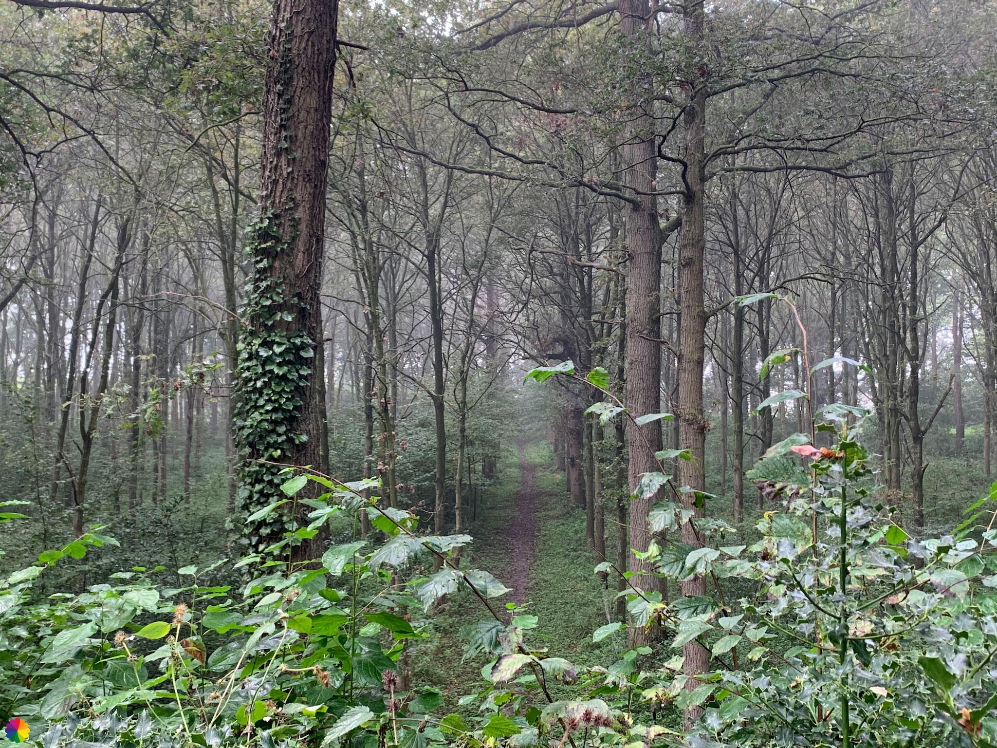
It is foggy in Herveld
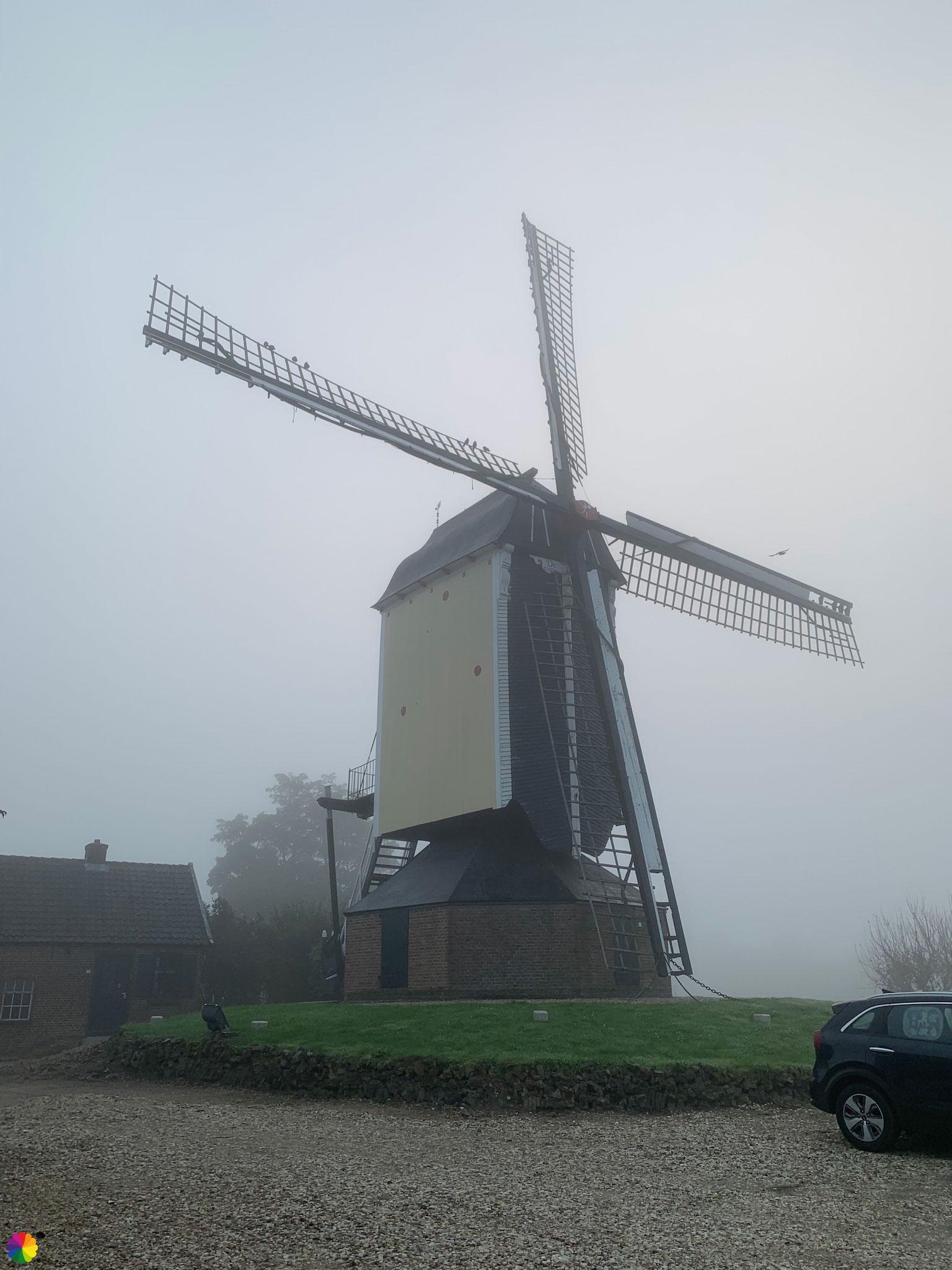
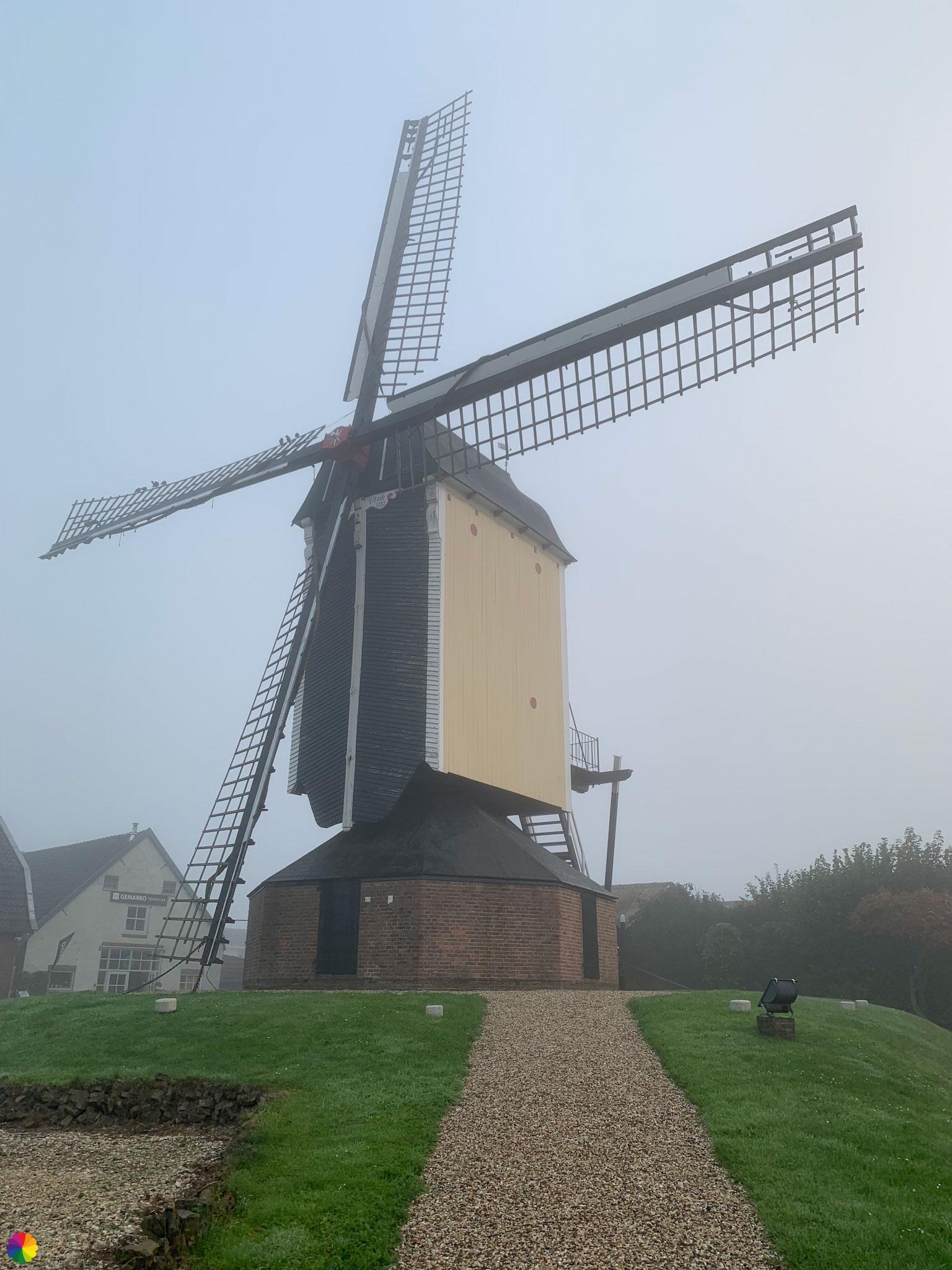
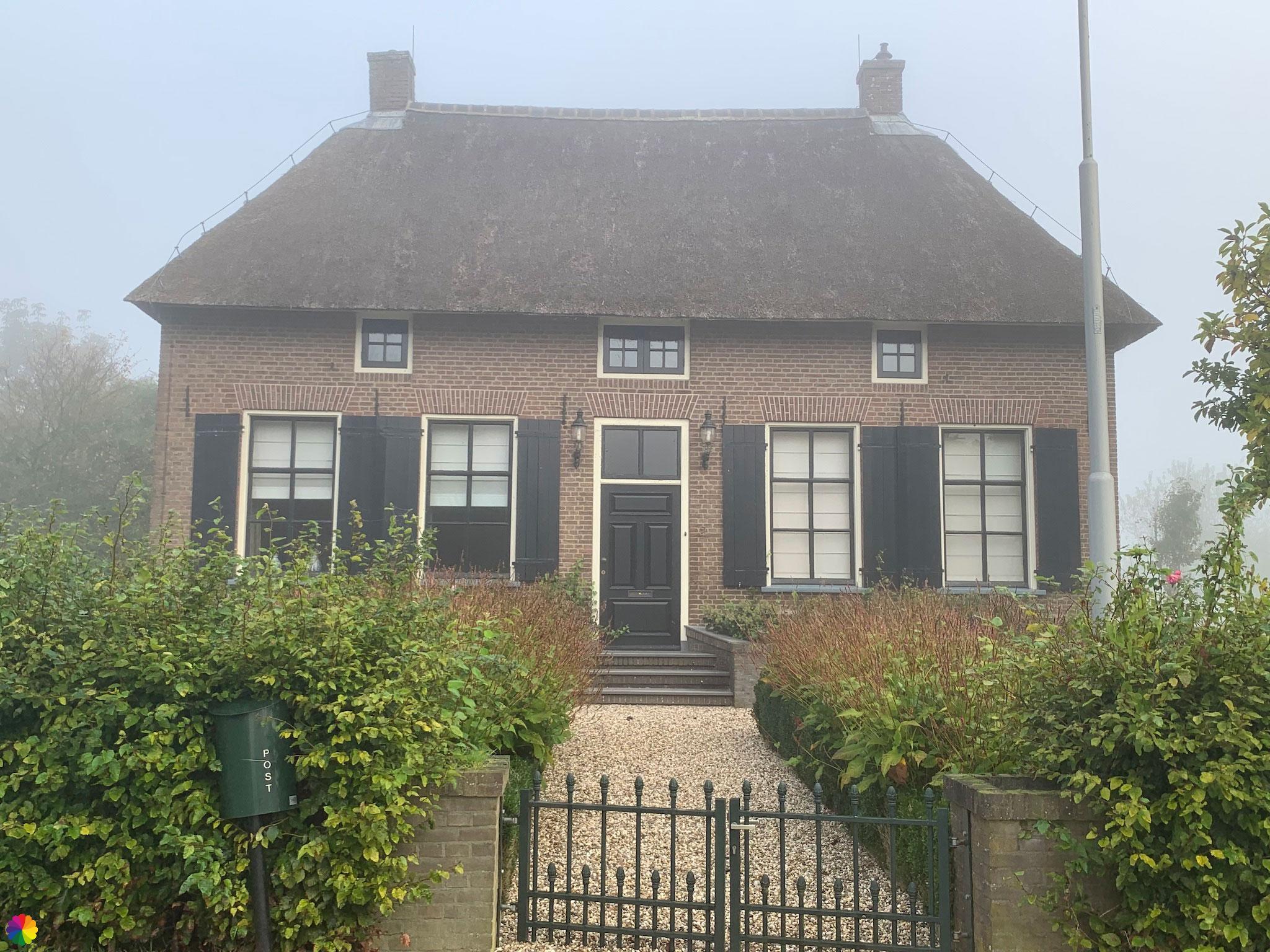
It is very foggy today and I cannot see very far. I start with the trail at the edge of Herveld-Zuid. I walk past museum farm Den Tip and a little later I pass windmill the Finch. Because of the fog, however, I see the sights only when I get closer. The farm and mill are beautiful in the fog, though.
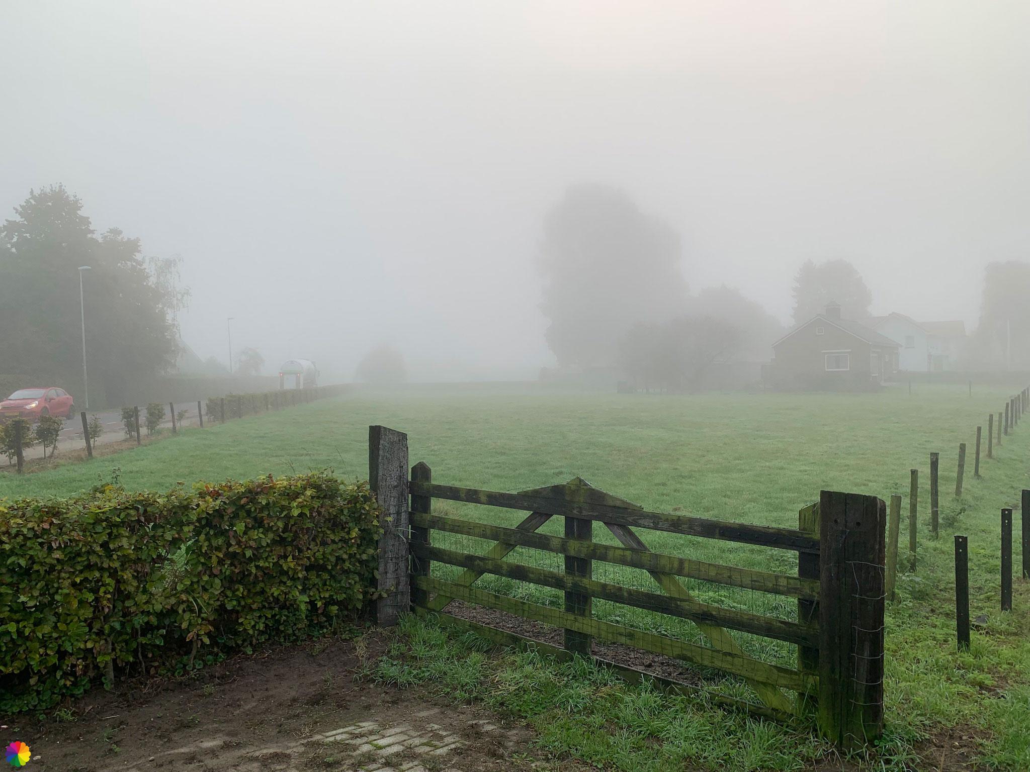
Just after Herveld-Zuid, the markings send me to the right along a highway. I am glad it is foggy because then I cannot see the cars. The view to the left is also obstructed; I can only see some trees from a tree plantation. This makes for a mysterious effect.

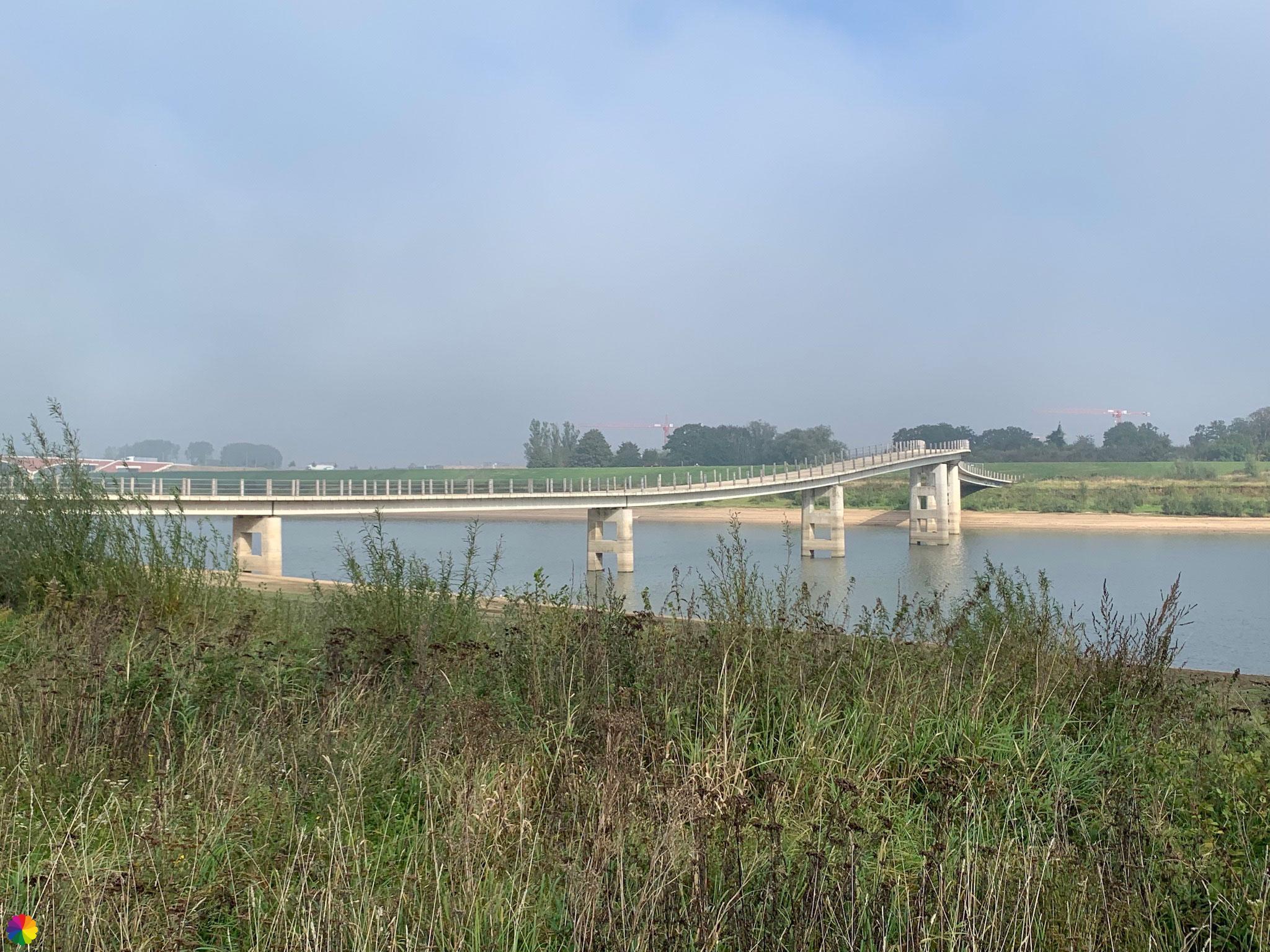
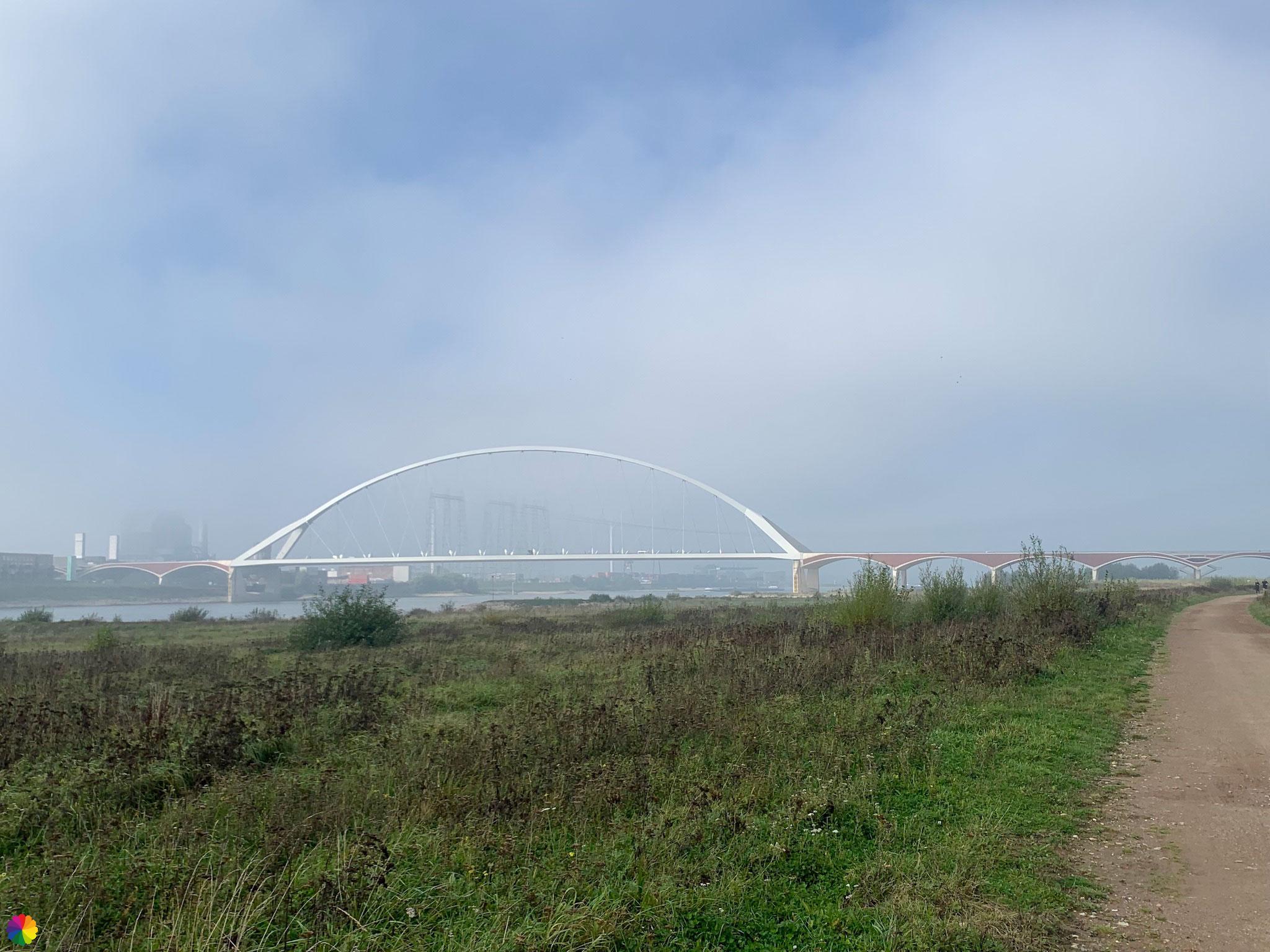
Near a bridge I see no markings down the bridge on this side of the Waal river, which means just straight across the bridge. But when I look in the booklet I see that I have walked completely the wrong way. I shouldn’t cross the bridge at all, so I quickly go down the bridge via a staircase and back towards the trail from the booklet.
Other trail guide about the same region
At the bottom of the bridge is a crossroads, where I take a break on a bench. Normally there is a wide view of the Waal river and the floodplains here, but the fog is so dense that i cannot see the river. So no beautiful vistas this time.
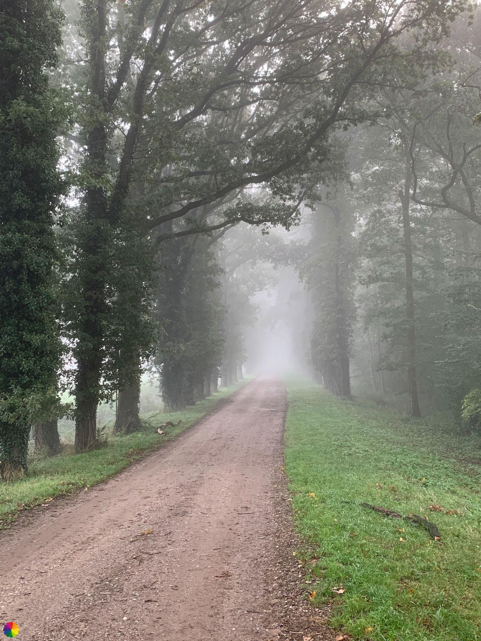
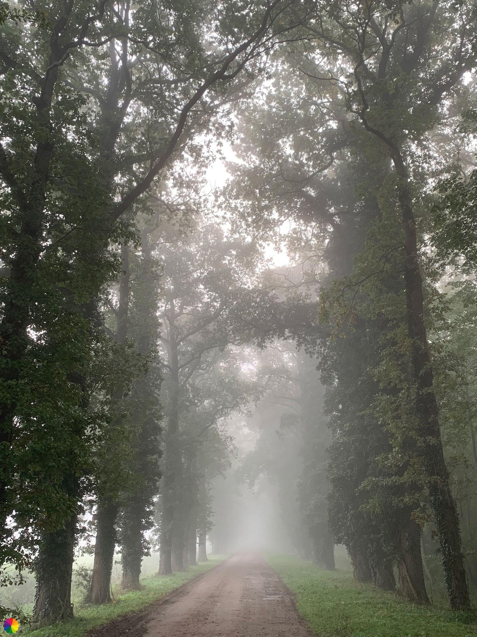
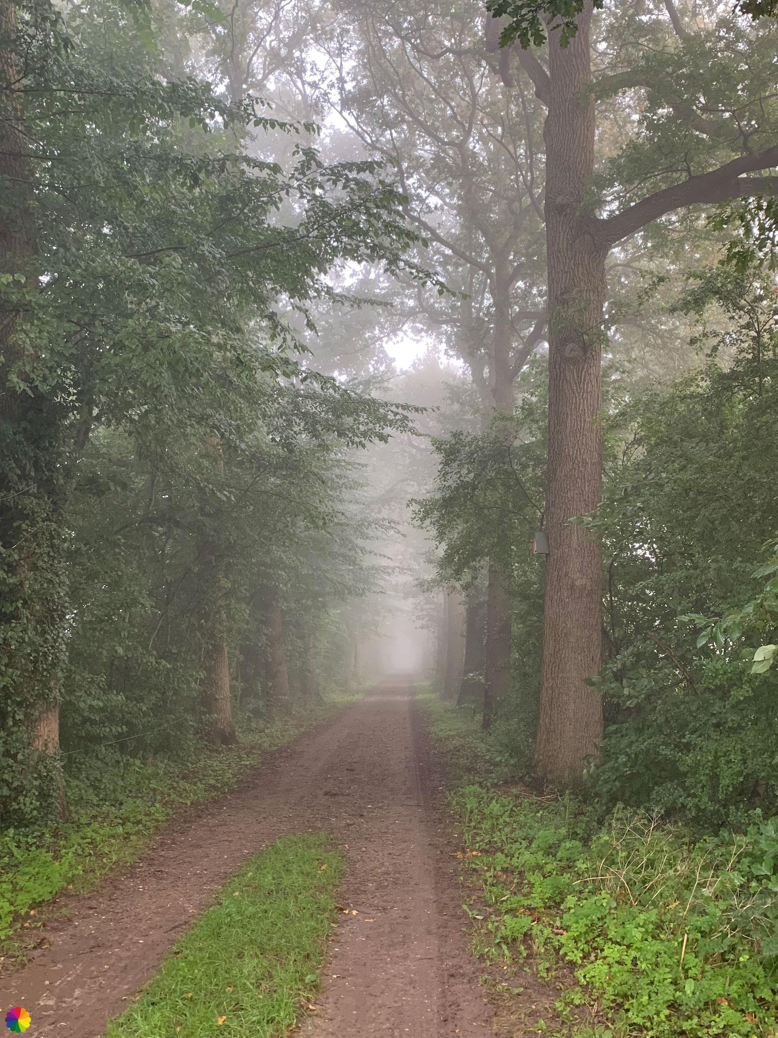
I go down the dike along a beautiful avenue of trees called Grote Allee (Grand Avenue), towards the Loenen estate. The trees look beautiful in the fog. What a small world!
To get back on the trail, I turn left into a path and a little later I then have to turn right where I can pick up the markings. But the path is closed with a barrier tape because trees are being trimmed. At first I want to disobey and just go along, but the path is very muddy and churned up by the machinery. I turn back anyway and skip a little bit of the trail.
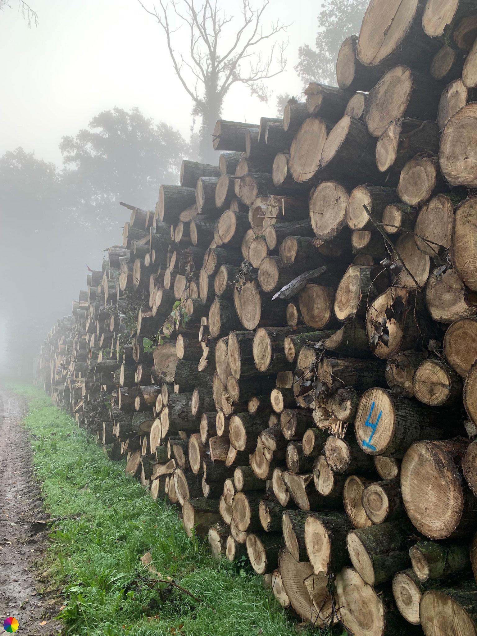
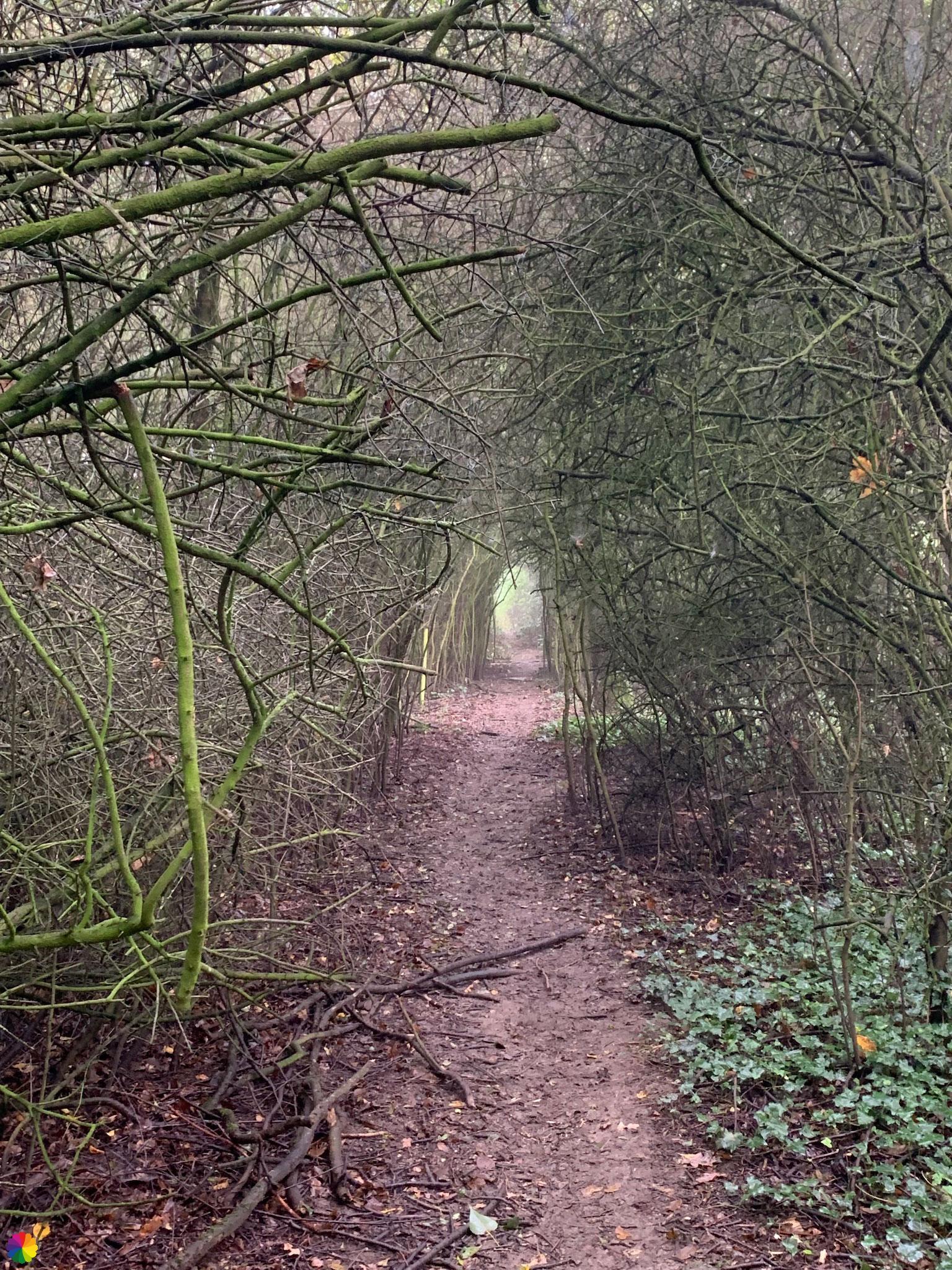
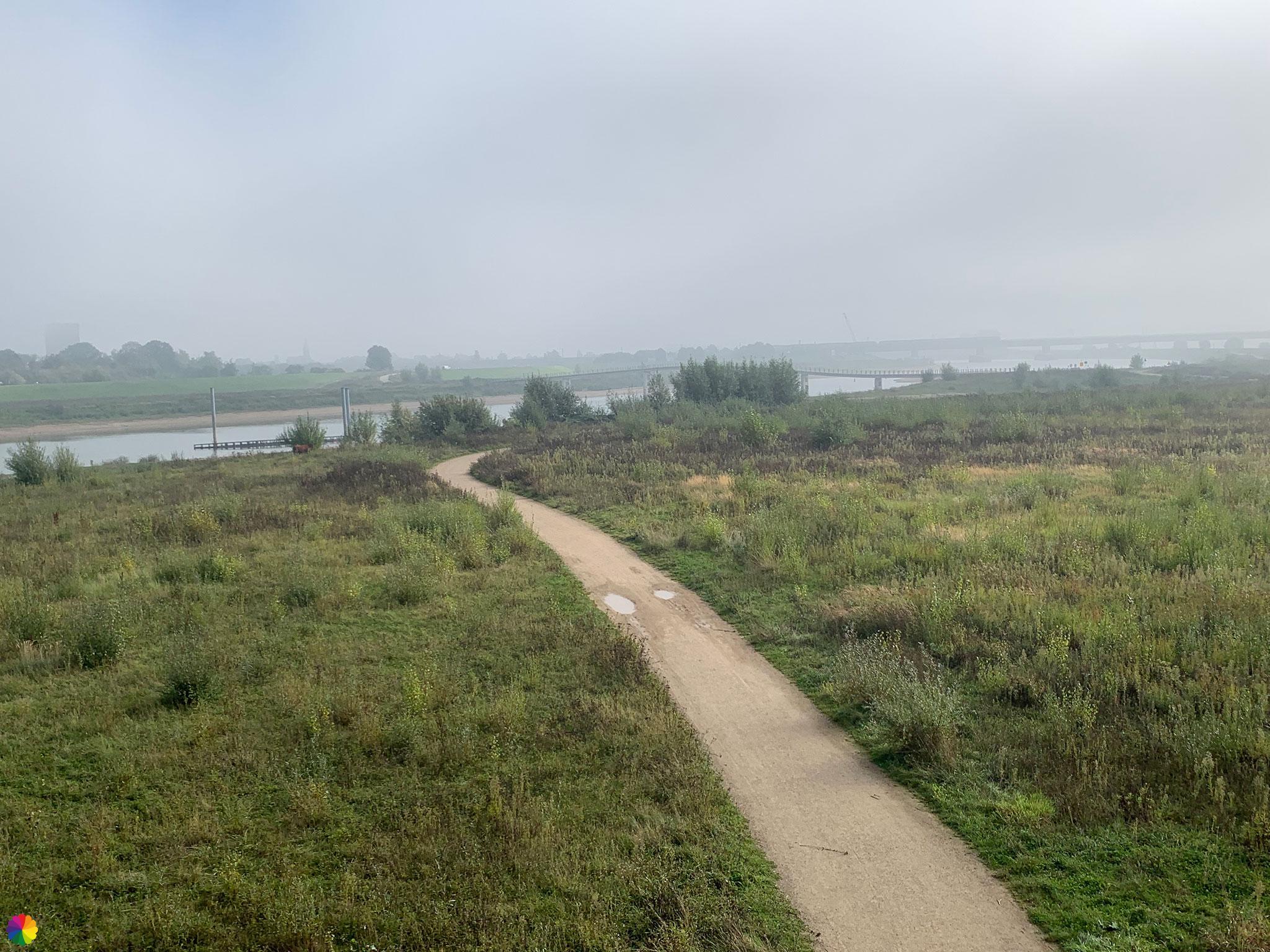
Back at the Grand Avenue, I turn left and am now on Loenen Estate according to the signs. I pass a pile of tree logs. Maybe they were cutting them down earlier too. I can turn left into a forest path, but the trail does not go there. I keep walking on the semi-paved road.
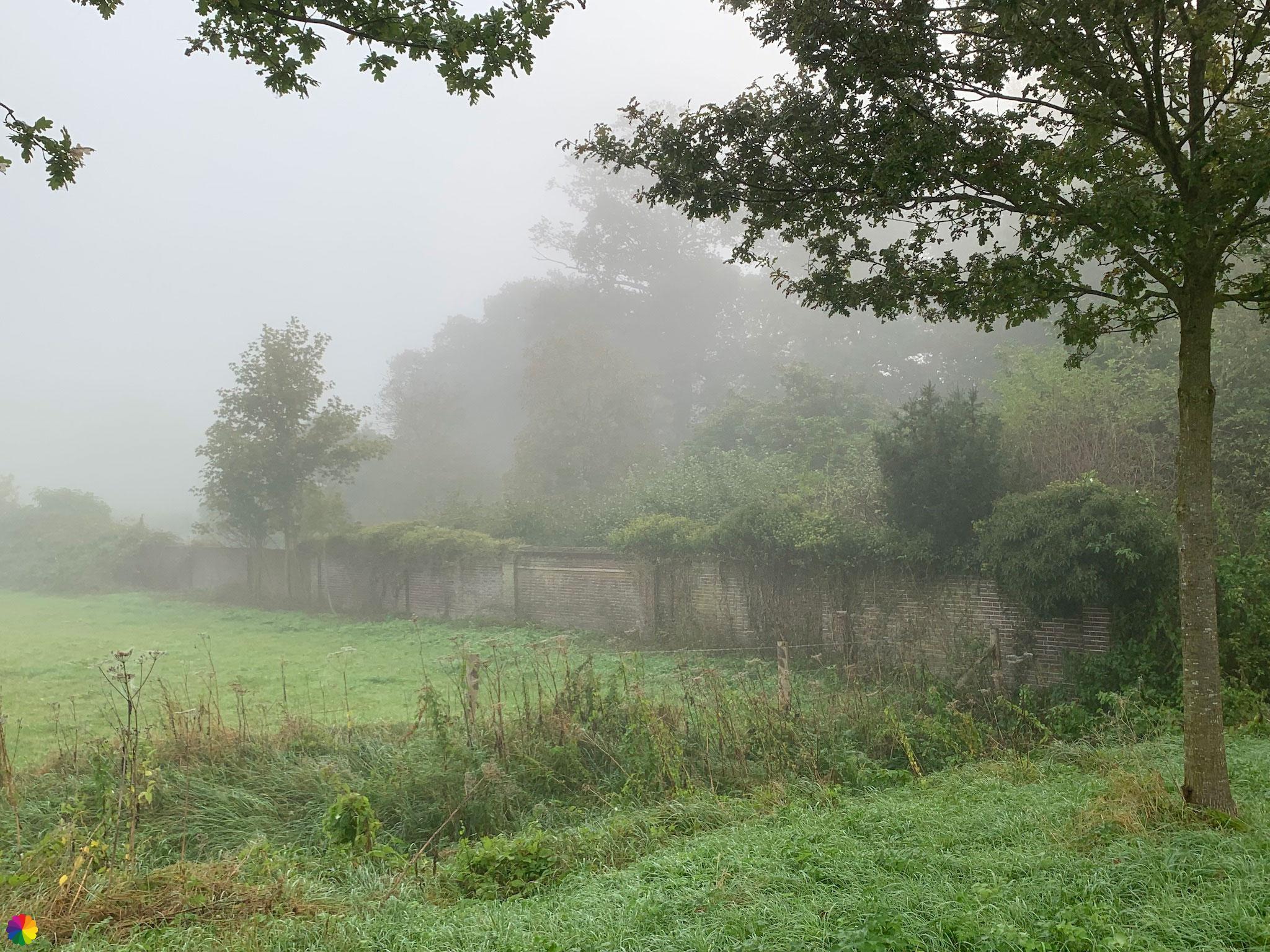
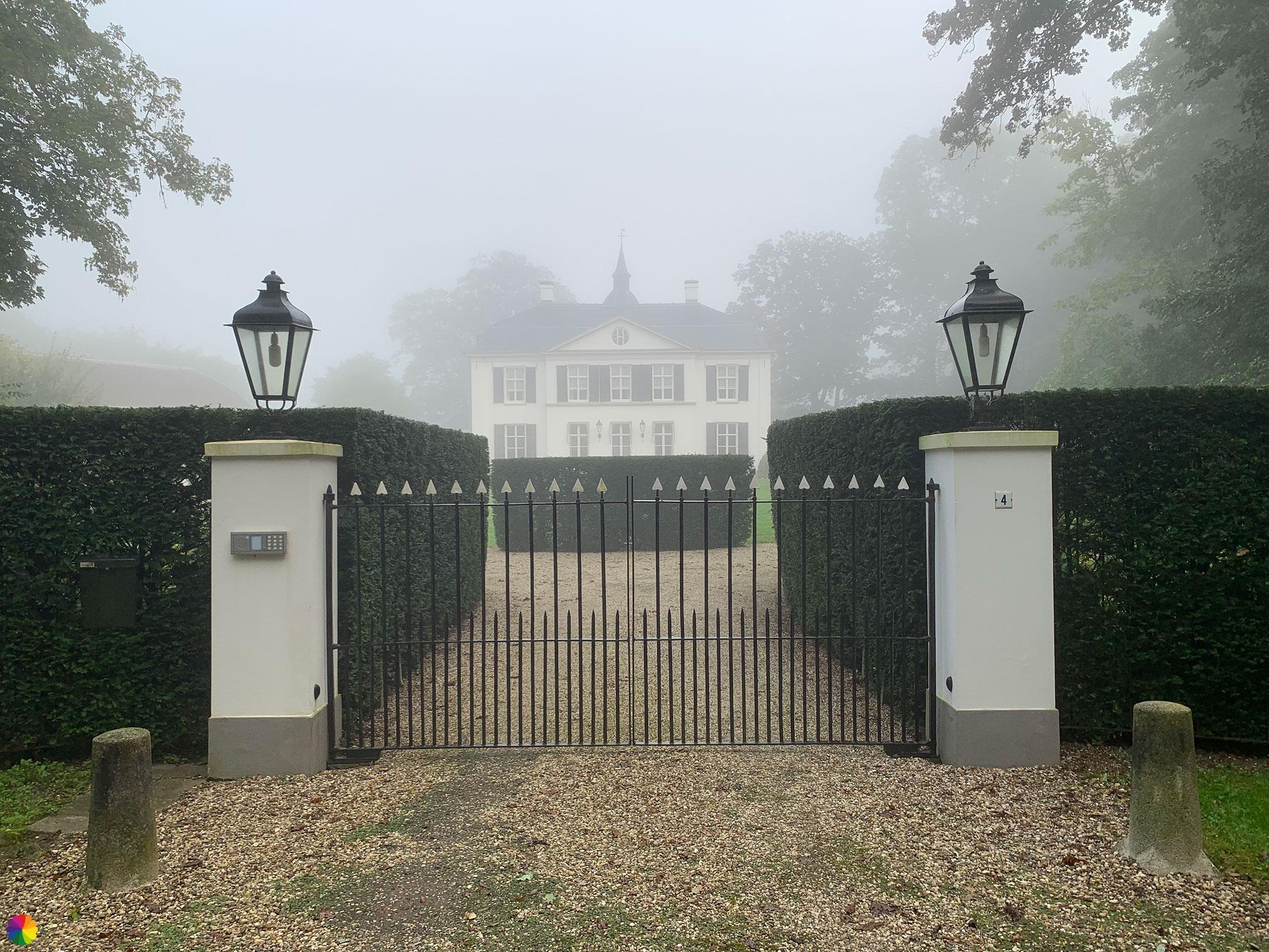
A little further on, Loenen country house comes into view. I know two other places with the same name, Loenen aan de Vecht and Loenen (of the waterfalls) near Apeldoorn. This is yet another Loenen, not a place but an estate. All Loenens have something special.

Unsuspectingly heading for the Waalbandijk near Slijk-Ewijk
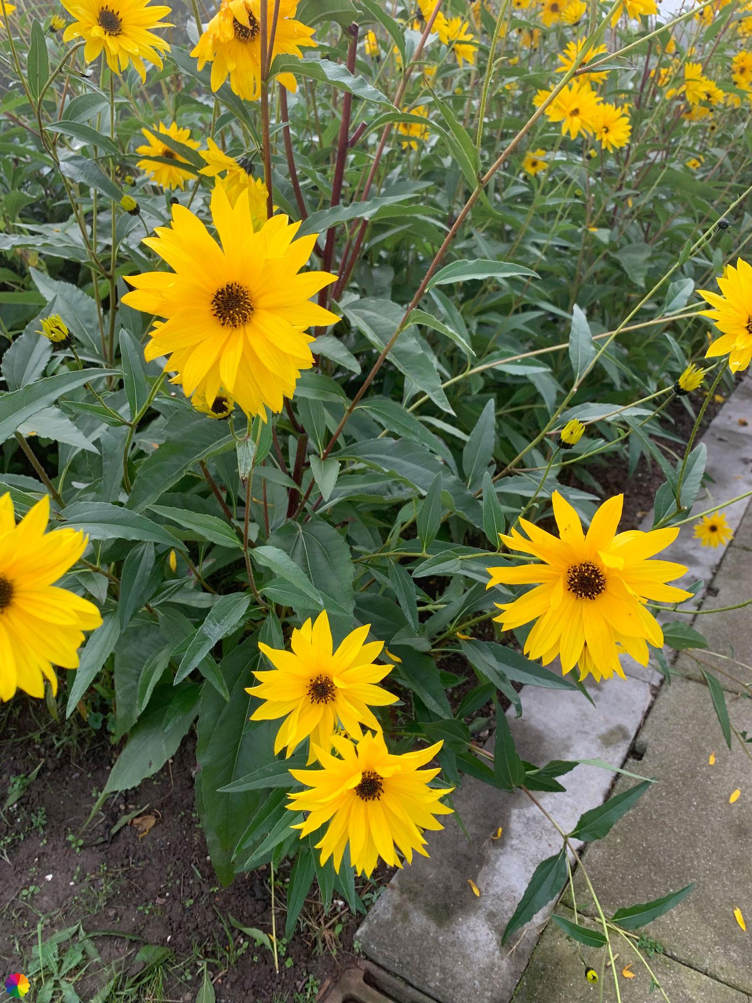
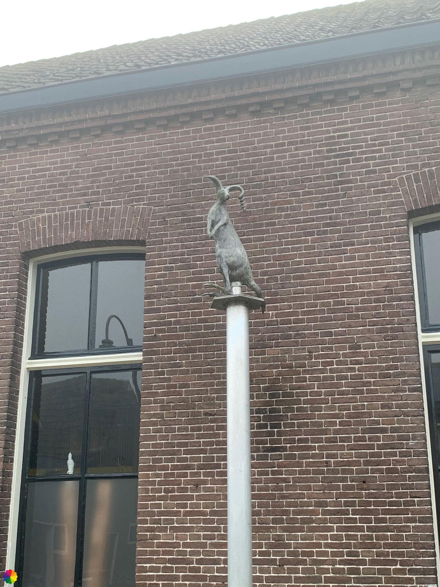
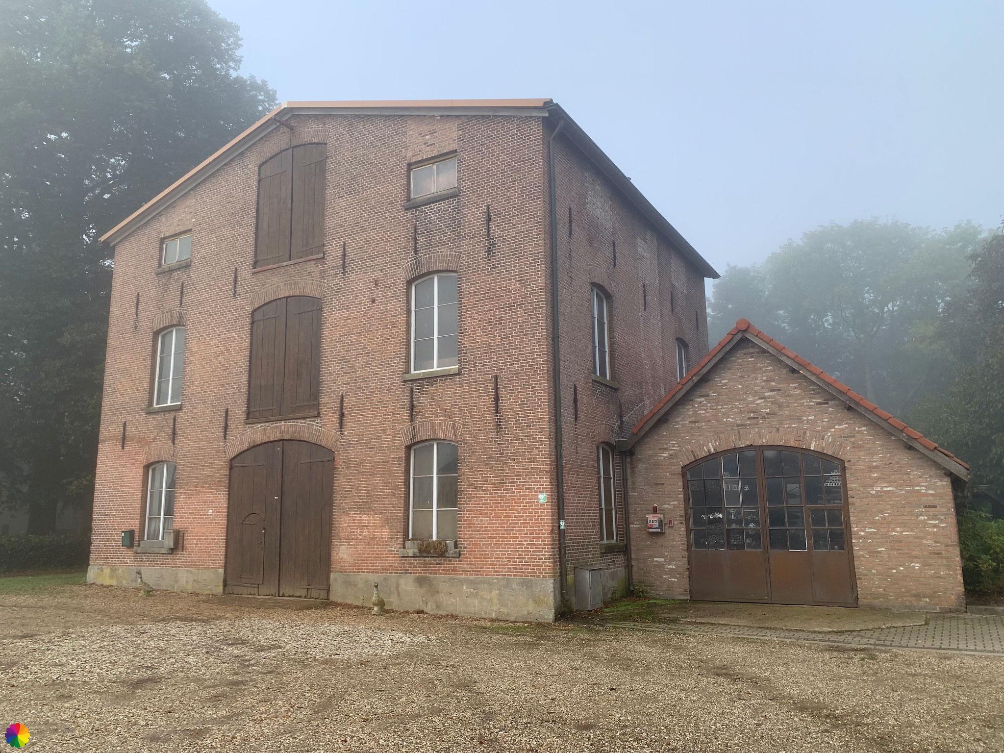
At a beautiful house on the edge of Loenen estate, I turn right. I am now near the town of Slijk-Ewijk. I first walk through a residential area. I turn right again to head towards the Waalbandijk. On the way I come across pretty flowers, but also a strange kangaroo on a house front. Just at the end of the road is a beautiful, old warehouse.
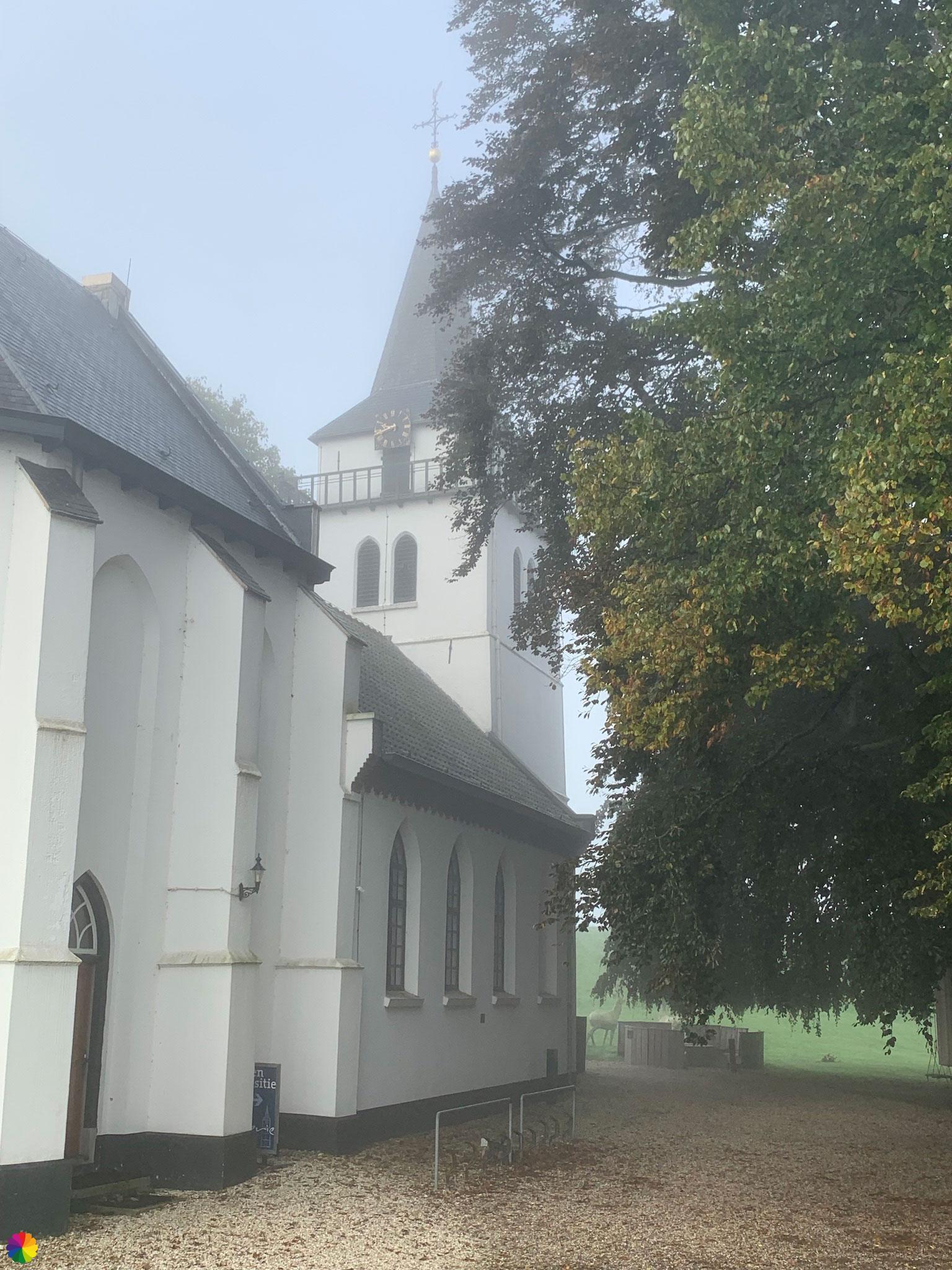
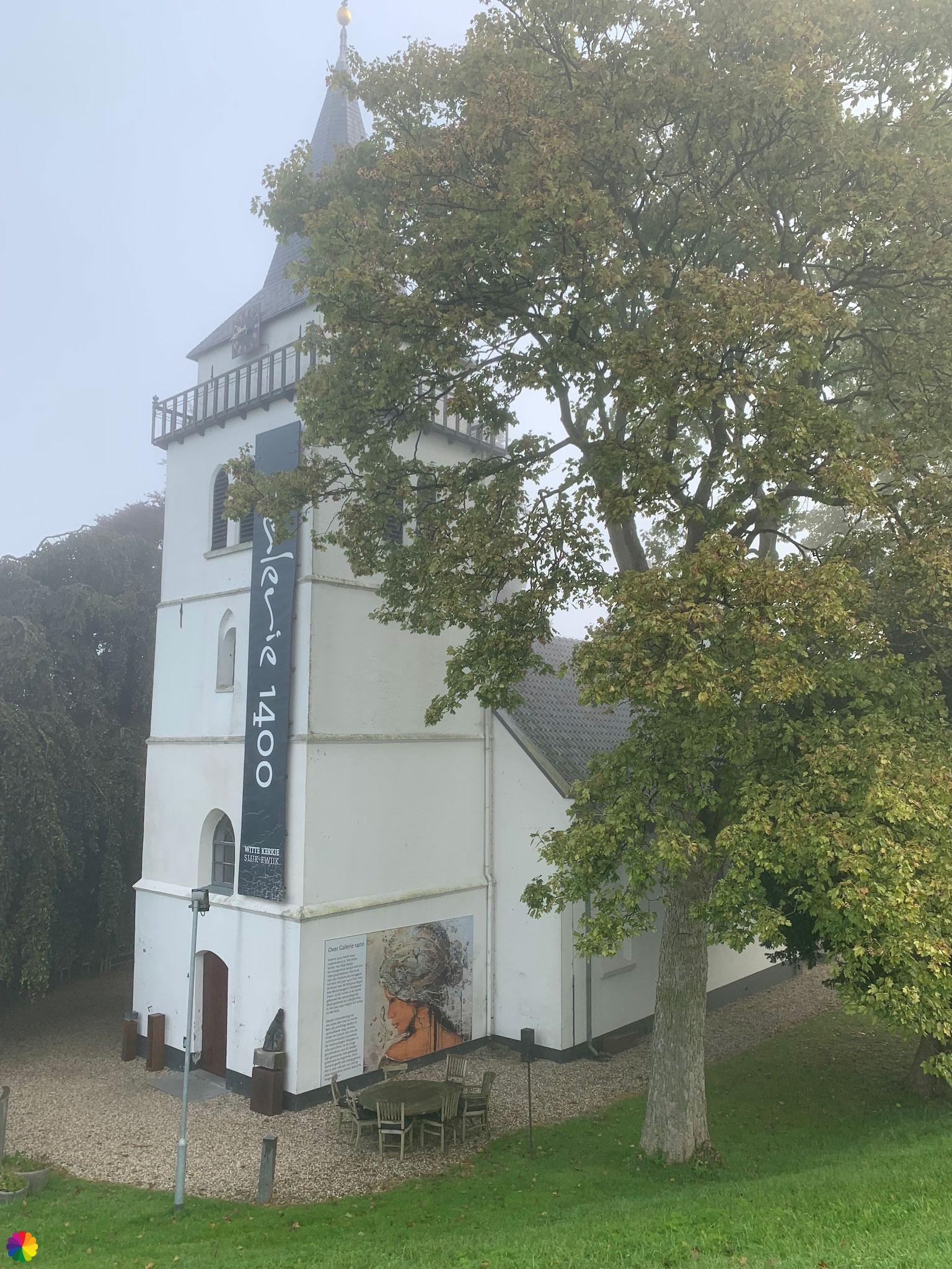
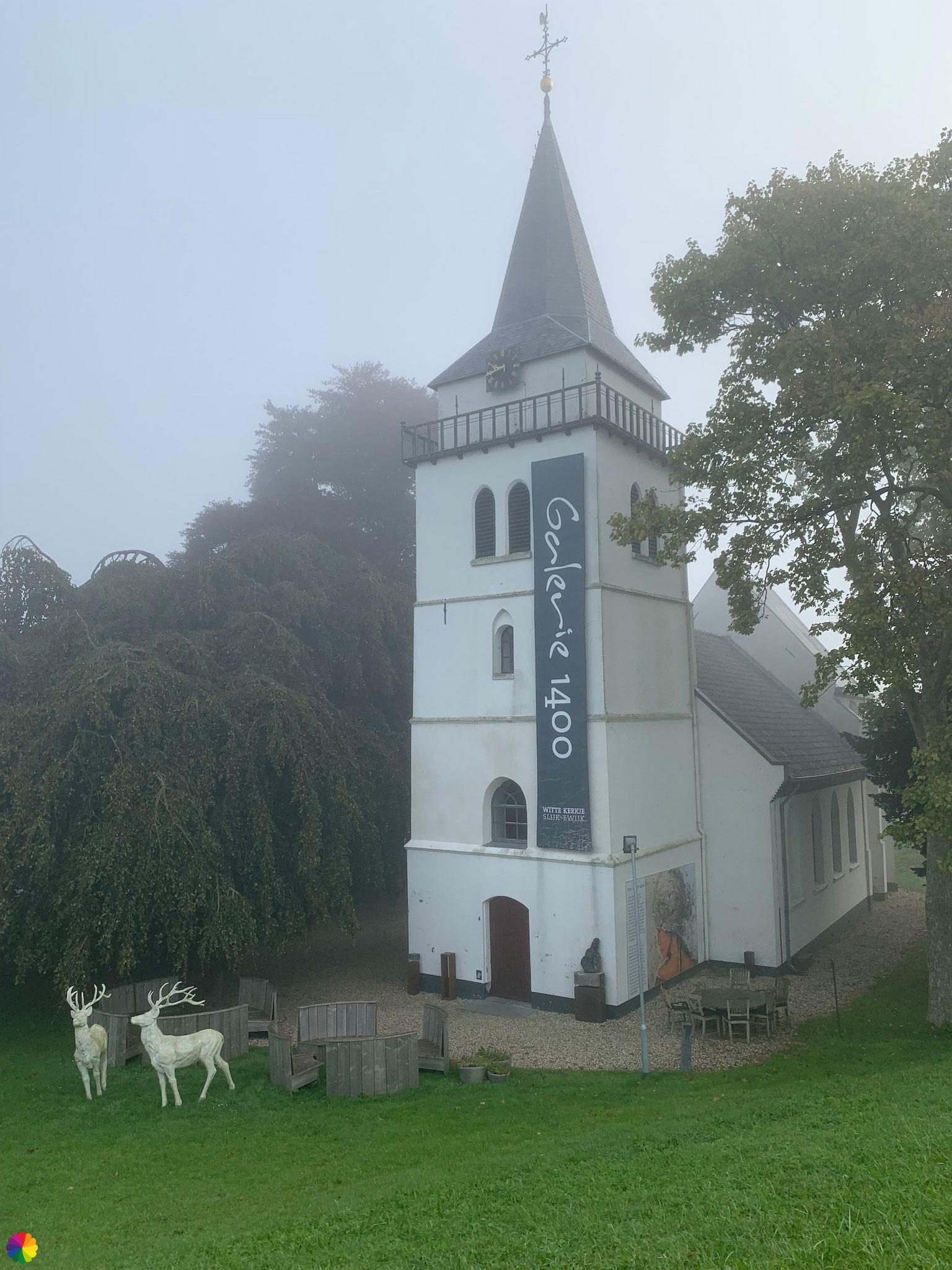
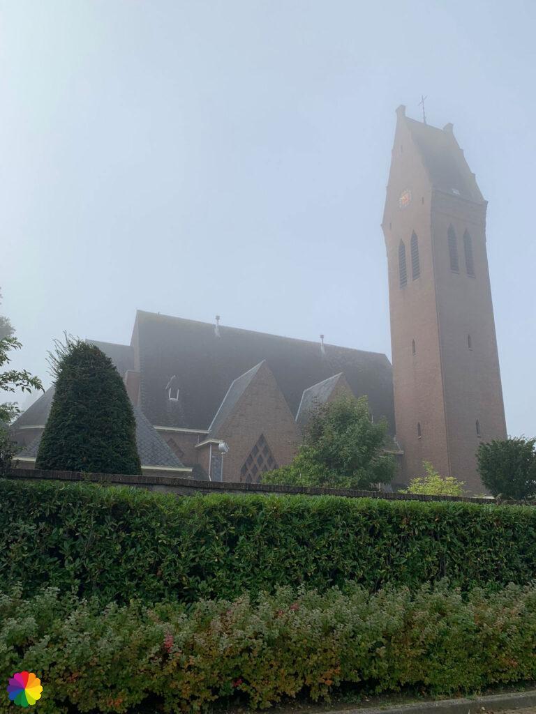
I am near the Waal river, however, i still cannot see it. What I do see is the little white church of Slijk-Ewijk.
There is a roadblock on the dike and the dike appears to be closed. The woman keeping watch says the little church is even prettier from the other side and I go back down the dike a bit. And she is right. The little church is now used as a gallery space. This is a nice place for a break. I take a seat on a picnic bench next to a beautifully illustrated information panel about Slijk-Ewijk.

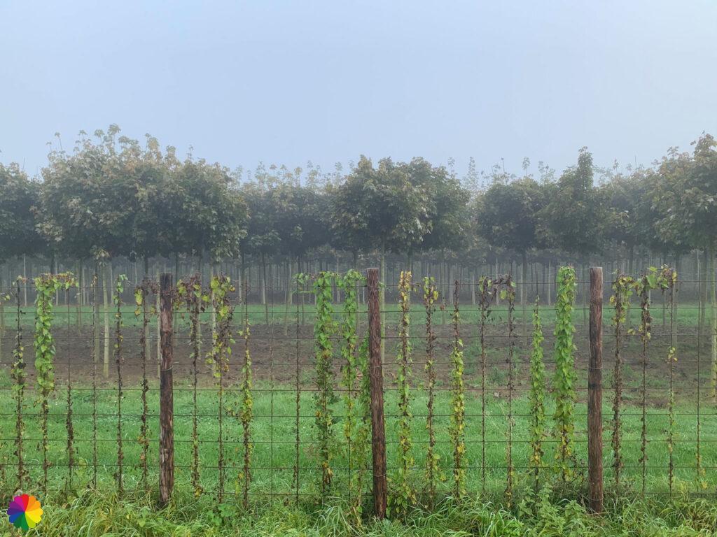
At the roadblock, I ask the woman if I can reach Oosterhout via the dike, but unfortunately this is impossible and I will have to make a detour. I haven’t paid attention to where the dike is closed and decide to pick up the trail again on the dike at Oosterhout. I now have to take the long way back, then in the town straight on and to the right over a cycle path and along a busy road straight on to Oosterhout. This is not a nice diversion and I don’t have any markings either, so I go forward using my own judgement and Google Maps 😉. Along the way, I encounter fruit orchards and more tree plantations.
At Oosterhout, I have to go through a residential area and I see that the dike there is also closed. Fortunately, I just had to go down the dike here and can pick up the trail. I walk past a church and further on turn right towards sports fields.
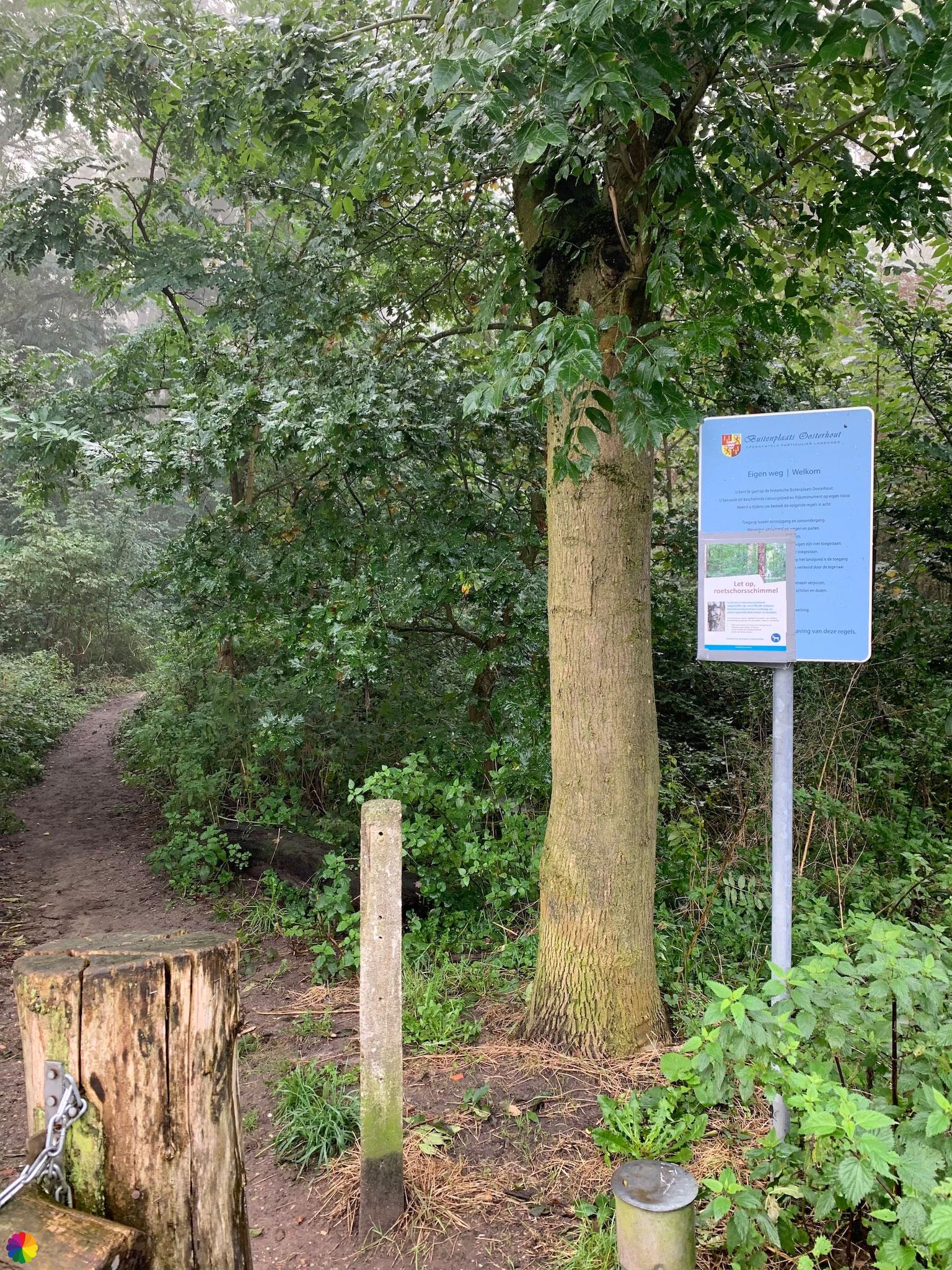
Oosterhout country estate
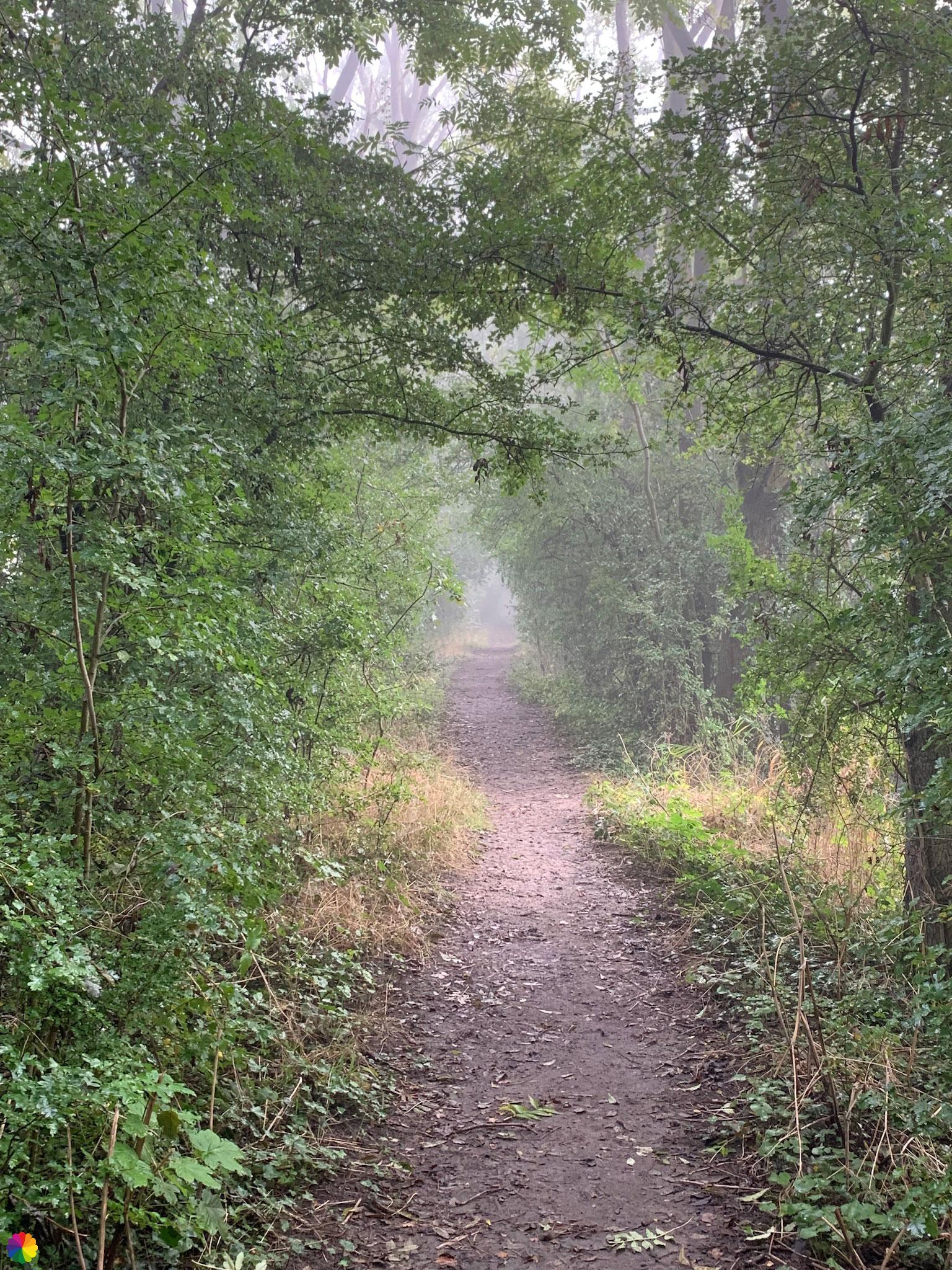
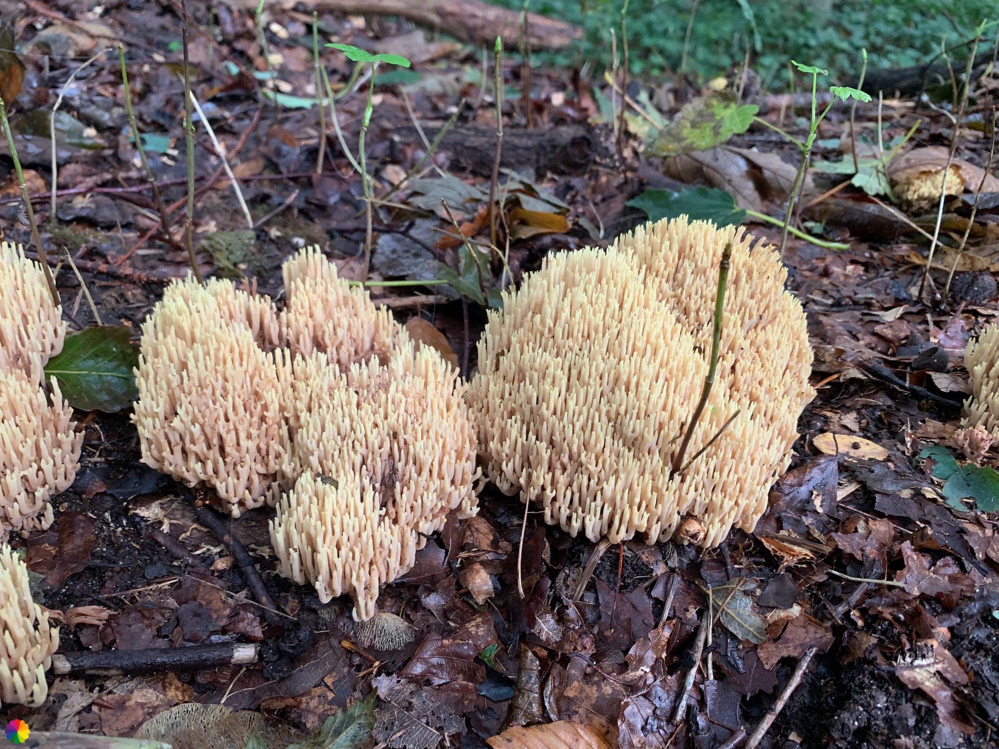
The trail now leads me through Oosterhout country estate. Finally a nicer surrounding. The country estate turns out to consist mainly of forest. I didn’t expect that, so close to the Waal river! I walk along still foggy avenues of trees and come across a mushroom here and there. I see another sign that the dike is closed. Here I don’t have to go up the dike yet, so that is a relief.

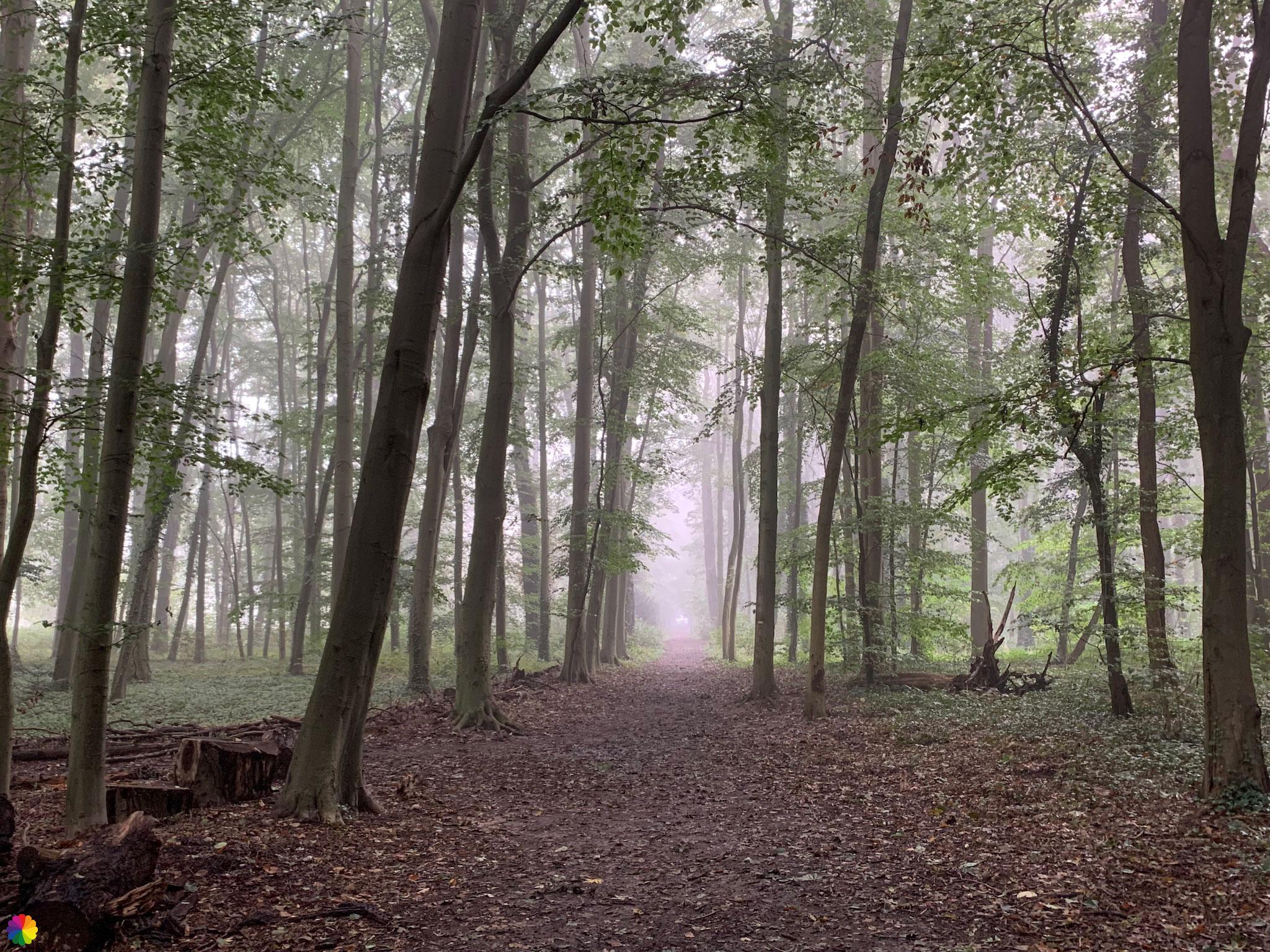
I walk up a hill with a viewpoint. From the hill several paths go down in a star shape. I have to look carefully in the booklet to see which path to take. The path becomes more and more densely vegetated and leads with another right turn towards the dike. Will I make it up the dike here? But no, there is another sign saying the dike is closed. Then something (finally) begins to dawn on me that there might be a diversion. I check the wandelnet website and indeed, I should have crossed the bridge at Herveld-Zuid anyway. To then follow the diversion trail on the other side of the Waal river 🤦🏻♀️.
Unfortunately, I am already way too far to go back. In retrospect, I could also have taken a ferry at Slijk-Ewijk to the other side. But then again, it’s too late for that too. Although the fog also throws havoc on a ferry crossing.
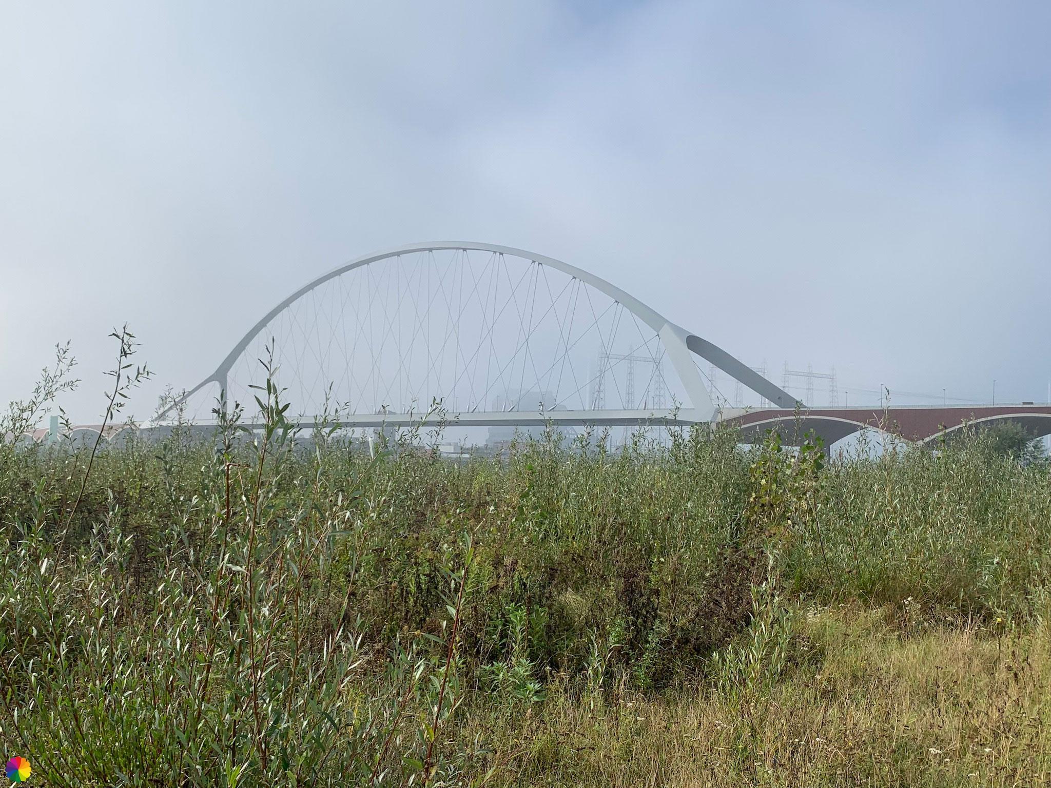
I turn back and via a side path I am out of the forest. Then a dull path to Lent follows and I have to head towards Nijmegen via a neighbourhood under construction. I am almost there! I just have to get to the island in the Waal river called Veur-Lent and then into Nijmegen via a bridge. But I get hopelessly lost in the new residential area. I get stuck at the Aldi supermarket and in the distance (the fog has lifted a bit by now) I see a small bridge to the island. I just can’t get there. In a slight panic, I try to walk towards the dike via a dirt road (where there is construction traffic and where I am not actually allowed to go), but decide to cross the adjacent bridge anyway. Halfway across the bridge, I can get onto the island after all. This was the best decision of the day, as the smaller bridge was also closed.


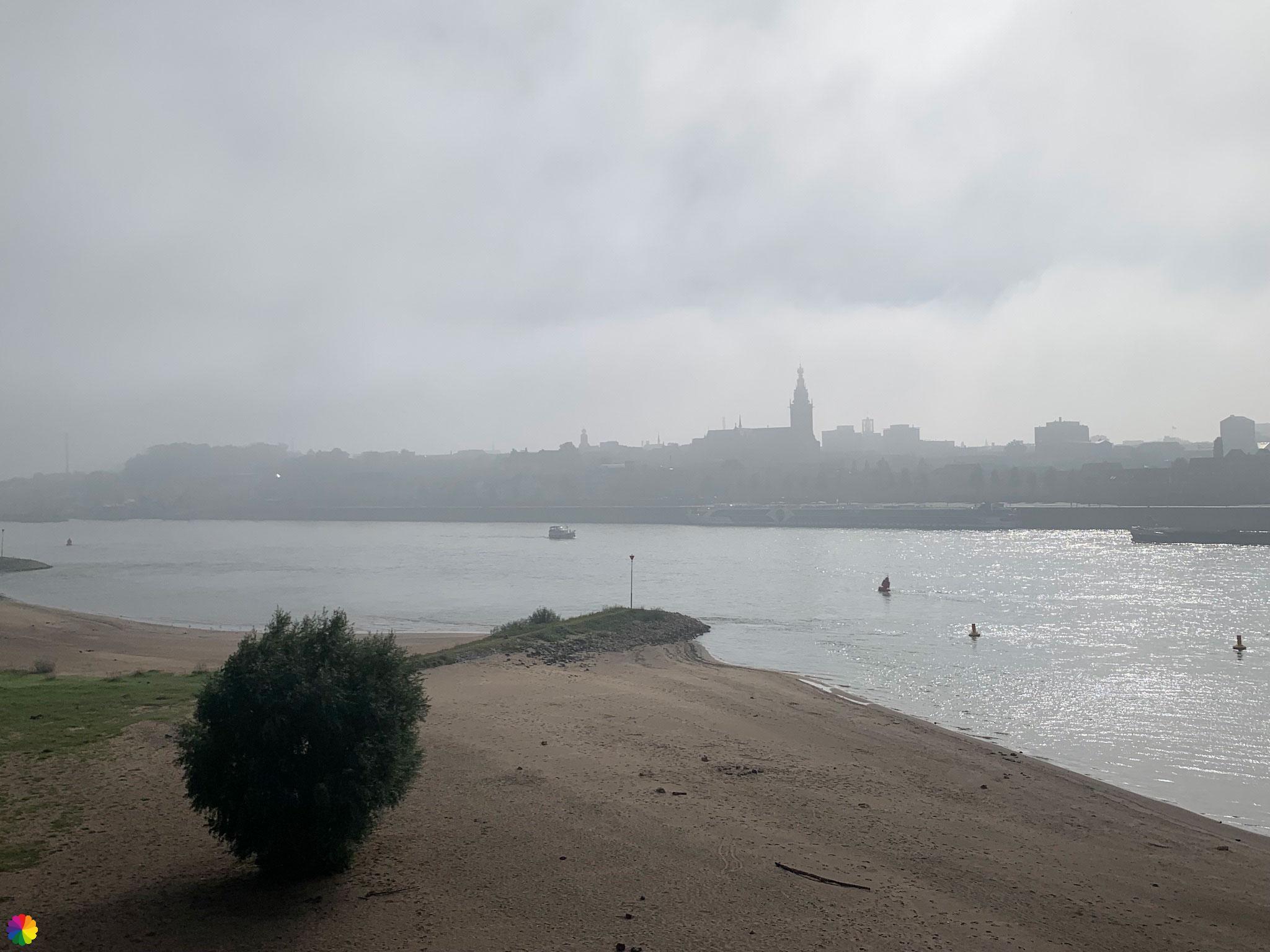
Opened in 2013, the Oversteek bridge is named after the Waal crossing, part of Operation Market Garden in World War II, where 48 soldiers lost their lives. Every day at sunset, 48 pairs of light poles are switched on pair by pair from south to north as a tribute. At least one veteran walks along every day, which is called the Sunset March.
Source (in Dutch): Wikipedia
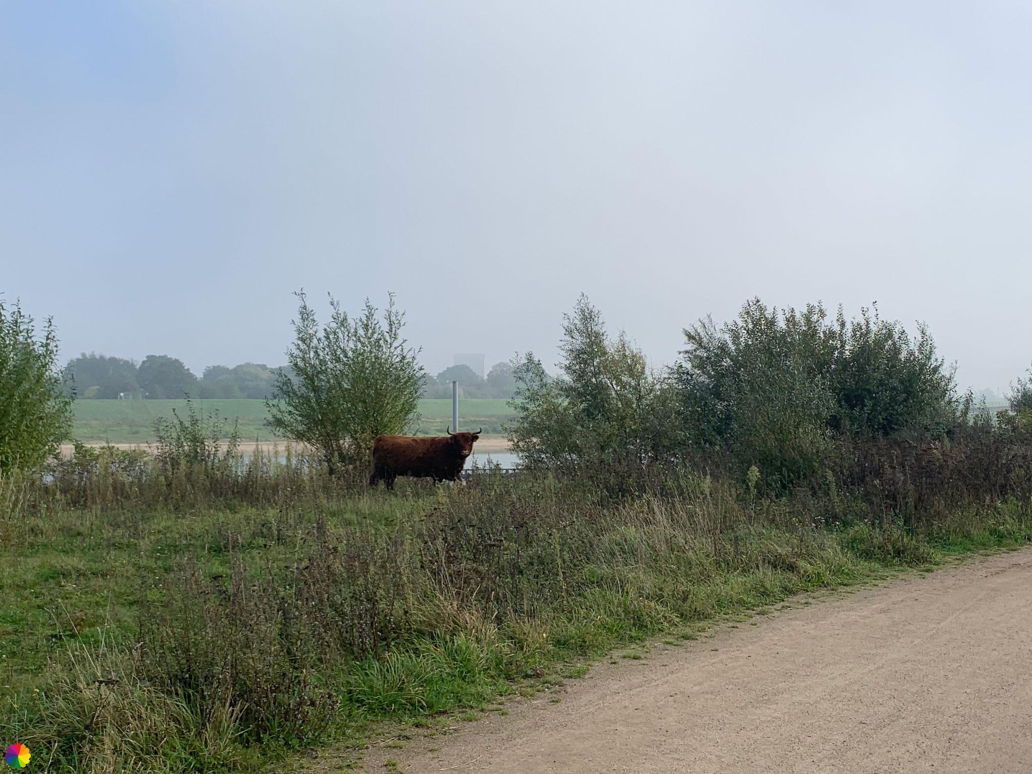
On the island, I have calmed down and I can enjoy my hike again. I walk quietly along the beautiful vegetation. The island is popular, crowded with other hikers and runners. The highland cattle staying on the island don’t take much notice. I take a quick photo, though, as one is busy rubbing its horns on a bush.
Further on, I leave the island via a bridge and walk through a nice little gate into Nijmegen. One more section and I have completed (the Dutch part) of the Great rivers trail!
Final thoughts
All in all, it was still a nice trail, too bad I didn’t realise until late that there was a diversion. Loenen estate, Oosterhout country estate and last but not least, the little white church of Slijk-Ewijk are worth going the wrong way for 😂. I liked the new residential area in Lent a lot less.
Meanwhile (in 2022), the diversions is still there, so if you own an (old) booklet, check the Wandelnet website first for the trail changes.
More info:
Trail: Section 13 LAW 6 Great rivers trailWhere: from Herveld-Zuid to Nijmegen, Gelderland, the Netherlands.
No. of km: +/- 20 km
Hiking date: 8 October 2021
Materials used in illustrations: Coloured pencils for the map and watercolour paints for other illustrations
Rating: ⭐⭐⭐
Pin this hike
Would you like to do this fine hike as well? Pin this hike on Pinterest to save for later!

More hikes with clumsiness
Does anything ever go wrong for you while hiking? Share your experience and leave a comment below this post!
With me, things sometimes go wrong while hiking, partly due to my own clumsiness (ignoring missed markings). Fortunately, things always land on their feet. Read three more blogs featuring clumsiness here:
ColourFlux Studio makes use of so-called affiliate links. If you buy a product through the link in an advertisement, ColourFlux Studio receives a small amount. There are no additional costs for the buyer.
Back to Blog.