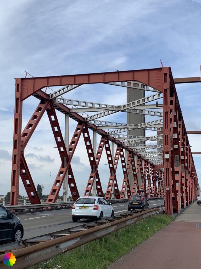
Today I will continue a little further along the Great Rivers trail. I start at the Spijkenisser bridge on the side of Hoogvliet. Last time I stopped here. I intend to walk at least as far as Heenvliet. If my legs want to go even further and I still feel like it, I can go further to Zwartewaal. It is a hike with lots of dikes, sheep and climbing over fences.
Past Spijkenisse
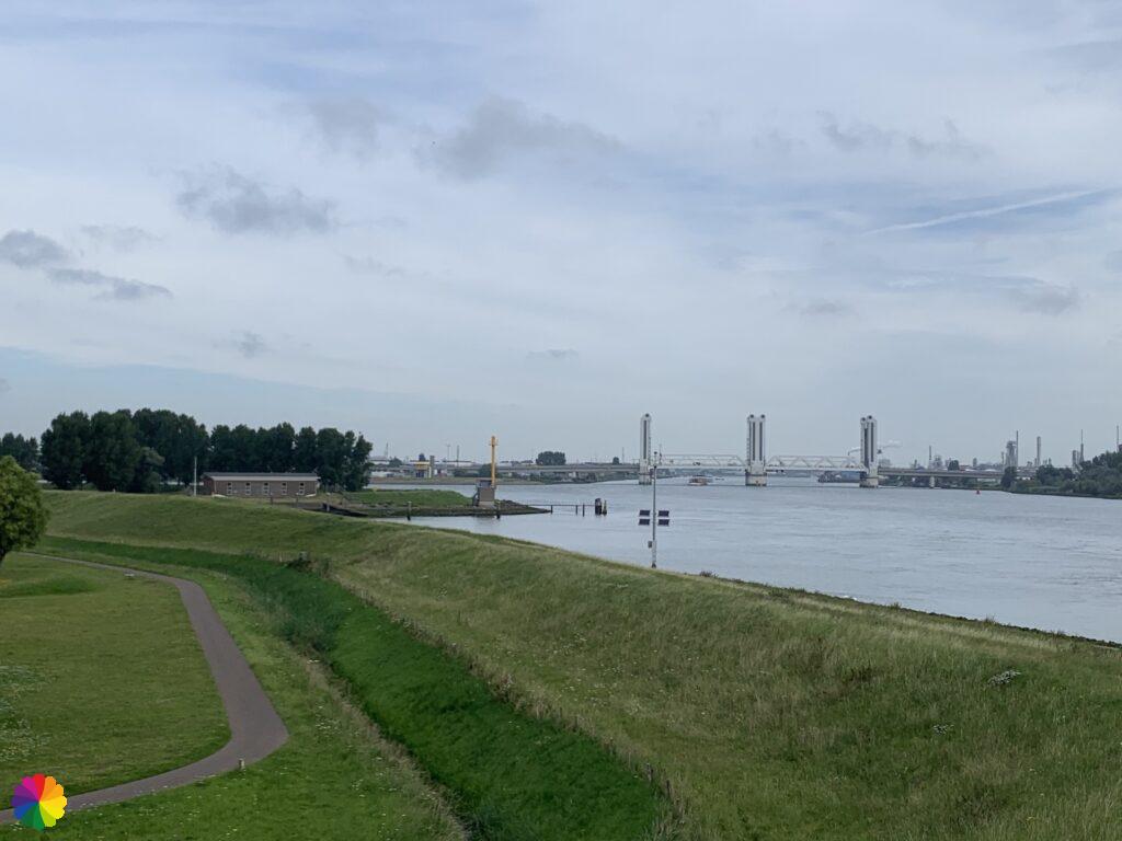
It is a beautiful summer day with a temperature of around 20 degrees. I cross the bridge to the side of Spijkenisse.

Immediately after the bridge, I have to turn right across a grassy dike. Another dike covered with thistles. I’m glad I’m not wearing shorts. At the end of the dike I climb over a fence and turn left. I have left the Oude Maas behind me.
I take the next road to the right. I don’t see any markings, most of the time this means: go straight ahead. I look in the booklet and I think I should indeed go straight ahead. It turns out that the road bends back to the Spijkenisser bridge. It’s the wrong way after all! I turn around and walk back into the road I first wanted to go into.
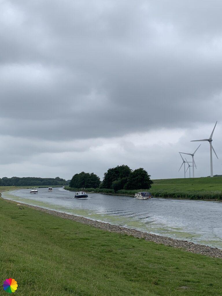
The road goes up a bit steeply and I end up at a small canal and there is the marking again. I have to turn right here. At the end of the path I can only turn left onto the Noordhoekseweg. I walk along the Voedingskanaal.
Other trail guide about the same region
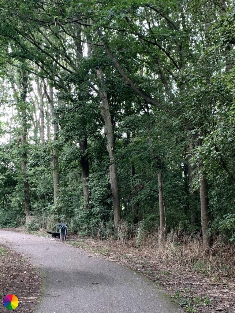
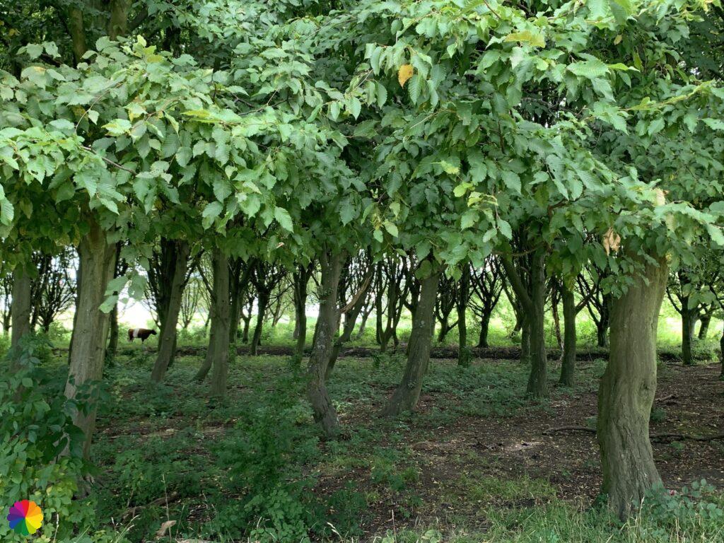
After a while I have to turn left into a piece of forest, this is the Hartelpark. The path winds through the forest, on the way I take a coffee break. At a T-junction I turn left. I walk a lot further but again I don’t see any markings. I take a look at Google maps. I’m going in the right direction to the Zoetwaterkanaal bridge. I keep on walking. The markings are nowhere to be seen. I went the wrong way again. I take a look at the trail booklet and compare it with Google maps. Aha! I have to go under the bridge, this direction leads me right over the bridge. Pff, I’m going back the same way again. At a certain point I see where I missed the mark: I should have turned right at the T-junction 🤦🏻♀️. The path bends to the left again and I can go under the bridge a little further on.
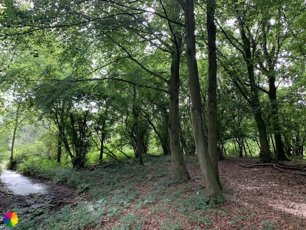
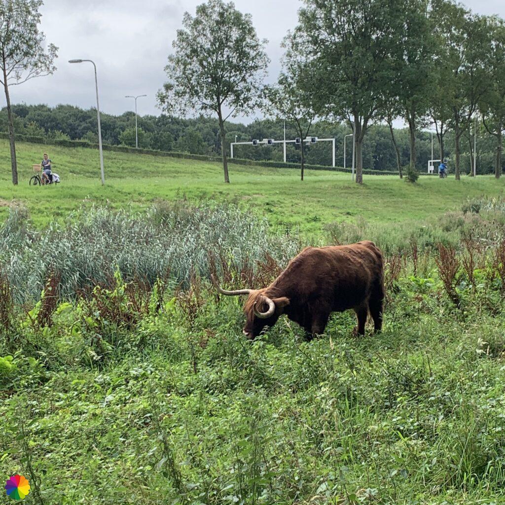
After the bridge I turn left again and have to cross a cattle grid. I already see two Scottish Highland cows further on. Fortunately they are not in the way. I turn right again into a piece of forest. In the distance, between the trees, there is also a cow grazing. At the end of the forest I turn right and then left into the Markenburgweg. Now I walk along the Voedingskanaal again.
Dike and sheep
At the corner of a field, I have to cross over a small fence. I walk through the grass to the dike. There are a lot of sheep here. Some walk away, but others stay on the path. Zigzagging between the sheep I walk further down the dike. The sheep look at me when I clumsily climb over the fences.


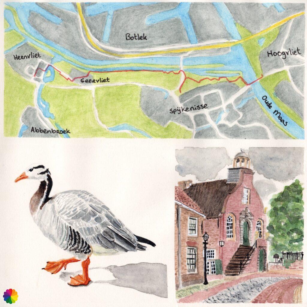
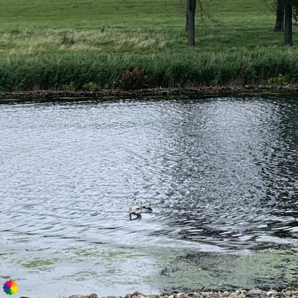
Different kinds of geese shoot quickly into the canal. I see beautiful grey-white geese with a black stripe on their head. Later on I look up what kind of geese they are: bar-headed geese! Of course the geese shoot into the water when I come closer to take a picture. So I made this illustration of a bar-headed goose instead.
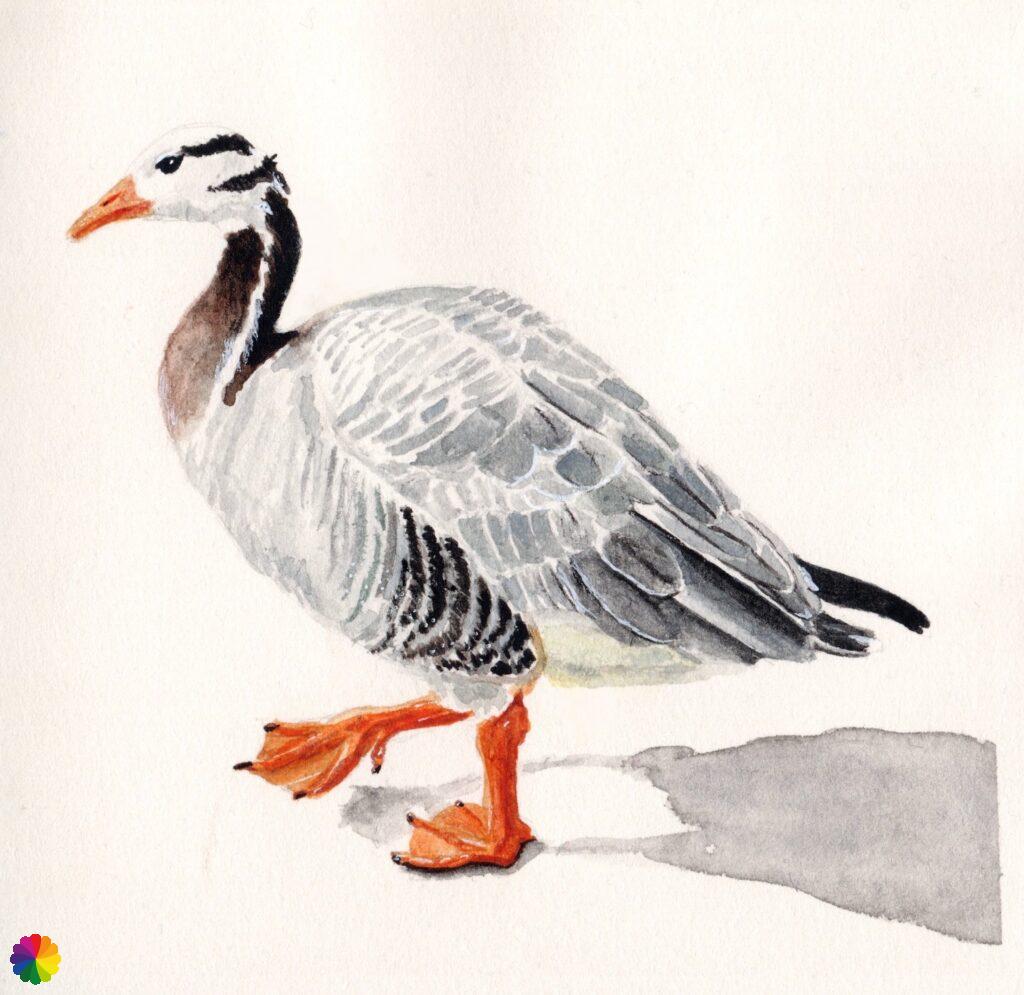

The bar-headed goose is one of the world’s highest flying birds: they can fly at an altitude of up to 10 kilometres. Well, they can fly over the Himalayas!
Sources: Wikipedia en Vogelbescherming (in Dutch)
Geervliet and Heenvliet
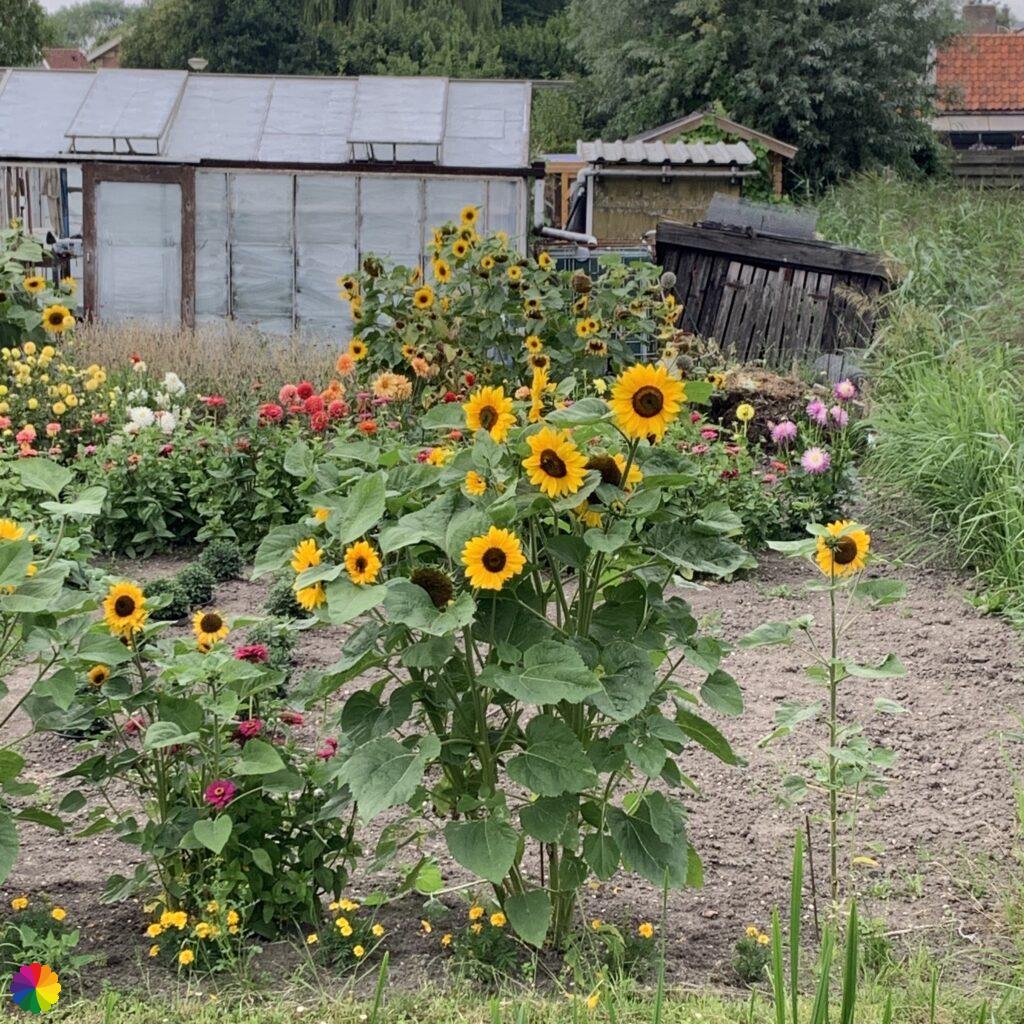
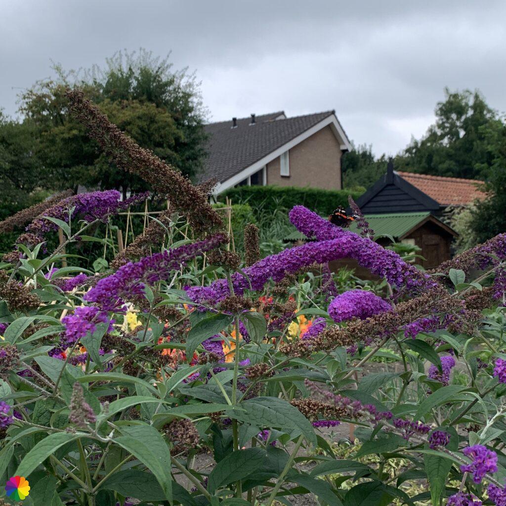
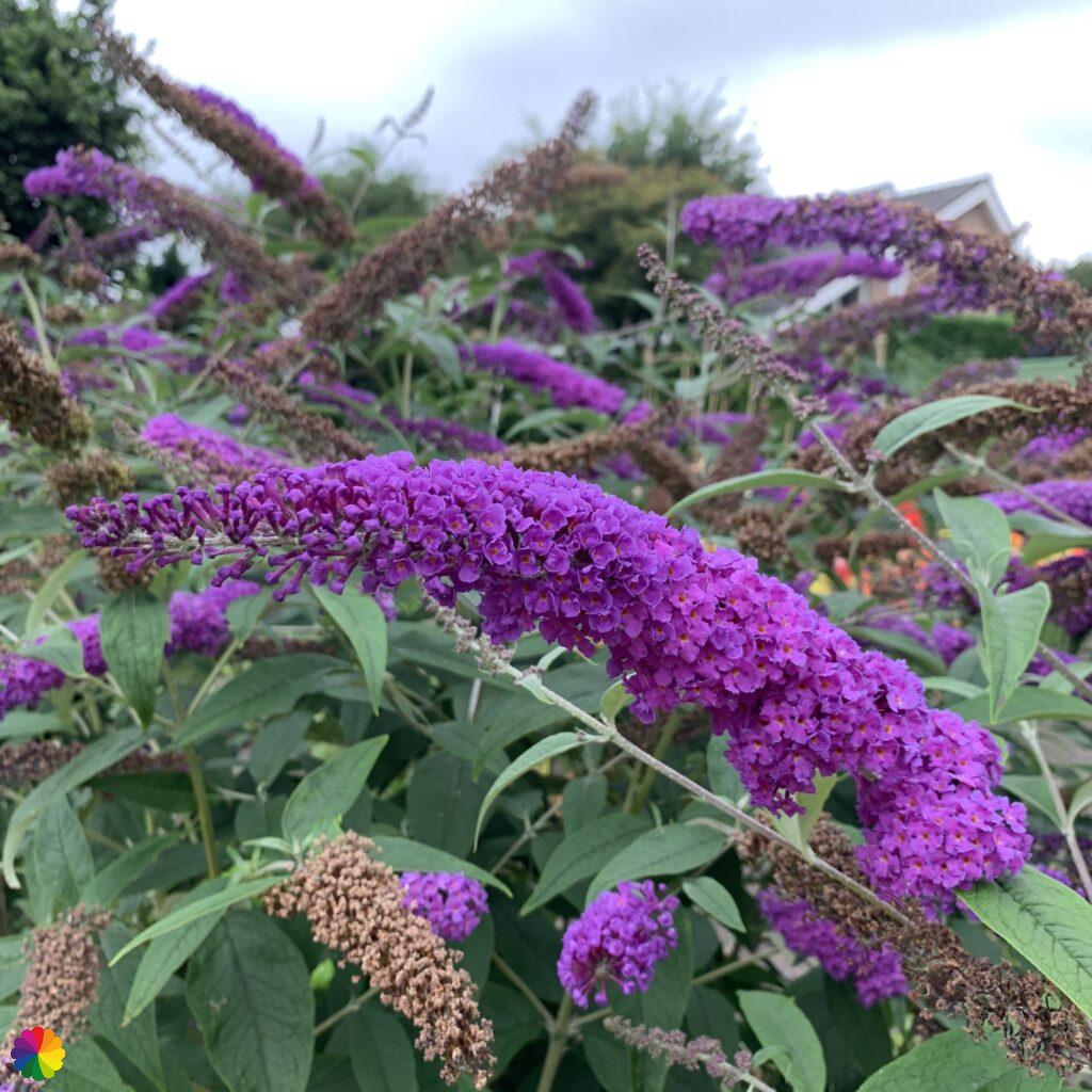
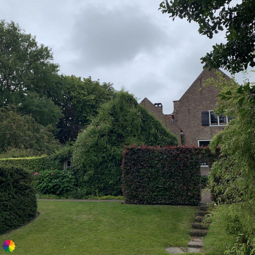
After a long part over the dike I reach Geervliet and go left down the dike into the town. First I go with the bend to the right through a residential area and then I pass an allotment garden with beautiful sunflowers and butterfly bushes.
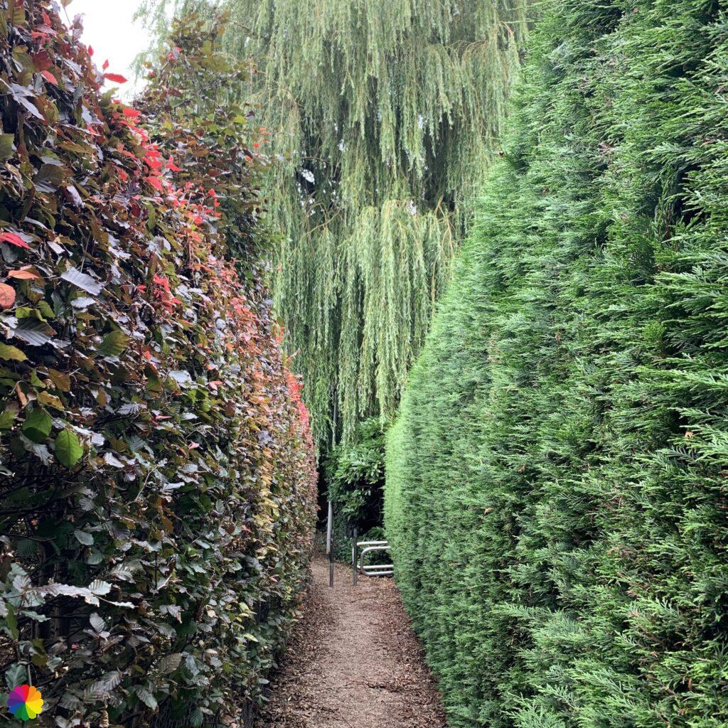
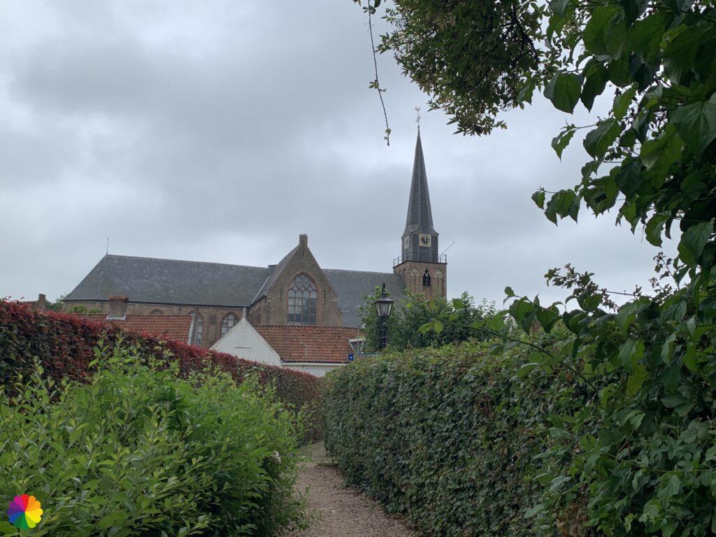
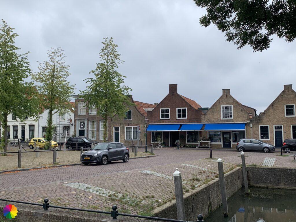
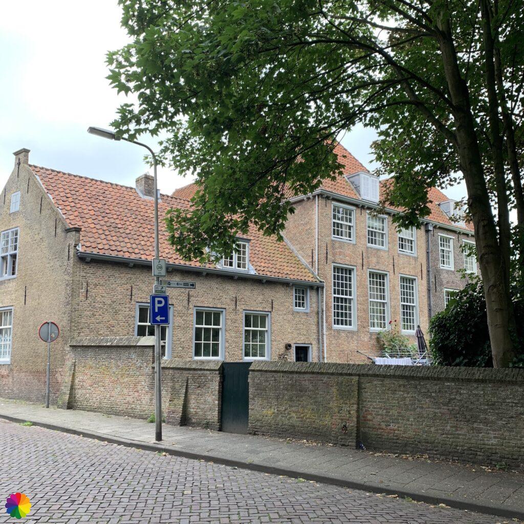
I walk between two hedges and further on I see the church of Geervliet. After the hedge I walk through old, picturesque streets of the town. This is a nicer part of the trail, the previous kilometres were quite boring.
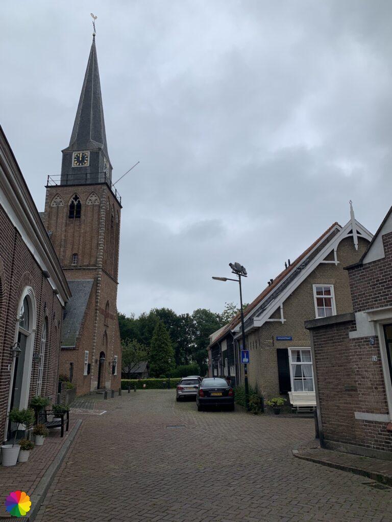
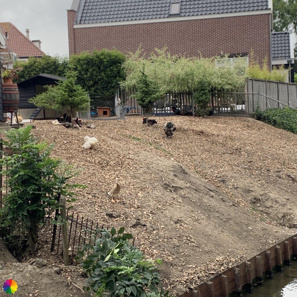
I buy a sandwich at the bakery in the middle of the town. I turn right into the Kaaistraat and at the square opposite of the City Hall (Geervliet has city rights) I sit down on a bench to eat my sandwich. I am sitting at the water’s edge. Across the water I see chickens and ducks. A duck is curious and comes quacking into my direction.
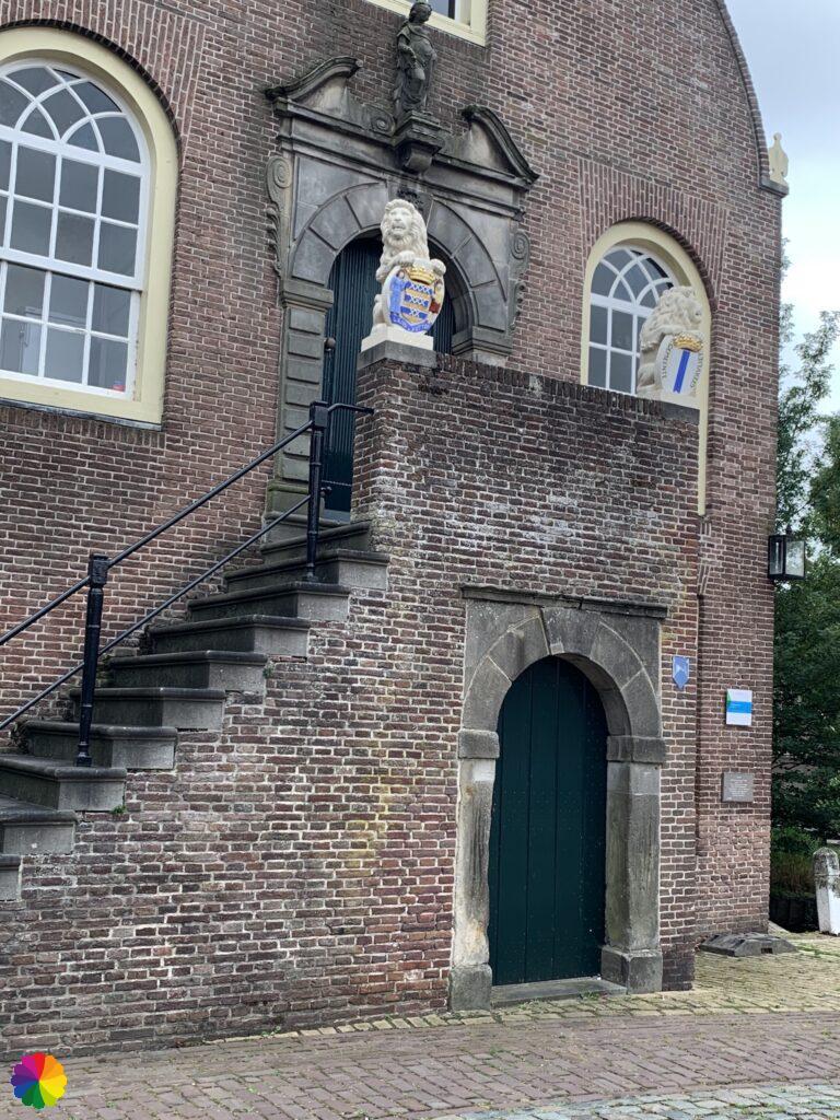

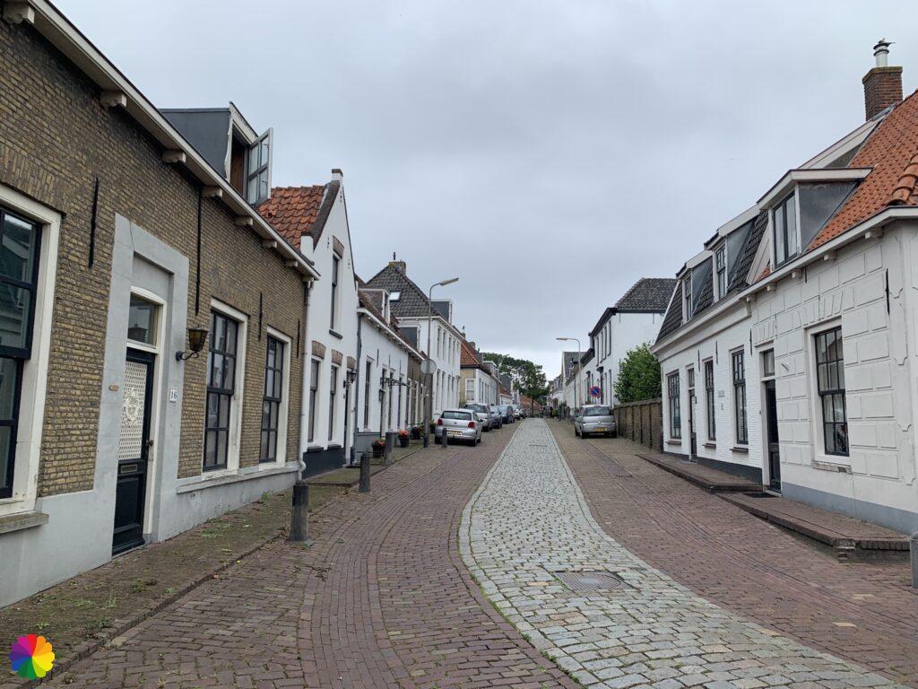
After my lunch I take a few more pictures of the City Hall and continue again. I turn right into the Visserszijde. Soon I left the town behind me. I walk on the cycle path along the Toldijk in the direction of Heenvliet. At Heenvliet I decide to indeed stop my hike here. To get to the bus stop, I have to go through Heenvliet first. I turn left into the town. This town has a nice, historical Market Square.

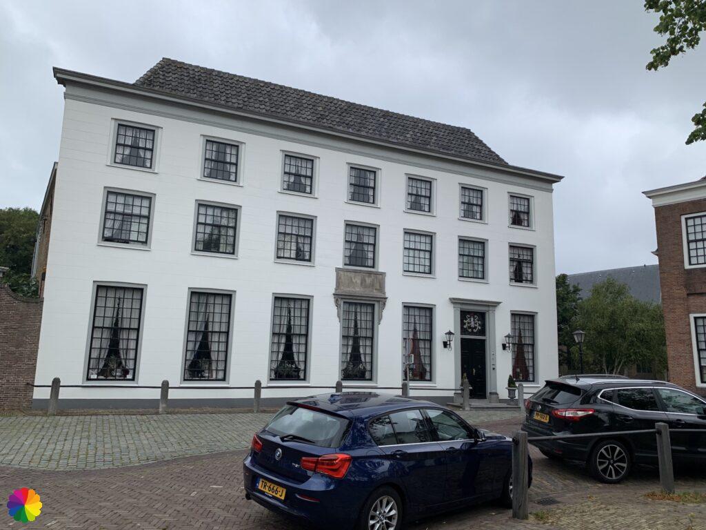
These small cities (Geervliet and Heenvliet both have city rights) were important trading places due to their location at the Bernisse waterway. As a result of the siltation of the Bernisse, the prosperity of the towns has dried up. Both places are government-protected townscapes. They have a historic centre with various national monuments.
Sources (in Dutch):
- Wikipedia Geervliet
- Wikipedia Heenvliet
- Geschiedenis van Zuid-Holland
- Stichting Oud-Geervliet
- Trail booklet Great rivers trail
I walk along the square and turn left through a few old streets. Soon I go through a residential area again and I can find the bus stop further on.
Final thoughts
It was a pretty boring trail this time. Although there was a nice ending with the small cities of Geervliet and Heenvliet. Except for Geervliet and Heenvliet this hike is not really worth repeating.
ColourFlux Studio makes use of so-called affiliate links. If you buy a product through the link in an advertisement, ColourFlux Studio receives a small amount. There are no additional costs for the buyer.
Back to Blog