This time on the Southern Waterline trail, I take extensive time to see the beautiful fortified town of Willemstad. After Willemstad, I walk to the next fortified town Klundert.
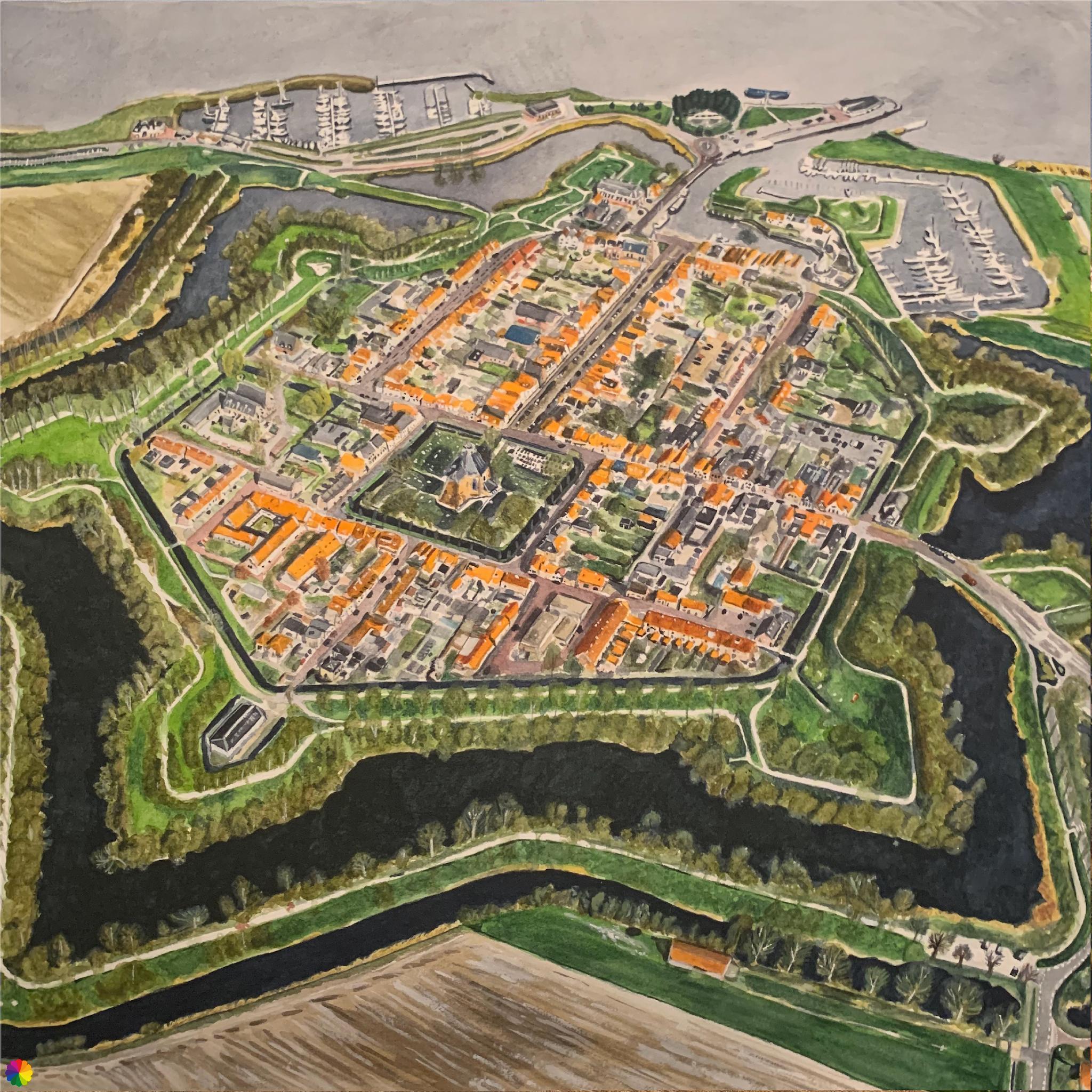
A while back, I commissioned a painting of Willemstad from above. It is nice to see that I can now see the buildings I painted in miniature in real life and also recognise them by their shape.
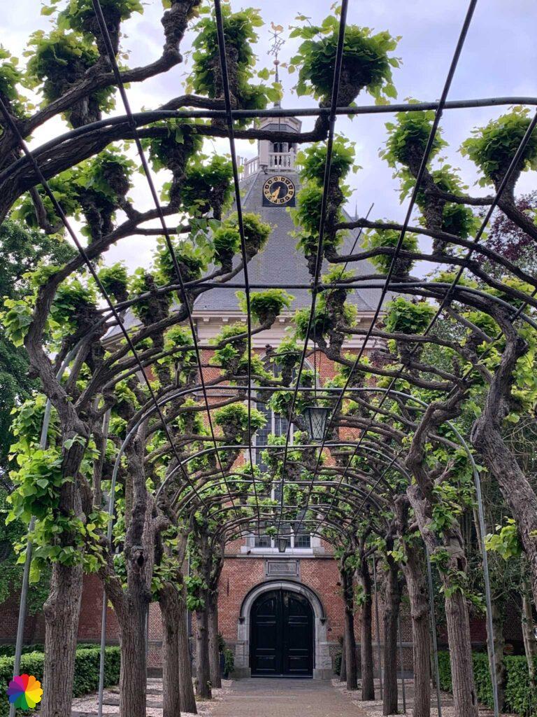
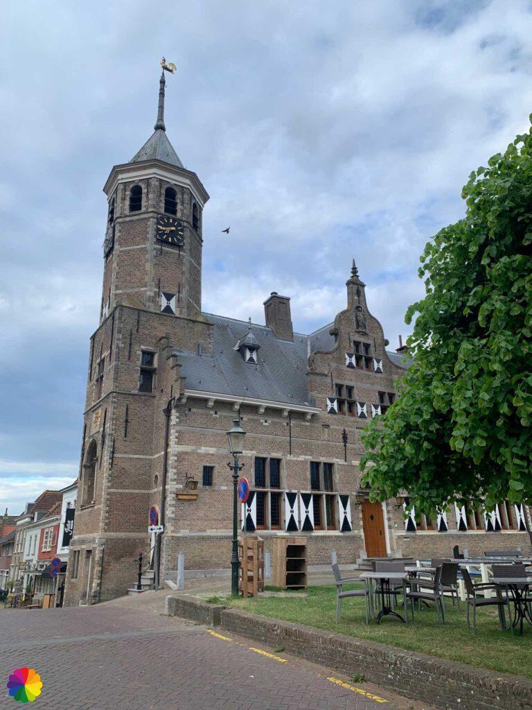
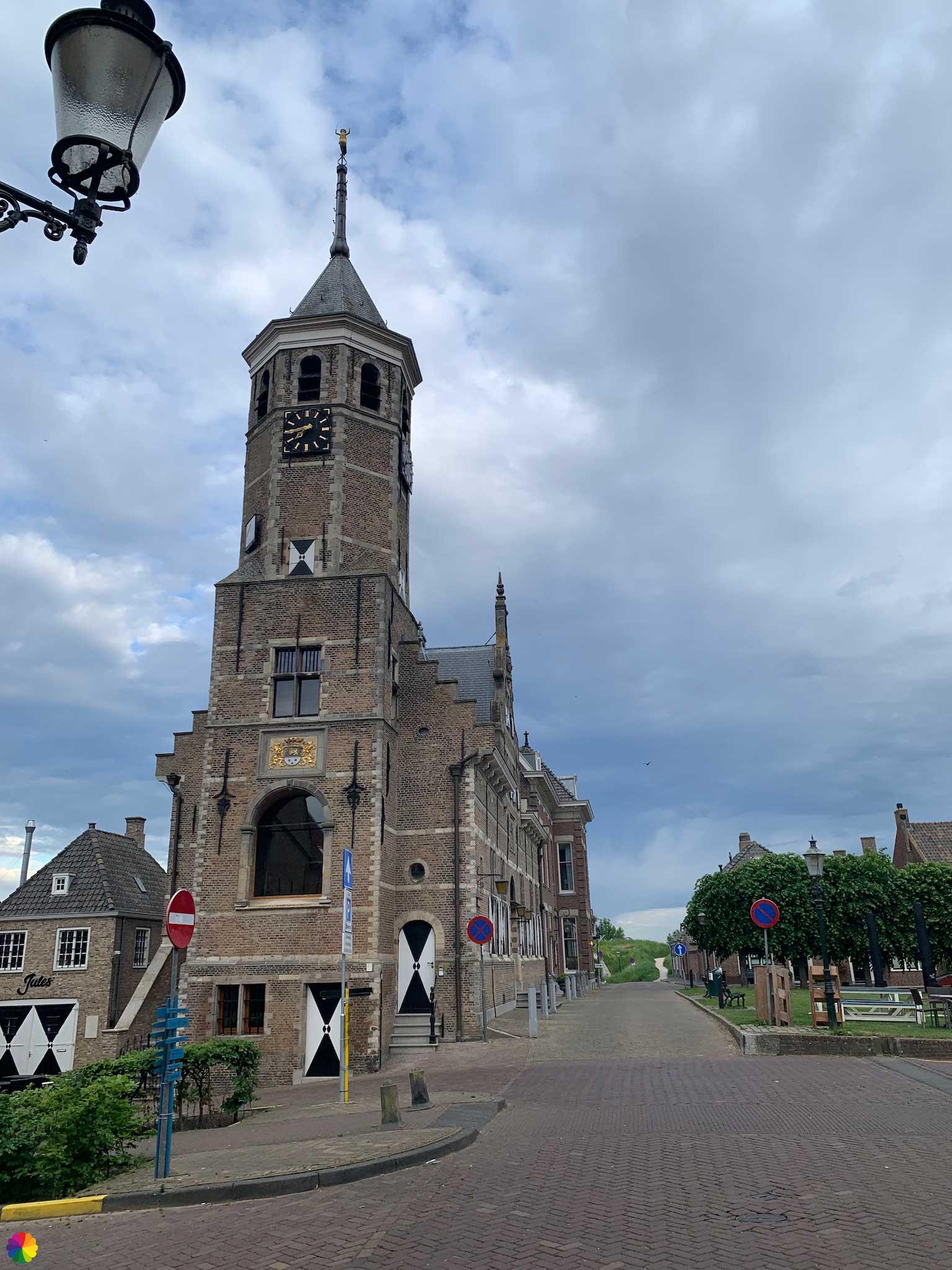
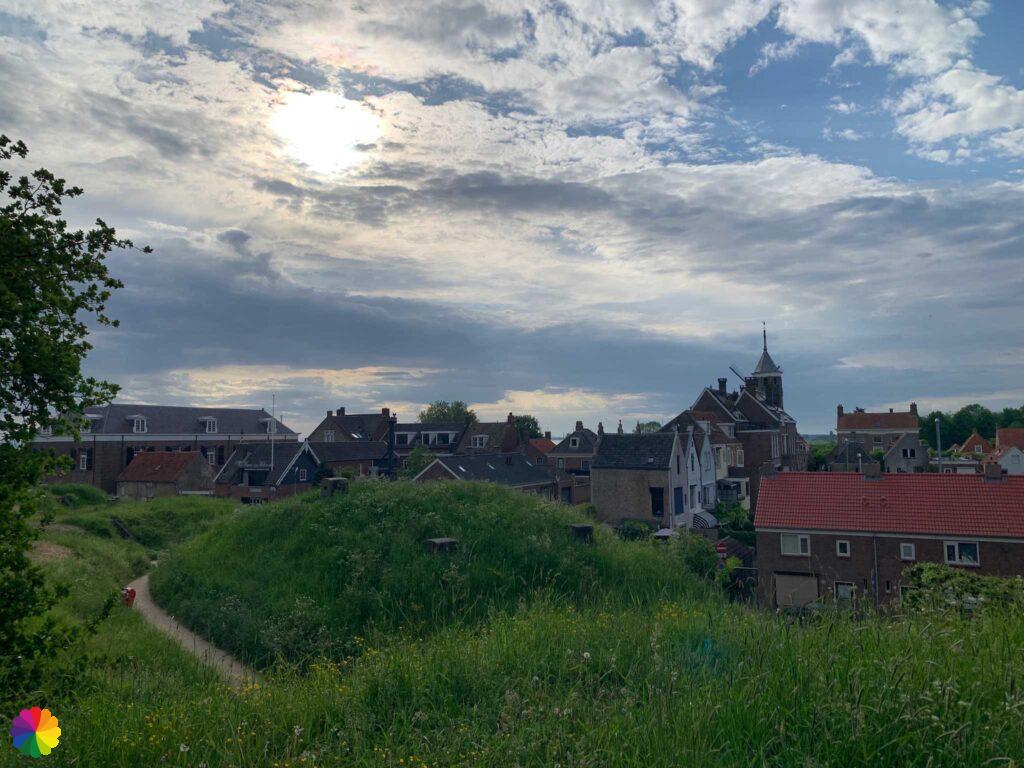
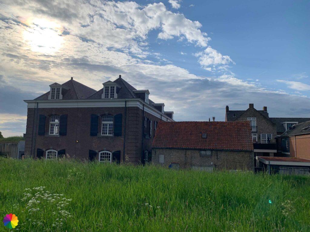
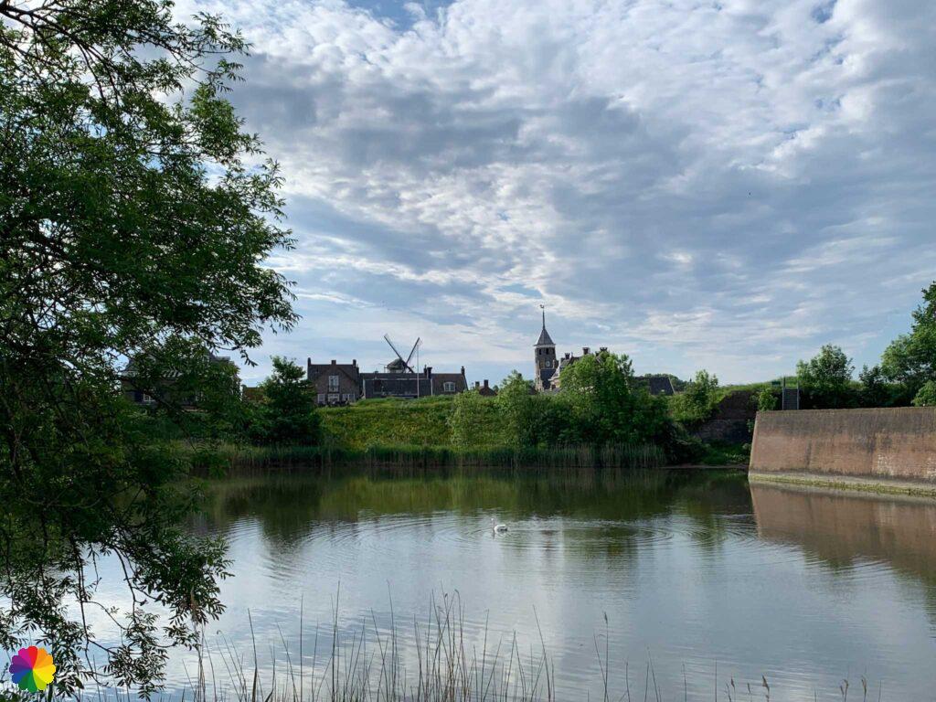
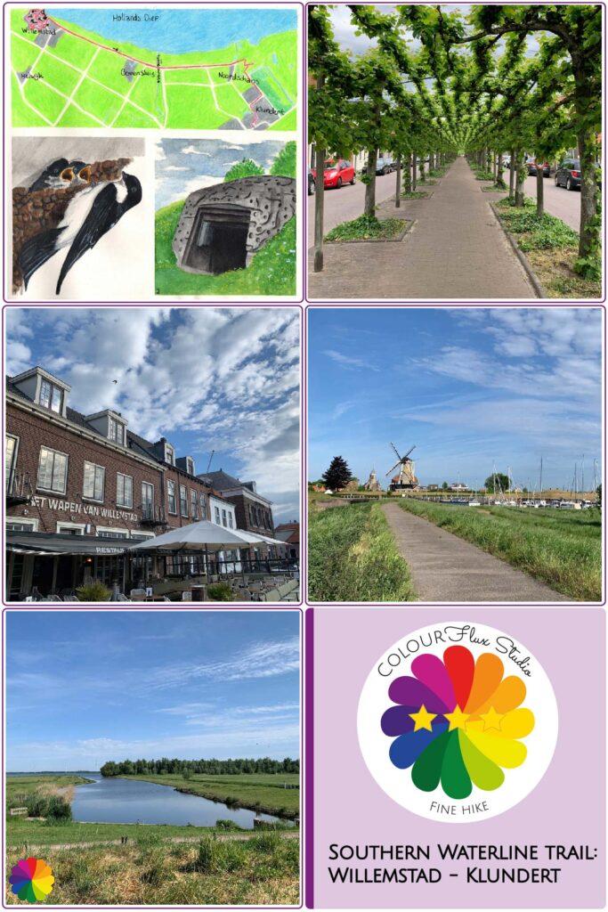
Willemstad from the ground
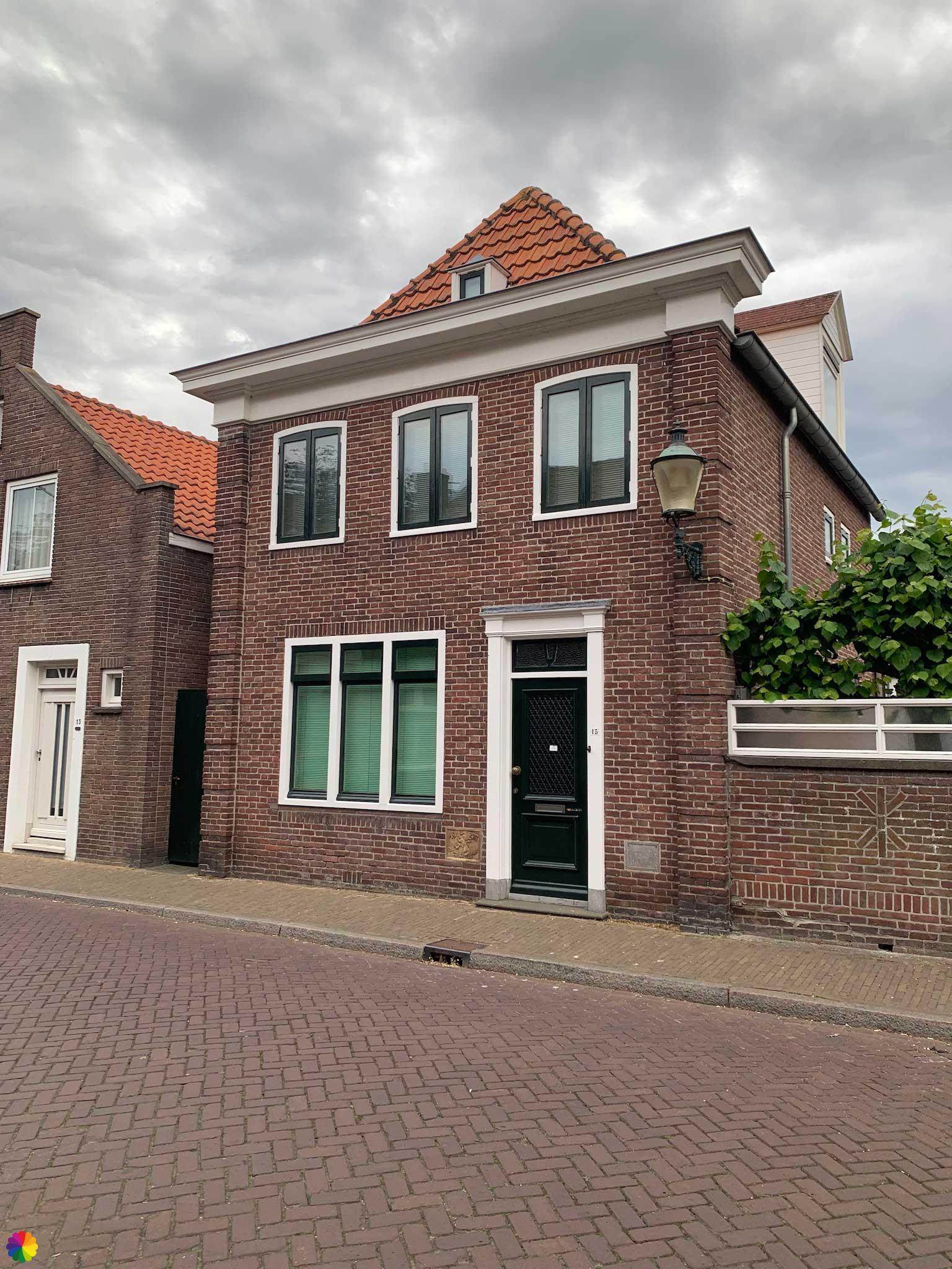
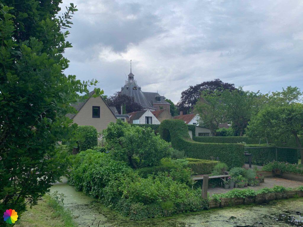
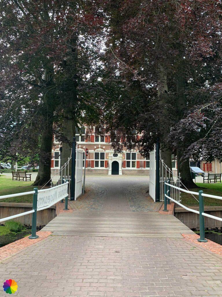
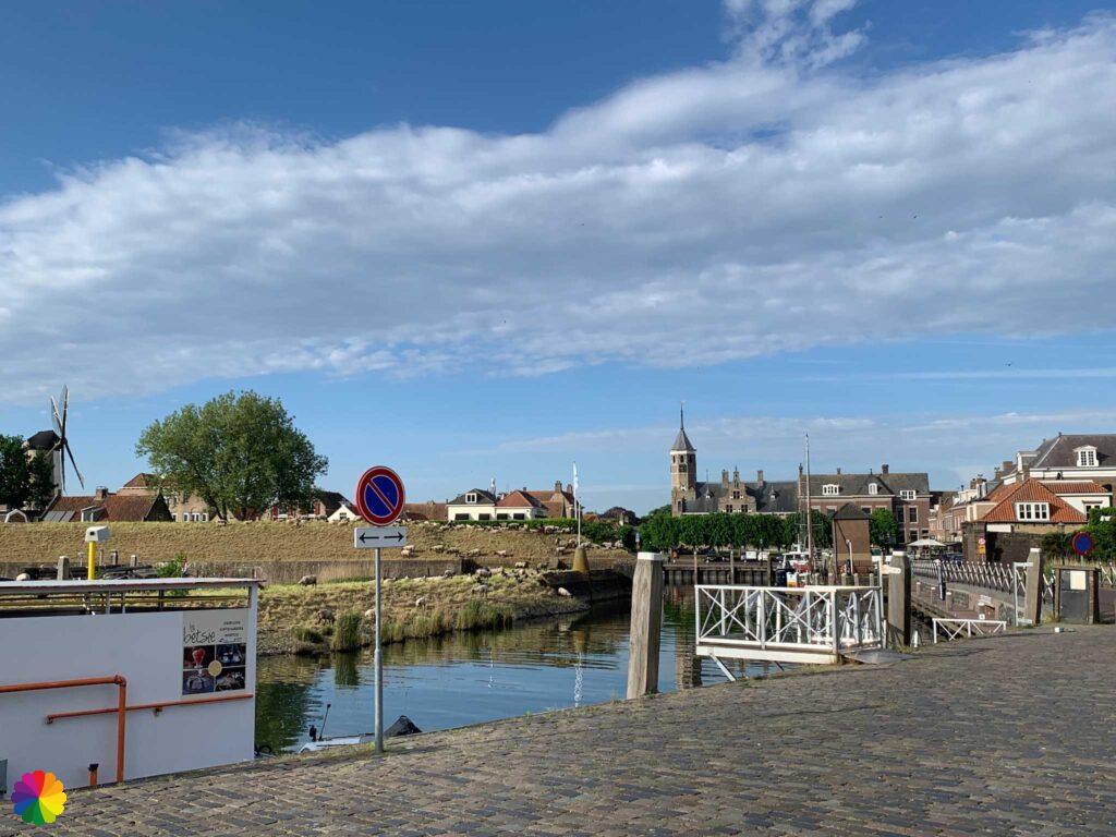
First I walk from the bus stop straight through Willemstad, past the domed church and the Mauritshuis. From the ground, it is difficult to get the buildings in the photo because of the lushly growing trees.


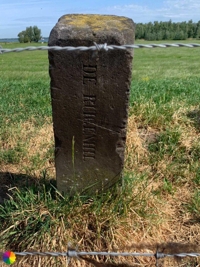
Willemstad is named after William of Orange (known as the founder/father of the Netherlands), who had the village of Ruigenhil fortified into a fortress. His son Prince Maurits granted city rights to the town after his father’s death. Since then, the town was given its official name.
Prince Maurits had the fortress expanded into its current seven-pointed star shape with bastions. Each bastion is named after the Seven Provinces that participated in the battle against Spain: Friesland, Gelderland, Groningen, Holland, Overijssel, Utrecht and Zeeland.
Source (in Dutch): Wikipedia
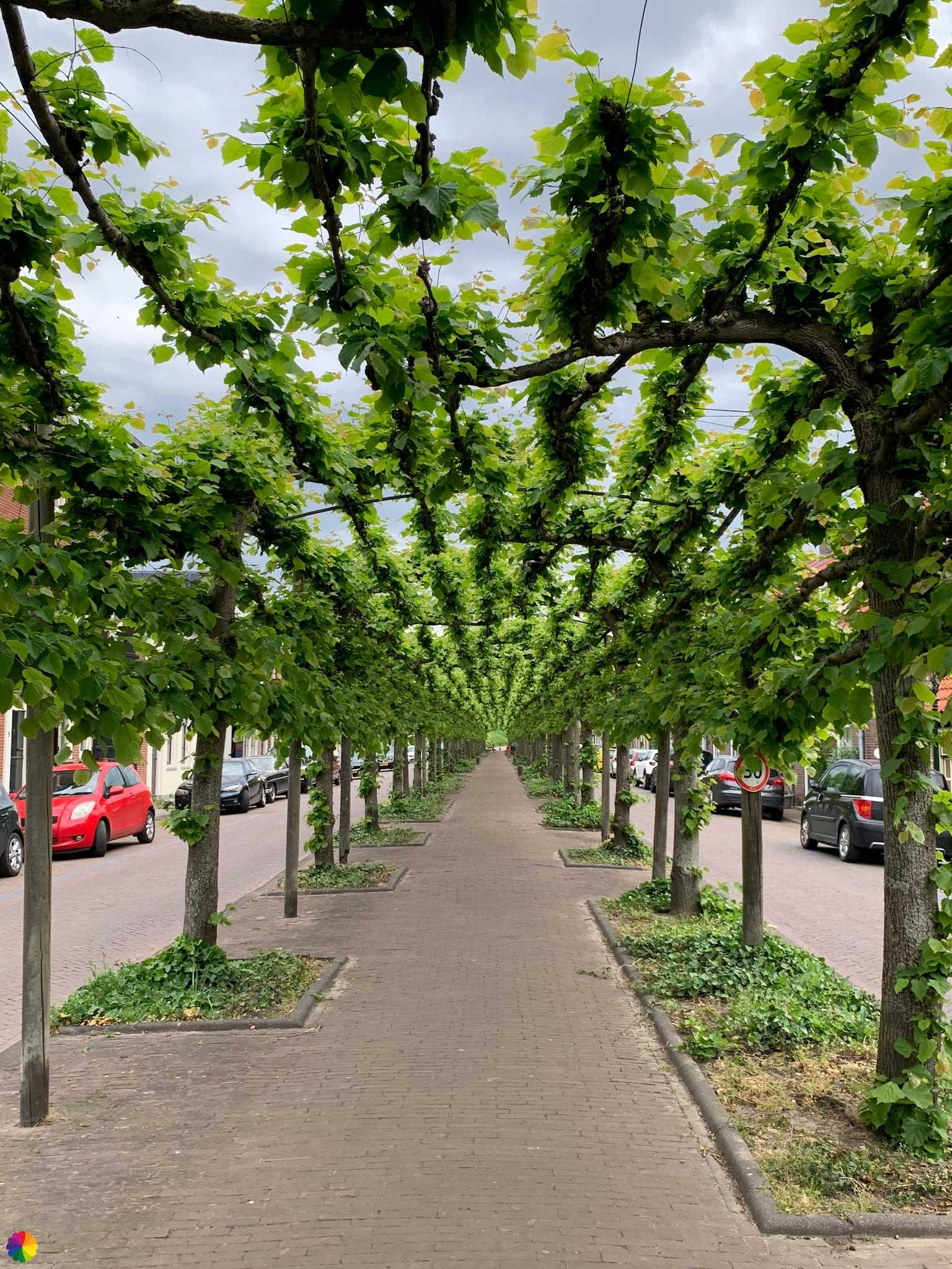
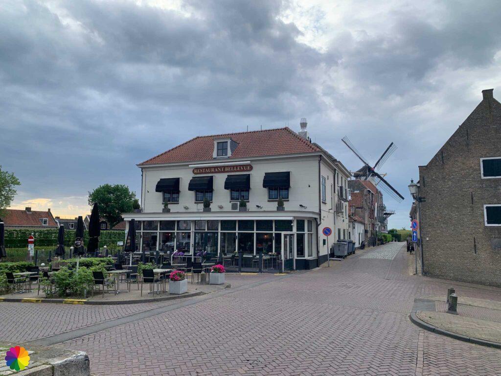
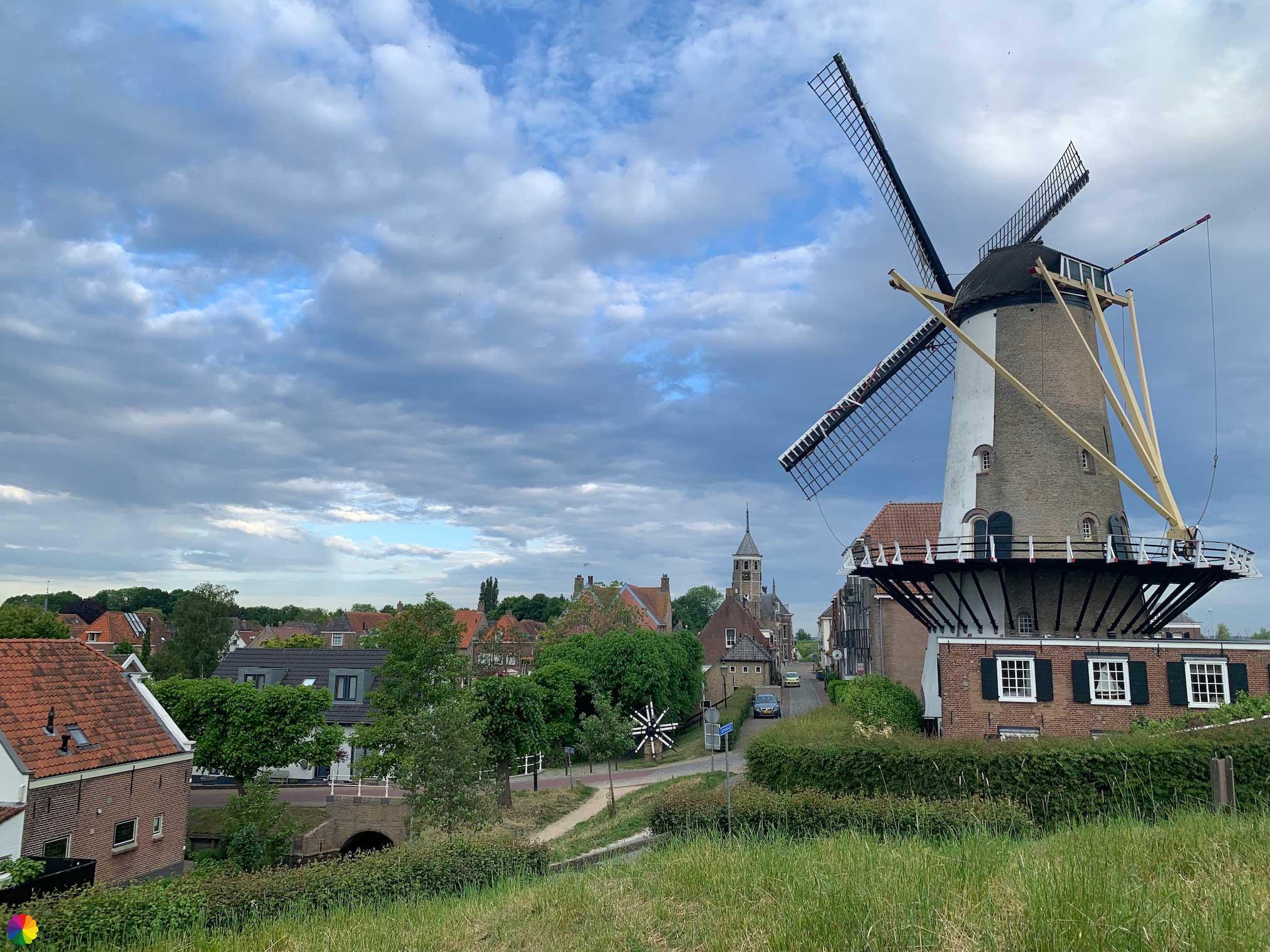
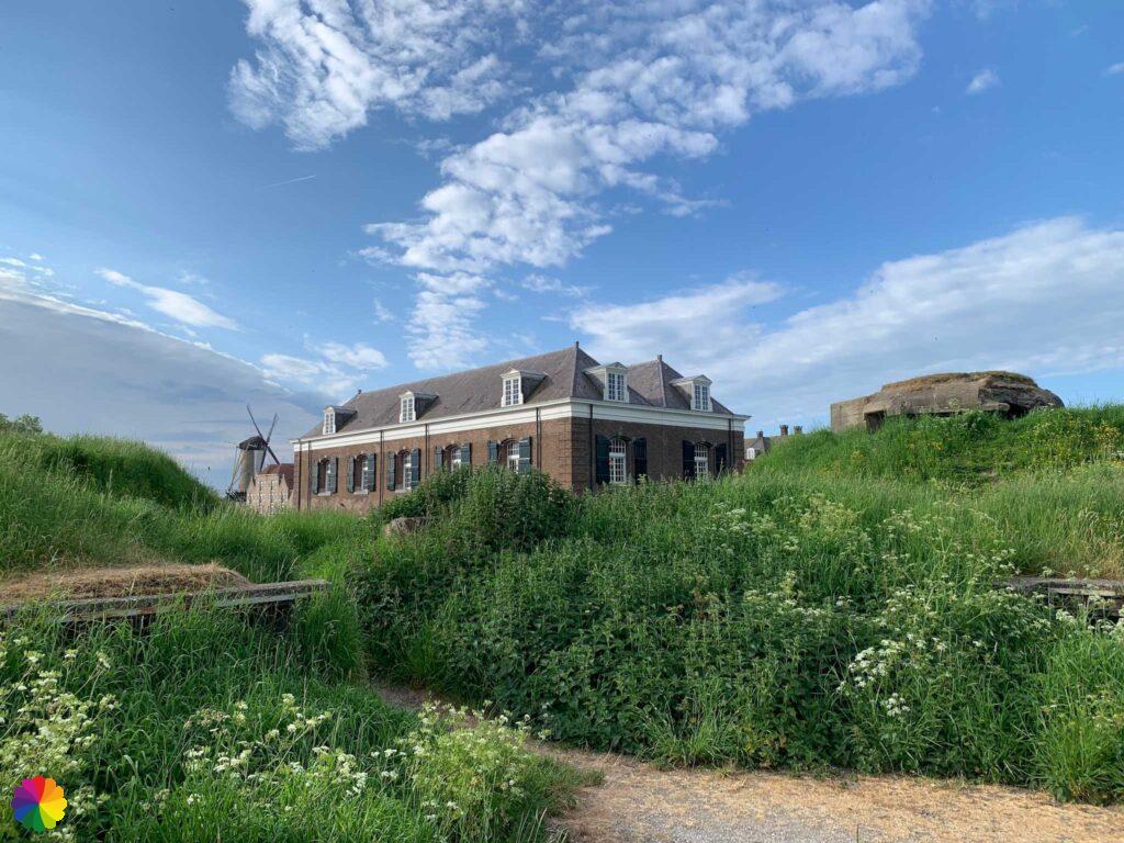
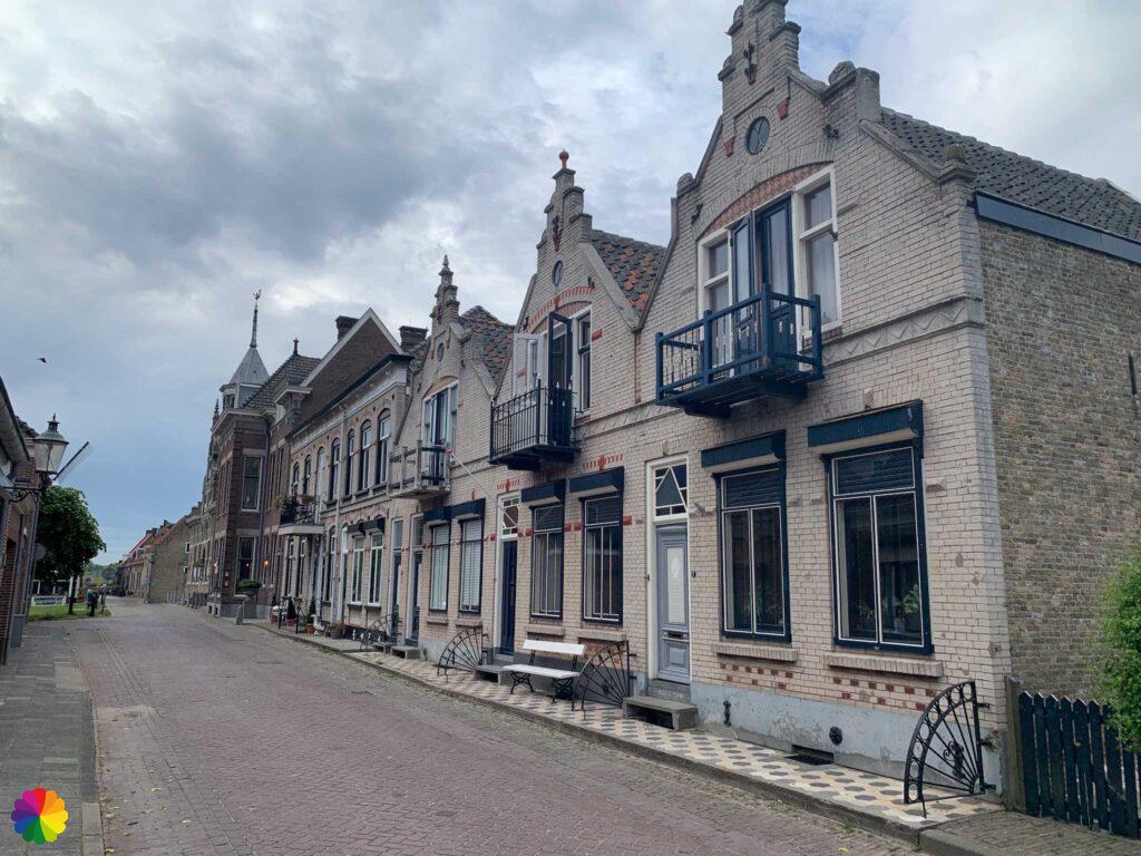
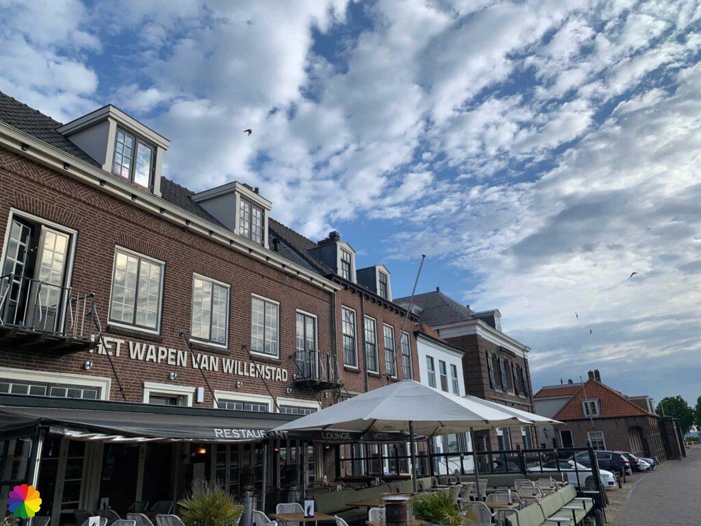
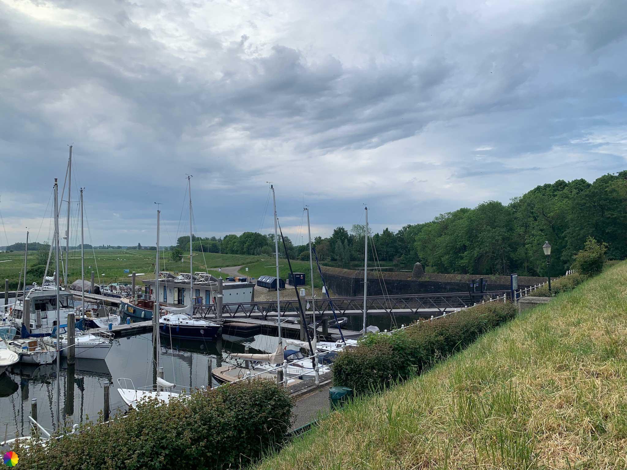
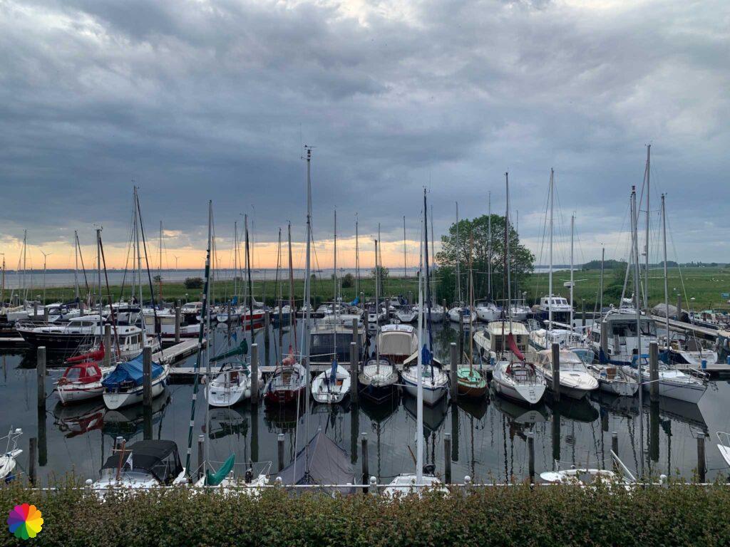
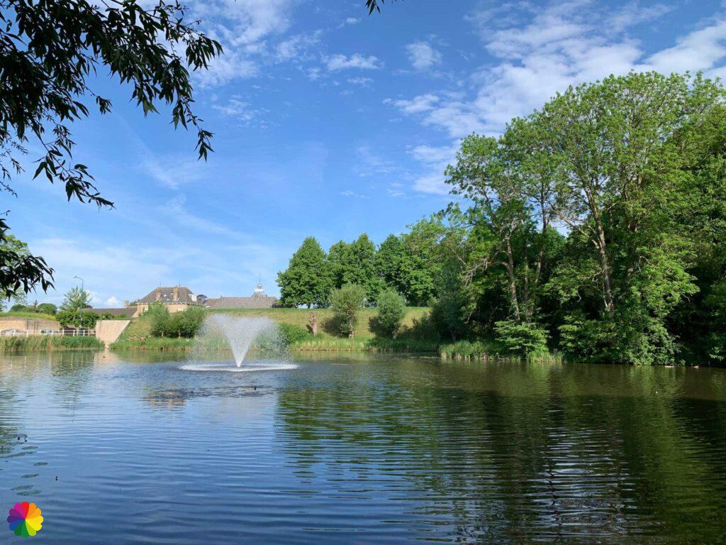
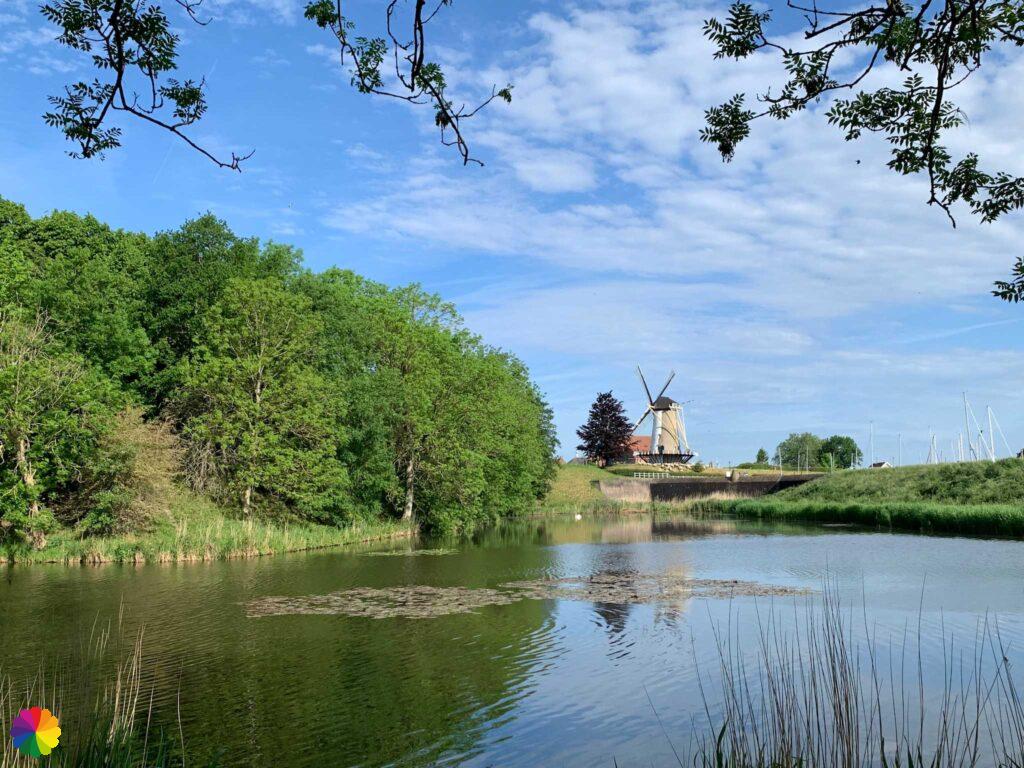
Through a street with pergolas, I walk to the Gemeentehaven (harbour) and the Old Town Hall. I walk a bit along the harbour and then towards the d’Orange mill.
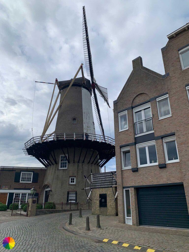
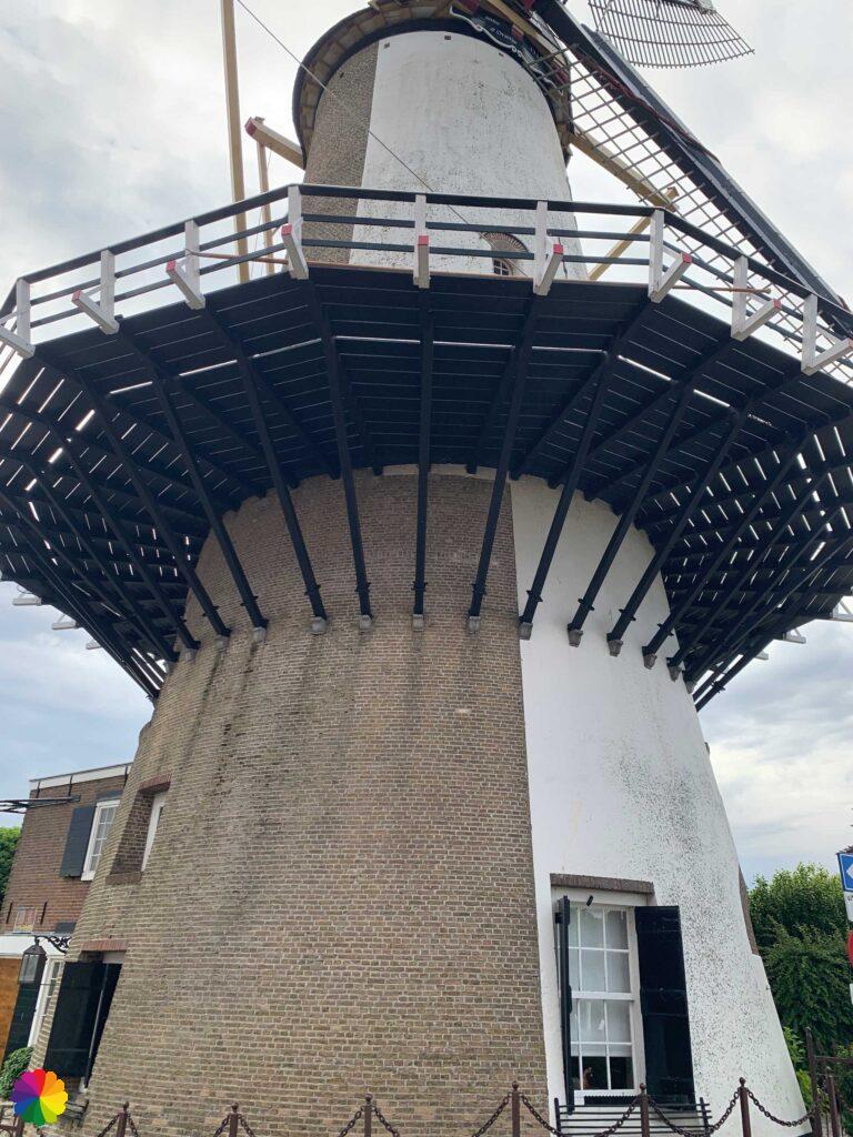
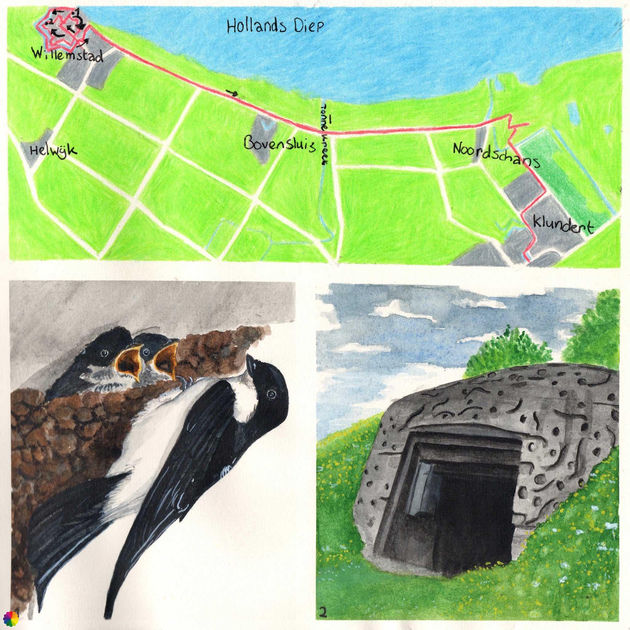
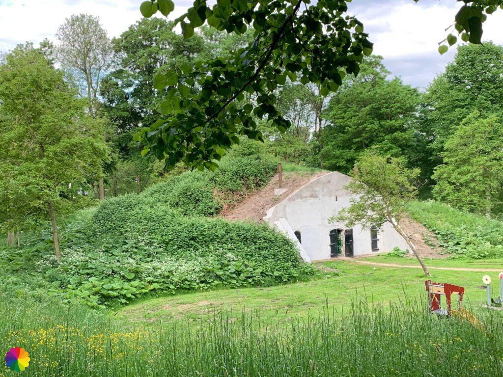
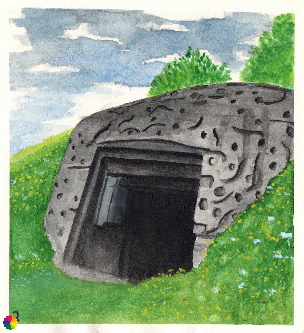
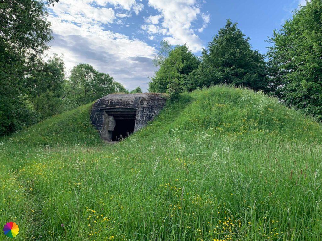
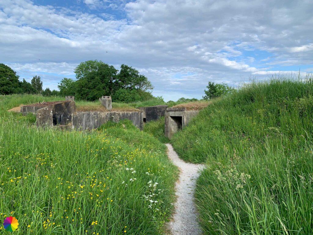
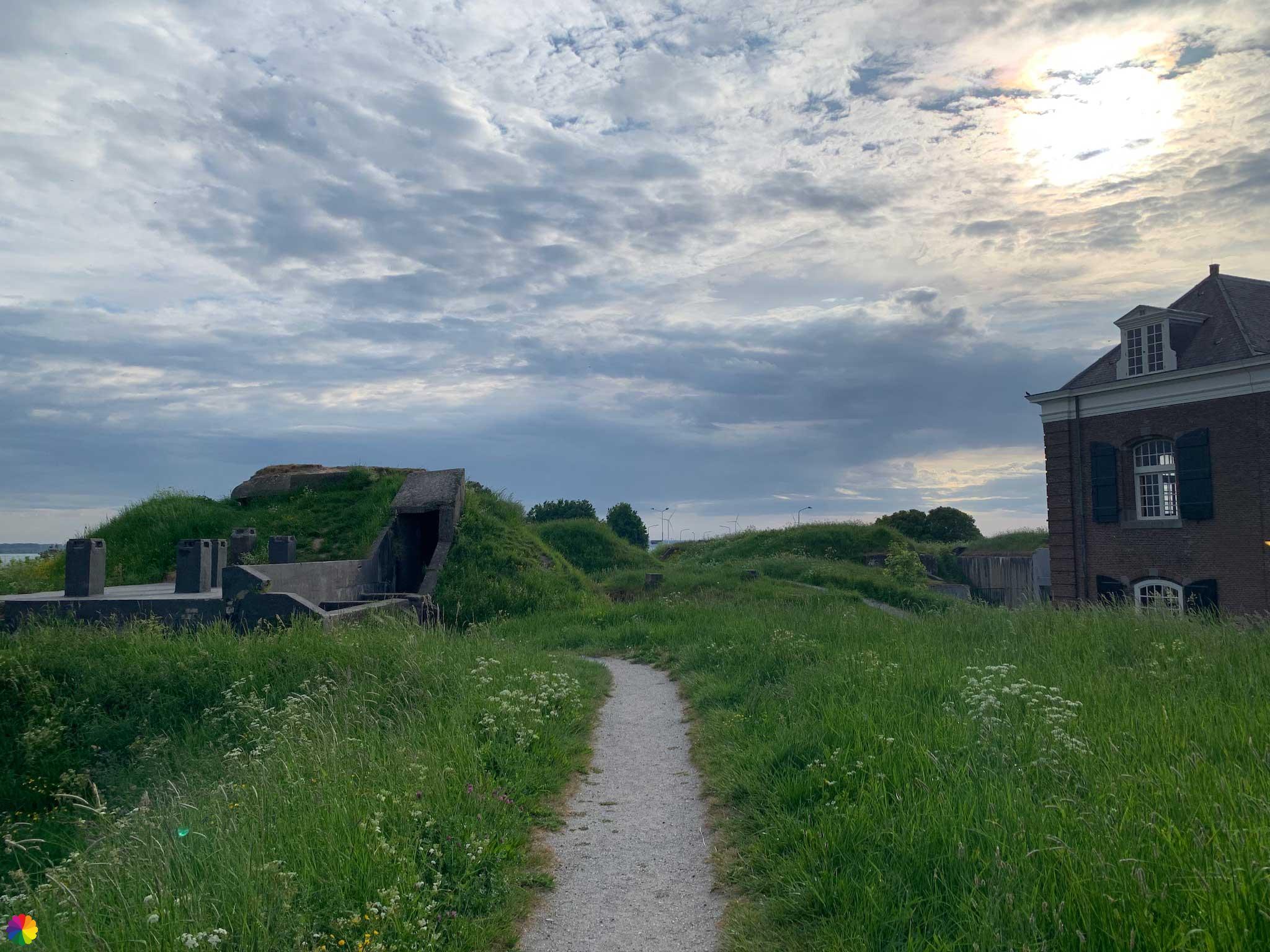
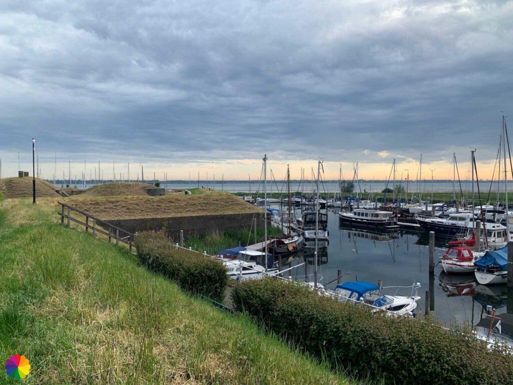
At the mill, I go up the inner city wall. I walk this wall almost all the way around. Along the way, I encounter many fortifications and bunkers. Last time, I walked in the opposite direction on the paved path. Now I take the unpaved path at the top of the rampart. I have a nice view over the city on the inside and the canal on the outside. The path becomes a bit more difficult to walk through the tall grass. I pass behind several bunkers.


360 degree movie of Willemstad
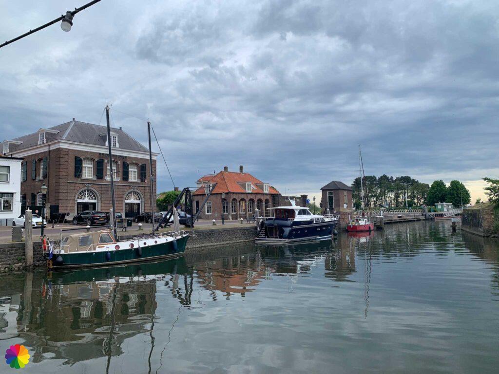
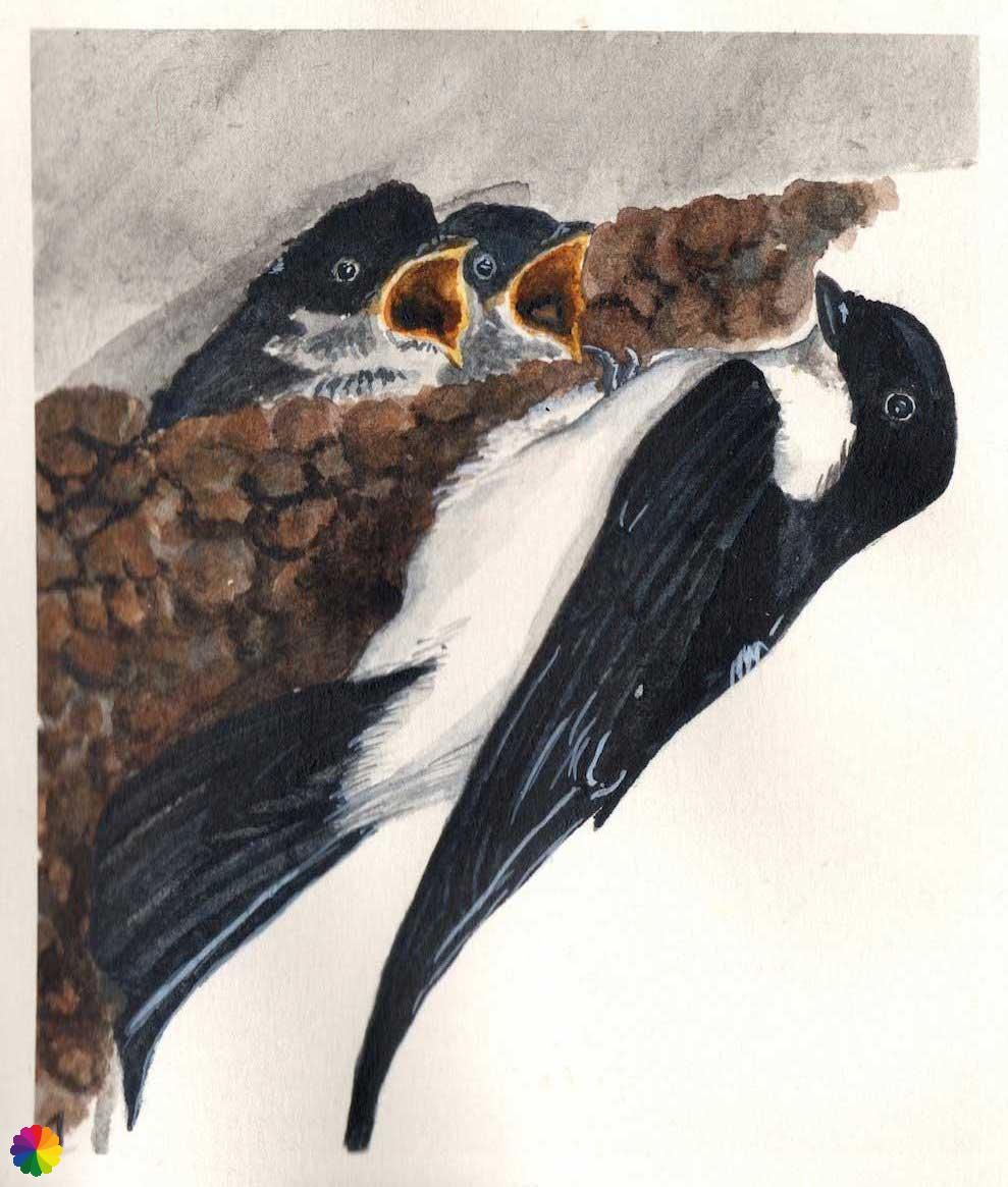
I am almost all the way around and go off the rampart at the Arsenal. I walk again towards the Gemeentehaven. House martins are busy flying back and forth. Their nests hang from the facades of the beautiful buildings in the harbour.
The house martin has a black top and a white underside and rump. House martins build their nests in a bowl shape of clay and sand against rock walls, but they are also common in urban areas and build their nests under roof ledges. Hence the name house martin.
The bird nests from mid-May to early August and has 1 to 2 clutches per year with 2 to 6 white eggs at a time.
Source (in Dutch): Vogelbescherming
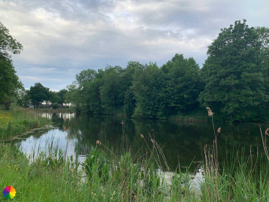
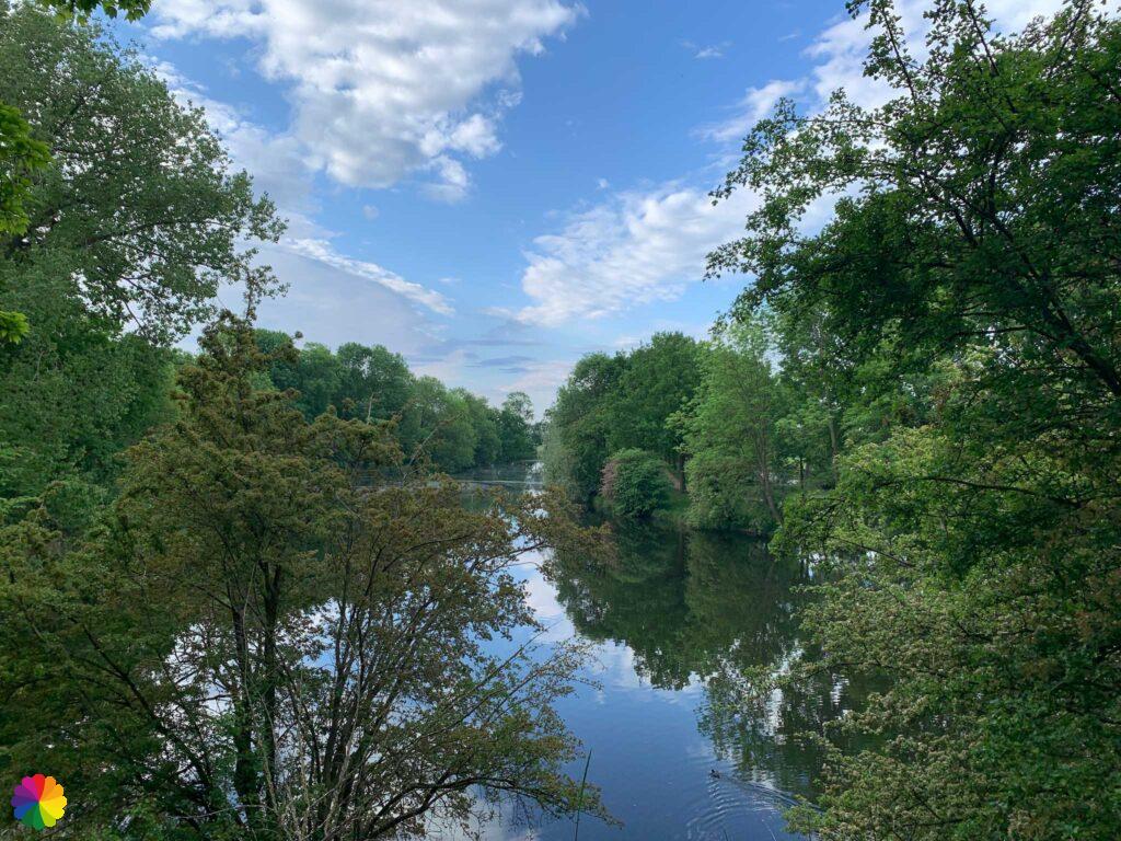
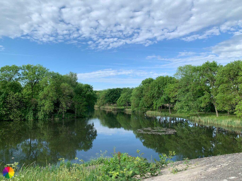
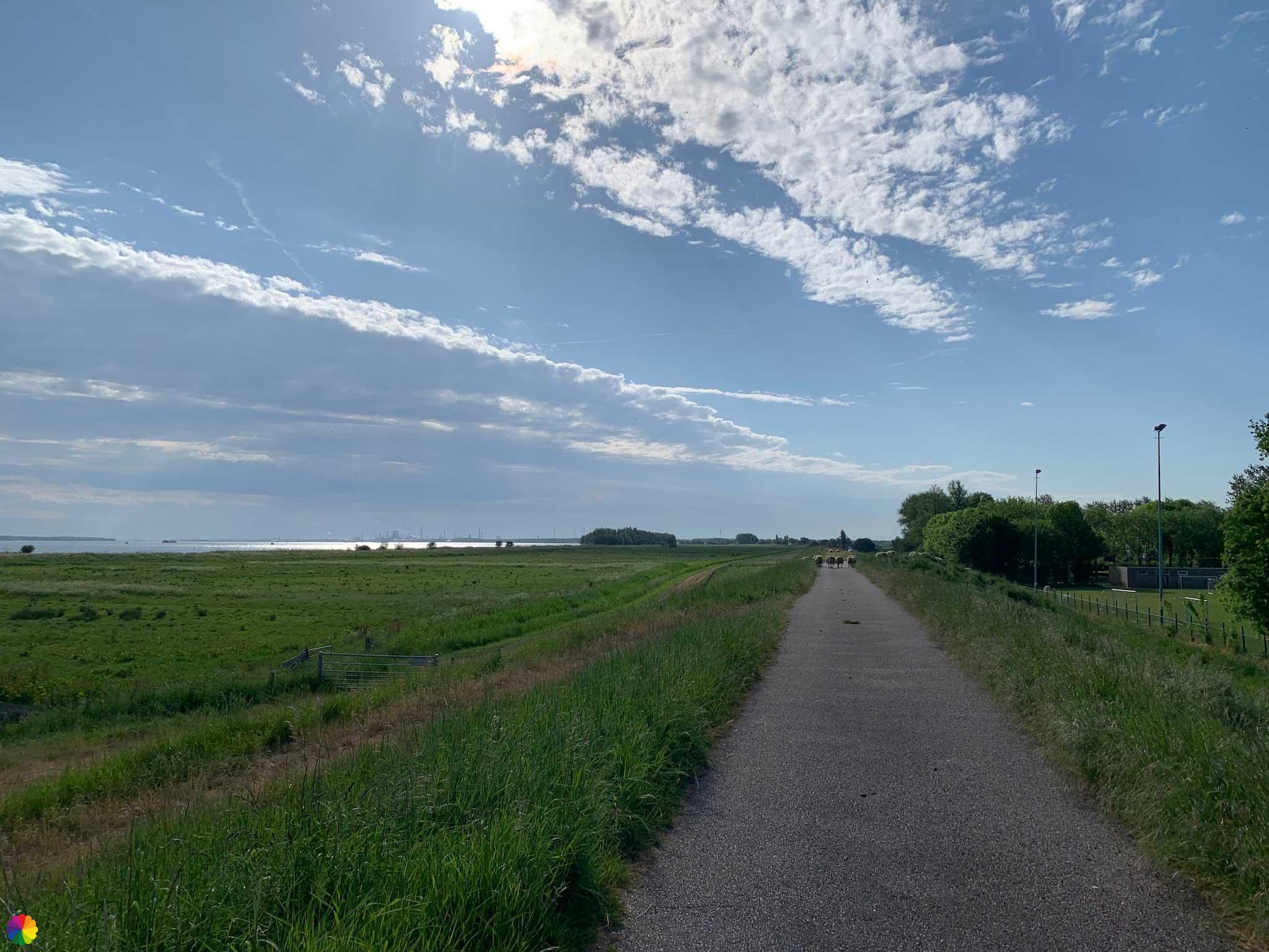
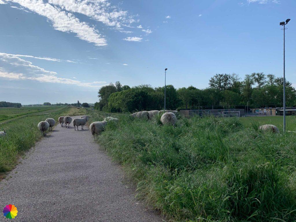
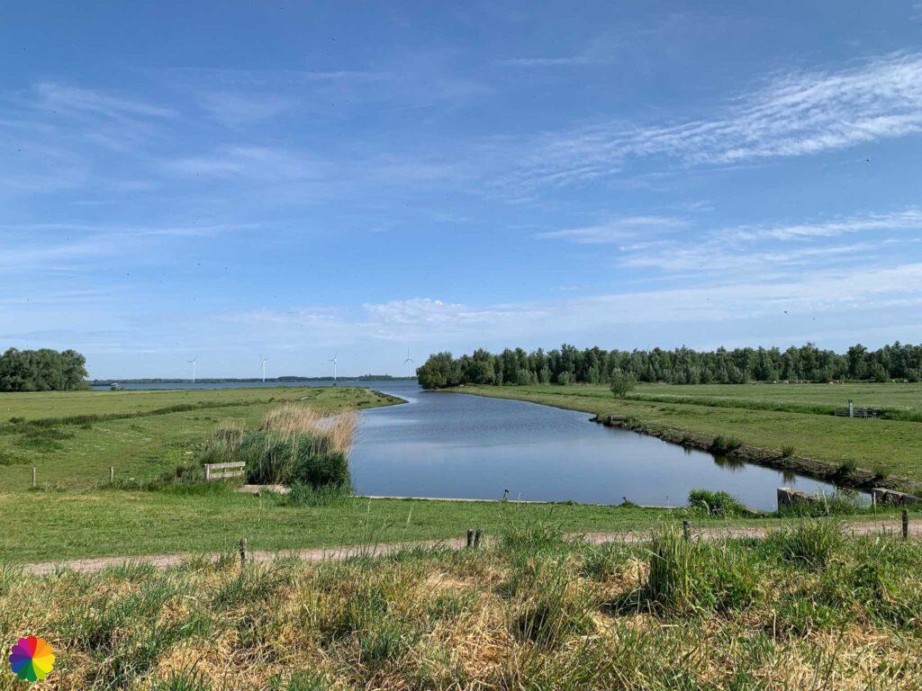
I walk past the boats in the Gemeentehaven and see sheep grazing on the embankment across the water. I then walk on towards the Hollands Diep canal. With a beautiful view over the water, I take a break.

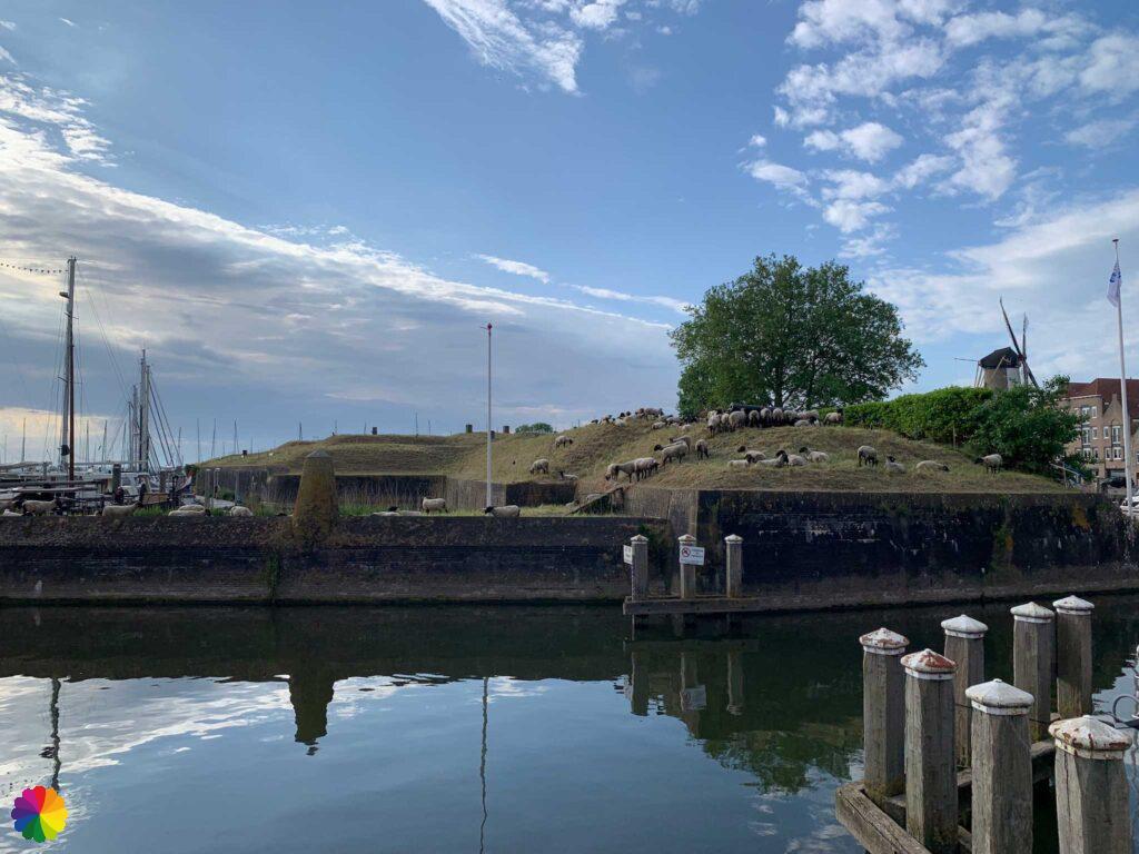
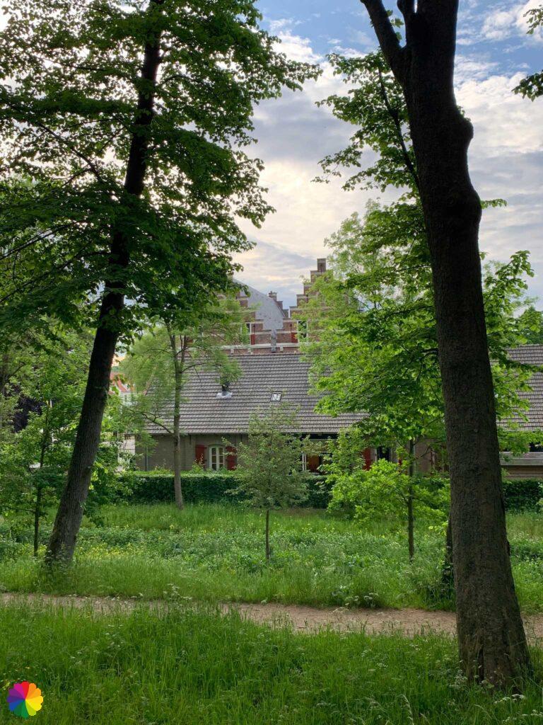
Via a park I walk to the Singel, which goes around the fortifications. I go all the way around again and back at the d’Orange mill I leave Willemstad behind me.


Other trail guide about defence lines
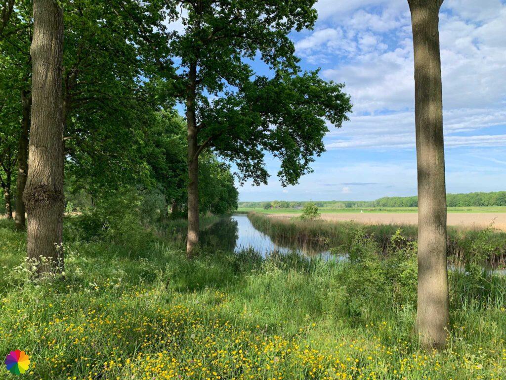
Over the Oostdijk to Klundert
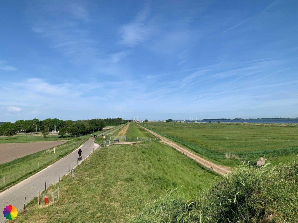
I’ve spent about two hours in Willemstad, it’s time to move on. I go up the Oostdijk and take one more look at Willemstad. Now on to Klundert.

Just after Willemstad on the dike is a pyramid-shaped nature artwork called De Wachter (the Guard). You can climb the pyramid and so I do. I do have to chase some sheep away. The sheep like the grass growing on the pyramid best.
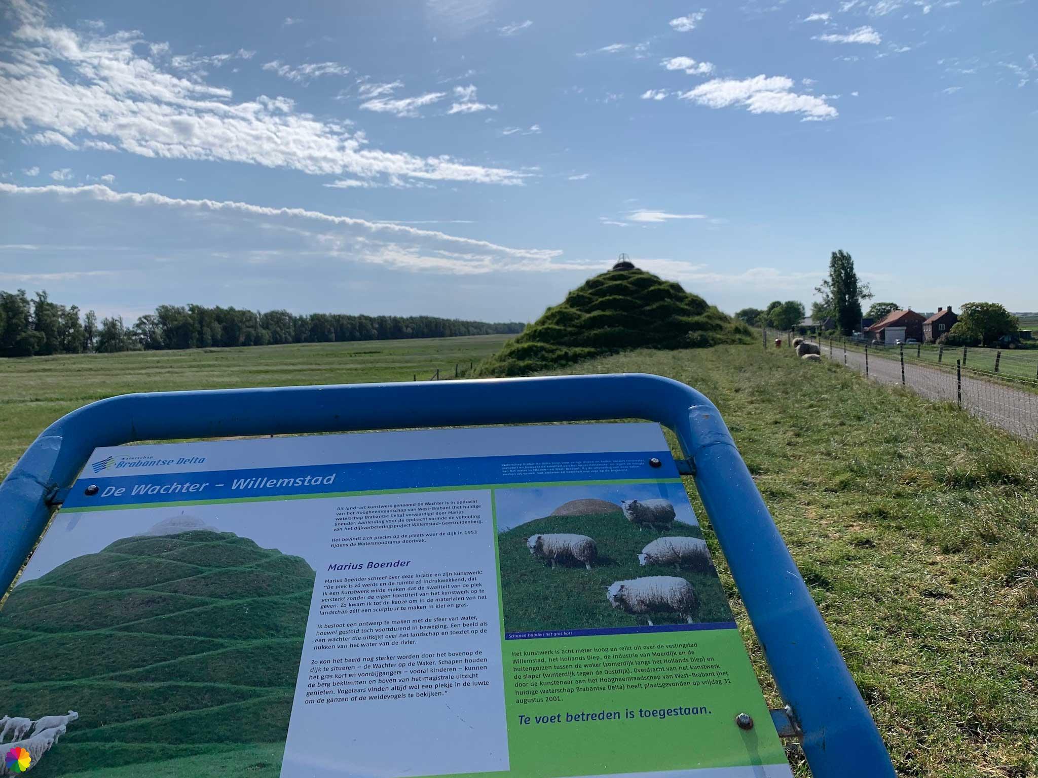
The Guardian is an artwork created by Marius Boender to remember a dike breach at the same spot during the 1953 flood disaster in the Netherlands. Next to the province of Zeeland parts of West Brabant were also flooded, including Willemstad. The artwork was placed after the completion of the dike reinforcement in 2001.
Source (in Dutch): Visit Moerdijk
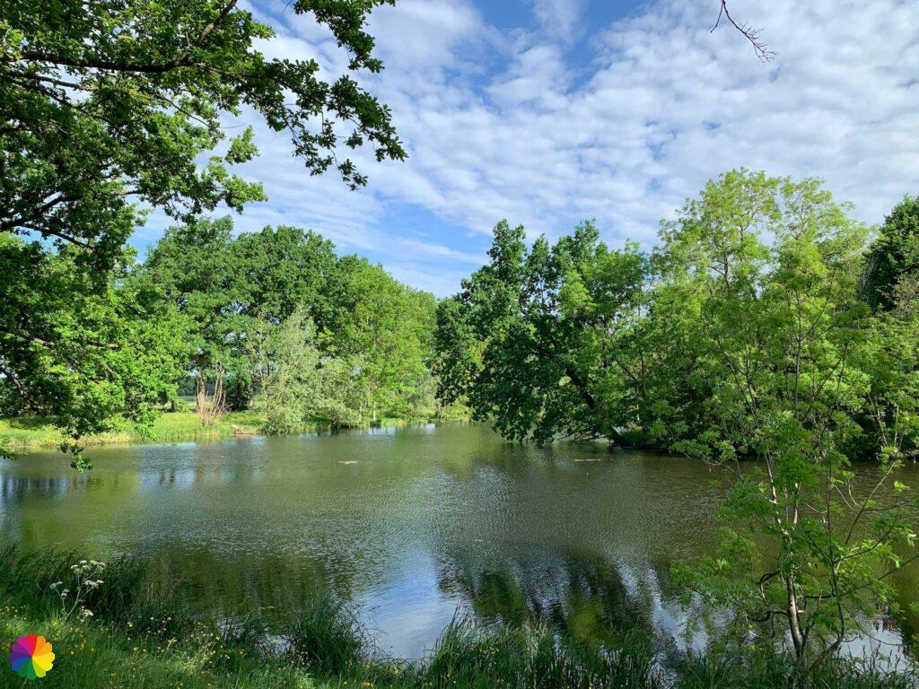
It has become very warm by now. In the distance, I see a nature reserve near the Hollands Diep. I wonder if there is a footpath there too. I went back on the bike later, but still couldn’t find out if you are allowed to go there. In the distance, I do see orange Staatsbosbeheer signs, but it could also be a no-entry sign.
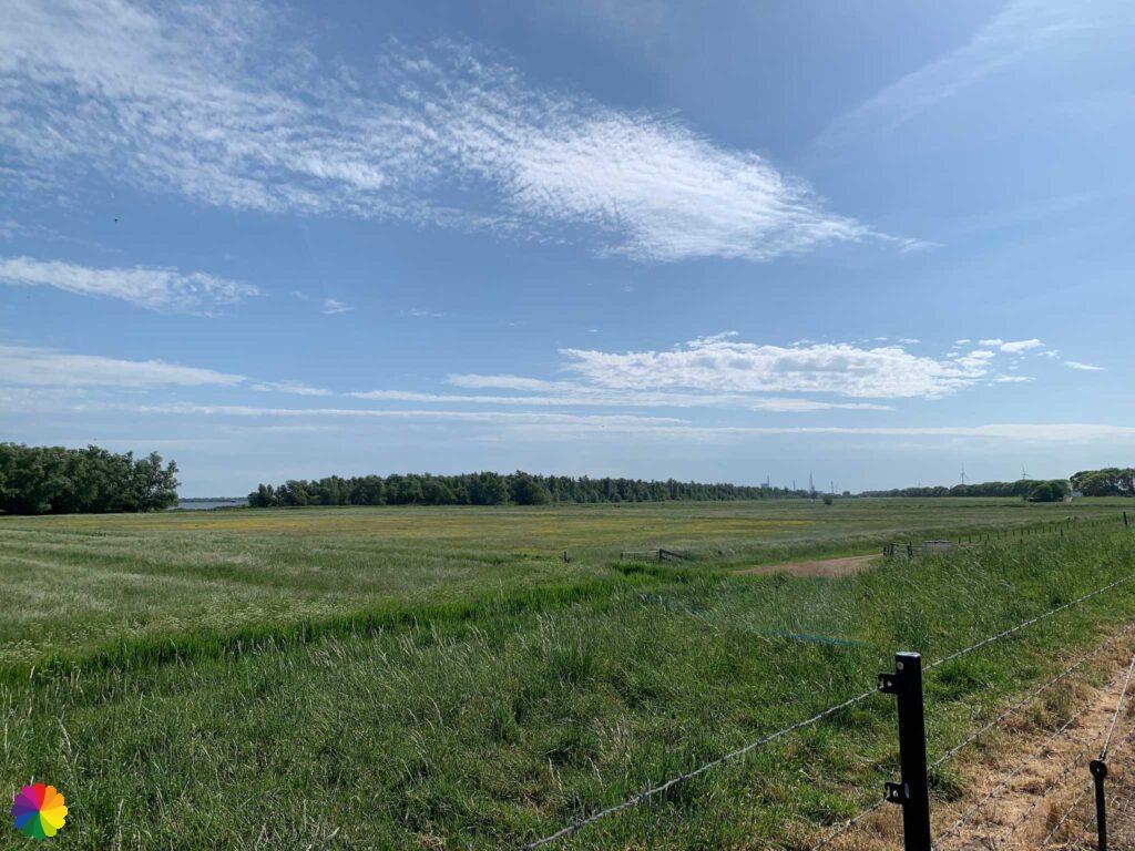
I continue along the dike. It is getting warmer and warmer and I wish for a cloud or even a little rain. To the right of the dike, there must also be Fort Bovensluis somewhere. I have not been able to find it. Perhaps the view is obstructed by bushes and trees.
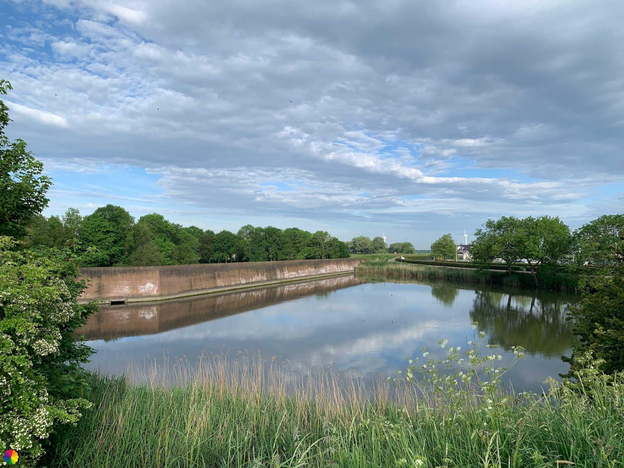
The Defence Line of Willemstad, also called the Defence Line of Hollands Diep and Volkerak, is located in a strategic spot: at the junction of Hollands Diep, Volkerak and Haringvliet canals. The Defence Line consists of two fortified towns, Willemstad and Klundert, and five forts: Fort De Hel, Fort Sabina, Fort Prins Frederik (across the Volkerak canal), Fort Buitensluis (across the Hollands Diep canal) and Fort Bovensluis. The first four forts were built in the Napoleonic era and the last fort was added later.
The intervening, low-lying polders formed a nice inundation area. It could easily be flooded to keep away the enemy.
Source (in Dutch): Zuiderwaterlinie
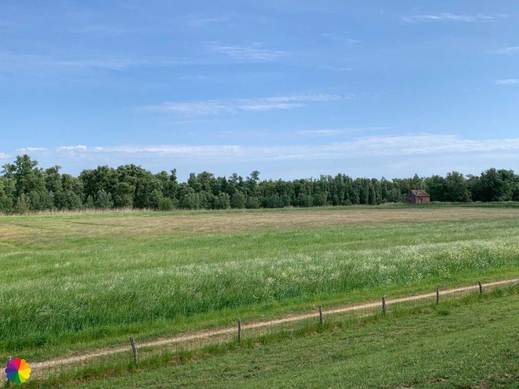
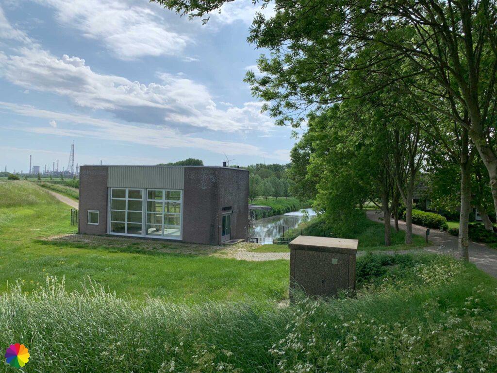
I pass by small villages along the dike: Bovensluis, Tonnekreek and finally Noordschans. At the Noordschans pumping station, I take a break in the shade.

I am now near Klundert, but once again I walk the wrong way. I go straight ahead on the dike, but the path is a dead end. When I walk back, I see that I should have walked down the dike instead.
I walk along a gravel path along a nature reserve called the Groenstrook. After the turn to the left, I actually have to cross the Groenstrook, but I go as fast as I can to the bus stop in the centre of Klundert. Dark clouds gather and after a while it starts pouring rain. My wish for rain has come true!
Completely soaked, I reach the bus stop and then the sun starts shining again. Fortunately, it’s only a 15-minute bus ride home. For next time, I have another extended tour, this time through the fortified town of Klundert.
Final thoughts
The Oostdijk between Willemstad and Klundert is very boring, but because Willemstad is such a great little town I still give this section of the Southern Waterline trail a 3 star rating.
More info:
Trail: Section 3 and Section 4 Southern Waterline trailWhere: from Willemstad to Klundert, Noord-Brabant, the Netherlands.
No. of km: +/- 16 km
Hiking date: 16 May 2022
Materials used in illustrations: Coloured pencils for the map and watercolour paints for the illustrations
Rating: ⭐⭐⭐
Pin this hike
Would you like to do this Fine hike as well? Pin this hike on Pinterest to save for later!
More hiking through fortified towns
Throughout the Netherlands, you can find fortified towns. On my hikes, I have come across several, as described in the blogs below:
ColourFlux Studio makes use of so-called affiliate links. If you buy a product through the link in an advertisement, ColourFlux Studio receives a small amount. There are no additional costs for the buyer.
Back to Blog.