In this part of the Southern Waterline trail, I first walk in Klundert towards the Groenstrook (Green Strip) to walk the bit I skipped last time. Then I go a full round through the lovely fortified town via the normal trail. After Klundert, I continue across the Moerdijk industrial area and along the Zevenbergseweg to my former hometown of Zevenbergen.
Plodding through the Green Strip
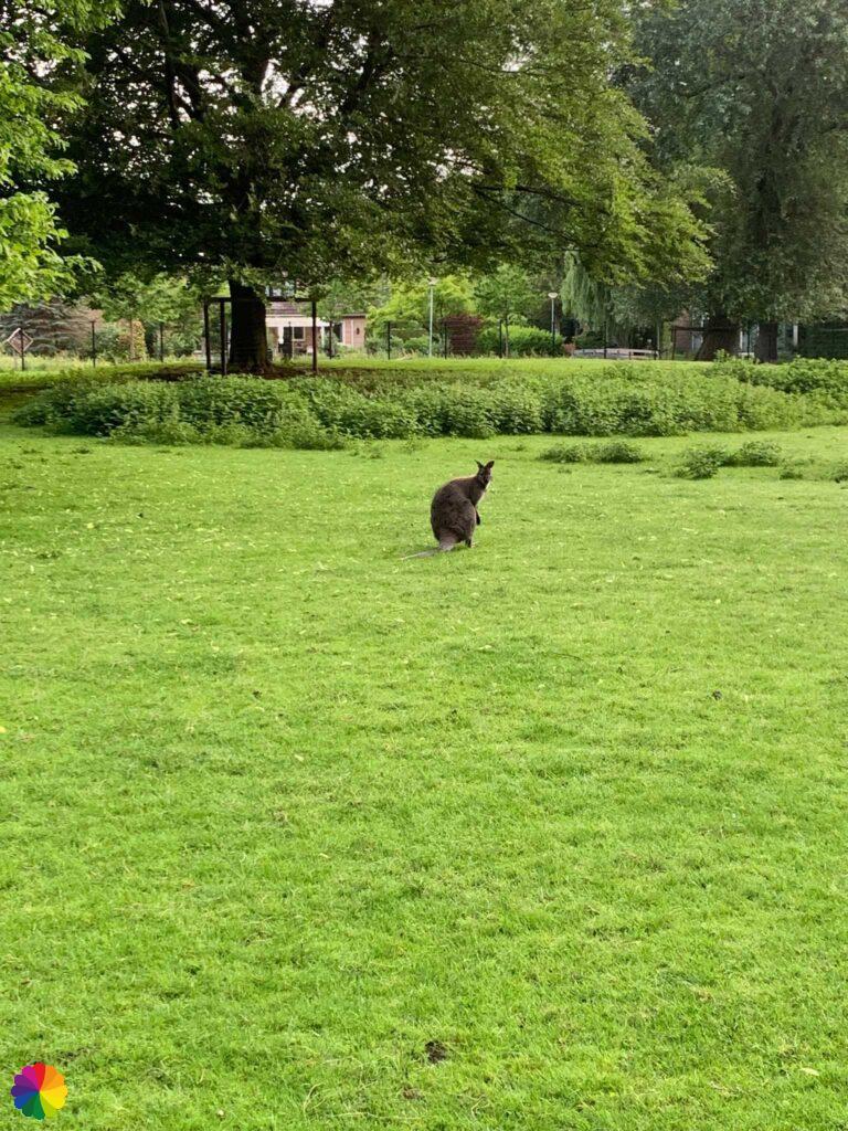
From the centre of Klundert near the Botte Kreek canal, I walk towards the Green Strip via a self-defined trail. I pass a petting zoo. All I see is a Walibi at the moment.


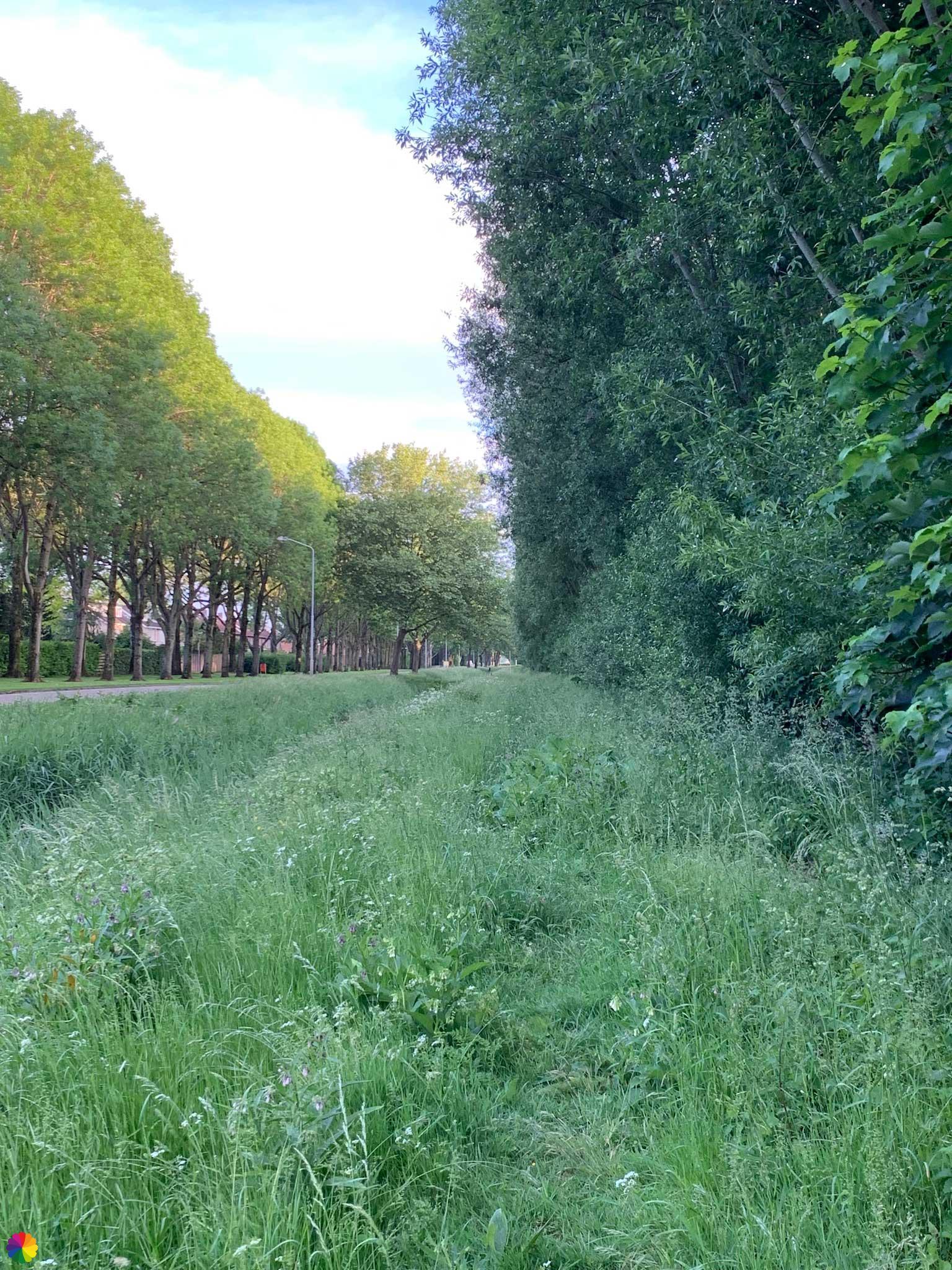
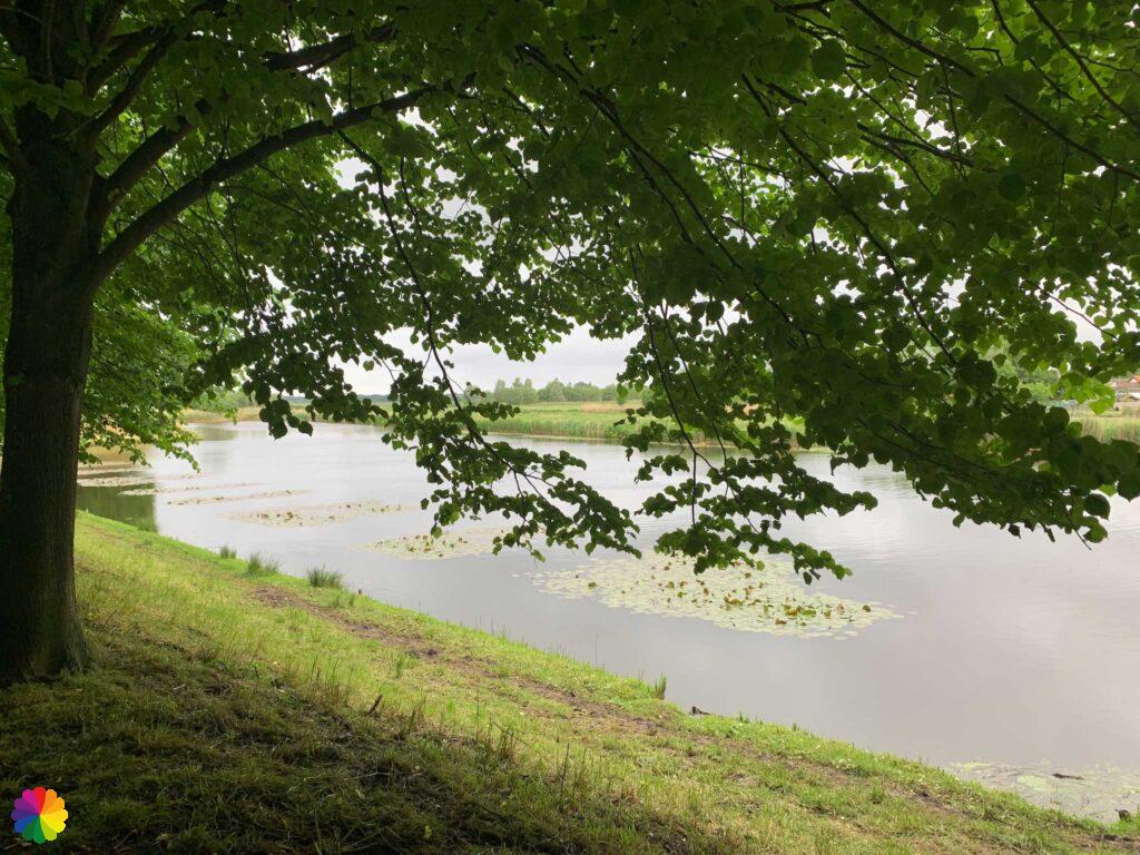
I go left around the petting zoo and then immediately to the right, because here is the Green Strip (this is a long stretched woodland area at the edge of Klundert). It starts with nice forest and grassy paths. I don’t know exactly how to walk because the Southern Waterline trail is still a bit further on. I just follow the path.
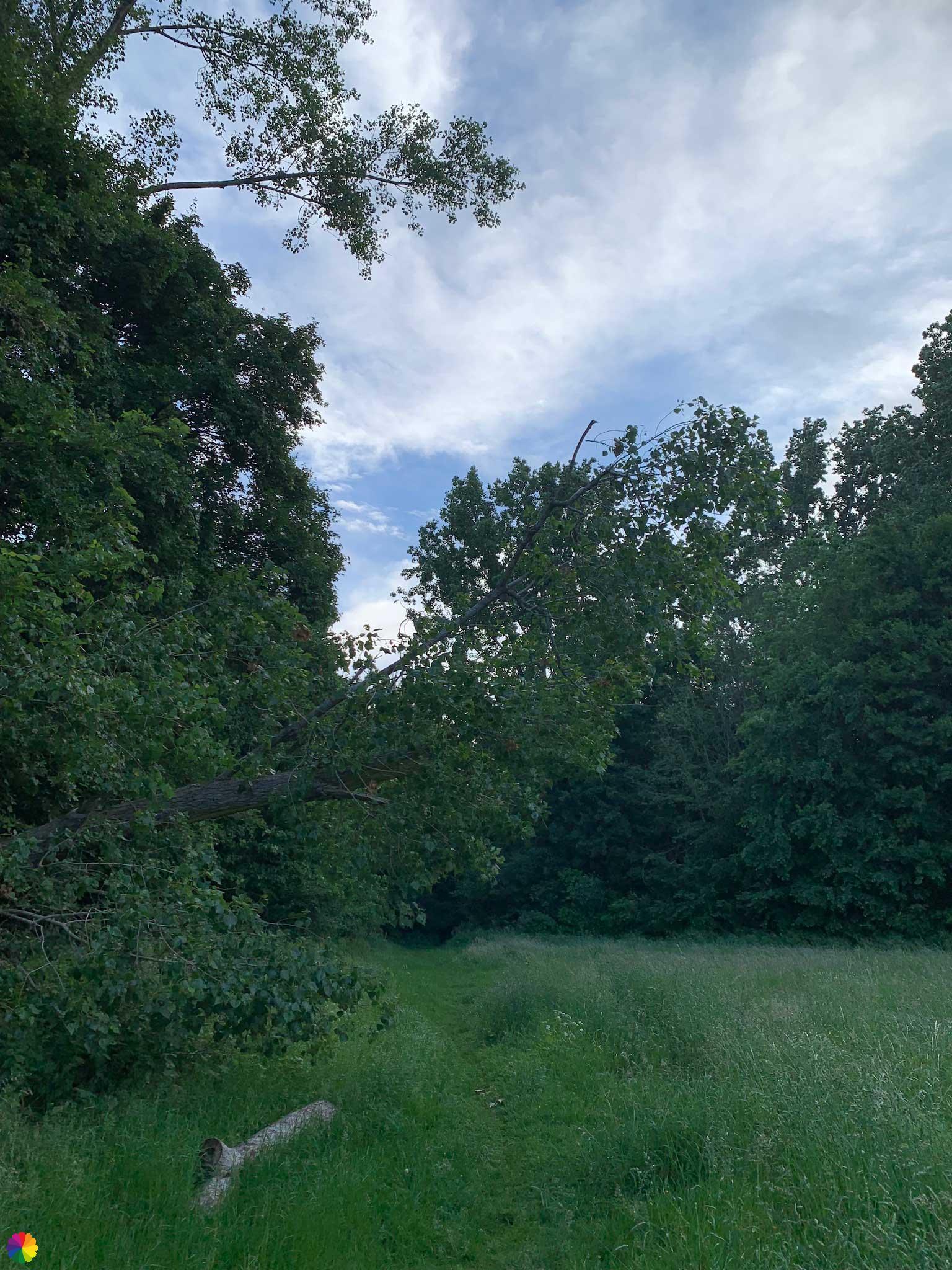


At one point, I have to cross a path with high vegetation. It’s not easy to go through, because the grass is soaking wet. At a junction, I decide to keep to the right, which I should not have done. The vegetation gets higher and denser and I doubt whether this is a path at all. But I keep going anyway. My shoes are completely soaked within five minutes. I plod through the tall grass. Along the forest edge, I suddenly see a roe deer scurry away. After another 10 minutes through the grass, I see another roe deer! He sees me, but keeps standing perfectly still. Then this path is good for something!


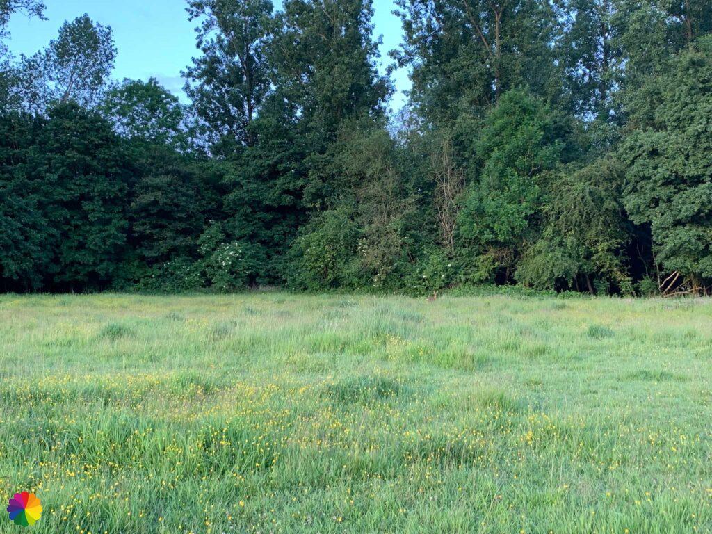
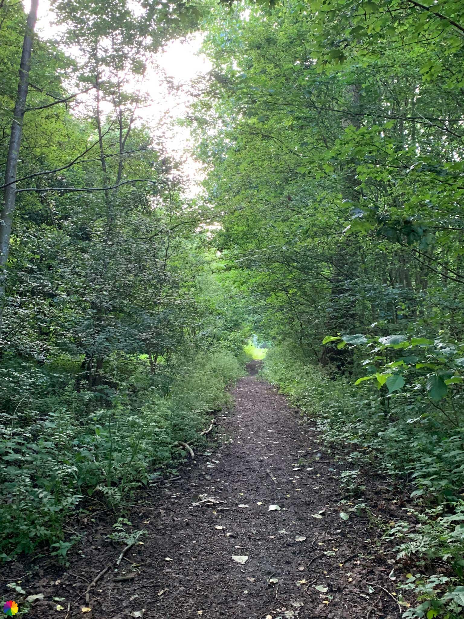
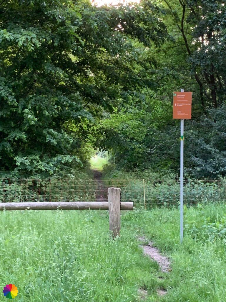
After another 10 minutes of plodding, I see an ‘entrance’ at the edge of the forest. I have finally reached a normal path. At this point, I also find the trail markings again, so I am on the right track.

Strolling through Klundert
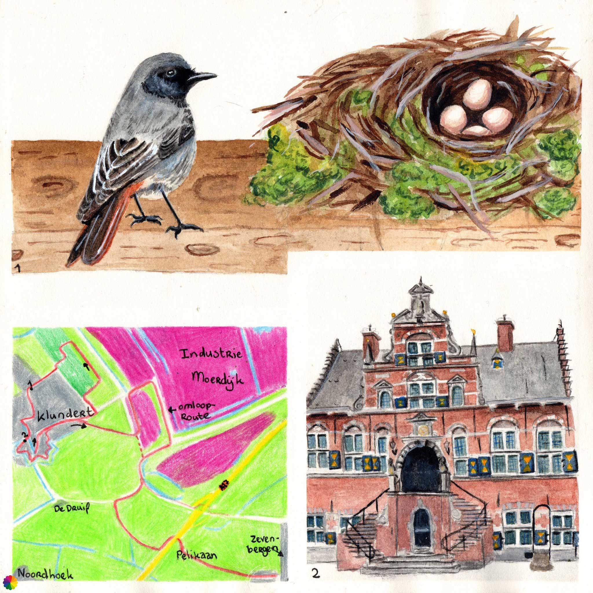
Now I walk a bit the same as in previous hike, but not in such a hurry and without pouring rain. I walk past a swimming pool and a small business park. When I reach the house on the corner, I see a little black bird with a dark red tail, it is suitably named a black redstart. I also saw this species once in my backyard. I try to take a photo of it, but it is too far away and flies further and further away.
The black redstart is black in colour with a rust-coloured tail. The male has a white wing patch and the female is slightly fainter in colour. The bird prefers urban areas and likes to nest in ventilation ducts and cavities in walls.
The bird breeds from mid-April and can have up to three clutches a year. The eggs are bright white in colour.

Source (in Dutch): Vogelbescherming
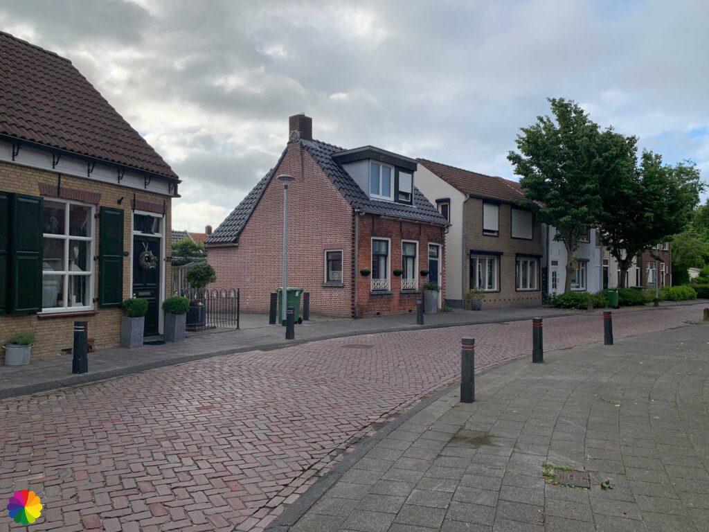
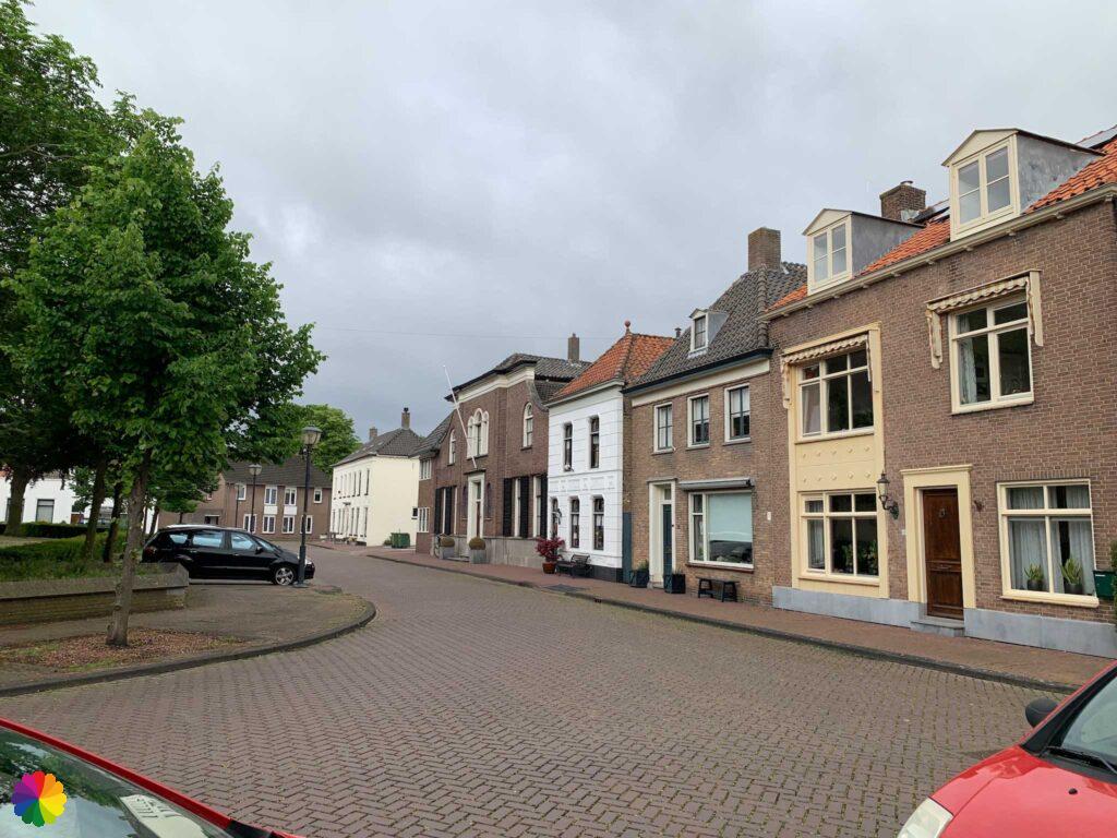
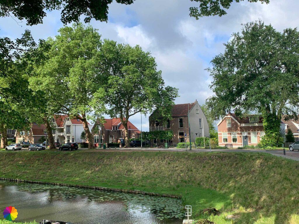
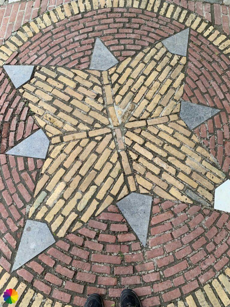
I turn left and via cobbled streets I walk into the centre of Klundert. On the way, I come across signs of another trail called Strolling through Klundert. There are information panels at all kinds of places of interest in and around the fortified town. Nice to remember the trail for later! On the Visit Moerdijk website, I read that you can also book a guided city walk and a trail booklet is available at various sales points in Klundert.
Other trail guide about Noord-Brabant West
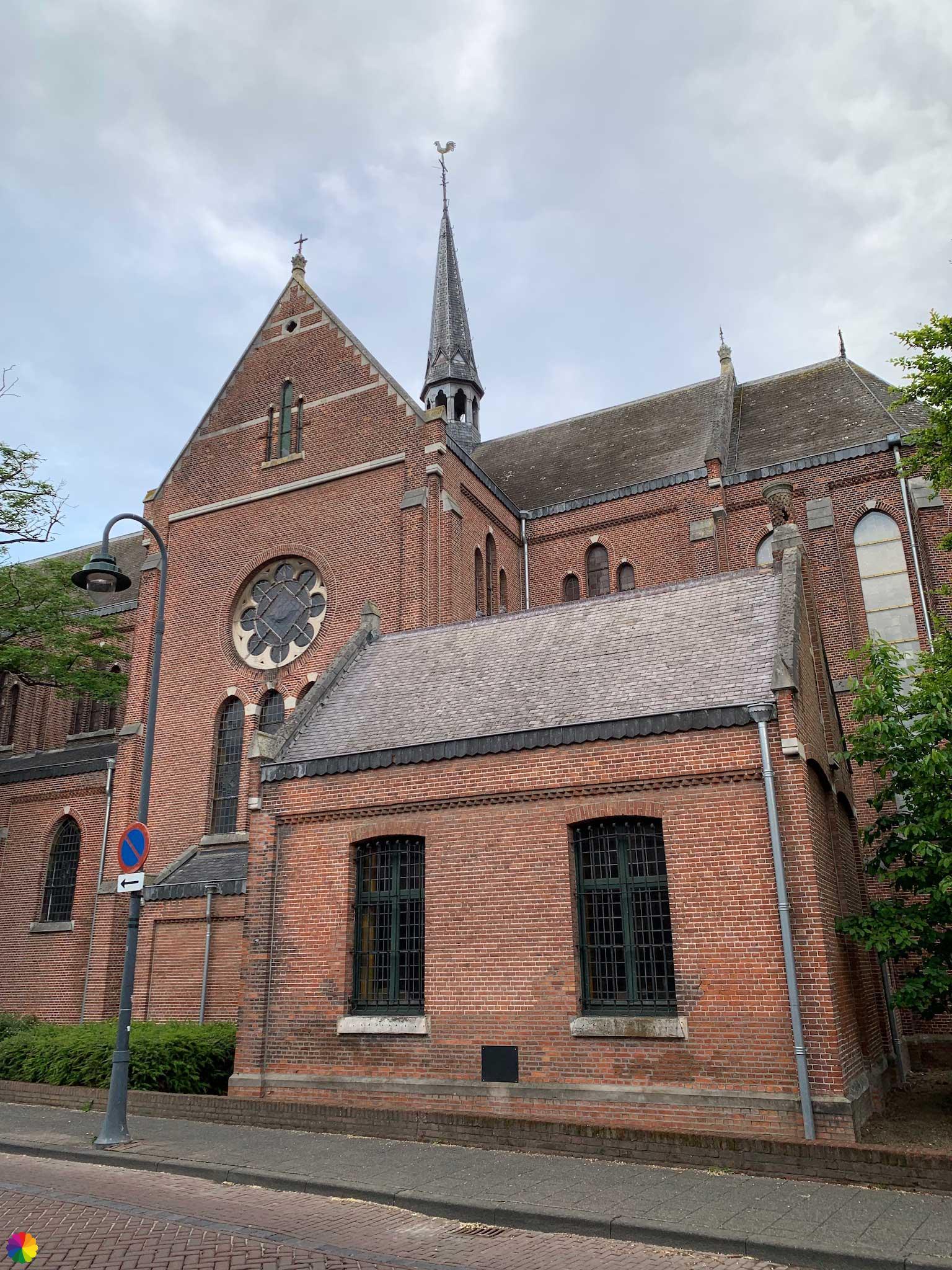
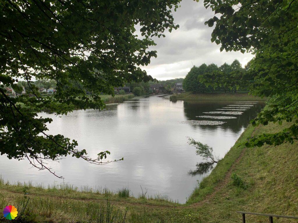
I walk towards the historic centre. In the middle of the square is the Dutch Reformed church with a cemetery next to it. I walk three-quarters around it and then head towards the city walls.

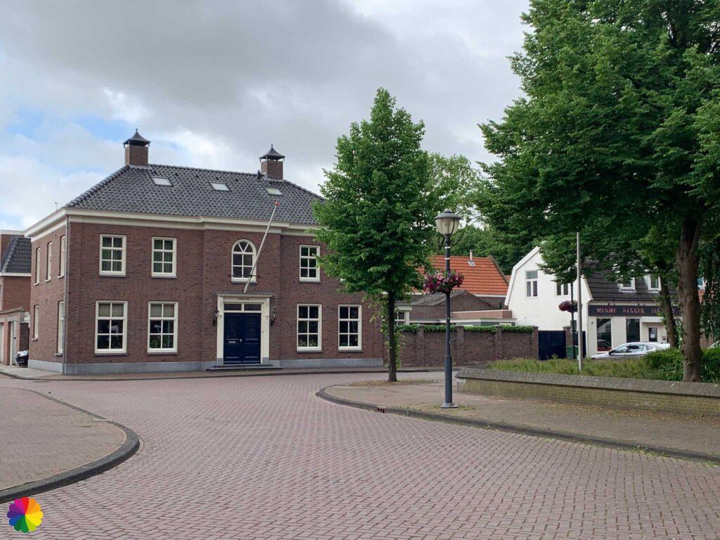

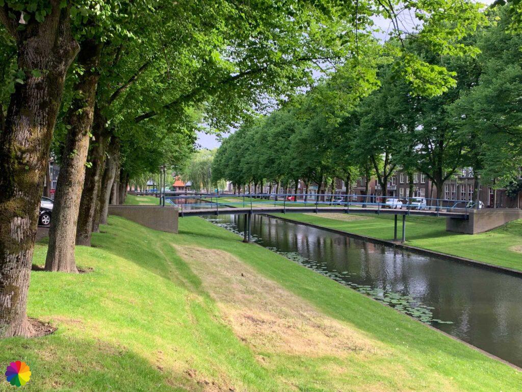
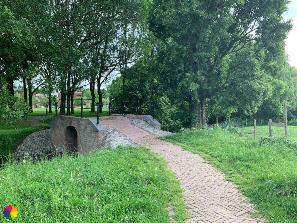
Just like Willemstad, Klundert has fortified walls. Much of the walls are still intact and these make nice footpaths.
Because Klundert was in a strategic location during the Eighty Years’ War, namely on the border of Brabant and Holland, William of Orange made it a fortified town. The town is part of the Defence Line of Hollands Diep and Volkerak. Klundert was never taken by the Spanish or the French.
Source (in Dutch): Zuiderwaterlinie
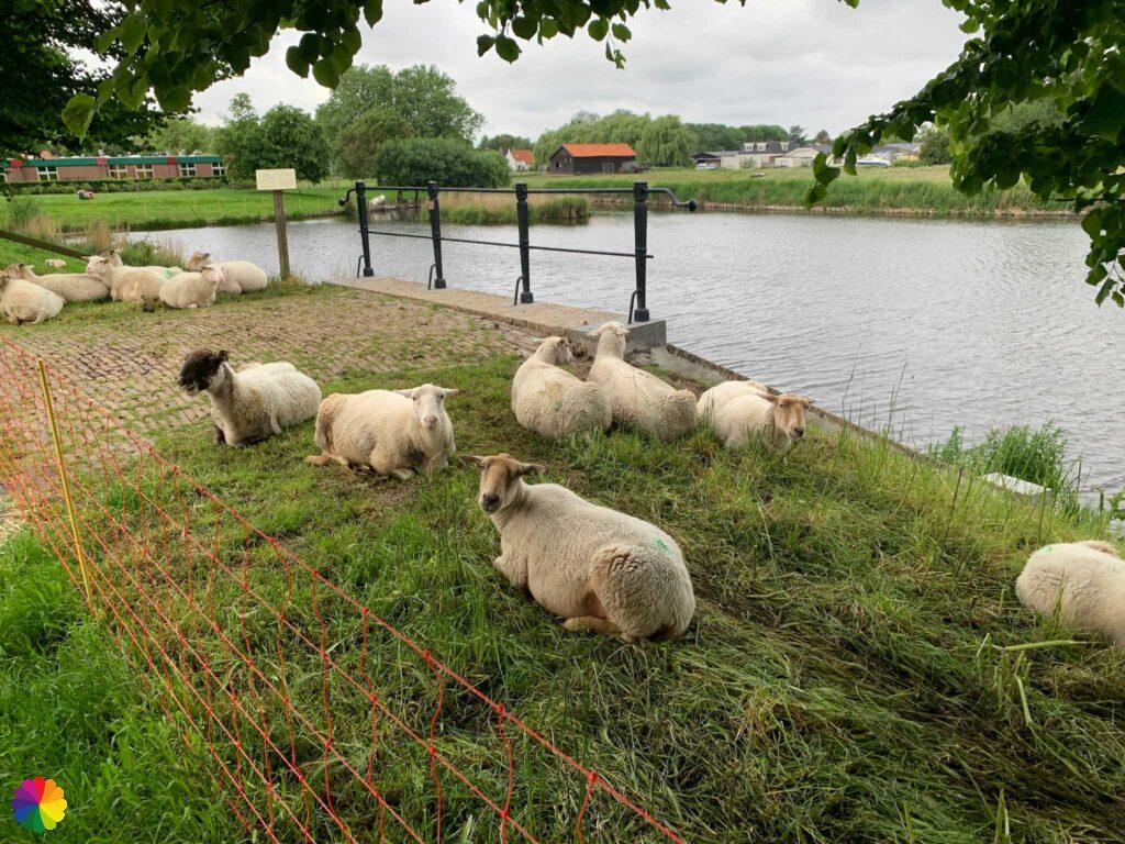
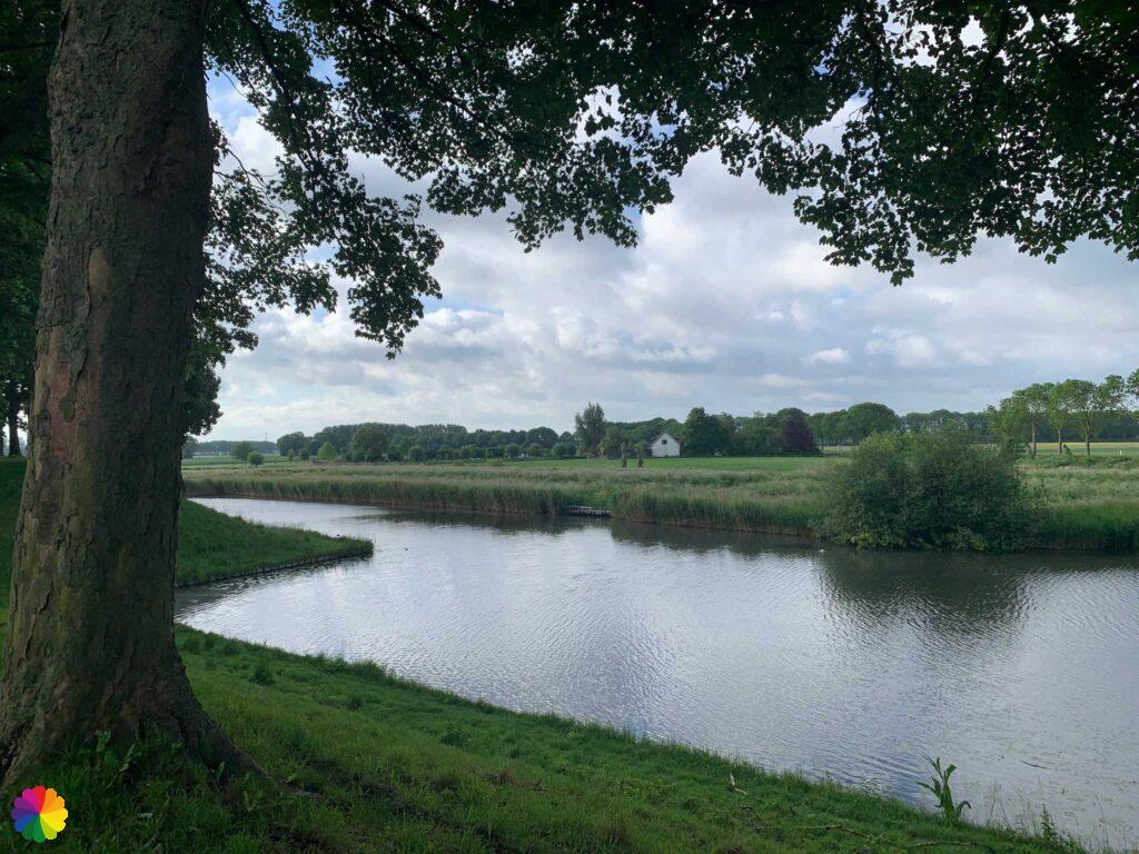
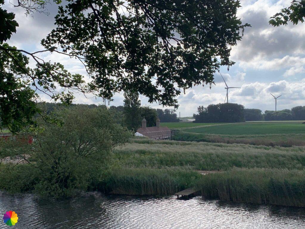
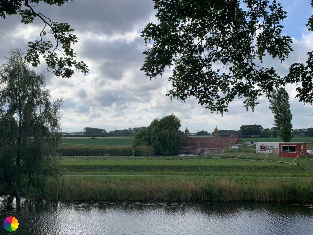
From the wall, I have a nice view of the surrounding farmlands and fields. A herd of fenced sheep keeps the grass short.

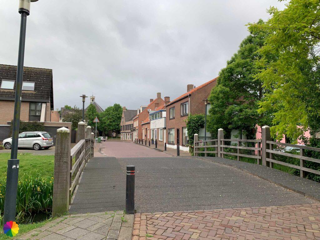
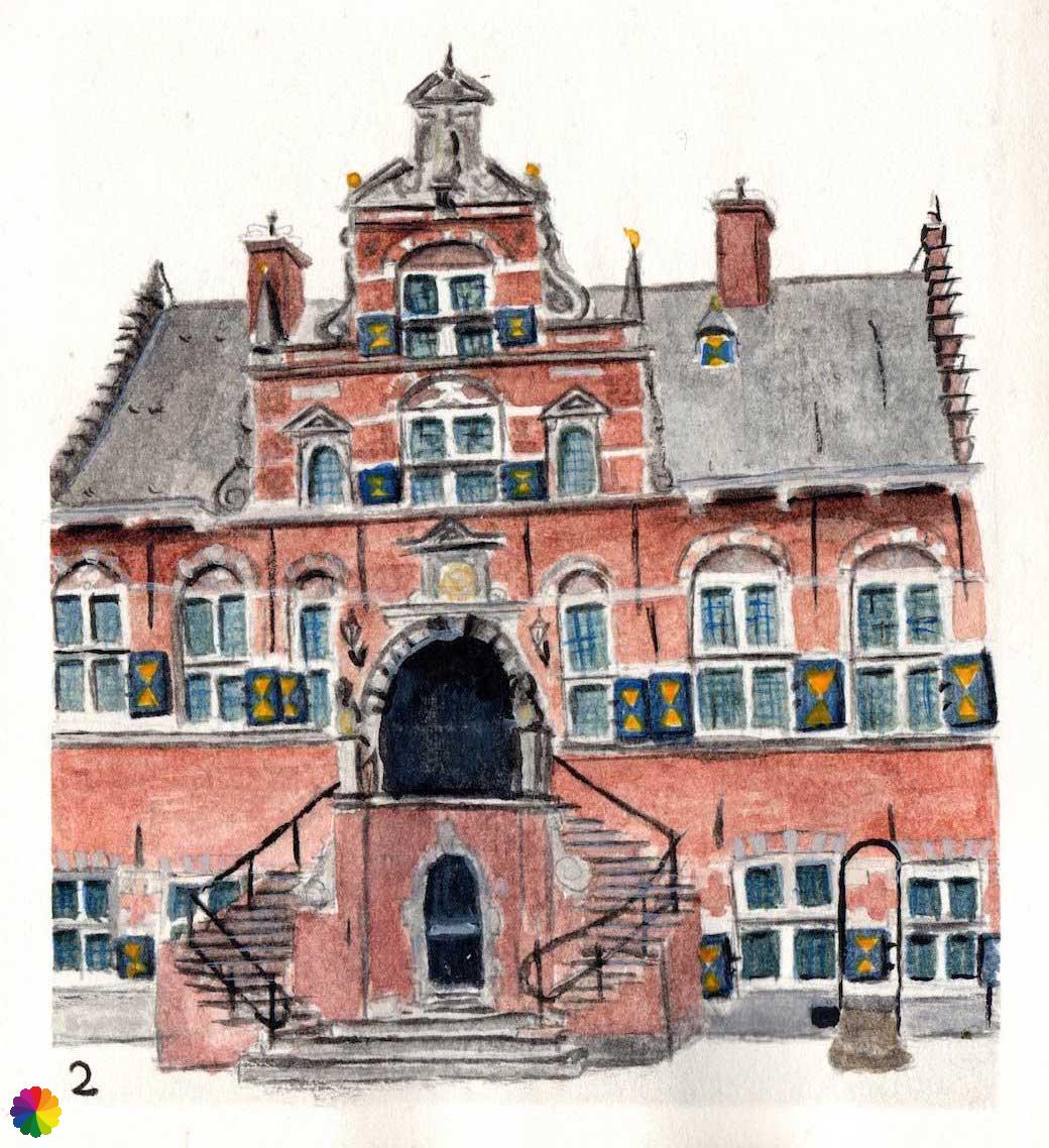
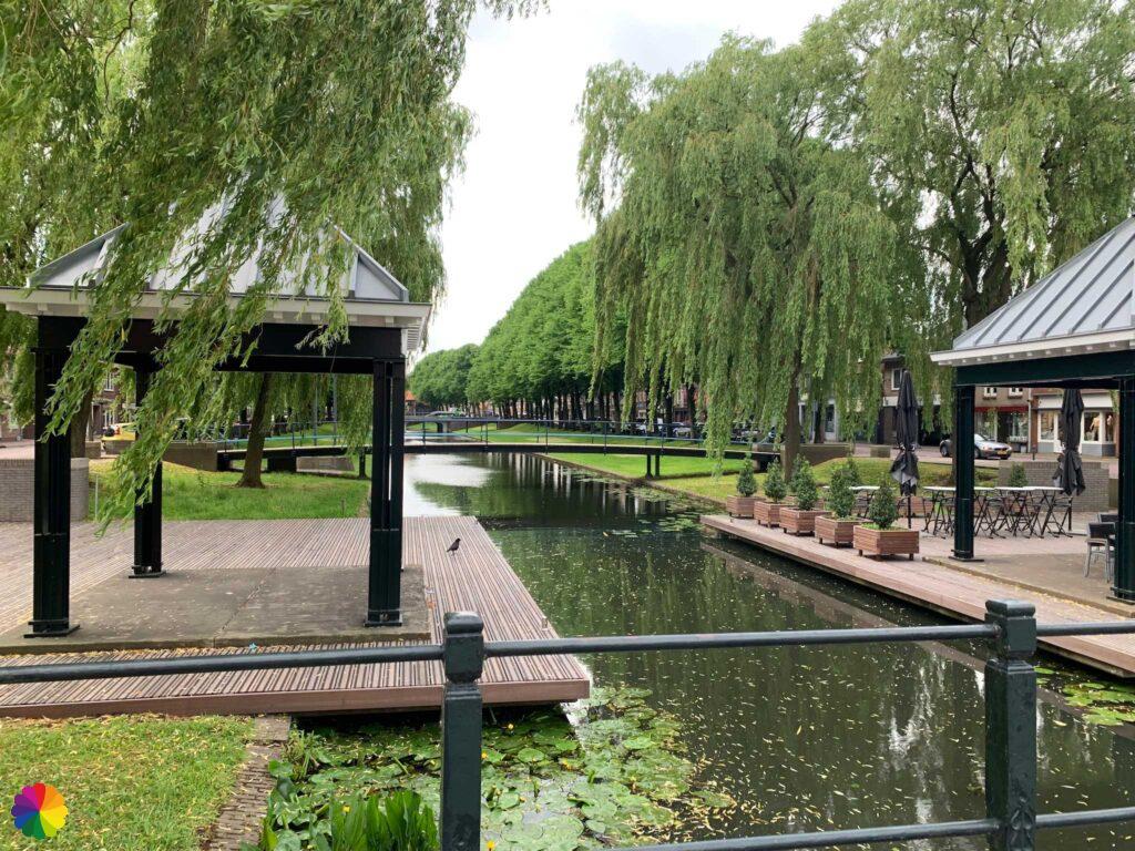
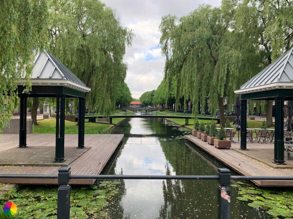
Then I am led back into the city centre and arrive at the beautiful old Town Hall. I take a photo and quickly move on. I walk along the Botte Kreek canal in the middle of the town. Not much later, I am back at the bus stop where I got off earlier this morning.

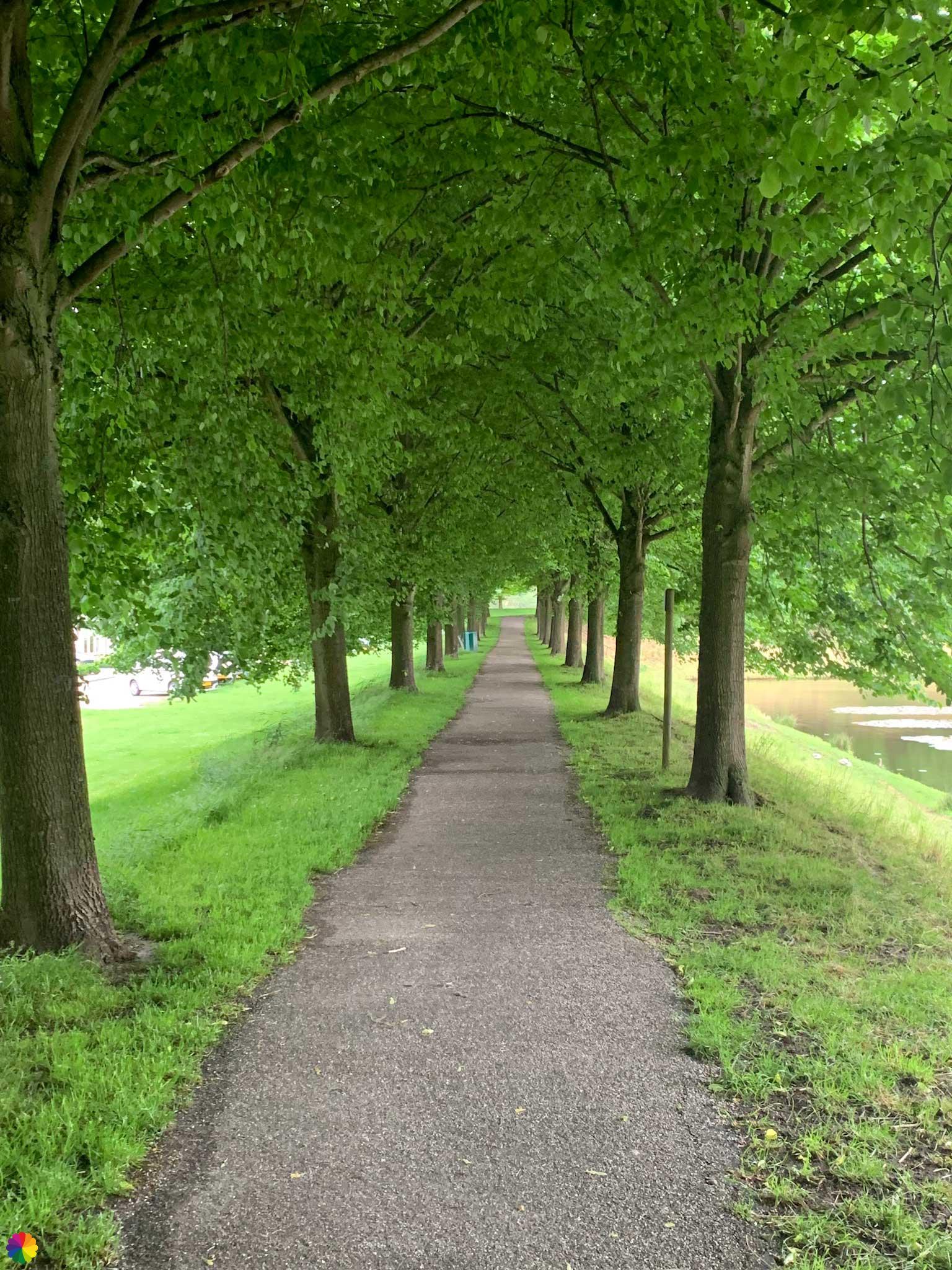
I have done a whole round trip, but I am not done yet. I turn right first and at the gas station I can go up another part of the city wall. I pass behind houses and backyards. Another nice little path. At the Zevenbergse Poort, I cross the road and the city wall continues.
I should actually take a path outside, but it is closed because of the restoration of the Old Dam with Stone Pawns. This is a defensive wall in the canal on which two stone pawns, called dolls or monks, are built. The pawns were useful for keeping enemies away. Last week, the pawns were still ‘dressed up’, but now the curtain is off and the finishing touches are being made to the restoration.


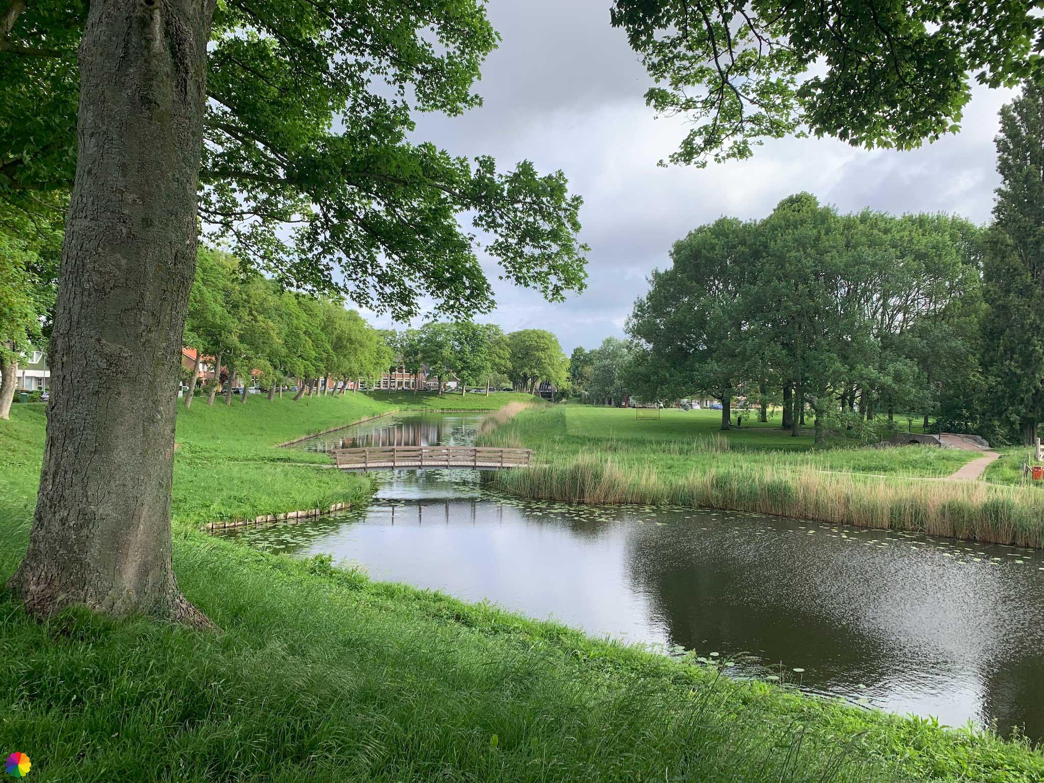
I walk past the Stone Pawns and a little further on turn right down towards a park. I walk across a cute little bridge.
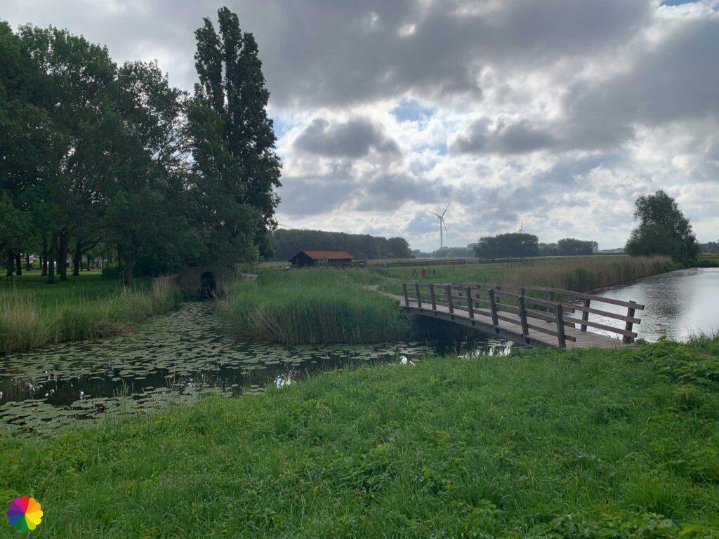
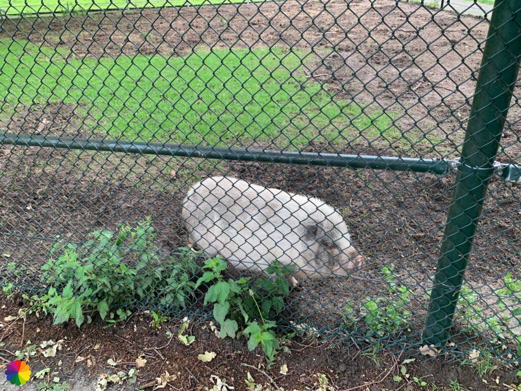
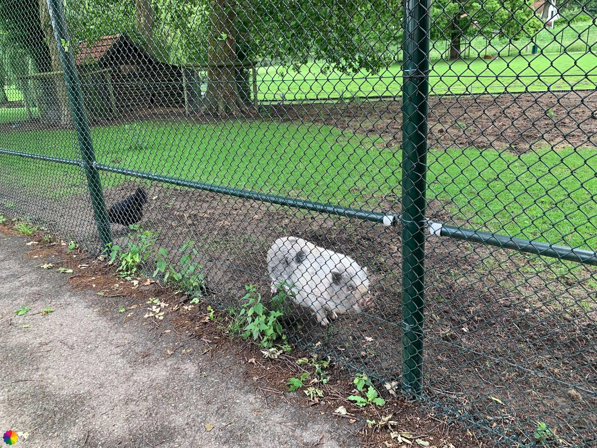
I go up the dike and then turn right. This is the same road as earlier this morning towards the petting zoo. By now it’s starting to pour and I take shelter under a tree at the edge of the petting zoo. Two pot-bellied pigs approach me. Those animals scream when they want attention. Now I understand where screaming like a suckling pig (Dutch expression) comes from!
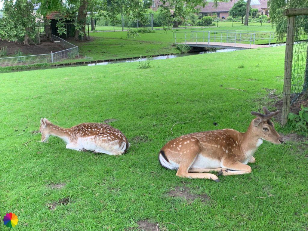
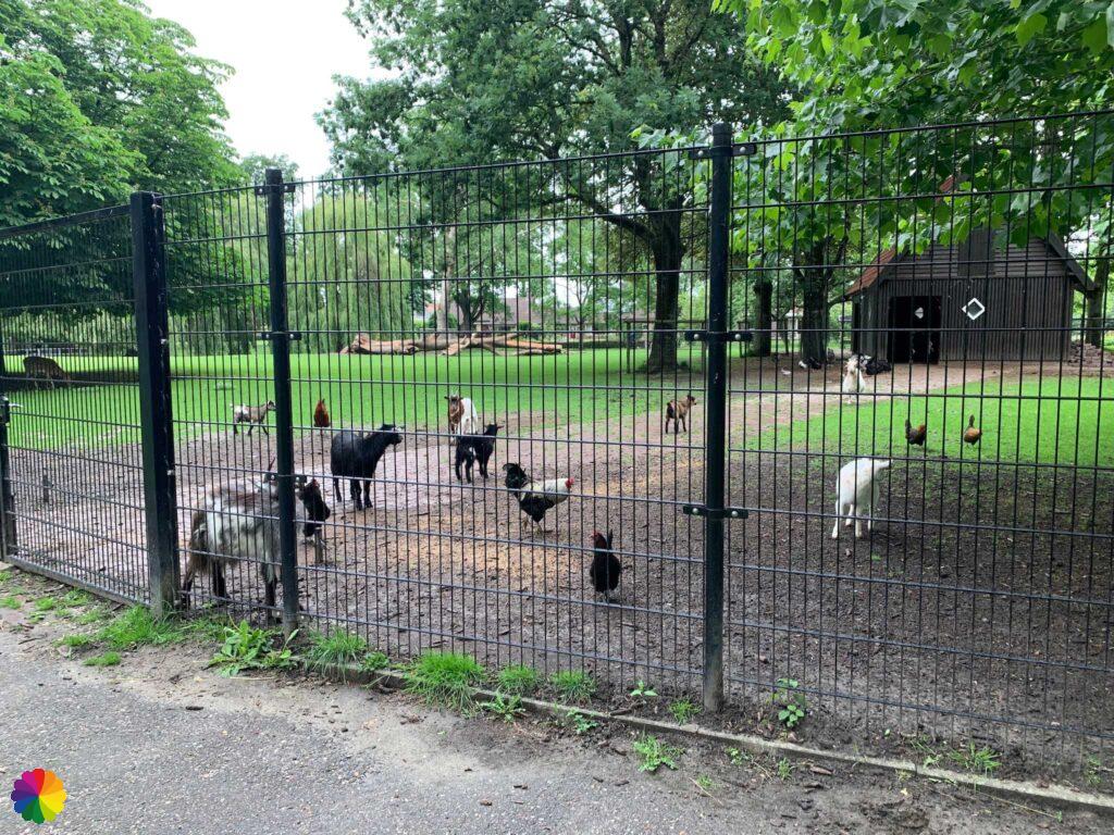
I walk past the petting zoo again. A couple of deer lie quietly munching in the grass. Suddenly, more animals come towards me: goats, chickens and donkeys. Just as I am about to continue on my trail, a farm employee arrives to feed the animals.


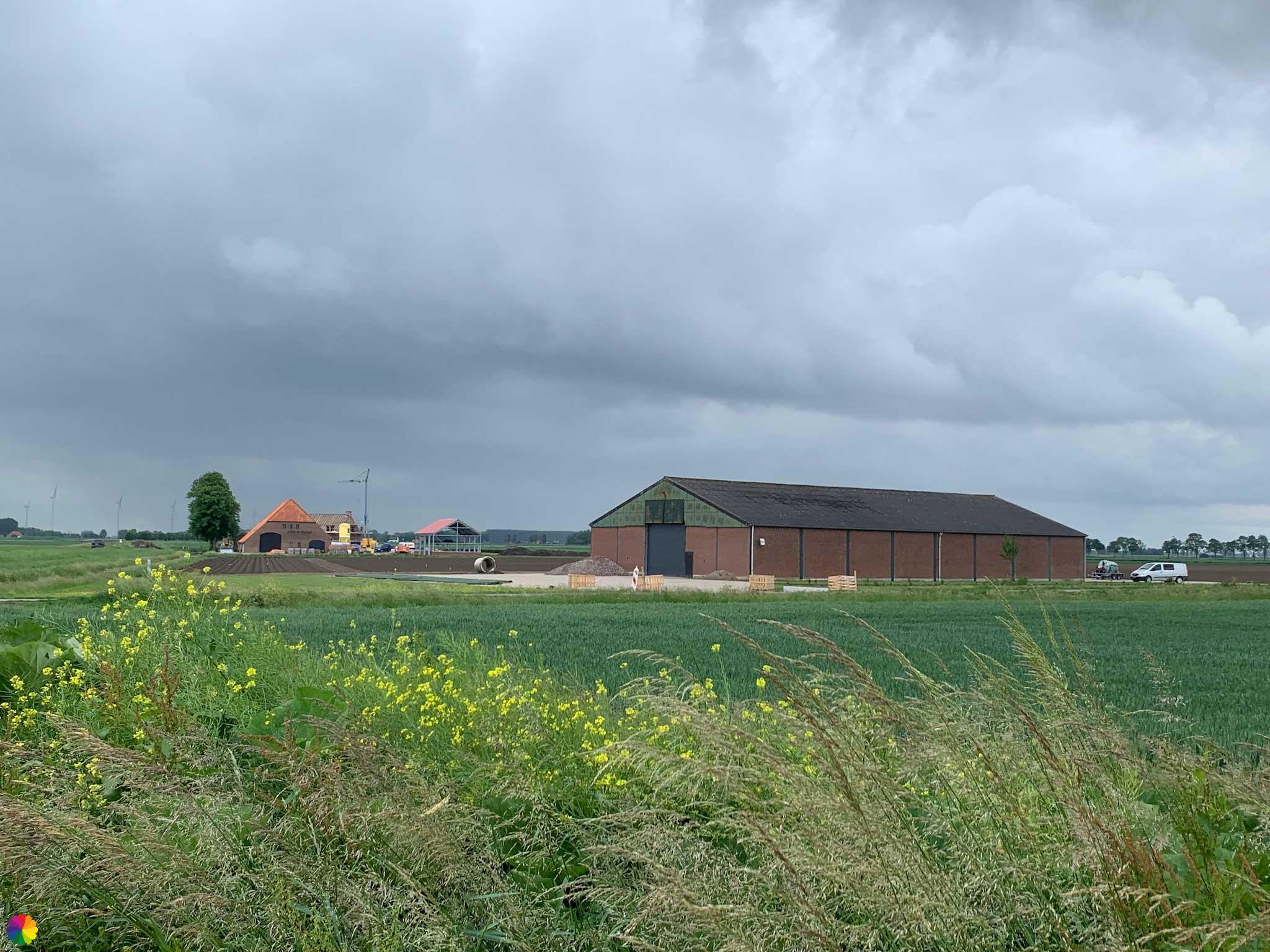
Detour across the Moerdijk industrial area
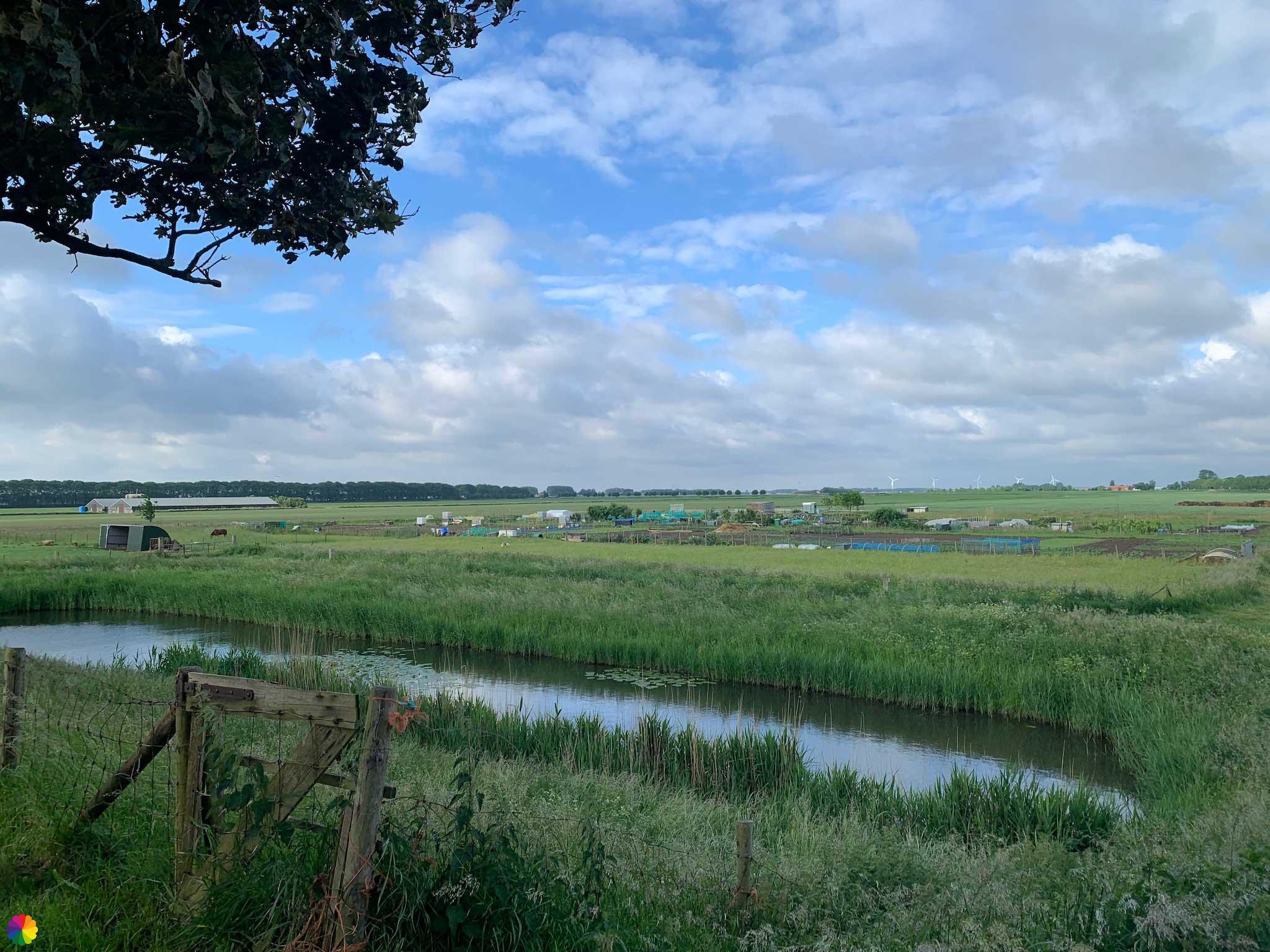
The next part of the trail is a bit boring. I first walk along a dike towards the Moerdijk industrial area. I need to turn right further on, but there are works in progress, with pile driving as well. It doesn’t look like I can pass there, so I have to find another way.
Unfortunately, that is quite a detour across the industrial area via long cycle paths and roundabouts, and past giant wind turbines. After at 45 minutes, I’m back on the trail. This part is not really recommended.
When I am on the other side I see a cyclist riding up the path that leads back to the dike. Maybe I could have gone through anyway, it’s really not clear to me. You might have better luck at the weekend, or when the works are over.
I cross the busy provincial road N285 and am on the Zevenbergseweg. This road paved with cobblestones is already a bit nicer. Tall trees are on both sides of the road.


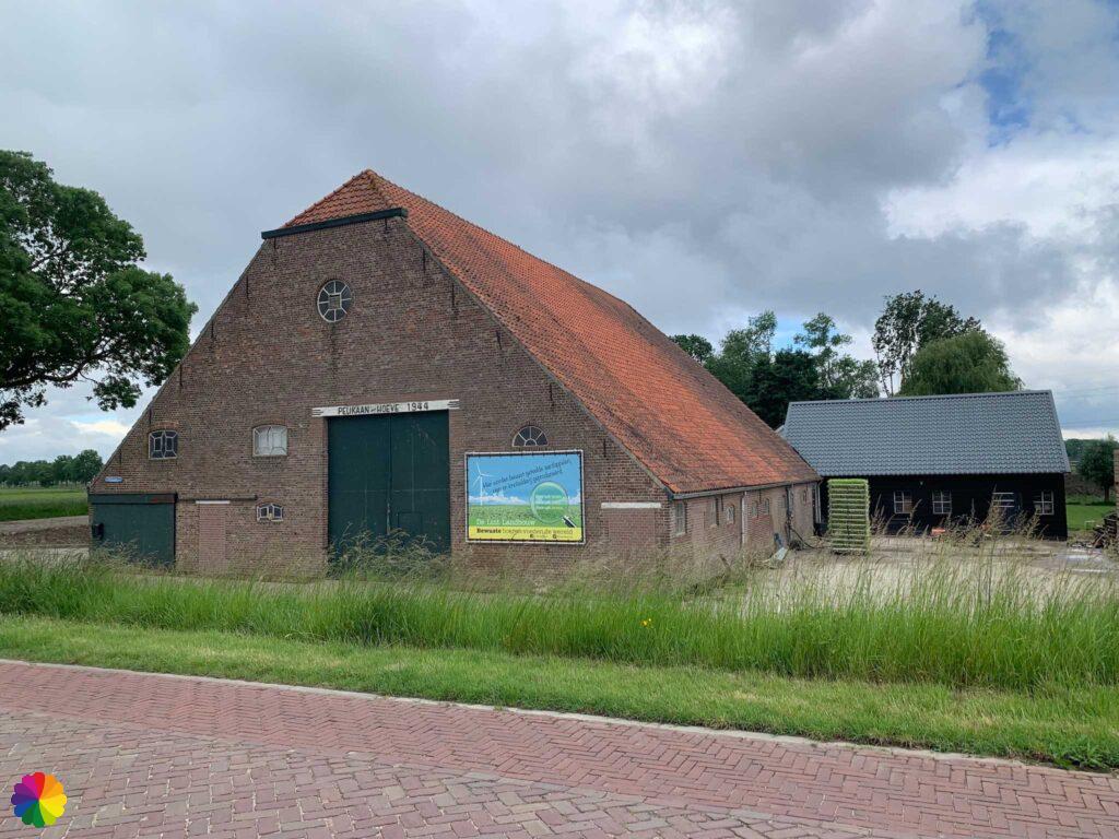
A little later, I go under the A17 highway via an underpass. This is already familiar territory from a previous walk I did near Zevenbergen. I pass through a hamlet (it seems more like one street) called Pelikaan (Pelican).
In a park in Zevenbergen, I stop this hike and walk home. This is a good point to start next time.
Final thoughts
Yet another beautiful fortified town. Klundert may not be as well known as Willemstad, but it is no less beautiful! The town hall and city walls are especially great to see.
Because I had to detour quite a bit over an industrial area, this hike does deserve one star less: a 3 star rating for this Fine hike.
More info:
Trail: Section 4 Southern Waterline trailWhere: from Klundert to Zevenbergen, Noord-Brabant, the Netherlands.
No. of km: +/- 15 km
Hiking date: 24 May 2022
Materials used in illustrations: Coloured pencils for the map and watercolour paints for the illustrations
Rating: ⭐⭐⭐
Pin this hike
Would you like to do this Fine hike as well? Pin this hike on Pinterest to save for later!

More hiking in Moerdijk
The two previous hikes on the Southern Waterline trail also passed through the Moerdijk local municipality. Want to know more? Then check out the blogs below:
ColourFlux Studio makes use of so-called affiliate links. If you buy a product through the link in an advertisement, ColourFlux Studio receives a small amount. There are no additional costs for the buyer.
Back to Blog.