This part of the Great rivers trail runs entirely along the Oude Maas. As I wrote in my first blog post: I don’t like too much of the same and constantly going straight ahead. My expectations of this part of the trail are therefore quite low. Too much of the same landscape: the river with ships, grassy paths and possibly some forest and well, a lot of straight ahead. But with good spirits, 19 degrees and a lovely sunshine I set off for Rhoon.

Rhoon and the Oude Maas
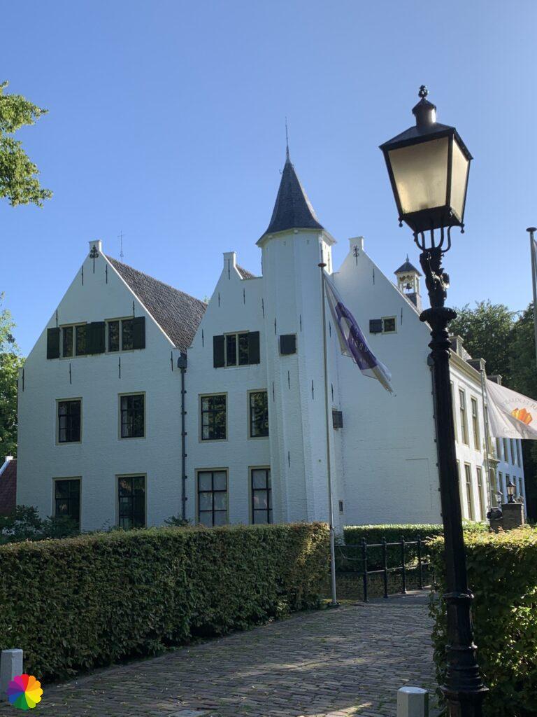
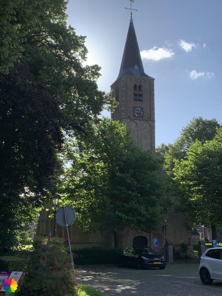
First I make a little detour to the Castle of Rhoon which is north of metro stop Rhoon. I take a few pictures of the castle and the town church Rhoon which I also encounter and quickly walk back through Rhoon on my way to the starting point of the trail.
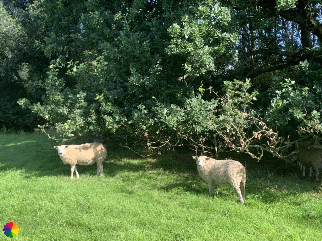
I pass the Albrandswaard swimming pool and walk straight ahead until I can’t go any further and reach the Oude Maas. First I eat my breakfast on a bench and then I continue. I turn right. This part is exactly what I expect it to be: river with ships, grassy path and some forest. At some point I have to turn right, away from the river. Then I turn left through a small fence. I cross a field with grazing sheep. And after the next fence I turn left again towards the river. It is not all straightaway, after all!
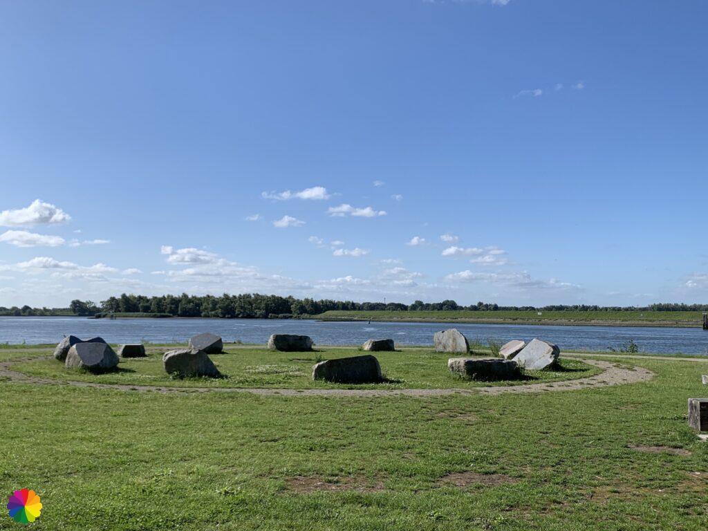
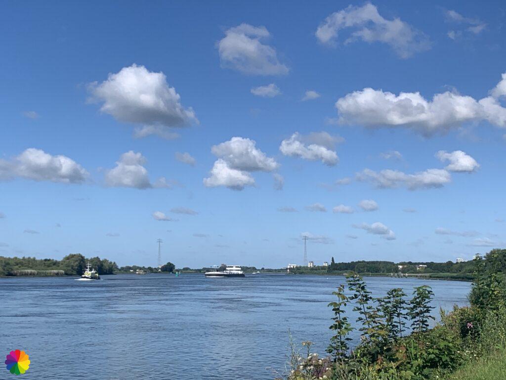
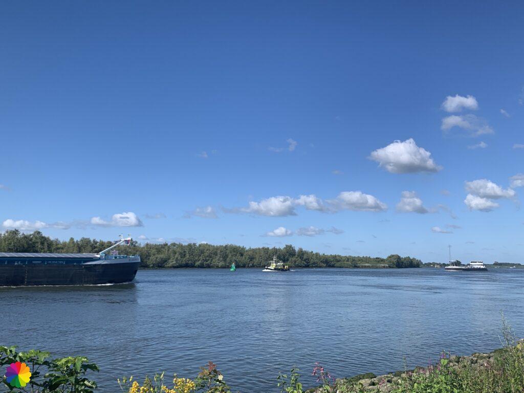
I walk through a more densely grown forest and have a number of vistas to the river. The river can go its course here at low and high tide and this creates beautiful sludgy beaches. This is not disappointing either!
Poortugaal and the Oude Maas
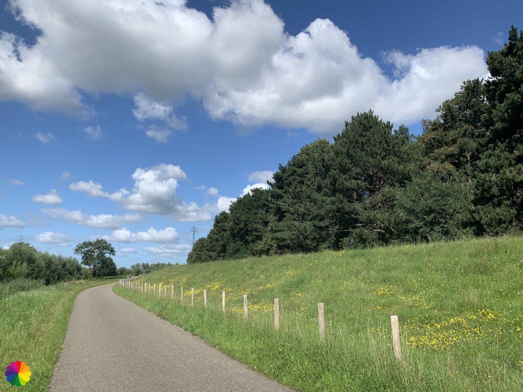
I follow the bend to the right and turn left again onto a cycle path that runs between the Oude Maas and a dike. I don’t actually see the Oude Maas, there are bushes, reeds and trees in front of it. Also a bit more varied landscape than I thought. Birds are whistling happily.
The cycle path continues straight ahead at the southern edge of Poortugaal. Then the cycle path goes to the right, to the left and again to the right. On my left you can see swamp forests near the Oude Maas.
Hoogvliet and the Oude Maas
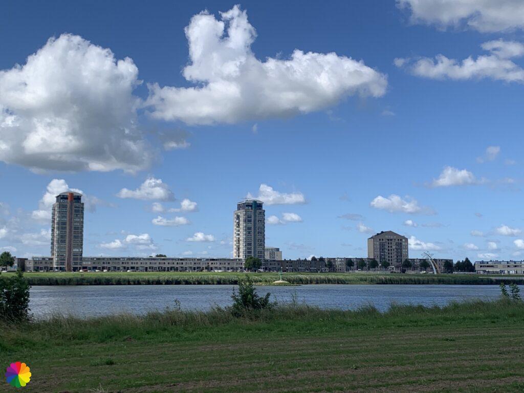
At Hoogvliet the trail crosses a dike parallel to the cycle path. I stay on the cycle path though, because the dike is overgrown with high grass and thistles. That’s not very pleasant. On the right-hand side behind the dike you can see Hoogvliet’s high-rise buildings. Is that why this place is called Hoogvliet (high-vliet)? 🤔
Where the name Hoogvliet comes from is not very clear. Until the sixteenth century the place was called Oudenvliet or Oedenvliet, a name that seems to have been derived from Oda, the ca. 1295 born daughter of Nicolaas III van Putten.
It is claimed that the name has something to do with the raising of the Vliet or with the All Saints’ Flood.
A vliet is an Old Dutch word for watercourse. In addition to Hoogvliet, you will also come across Geervliet and Heenvliet on the Great river trail.
Sources: Historisch Hoogvliet and Rotterdam City Archives (in Dutch).
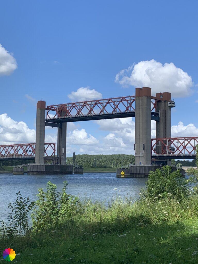
At a certain point the dike stops, the cycle path goes further. I walk past a playground/park on the edge of the Oude Maas. On the other side of the river you can see Spijkenisse and further on you can see the Spijkenisser bridge. The bridge is my end point for today. I still have a short distance to it.
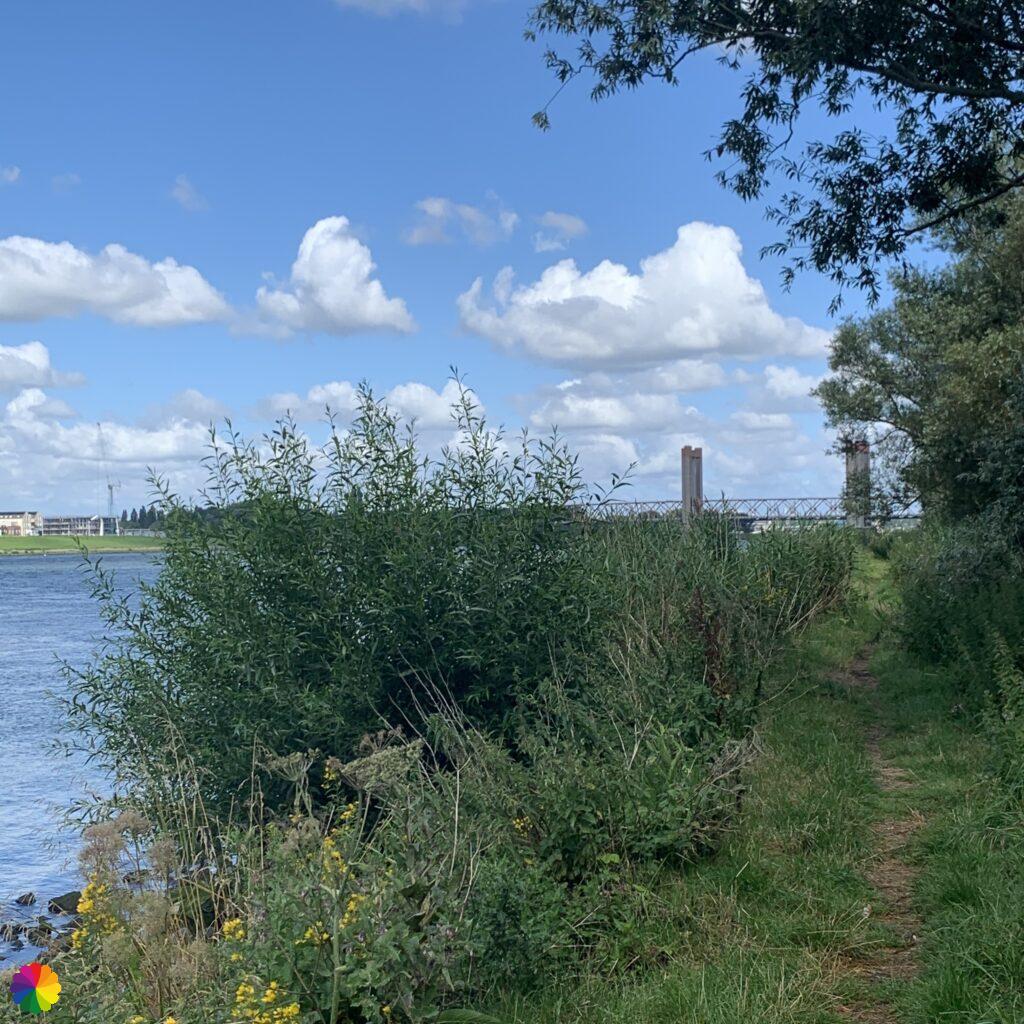
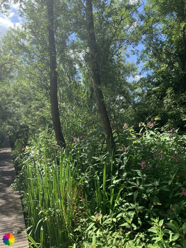
The trail turns left through a forest called the Visserijgriend. The trail continues along an unpaved path along the Oude Maas. At high tide the path is probably not accessible, because despite the drought the path is still damp.

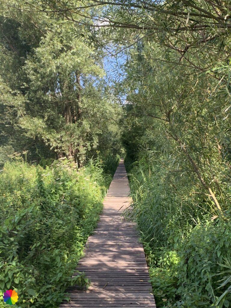
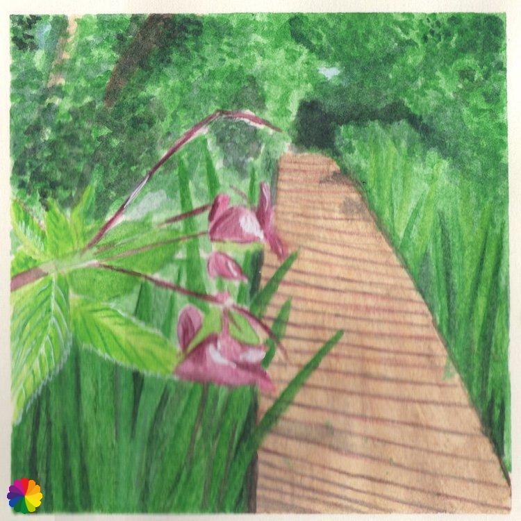
The path bends a little to the right and turns into a boardwalk path. I certainly did not expect this! The beauty of a boardwalk path is that you walk straight through nature. The decks are above the water, you can’t get any closer to nature than this! The walkway is sometimes quite high and there is no railing to hold on to. A runner suddenly comes from the opposite direction, but fortunately there is a crossroads and I can move aside for a second.
Other trail guide about the same region
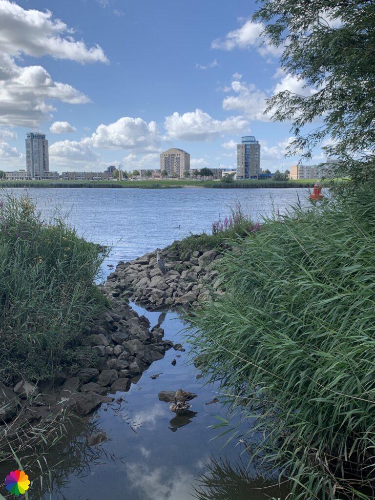
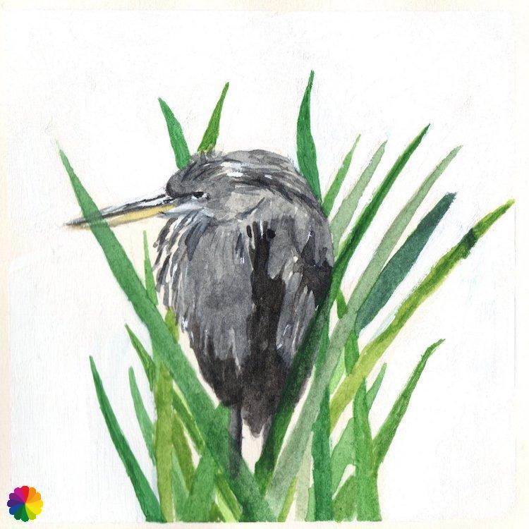
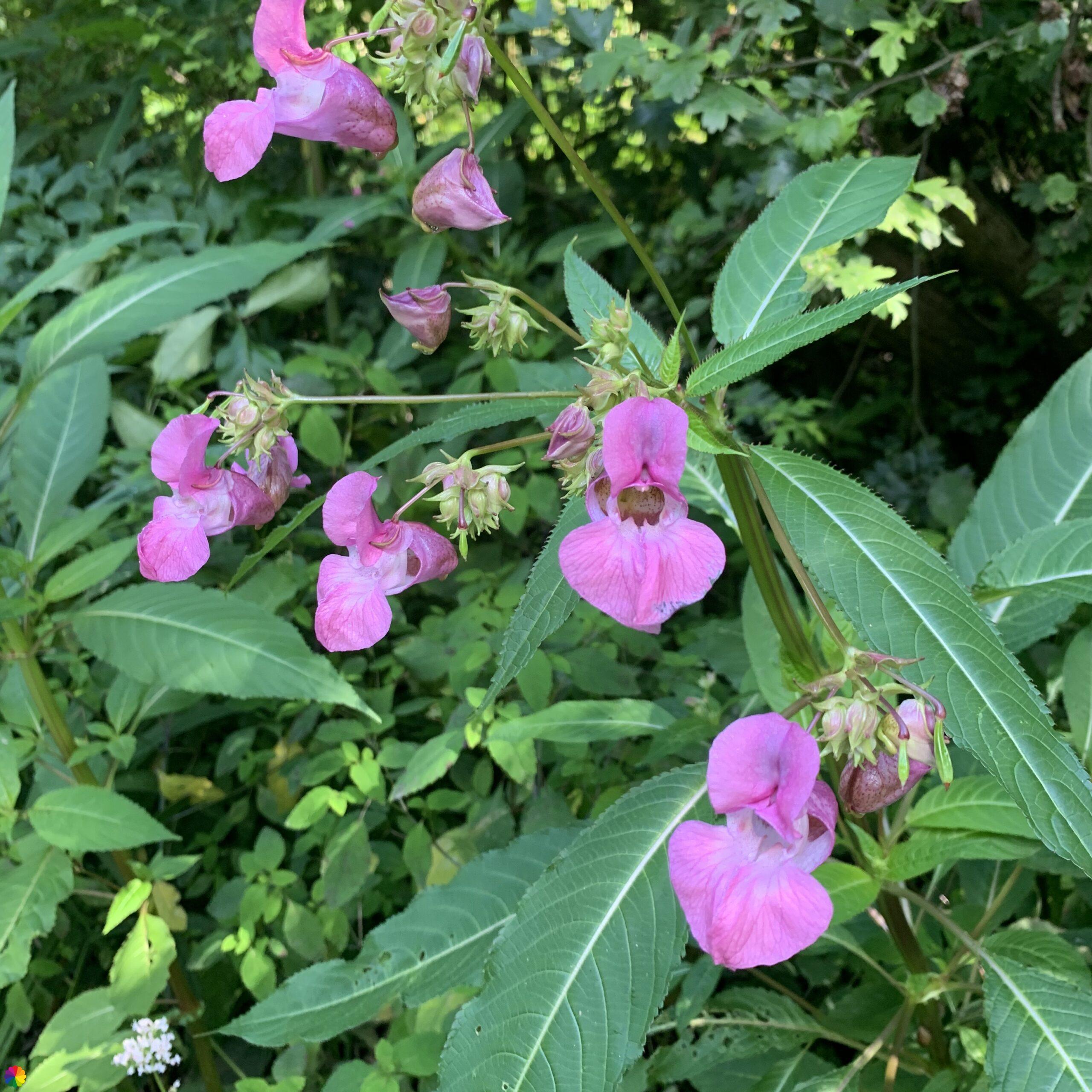
The most beautiful flowers and plants grow along the path. Right along the path in the water is also a (young) grumpy looking heron. He stays motionless, I quickly take a picture and walk along the bird. Unfortunately the path is only of a short length and I have to turn right again towards the inhabited world. Near the Spijkernisser bridge I stop my hike and look for the nearest public transport connection.
Final thoughts
What a surprising trail! As I wrote earlier, I had prepared myself for a boring route, but none of that turned out to be true. A lot of variety in landscape and a great end of the hike with a boardwalk path. I vote for more boardwalks! Up to now this was one of my most favourite hikes on the Great rivers trail.
More info:
Trail: Section 3 Long distance trail 6 Great rivers trailWhere: from Rhoon to Hoogvliet, Zuid-Holland in The Netherlands.
No. of km: +/- 10 km
Hiking date: 20 July 2020
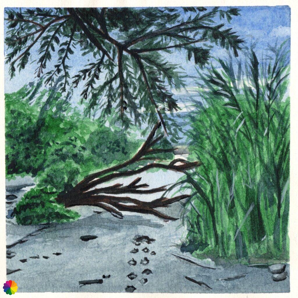
Materials used in illustrations: Inktense pencils and watercolour paints
Rating: ⭐⭐⭐⭐
ColourFlux Studio makes use of so-called affiliate links. If you buy a product through the link in an advertisement, ColourFlux Studio receives a small amount. There are no additional costs for the buyer.
Back to Blog


