- follow the trail as far as Wormer and then take the train back at Wormerveer on the other side of the river Zaan.
- or walk a bit further at Wormer via the connecting trail that goes through the world-famous Zaanse Schans.
Along the way, I cross a canal with the Spijkerboor ferry. This time, I checked the schedule in advance and there are no disruptions. Last time on the Trekvogelpad, it almost went wrong.
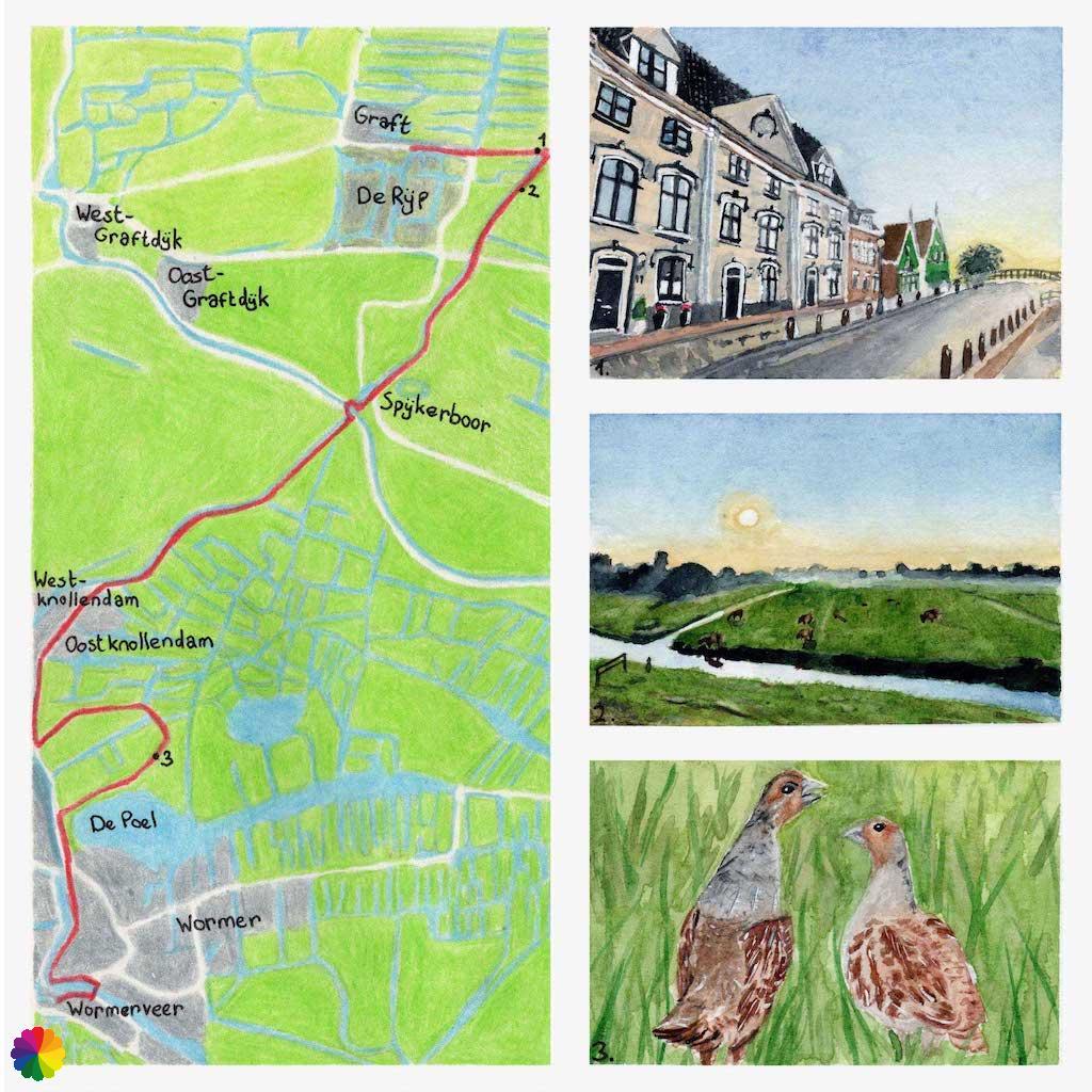
De Rijp
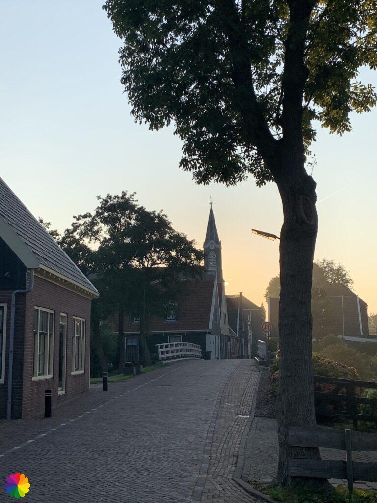
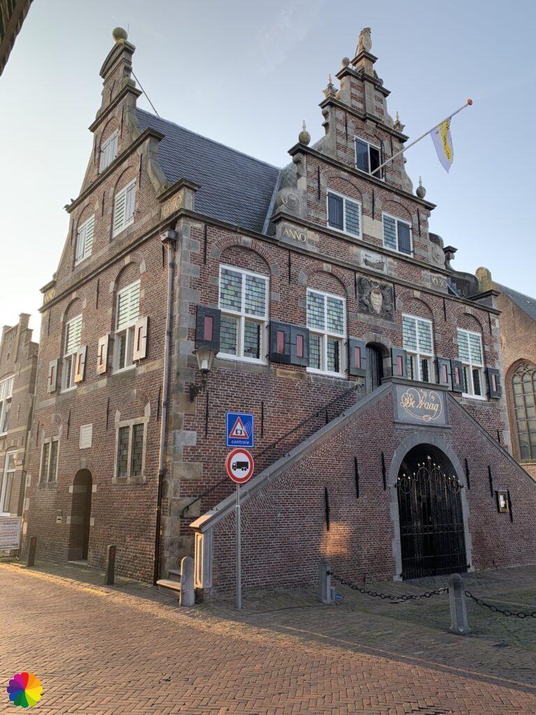
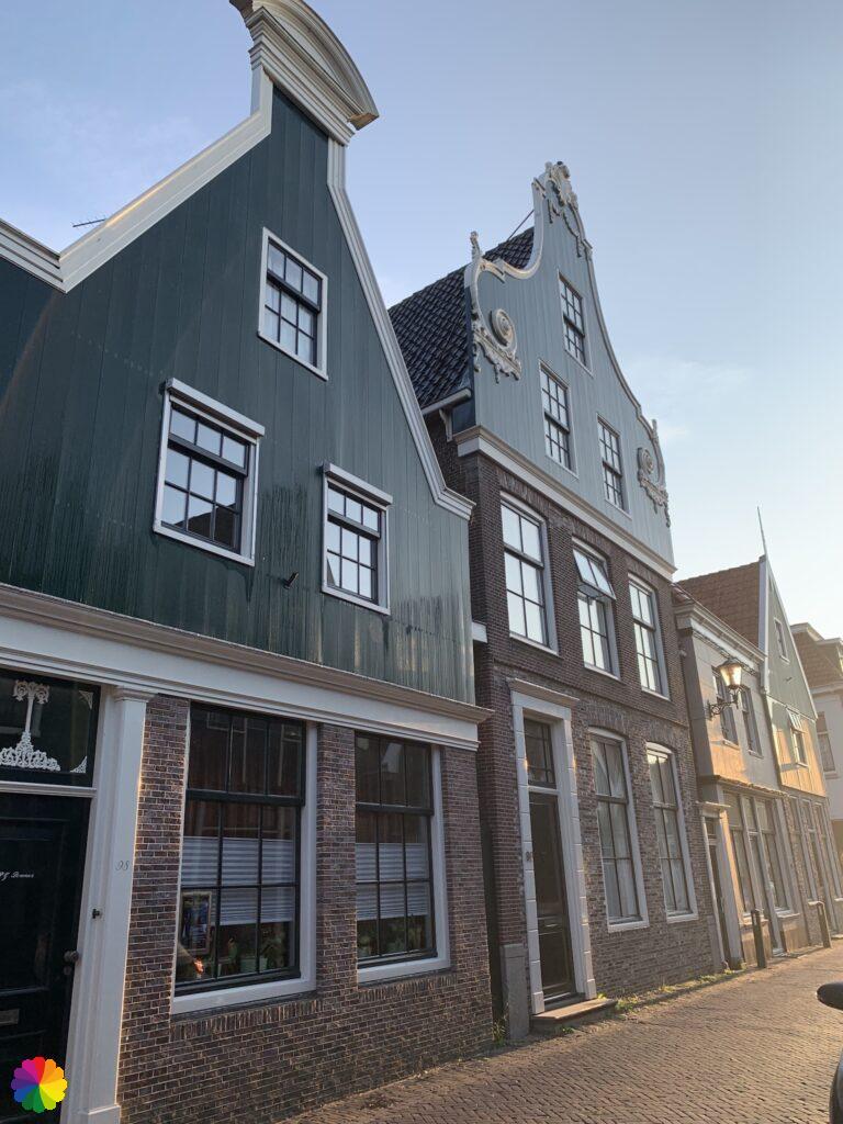
Early in the morning, I get off the bus in De Rijp. The sun has just come up and casts a golden glow over the town. I walk along the main road through the centre of De Rijp. It is quite busy with people going to work by car. I pass the Waag (Weigh house), which also has a beautiful golden glow. On my previous visit to De Rijp, I couldn’t get enough of the beautiful wooden façades, but now they are even more beautiful with the rising sun.
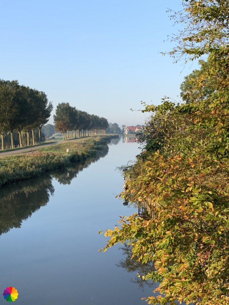
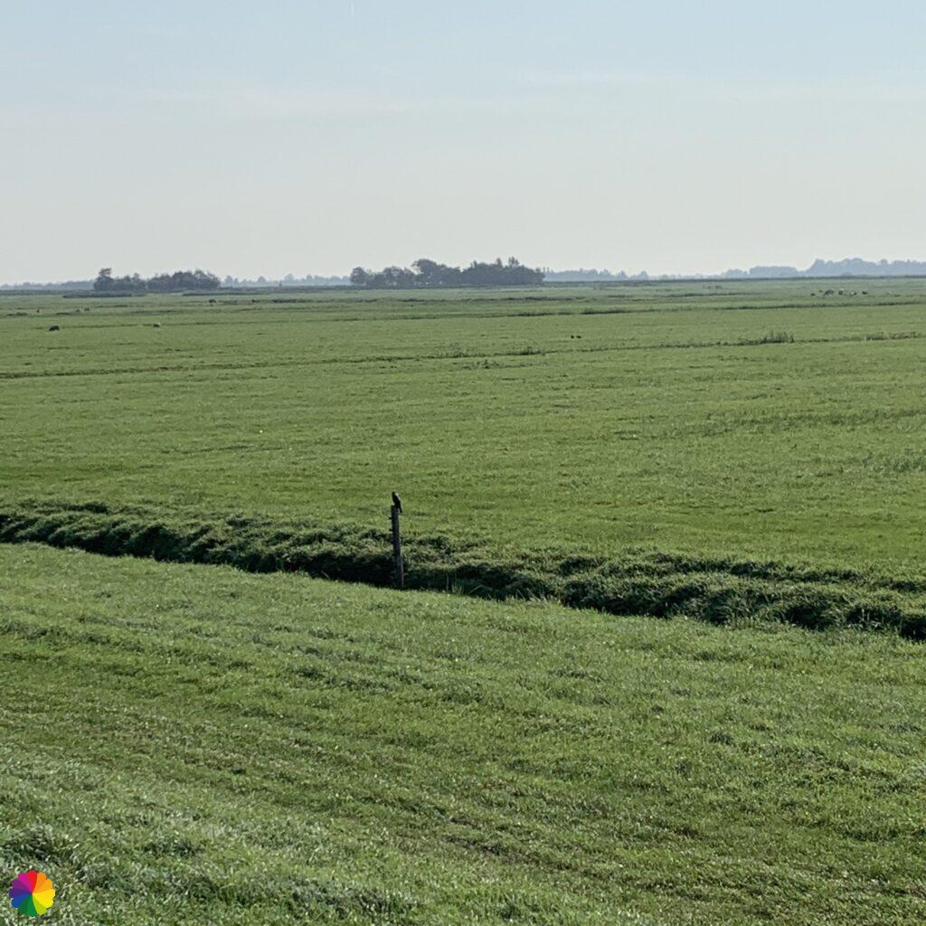
At the end of the road I cross the bridge over the Beemsterringvaart and turn right. On my other side, I have a splendid view of the low-lying fields of the Beemster.
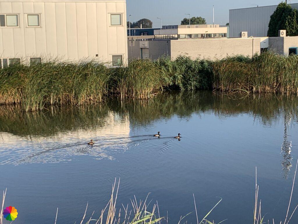
This time, I am also keeping a bird checklist. I look carefully around me to see which birds I come across. A number of black and white ducks are swimming in the canal. They turn out to be crested ducks. It is the first time that I have seen this type of duck. These ducks are not very rare by the way; I see them much more often on later trails.
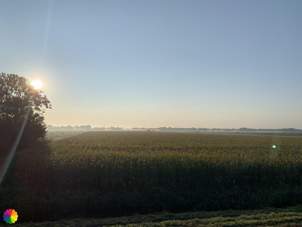
My path is still straight ahead. I walk past many farms that are located on the side of the fields.
Spijkerboor
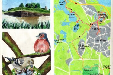
After a while, I pass by Fort Spijkerboor. This defensive structure is part of the Defence Line of Amsterdam. The long distance trail called the Waterliniepad (Water defence line trail) also passes by here. This trail passes many defence works of the Stelling van Amsterdam and the Nieuwe Hollandse Waterlinie. Of course, this trail is also on my list. For now, I still have many parts of the Migration birds trail to do.
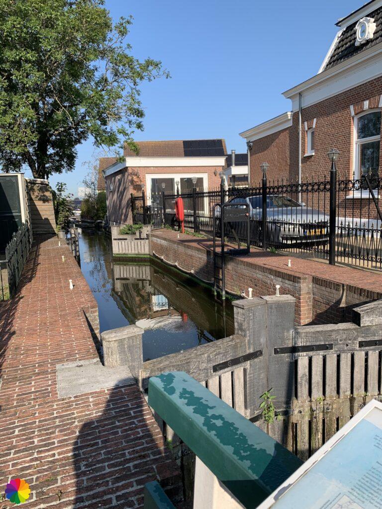
At Fort Spijkerboor, the trail bends to the right and a little further on I reach the Noordhollandsch Kanaal for the second time, where the ferry from Spijkerboor takes me to the other side. Earlier, I crossed this canal with the ferry at Akersloot. After the crossing, I take a break on a bench.


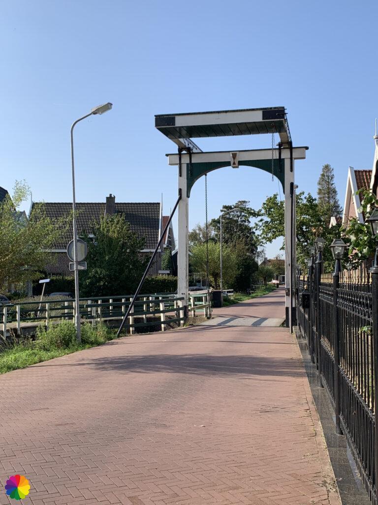
I go ahead in the direction of the red and white markings on the right-hand side of the Knollendammervaart canal. I have a feeling I’m not going in the right direction so I take a quick look in the trail guide. Oh, I’m following the markings of the Water defence line trail, I should be on the left-hand side of the canal. Luckily, I realised this in time. I cross the drawbridge and continue along the canal.
Other trail guide about the same region
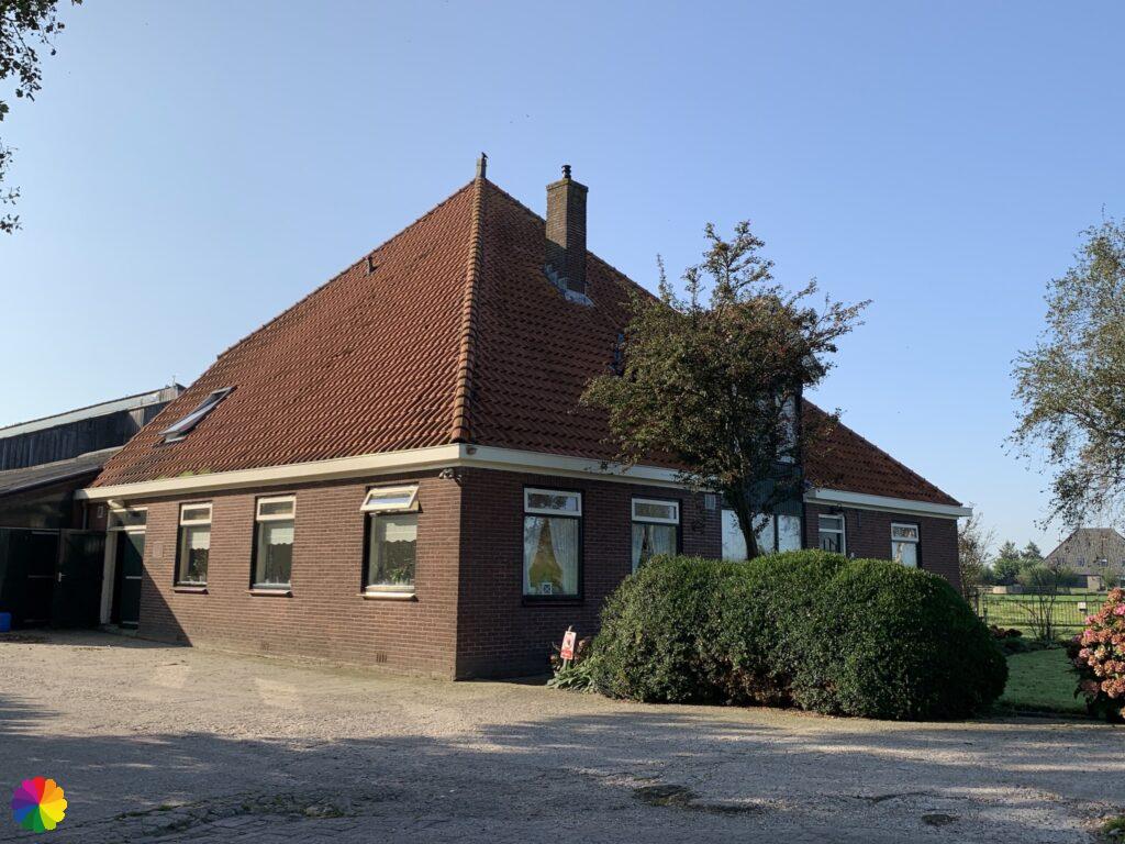
Again, it is a long way straight ahead until I reach Oostknollendam. I first pass the Noord-Hollands Hof farm where there is a so-called resting point (Rustpunt).
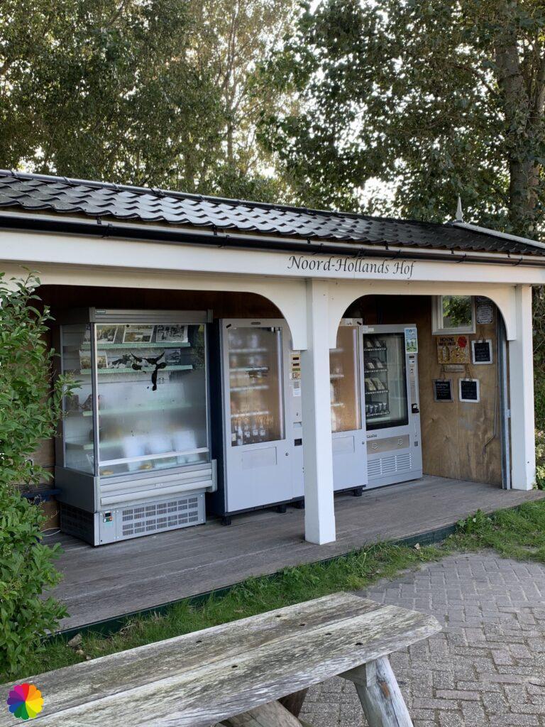
Resting Points are places in various provinces in the Netherlands where hikers and cyclists can take a well-deserved rest. Volunteers have opened up their property and offer coffee, tea, lemonade and something to eat, or you can possibly make use of the toilet. Often, such a point is at a farm, a residential home or a campsite.
You can recognise a Resting Point by the sign with the Rustpunt logo. Take a look at the website Rustpunt.nu where these points are located.
The Resting Point I come across is a farm shop in the form of vending machines. On another trail (Tempel trail) in the Green Heart near Reeuwijk in the Netherlands, I came across such vending machines earlier. I am curious to see what is for sale. The cups of ice cream catch my eye. It is only half past nine in the morning but ice cream is always a good idea. I choose hazelnut ice cream and it tastes delicious.
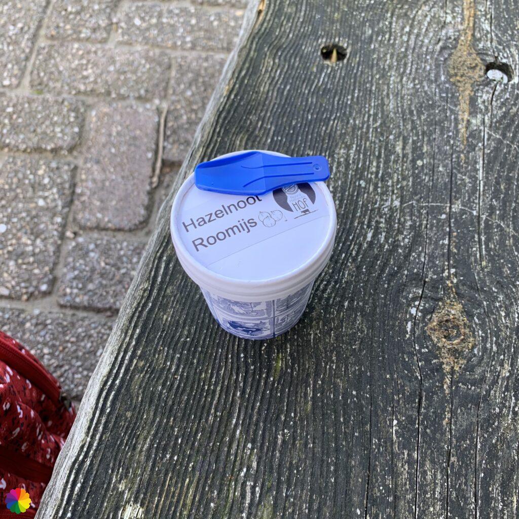
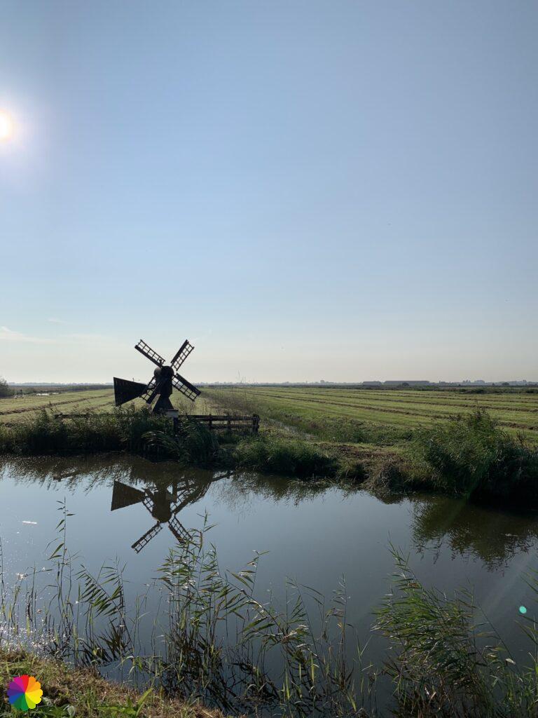
I finish my ice cream while walking and continue along the Knollendammervaart canal. On my left, the wide fields of the Beemster have changed into the Jisperveld. There is a lovely small windmill along the water’s edge.
Oostknollendam
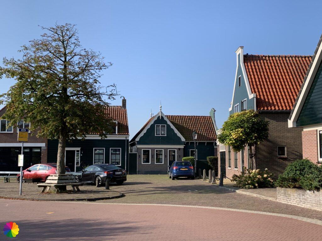
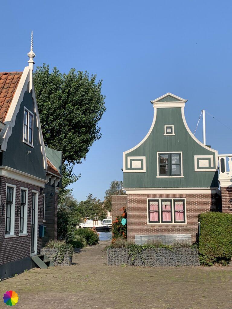
When I arrive Oostknollendam, I once again gape at the houses with beautiful facades.
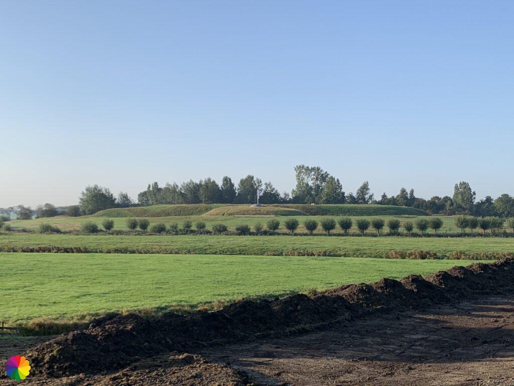
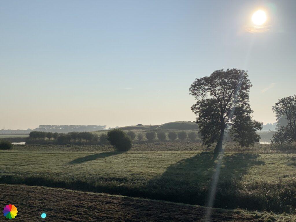
Halfway through Oostknollendam, the trail makes a loop around the Schaalsmeerpolder. This polder is part of the Wormer- and Jisperveld, the largest contiguous peat meadow area in Western Europe. The trail first goes over a paved road and later changes into a grass path.
I pass the visitors centre called de Poelboerderij of Natuurmonumenten. The visitors centre is closed on this Monday morning. On the website of Natuurmonumenten you can find a similar trail through the Schaalsmeerpolder.
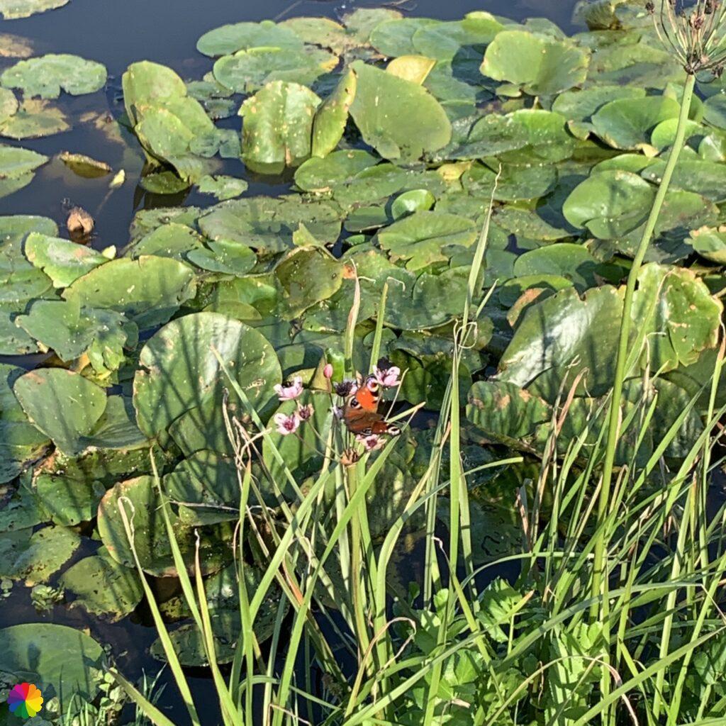
The Wormer- and Jisperveld is a paradise for black-tailed godwits. At the visitors centre, there is a sign with an enormous black-tailed godwit on it. Unfortunately, I don’t see any black-tailed godwits at this time. In spring, you have more chance to see these birds. In the distance, in the grass, I do see something brown scurrying around. At first, it looks like a pair of hares, but when I look closer, I see that it is a type of bird. They look like pheasants, but the brightly coloured male is nowhere to be seen. After a quick google search, I come to the conclusion that they are partridges. I can add this species to my checklist. The birds are too far away to take a good photo.
The partridge is a member of the fowl family and has a brown and grey striped plumage. The head is orange-brown in colour. Partridges are found in the Netherlands mainly in the fields and meadows. The number of partridges has decreased drastically in recent years (as with many other meadow birds).

Source (in Dutch): Vogelbescherming
| Birds seen between De Rijp en Wormerveer (in Dutch) | |||
|---|---|---|---|
| ✔ Blauwe reiger | ✔ Holenduif | ✔ Kuifeend | ✔ Waterhoen |
| ✔ Boerenzwaluw | ✔ Houtduif | ✔ Meerkoet | ✔ Wilde eend |
| ✔ Buizerd | ✔ Huismus | ✔ Merel | ✔ Witte eend |
| ✔ Ekster | ✔ Kauw | ✔ Patrijs | ✔ Witte kwikstaart |
| ✔ Fuut | ✔ Kievit | ✔ Spreeuw | ✔ Zilvermeeuw |
| ✔ Grauwe gans | ✔ Kleine Canadesche gans | ✔ Stadsduif | |
| ✔ Halsbandparkiet | ✔ Kolgans | ✔ Turkse tortel | |
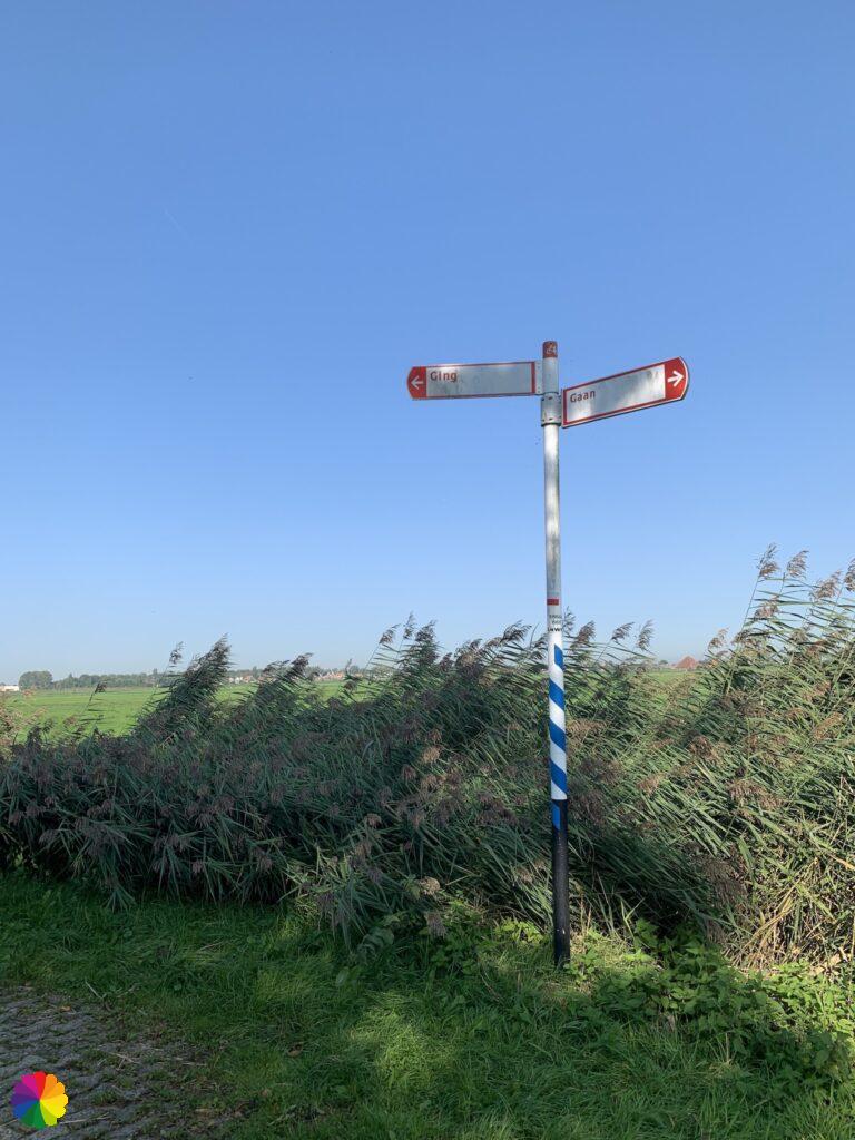
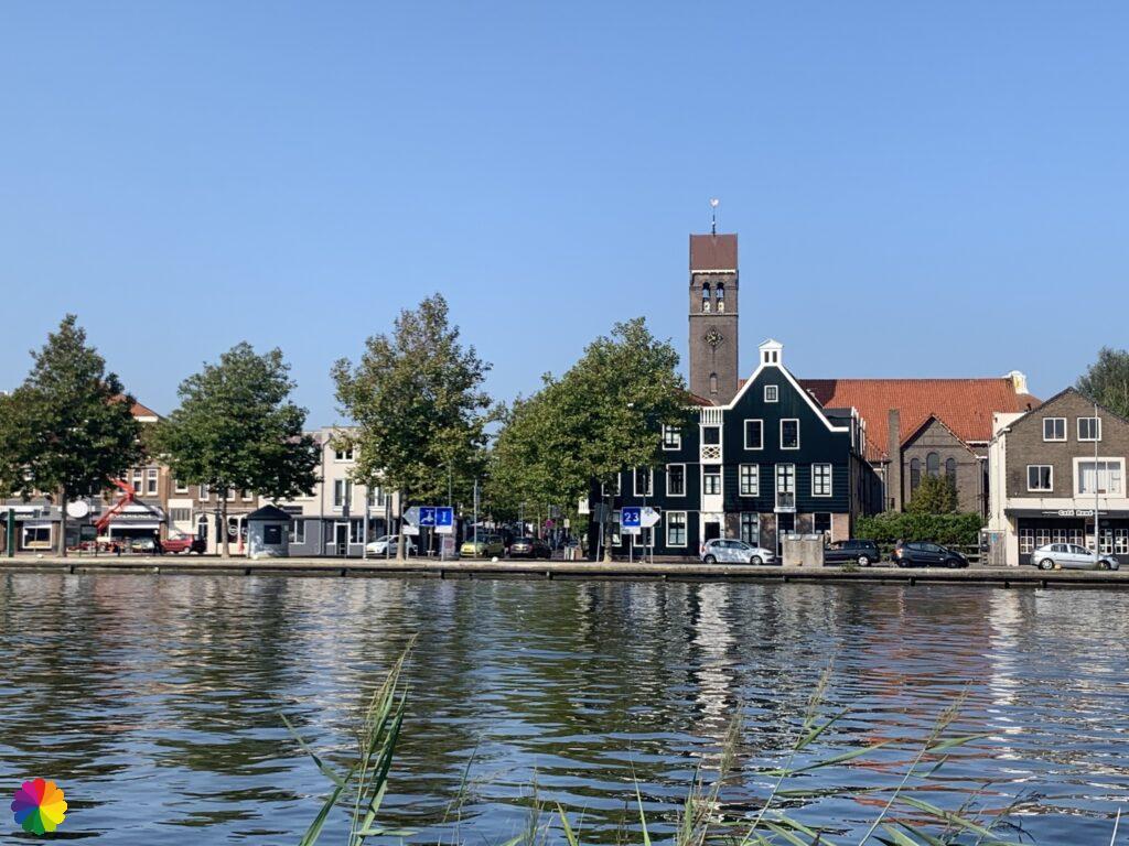
The trail through the Schaalsmeerpolder goes with a curve to the right. In the distance, the factories along the river Zaan are visible. At the end of the grassy path, there is a signpost with the directions ‘going’ and gone’. I go on in the ‘gone’ direction. That is good thing, because I decide to take the quickest route to the nearest station. I save the alternative trail through the Zaanse Schans for next time.
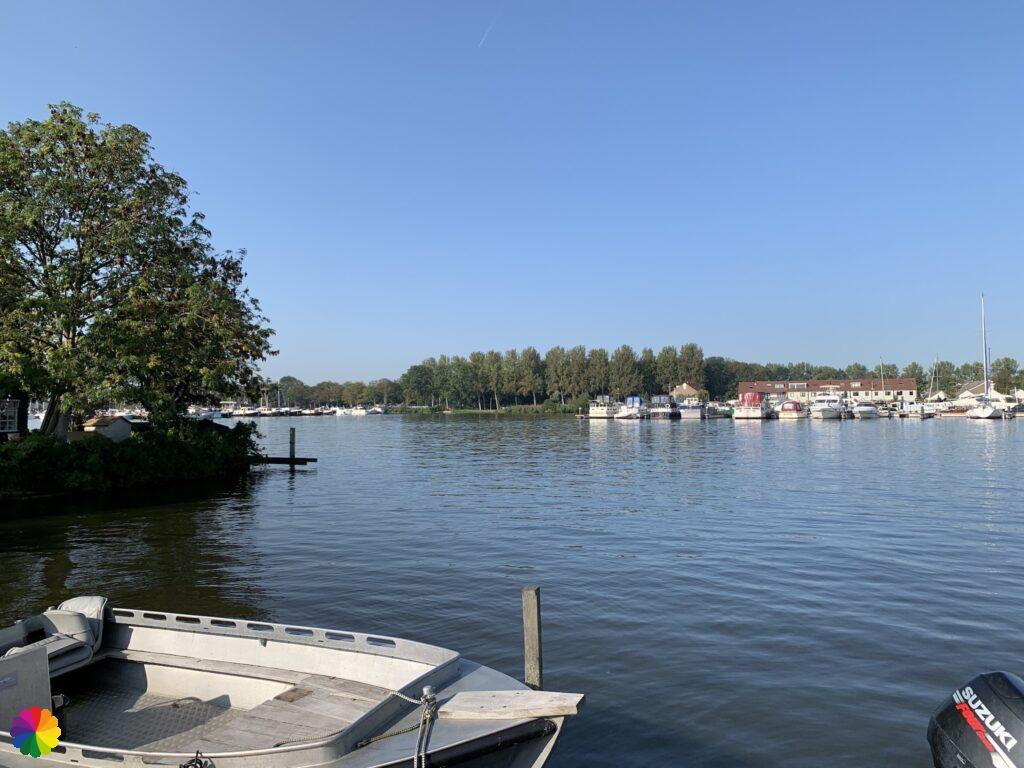
I walk along a lake called De Poel with a marina. Through the trees on my path, a number of bright green rose ringed parakeets are flying.
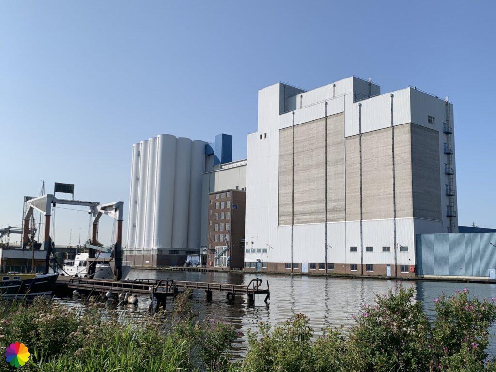
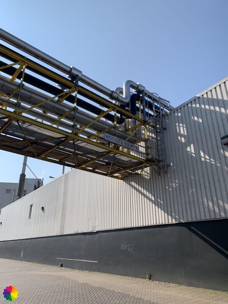
I arrive at river the Zaan, on the other side of the river, large factories can be seen. When I reach the edge of Wormer, I walk underneath the pipes of a factory that produces cocoa. Around this part of the route, the peculiar smell of cocoa lingers.
Wormer and Wormerveer
Across the river, the factories have made way for Wormerveer. That is where I can catch my train. I only have to walk along the river to the next bridge.
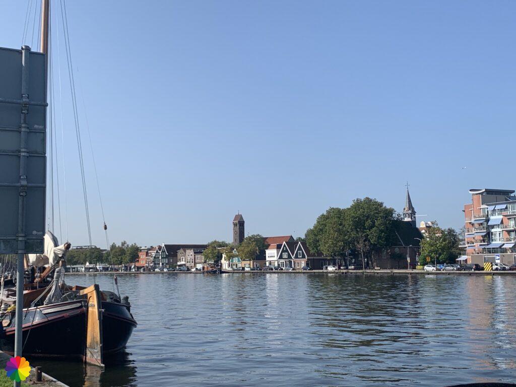
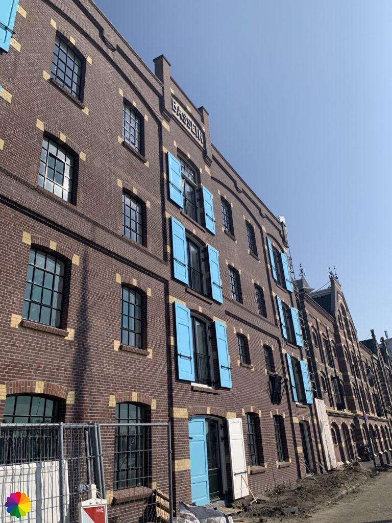
I walk past large warehouses that are now home to trendy businesses and restaurants. When I cross the bridge to the other side, the warehouses on the Wormer side are even better to see.
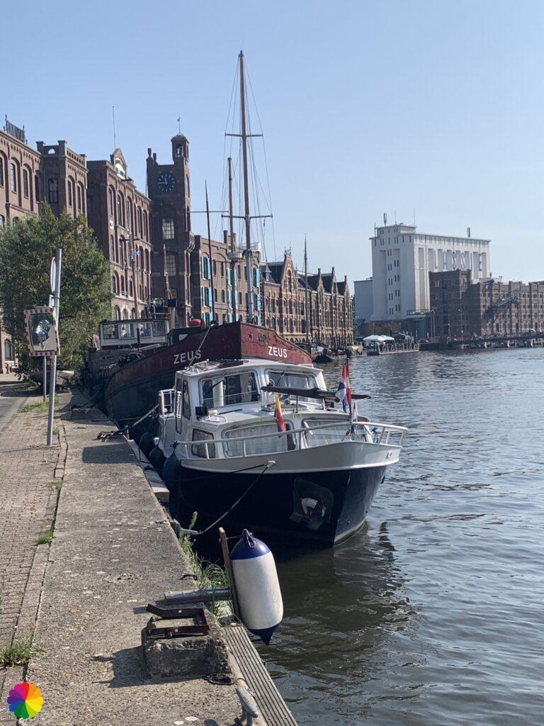


I back a little bit along the Zaan, now on the Wormerveer side. Five minutes later, I have arrived at the railway station and can take the train back home.
Final thoughts
The first part to Oostknollendam is mostly straight ahead, and we know by now that straight ahead is not my favourite. Nevertheless, I enjoyed this hike. The beautiful sunrise and the loop through the Schaalsmeerpolder made up for a lot. It was a nice, average three-star rating hike.
More info:
Trail: Section 3 Long distance trail 2: Migration birds trailWhere: from De Rijp to Wormerveer, Noord-Holland, the Netherlands.
No. of km: +/- 15 km
Hiking date: 14 September 2020
Materials used in illustrations: coloured pencils for the map and watercolour paints for the other illustrations
Rating: ⭐⭐⭐
ColourFlux Studio makes use of so-called affiliate links. If you buy a product through the link in an advertisement, ColourFlux Studio receives a small amount. There are no additional costs for the buyer.
Back to Blog