This section of the Southern Waterline trail between Terheijden and the Spinolaschans near Breda in the Netherlands initially seemed to me a somewhat boring trail, but that is not the case. Instead, the trail is very varied, going through meadows, forests and along defence line structures. A big improvement from the previous hike on this trail.

Terheijdense Binnenpolder
I start on the outskirts of Terheijden and first walk a bit through a residential area and a playground forest towards the polders. I go to the other side of the road via a viaduct and leave Terheijden behind me. Around me are wide stretches of farmlands and I hope this is not the view of the entire hike. That would make it a bit boring.

Fortunately, I reach a winding gravel path after only five minutes. That’s what I like to see. A sign tells me this is the Terheijdense Binnenpolder. The view changes a bit too, from croplands to marshy meadows with more vegetation. On an information panel, I find out more about the wetlands that are created.


Two defence line structures
Not much later, the landscape changes again; I am on the edge of a town called Made at the Linie van den Hout. This former defence work of the Southern Waterline has now been transformed into a forest nature reserve. I walk along nice winding paths with sometimes significant height differences.


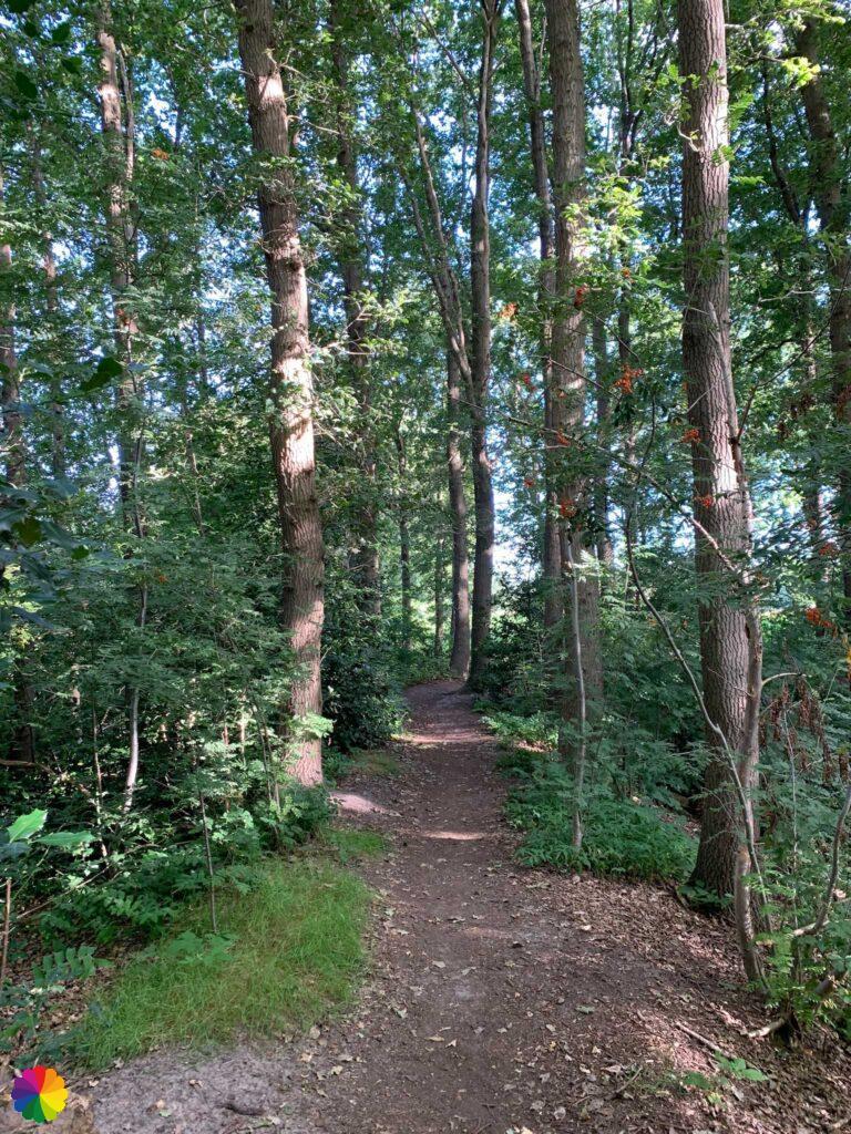
This zigzag-shaped defence line dates from 1625 and was built to defend the area between Breda and Geertruidenberg. And as was common in water lines, the surrounding polders could be flooded. Later, oak trees were planted on and around the line walls and it grew into a beautiful nature reserve.
Source (in Dutch): Zuiderwaterlinie
I cross a road and on the other side, the trail continues on more nice forest and grassy paths.


After this beautiful nature reserve, it is once again time for polders and fields. As I turn left and right, the farmland passes me by. Every now and then I pass a nice farmhouse.


Before it starts to get really monotonous, I reach the next defence work converted into a nature reserve: Linie van de Munnikenhof. This nature reserve is similar to Linie van den Hout. This time I do walk more along the forest edge overlooking cornfields.


Linie van de Munnikenhof was also built to defend the area between Breda and Geertruidenberg. At the beginning of the 21st century, the line was restored to its original state.
Source (in Dutch): Zuiderwaterlinie
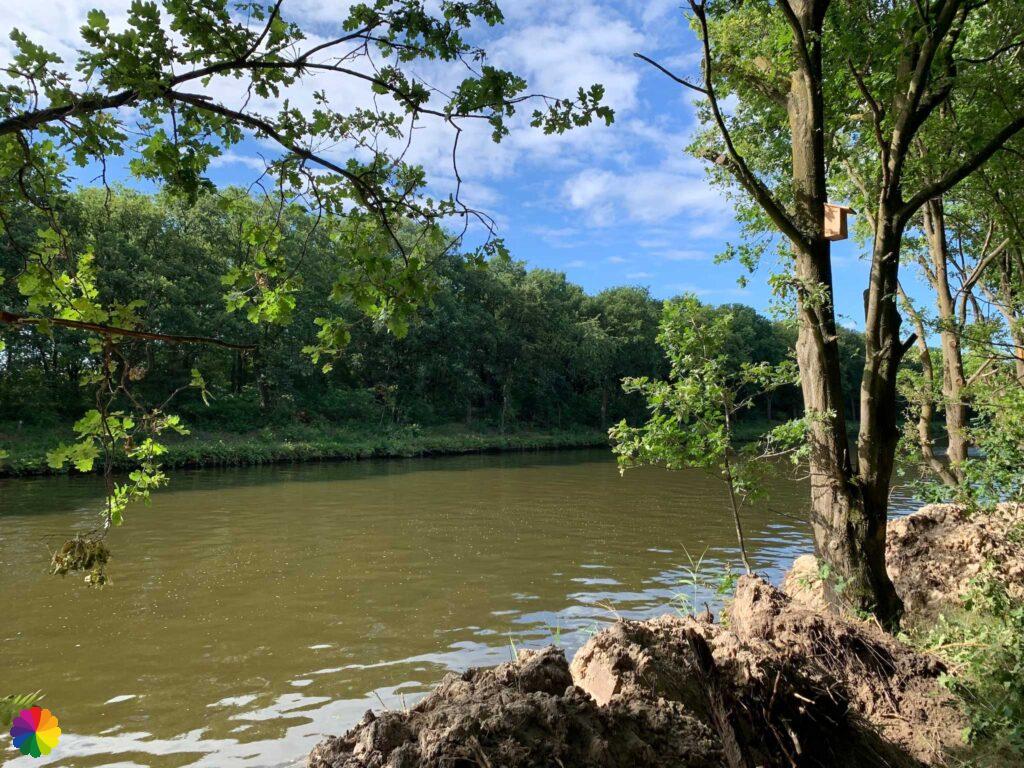
Another difference from the previous defence line is that it is bordered by the Mark Canal. The trail then follows this canal for quite a while until I reach the Salesdreef bridge.


Almost at Breda
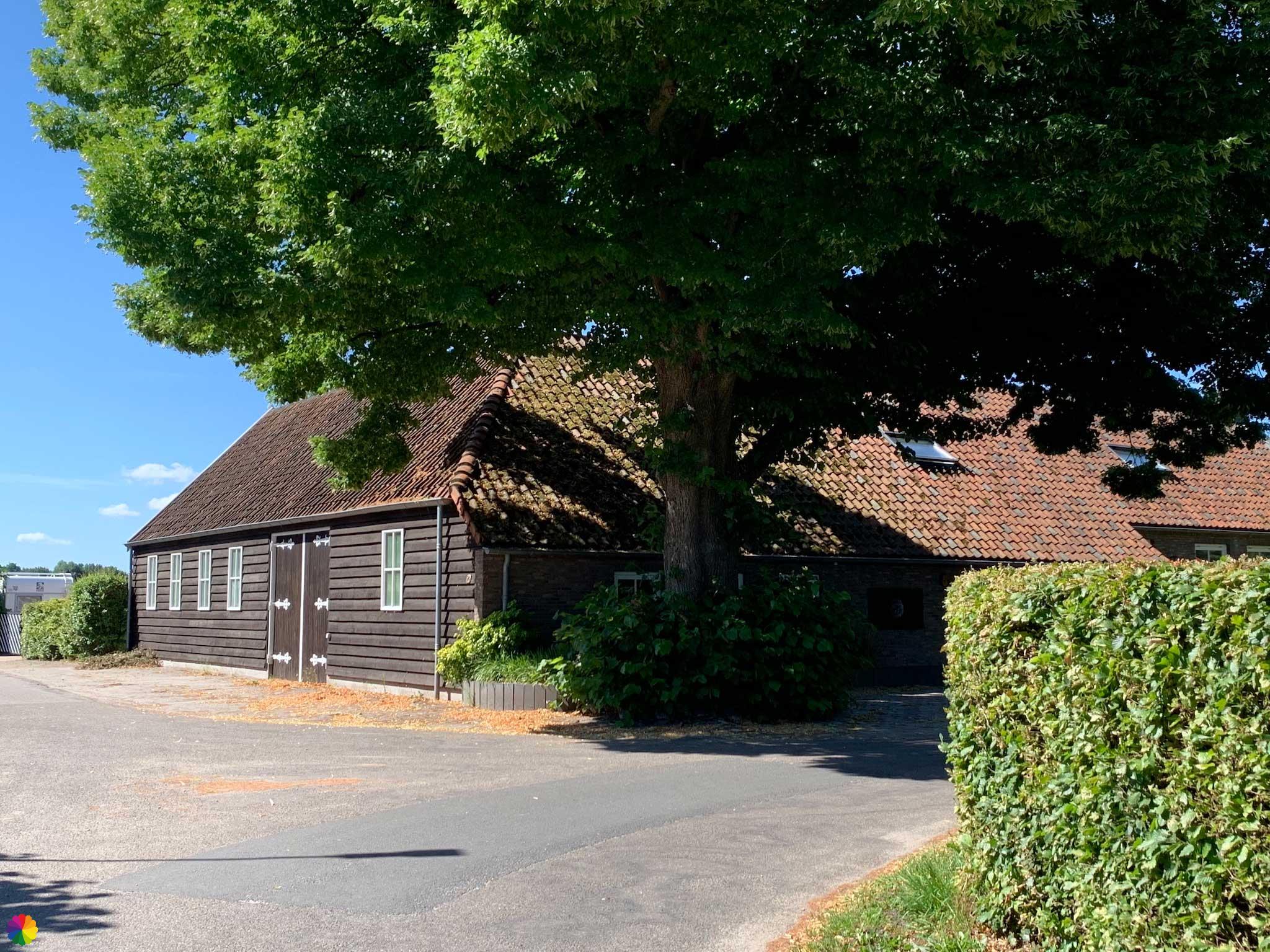
I cross the Salesdreef bridge and am already close to Breda. However, you wouldn’t tell that there is a big city nearby. I walk along nice tree-lined farmland roads. The Spinolaschans is also hidden somewhere here.

The Spinolaschans defence line structure is slightly off the trail, but is marked with an extra loop to add to the hike. I decide to do that part and then catch the bus home further down the road in Breda.
Other trail guide about the same region
I have already passed through the little fence at the nature reserve and am at the path that leads to the Spinolaschans. Still, I like it better to photograph such a defence work early in the morning with nicer light. Next time I can start the trail here very early. I turn around and walk towards the bus stop.


Final thoughts
Short but sweet is in order here. I had expected a boring trail, but nothing could be further from the truth. It turned out to be a very nice, varied trail through the two beautiful hidden gems Linie van den Hout and Linie van de Munnikenhof. Really worth a visit!
More info:
Trail: Section 6 Southern Waterline trailWhere: from Terheijden to Spinolaschans in Breda, Noord-Brabant, the Netherlands.
No. of km: +/- 11.5 km
Hiking date: 15 July 2022
Materials used in illustrations: Coloured pencils for the map and watercolour paints for the illustrations
Rating: ⭐⭐⭐⭐
Pin this hike
Would you like to do this Super hike as well? Pin this hike on Pinterest to save for later!

More trails on the edge of forest and polders
Paths with forest on one side and polders on the other. I love it! More hikes at the forest edge below:
ColourFlux Studio makes use of so-called affiliate links. If you buy a product through the link in an advertisement, ColourFlux Studio receives a small amount. There are no additional costs for the buyer.
Back to Blog.


