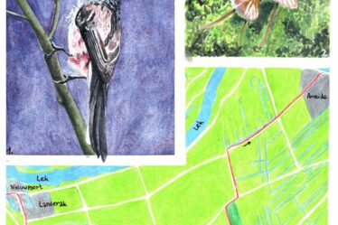
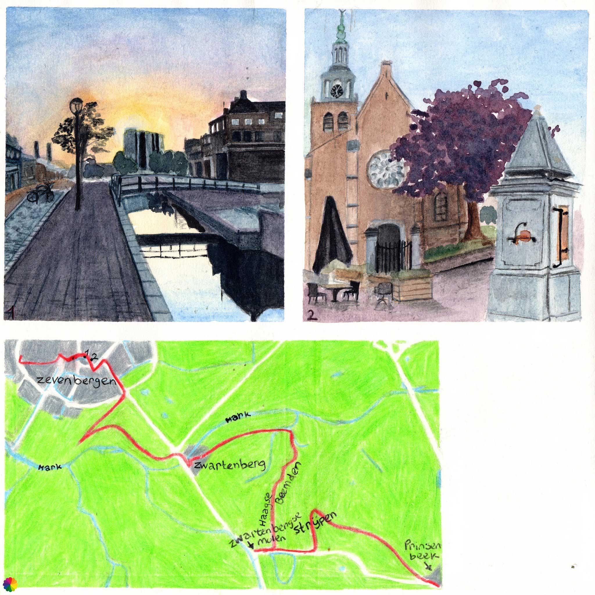
The Southern Waterline trail takes me from Zevenbergen past many farm fields and the small Mark river, and through nature reserves Haagse Beemden and Strijpen to Prinsenbeek.
A short tour through Zevenbergen
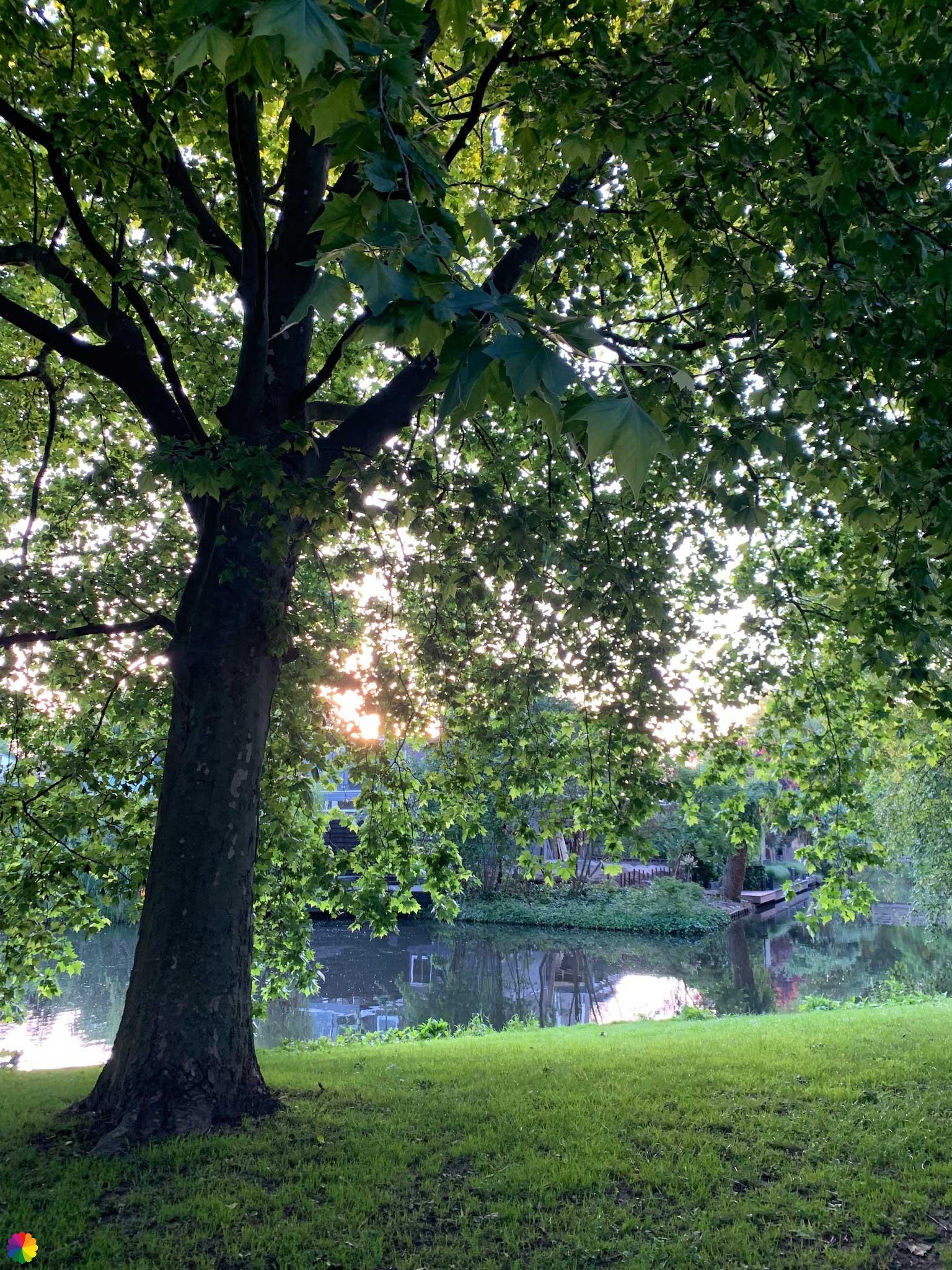
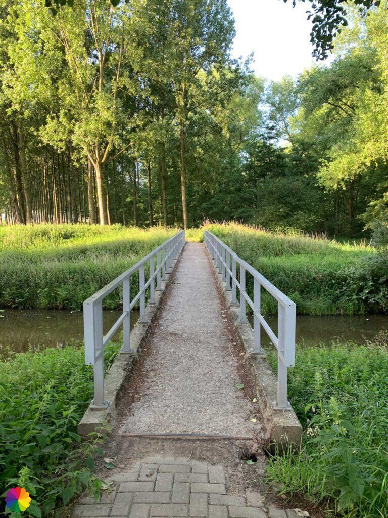
I start at the Westrand of Zevenbergen. I walk through the park with streams and cute little bridges. It seems that this park used to be the outer border of Zevenbergen, as it curves around the residential areas. More residential areas have since been added and it forms a nice, green ribbon through Zevenbergen.
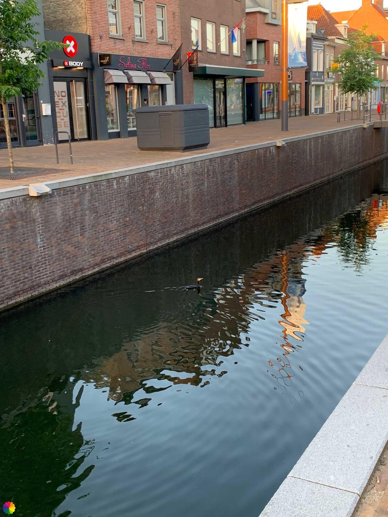
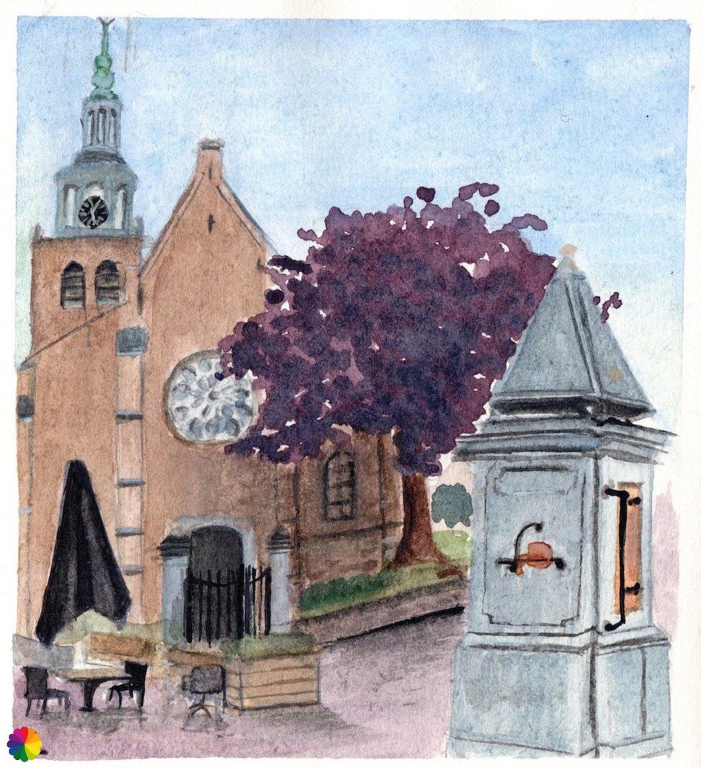
I reach a large park and then walk past the petting zoo to the square at Haveneind. Now I go straight through the centre of Zevenbergen along the Roode Vaart canal. This canal was recreated several years ago to improve the flow between the river Mark and Hollands Diep. In the 1970s, the canal was drained and they turned it into a parking lot. So a few years ago, it looked completely different. I must say that it has improved a lot. The centre looks much nicer with the canal. This makes the street names Noorderhaven (North harbour) and Zuiderhaven (South harbour) more logical when there is water in front instead of a parking lot. Also a cormorant is happy with the canal.

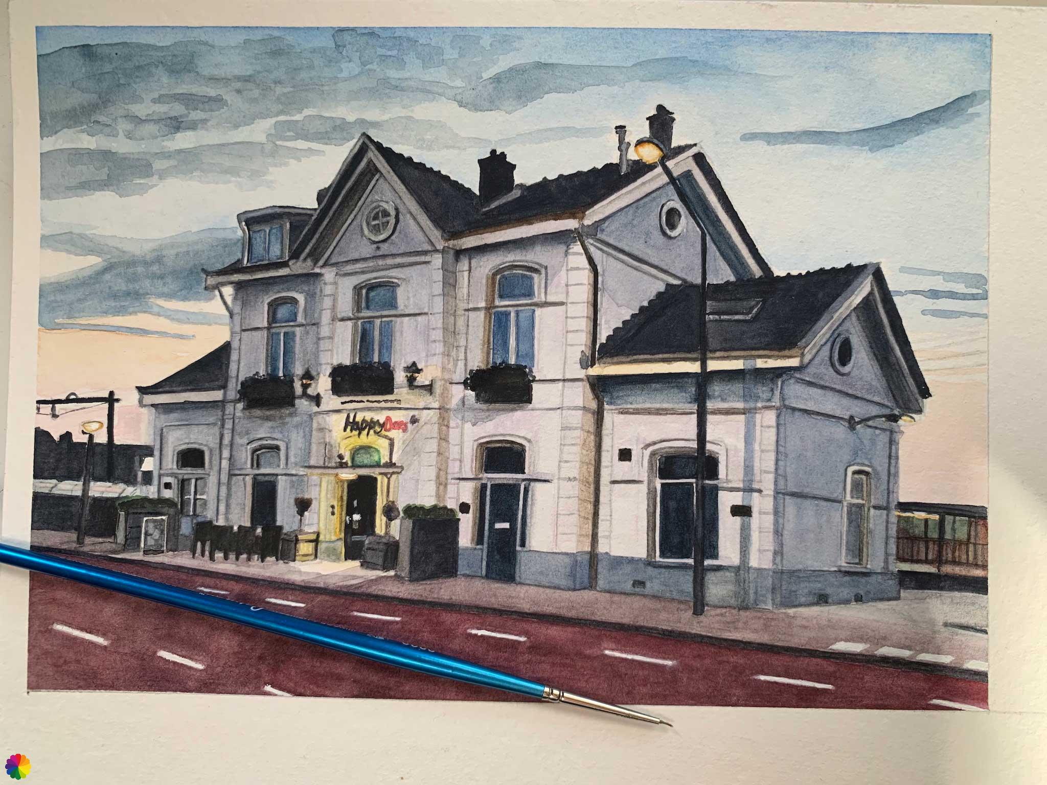
At café Proost, I turn right and walk across the Market square. I walk past the Reformed and Catholic Church and go via the castle square to the railway station. I made a lovely illustration of this station.
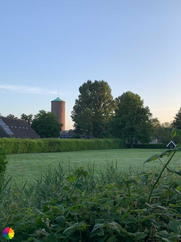
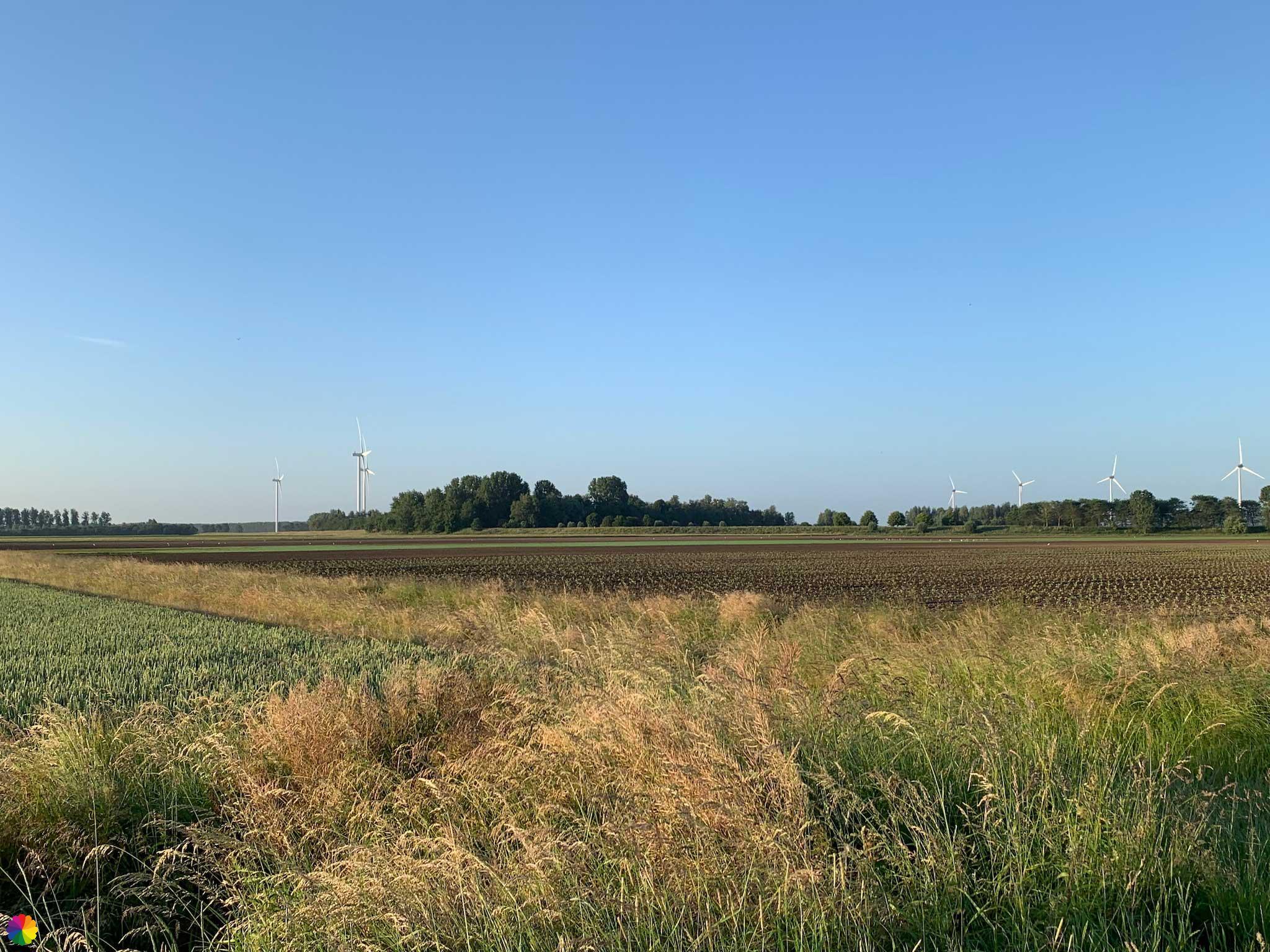
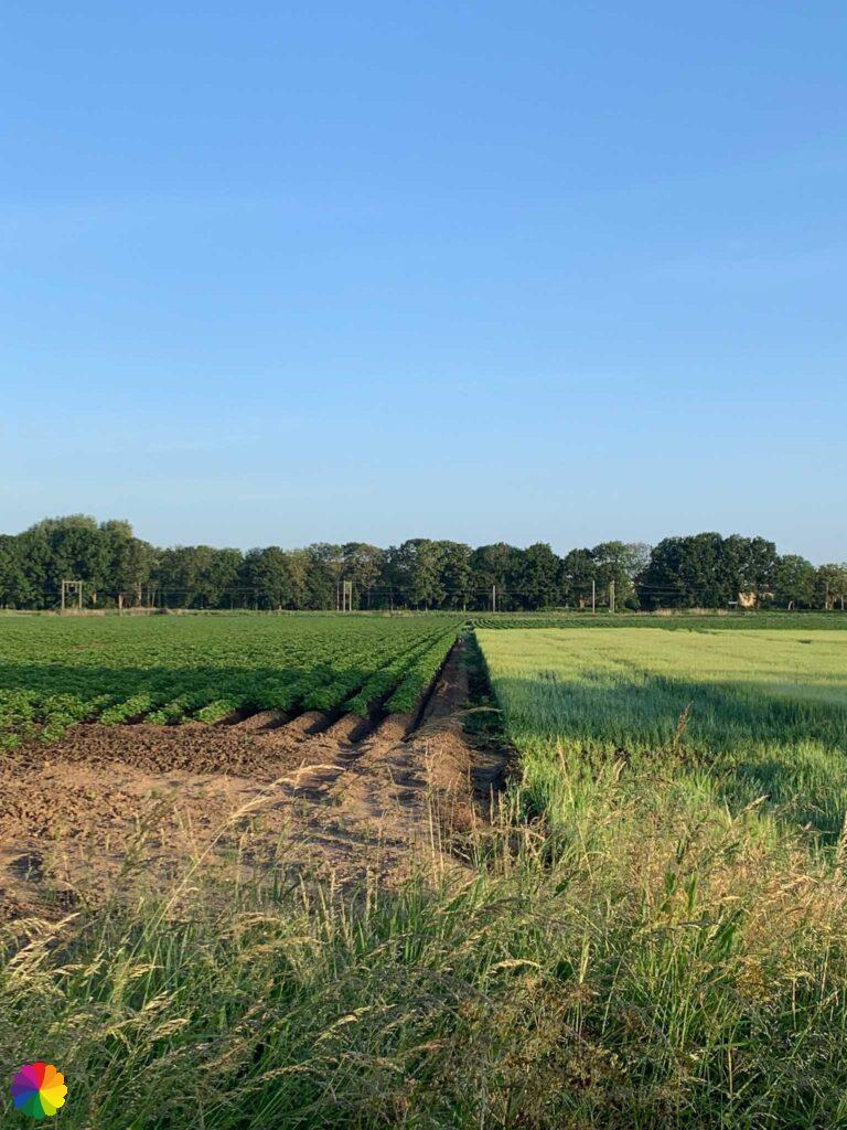
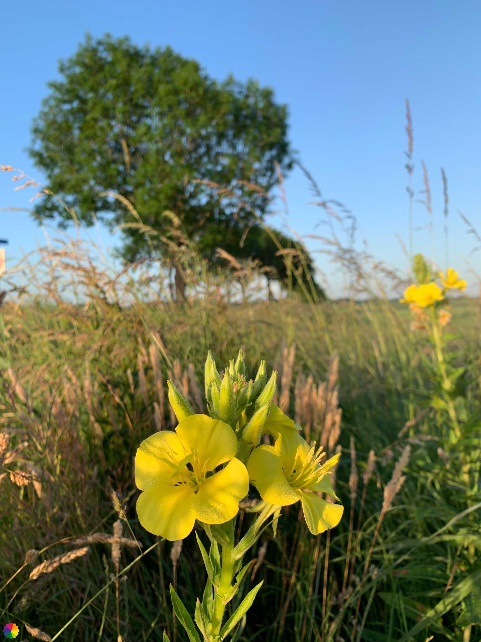
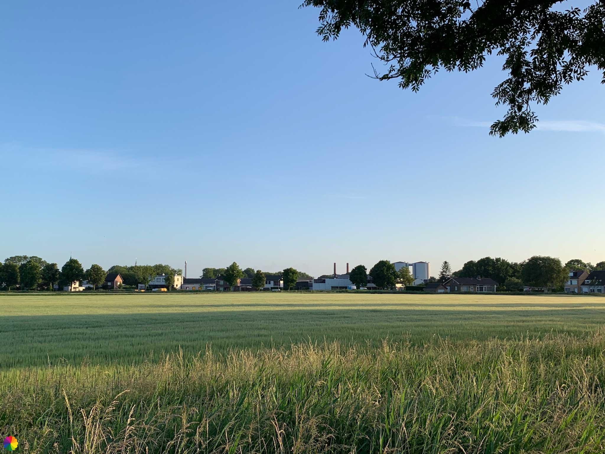
Just past the station, I turn right and cross the train track. Via the Hazeldonkse Zandweg I leave Zevenbergen behind me. I walk past fields where all kinds of crops are growing. A pair of hares run after each other while I’m overlooking the skyline of Zevenbergen.

Hidden Mark river
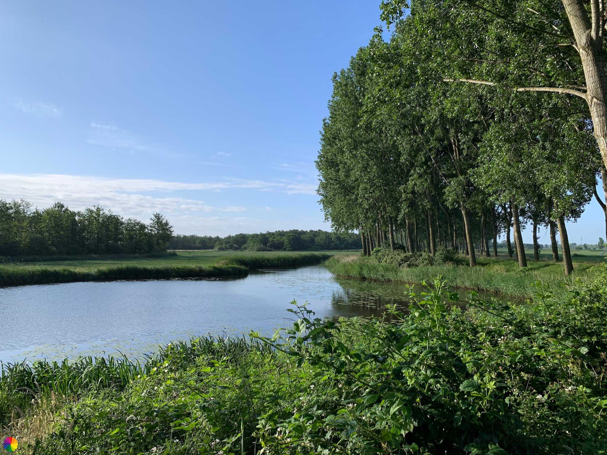
Once again, I turn right over the Afgebrande Hoef and walk towards the Mark river. Despite barely getting to see the river, I will be walking alongside it for the next few kilometres. Only when I cross a bridge at industrial area Zwartenberg do I see a small piece of the river.
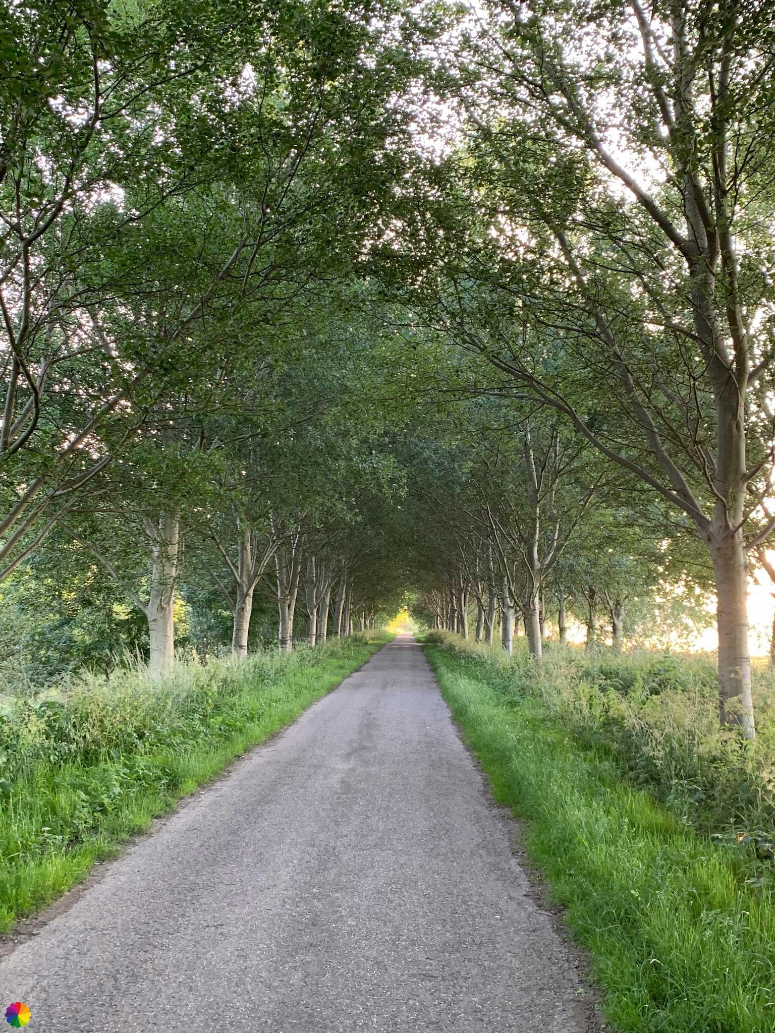
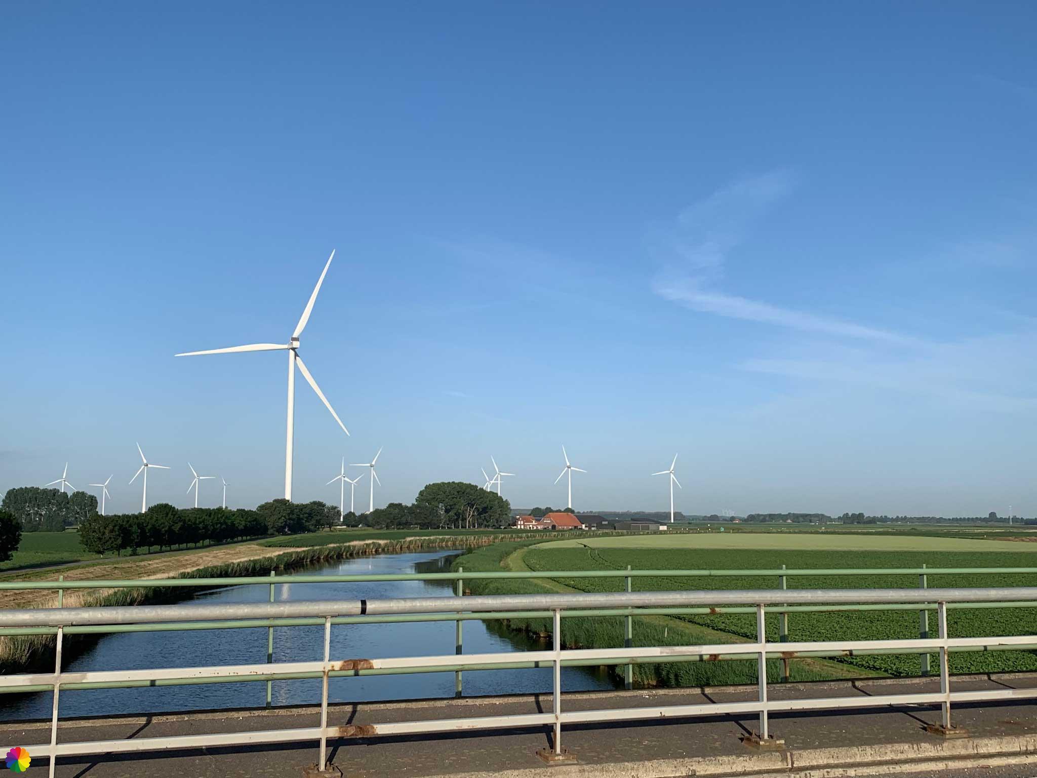
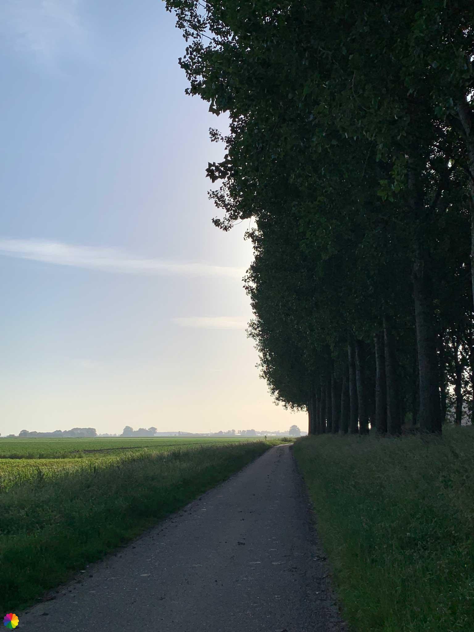
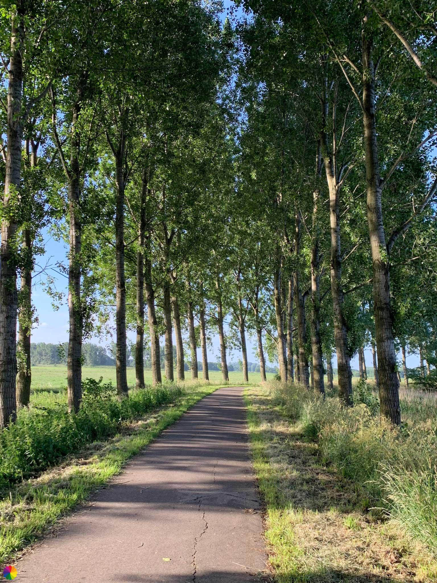
Just after the bridge, I have to go down a steep slope via a grassy path. I walk past a factory site and then a long way along a dike with poplar trees. It is not clear to me whether I should walk along or on the dike. I stick to the paved road. There seems to be no end to this road, but after a while I can finally turn right into the Haagse Beemden nature reserve.
Nature reserves Haagse Beemden and Strijpen
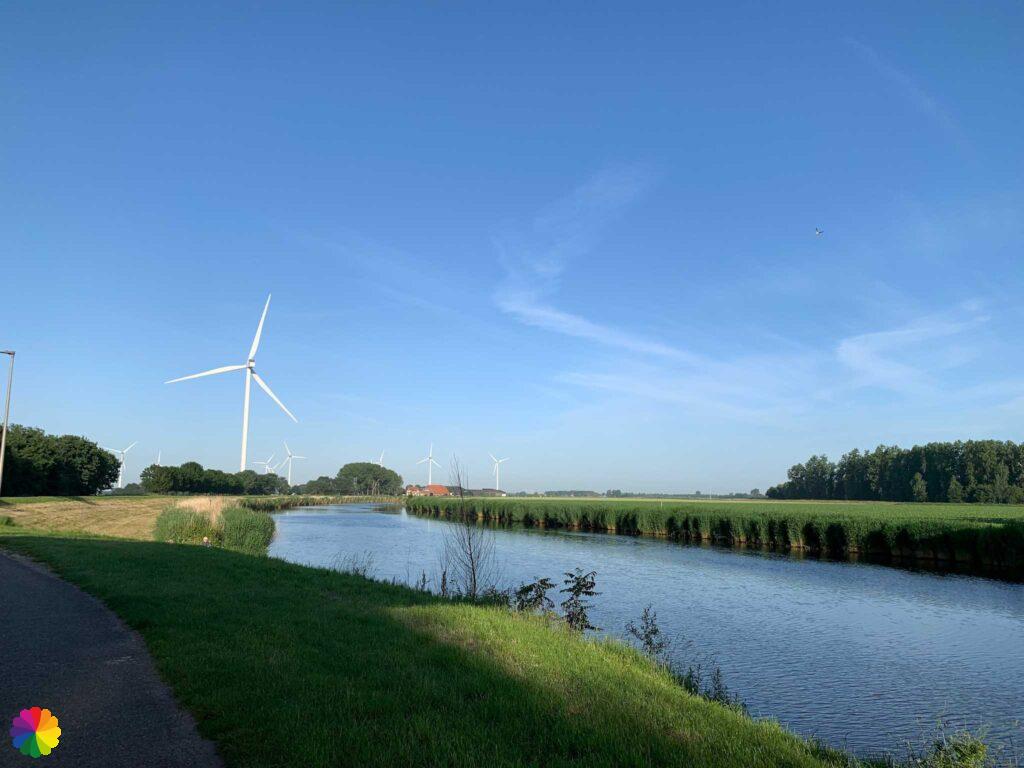
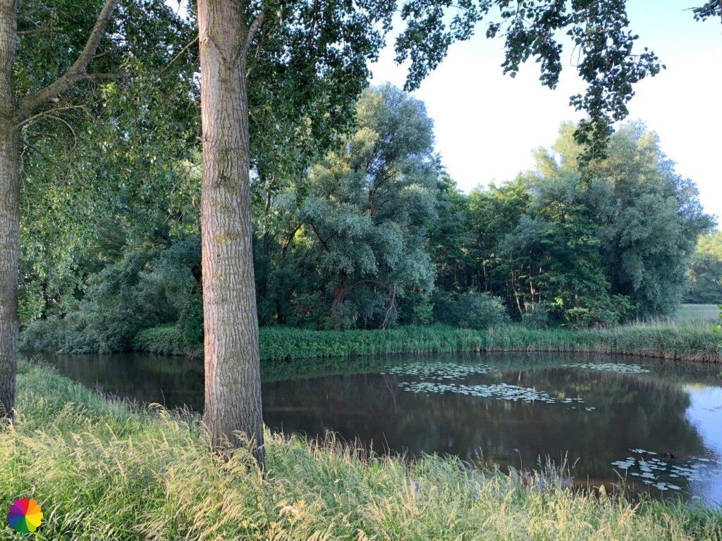
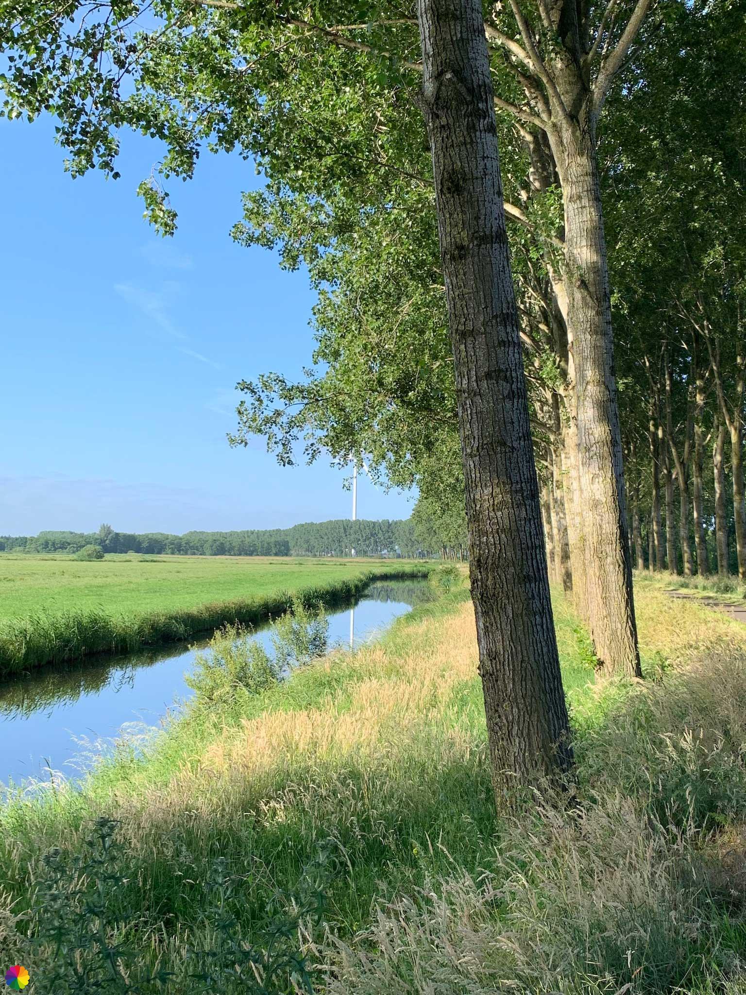
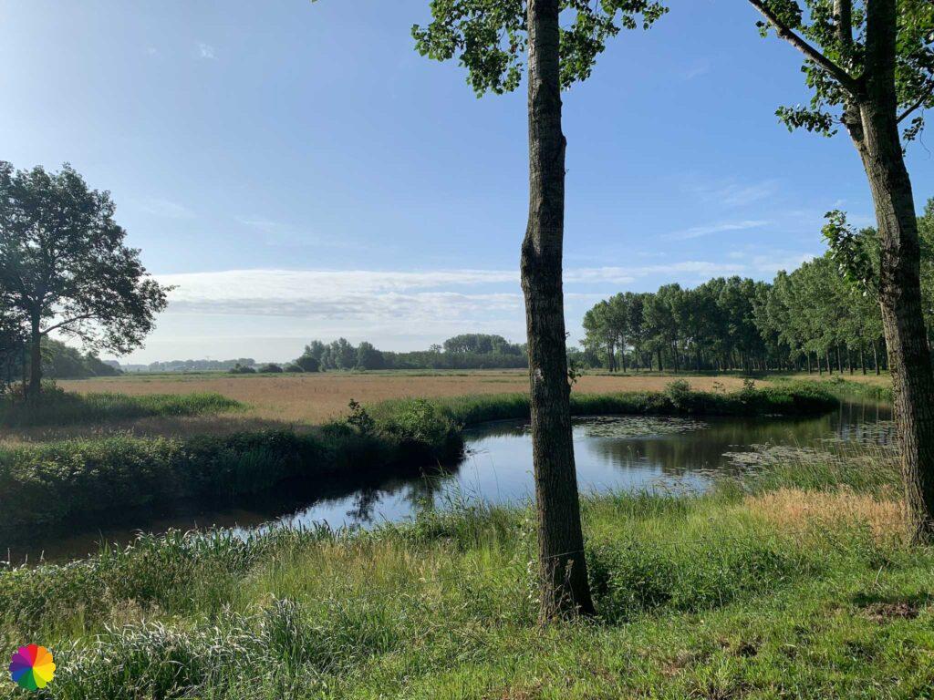
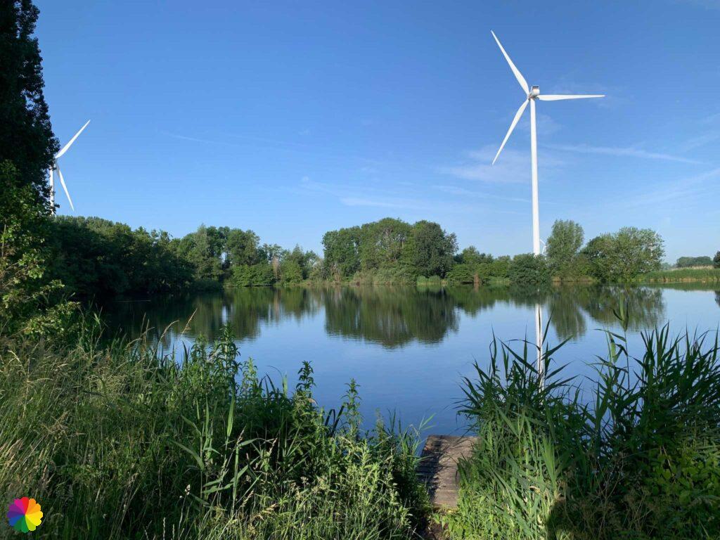
The cycle path winds between tall poplar trees in the Haagse Beemden nature reserve. Nice little lakes can be seen on both sides of the dike.
Between Zevenbergen and Oudenbosch is a similar nature reserve located called the Hoevense Beemden. This is really recommended in spring when the cow parsley and rapeseed are in bloom. I made a 360-degree video of it.
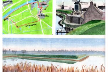
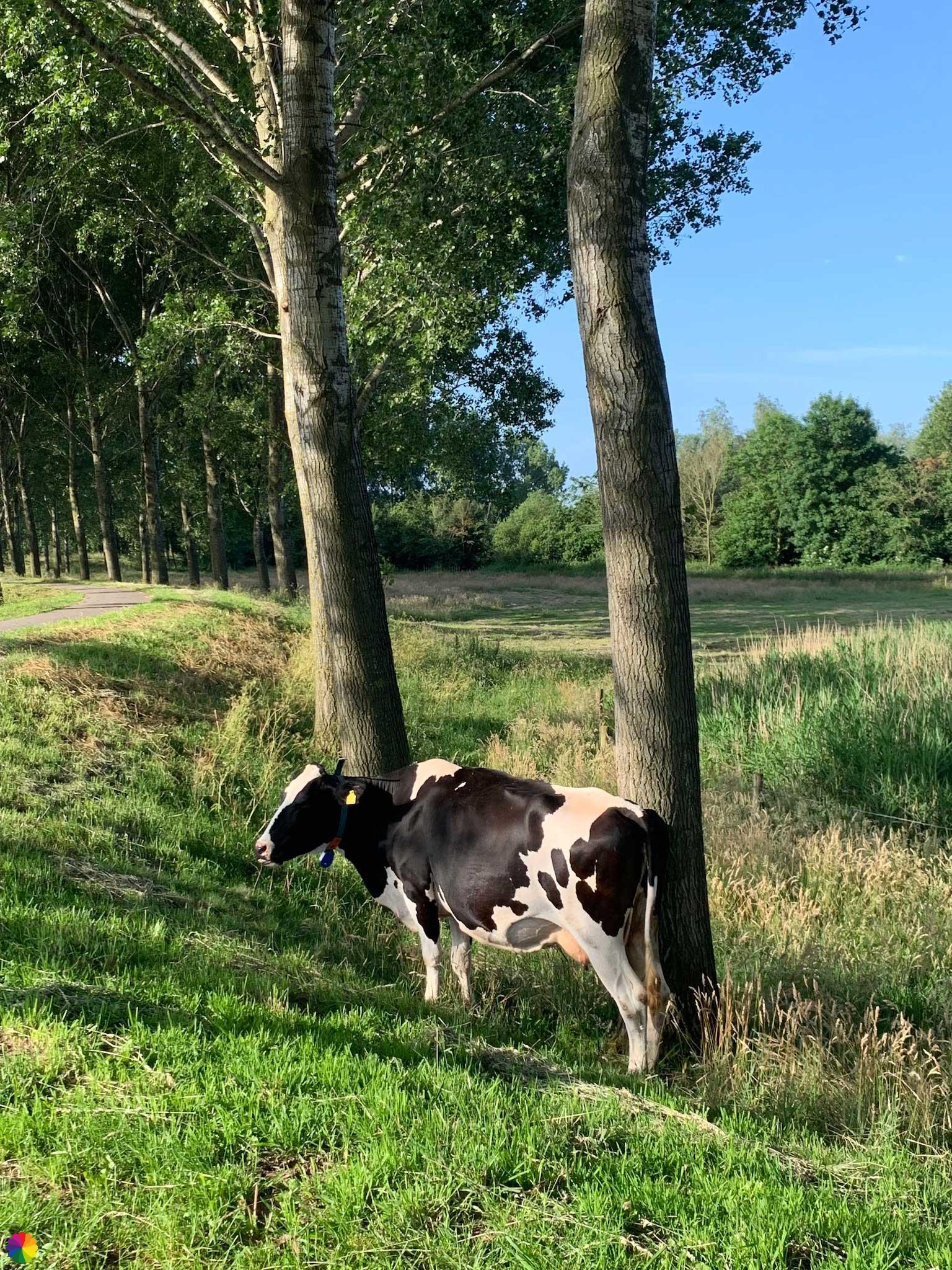
At one of the lakes, I take a break. After my break, I continue walking among the tall trees. This area is also populated by a herd of cows. The group is munching nicely among the trees. This part of the trail is the nicest so far, but in the distance I see the highlight of this hike: the Zwartenberg windmill.
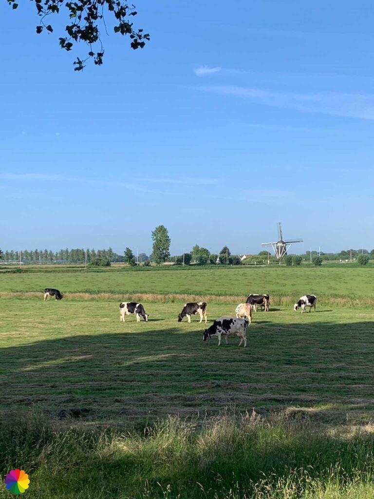
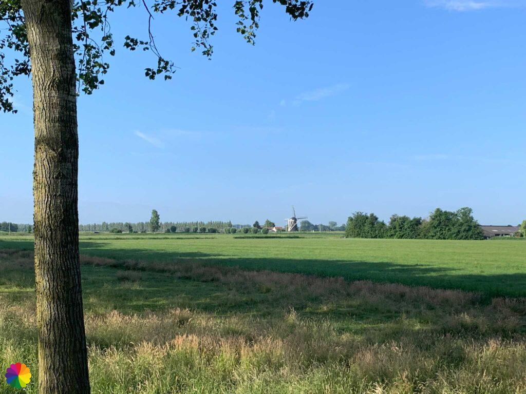
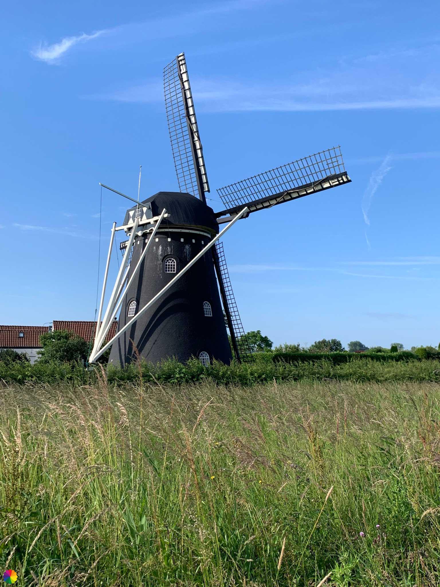
The Zwartenberg windmill is not directly along the trail, for the mill I have to deviate a bit from the trail. I walk towards the windmill and take a quick photo.
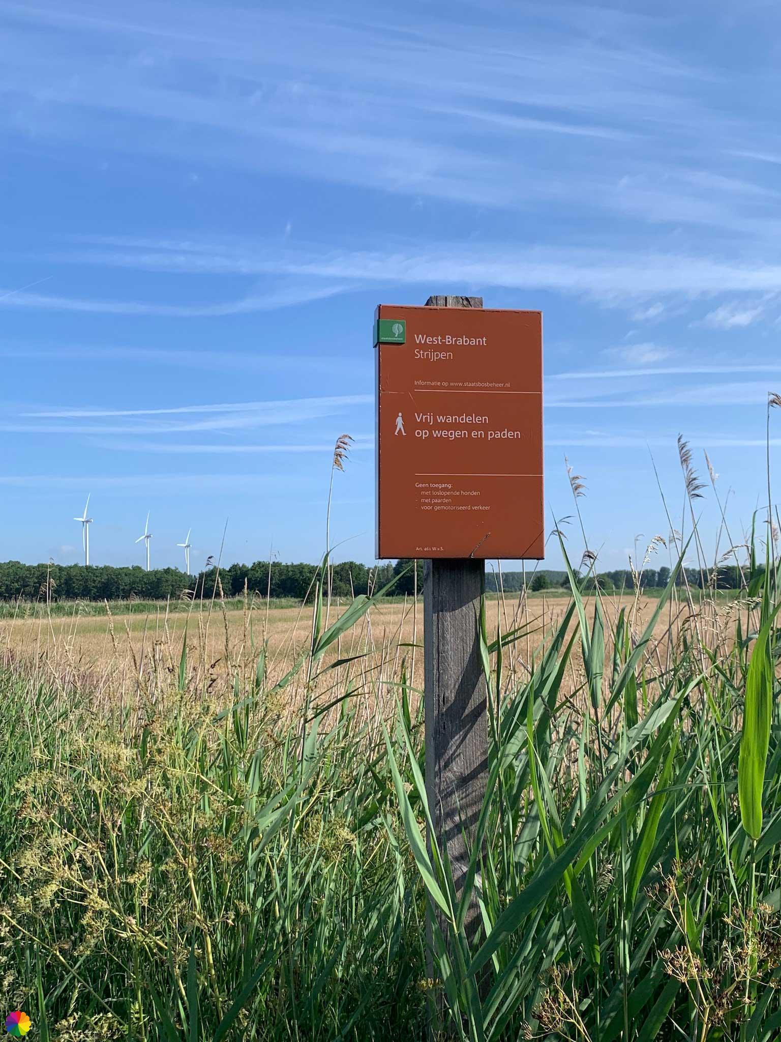
Along the way, I come across an information panel with an interesting hiking trail suitably called the Mill Path. I will save this one for another time. Later, I hiked this trail and it was a very nice hike. But now on with this trail first.
Other trail guide about the West Brabant region
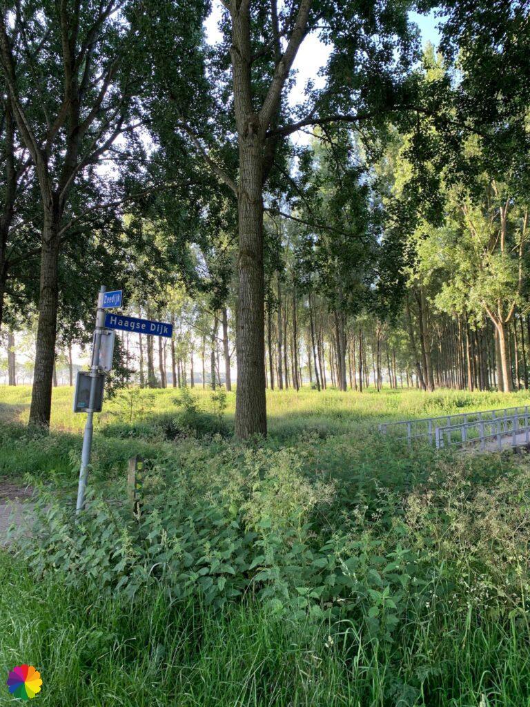
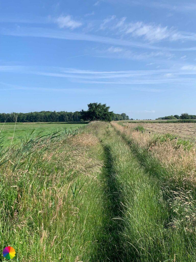
I walk for a bit on a cycle path and a little later am pointed left onto a grassy path. This is a relief because the last three hikes on the Southern Waterline trail were only on paved roads. This path leads me through the Strijpen nature reserve. I walk right through the polder and my shoes are soaked in no time. That is a disadvantage of an unpaved path.
Soon I am back on the paved road. I decide to stop the hike further on, just outside Prinsenbeek. In Prinsenbeek, I can easily catch a bus back to Zevenbergen (my current home town). On the bus back, I see most of the trail I just hiked.
Final thoughts
Fair is fair: between Zevenbergen and the Haagse Beemden, the trail overlooking fields is pretty boring. I’m already glad it’s not a one long road straight ahead and that it’s spring, so different crops are growing. I said it before: in winter, fields are simply boring.
The Haagse Beemden and Strijpen nature reserves are very pretty. And for the highlight, you need to deviate slightly from the trail: the Zwartenberg windmill.
More info:
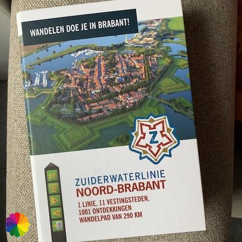
Trail: Section 5 Southern Waterline trailWhere: from Zevenbergen to Prinsenbeek, Noord-Brabant, the Netherlands.
No. of km: +/- 17.5 km
Hiking date: 12 June 2022
Materials used in illustrations: Coloured pencils for the map and watercolour paints for the illustrations
Rating: ⭐⭐⭐
Pin this hike
Would you like to do this Fine hike as well? Pin this hike on Pinterest to save for later!

More hiking along wielen
Ponds and lakes created by dike breaches, called wielen, I encounter more often in my hikes. Here are some more hikes along wielen:
ColourFlux Studio makes use of so-called affiliate links. If you buy a product through the link in an advertisement, ColourFlux Studio receives a small amount. There are no additional costs for the buyer.
Back to Blog.